The Biggest Waves Ever Recorded At Sea
The biggest waves ever recorded at sea are difficult to narrow down to a single record. In 1933, an officer aboard USS Ramapo estimated a wave at 112 feet using his eye line, the ship’s mainmast, and vessel plans. In 2020, a buoy recorded a 58-foot rogue wave off Vancouver Island that was exceptionally large relative to the surrounding seas. Both rank among the biggest ocean waves ever documented. This article compares individual and significant wave height, proportional extremeness, and measurement methods while distinguishing waves recorded at sea from runup events measured against land.
The North Pacific Crossing That Broke The Sixty-Foot Rule

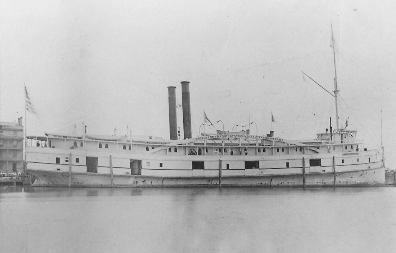
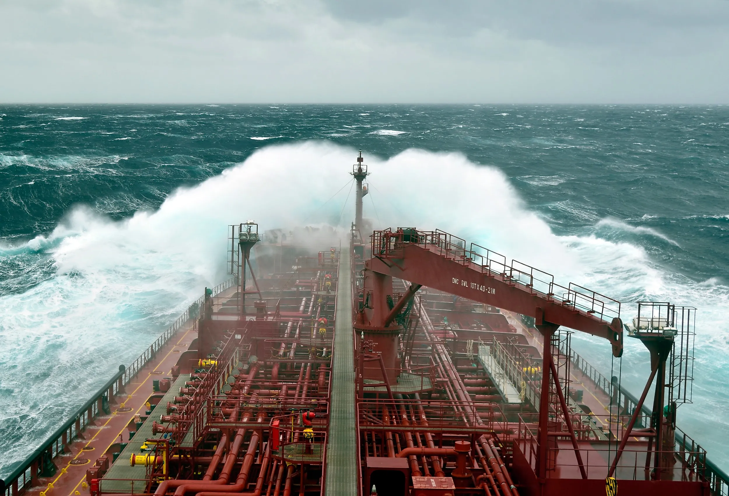
The USS Ramapo left Manila for San Diego in February 1933 and ran into a storm on the North Pacific crossing that was later described as the most severe of that year. Winds held near 60 knots for hours and gusted to 68. The 478-foot Navy oiler ran directly downwind with the sea behind it, which was the only survivable course and also the ideal one for measurement.
Oceanography at the time held that waves could not much exceed 60 feet. Lieutenant (junior grade) Frederick C. Marggraff stood the midwatch on the bridge. He watched a crest astern rise above an iron strap on the boom by the mainmast crow's nest while the ship's stern was down in the trough. His own height, 5 feet 11.5 inches, became one term in the calculation. Using Marggraff's sight line and the ship's plans, Whitemarsh estimated a 112-foot wave, but the ship-based visual reconstruction carries substantially more uncertainty than modern fixed-sensor measurements.
Four other men filed sworn affidavits from their own positions. Their figures came in at 82, 86, 107, and 119 feet. The two lowest came from two decks further down, and therefore from deeper in the trough. Lieutenant Commander R. P. Whitemarsh published Marggraff's figure and recorded that another observer had handed him a larger one.
The North Sea Platform That Ended The Argument

The Draupner S platform carried a downward-pointing laser above the north-central North Sea, sampling the surface for 20 minutes out of every hour. Sixty-two years after the Ramapo, on the afternoon of January 1, 1995, one of those windows happened to be open. A wave of 25.6 meters, about 84 feet, went past beneath the deck.
The sea around it that day ran to a significant wave height of nearly 12 meters, roughly 39 feet. The wave's total height was about 2.15 times the significant wave height, while its crest rose 1.55 times that benchmark, qualifying it as rogue under the crest-height criterion and definitions using a two-times wave-height threshold. Statistical models treated a wave this extreme as highly improbable rather than impossible, and the Draupner record supplied direct evidence that such outliers occur.
Later work confirmed the measurement. A 2016 review found no substantial foam at the crest, meaning green water went under the platform rather than a breaking wall of spray. That fortunate 20-minute record became a foundational case study for three decades of subsequent rogue-wave observations, experiments, and modeling.
The Rockall Trough Ship That Was Only Running A Survey Line

RRS Discovery rode out the storm of February 8, 2000, hove to near Rockall, roughly 155 miles west of Scotland. The ship had gone north on a routine errand. Its scientists were occupying a hydrographic section between Scotland and Iceland, a line of measurements the same institution had been running since 1976.
Westerly winds had blown across the North Atlantic for two days. The researchers hypothesized that a frontal system moving near the waves' group velocity repeatedly fed energy into the developing sea.
The shipborne wave recorder counted 23 waves above 66 feet in a 12-hour stretch. The tallest reached 95 feet crest to trough, and the significant wave height peaked at 61 feet. Discovery's 29.1-meter wave remains among the largest directly recorded individual waves, while its 18.5-meter significant wave height holds the WMO record for a ship observation. A hindcast model run against the same storm reproduced the arrival of the wave group and then underestimated the biggest waves inside it.
The Gauges On The Gulf Of Mexico Floor

Hurricane Ivan passed directly over six wave and tide gauges on the outer continental shelf of the northeastern Gulf of Mexico on September 15, 2004. The Naval Research Laboratory had put them on the seafloor the previous May, roughly 75 miles south of Gulfport, Mississippi. The gauges were on the bottom, and they survived. Surface instruments fared worse, and NOAA buoy 42040 broke loose from its mooring and went adrift before Ivan's strongest conditions arrived.
Pressure gauges on the seabed provide a direct time series of the surface above them. The instruments logged 146 large waves. Two dozen of them topped 50 feet, and one reached 91 feet crest to trough. The significant wave height ran to 59 feet.
The published analysis goes further, and the further part is inference rather than measurement. Because the gauges sampled for only 512 seconds every eight hours, the authors inferred that significant wave height near the eyewall exceeded 69 feet and that individual waves exceeded 130 feet. Discovery's tallest wave still exceeds anything the Gulf gauges caught, and the gap between the two is under 5 feet.
The North Atlantic Buoy Record

The North Atlantic between Iceland and the United Kingdom produced the figure most often quoted as the biggest wave ever recorded. A Met Office weather buoy measured 19 meters, or 62.3 feet, on the morning of February 4, 2013. A strong cold front had just driven winds through the area at about 50 miles per hour.
The World Meteorological Organization files the reading under a careful heading: highest significant wave height as measured by a buoy. Significant wave height is the average of the tallest third of the waves passing a point. A person watching 15 or 20 of them would report roughly that figure. The record, therefore, describes a whole sea rather than one wave. Individual crest-to-trough wave heights that morning would have exceeded 62.3 feet, but the buoy record does not establish the height of any individual wave or crest.
The organization's own rapporteur founded its extremes archive partly because the press overstates weather events, and the coverage of this record proved the point. Headlines called it the tallest wave ever measured. A larger significant wave height has since been measured from orbit, although the WMO's 19-meter buoy record remains a separate instrument category. On December 21, 2024, the Surface Water and Ocean Topography satellite crossed the center of a North Pacific storm. The reading came to at least 19.7 meters, about 65 feet, the largest in 34 years of satellite data. That storm sent a swell about 15,000 miles, through the Drake Passage and into the tropical Atlantic.
The Small Buoy On Amphitrite Bank, Vancouver Island

On the exposed west coast of Vancouver Island, the water off Ucluelet rose 58 feet under a small buoy on November 17, 2020. The instrument measured about 3 feet across and rode roughly 4 miles out on Amphitrite Bank, in 148 feet of water.
By height alone, the wave does not match Draupner or Discovery. What put it in the literature is the modest sea that produced it. The 17.6-meter crest-to-trough wave was 2.91 times the 6.05-meter significant wave height, while its crest rose 11.96 meters above mean sea level, or 1.98 times the significant wave height. That ratio is likely the highest ever recorded.
The study found that modulational instability contributed little to this event and instead reproduced it through random wave superposition with higher-order Stokes corrections.
Both the inertial sensor and differential GPS recorded the 11.96-meter crest. The authors reported a 17.6-meter wave using the preceding trough, while the following trough would produce a height of 19.5 meters.
The Indian Ocean Tsunami That Crossed an Almost Flat Ocean

Two satellites flew over the Bay of Bengal about two hours after the earthquake of December 26, 2004. Their tracks ran roughly 90 miles apart, and between them they caught something no instrument had captured before. Jason-1 and TOPEX/Poseidon are radar altimeters, built to measure the shape of the sea surface. Both happened to cross the front of the tsunami spreading through the Indian Ocean.
The wave they measured was about 2 feet high in deep water.
The figure is neither an error nor a rounding. A tsunami in deep water carries its energy through the whole column rather than in a crest, so it runs long instead of tall. The one moving that morning had a wavelength near 285 miles and traveled at close to 500 miles an hour. A ship going over it would have felt nothing at all.
Later tracks caught the decay. Envisat crossed the front about three hours in and measured 14 inches. A fourth altimeter, more than seven hours behind, still found 8 inches. Height only appeared at the coast, where the seafloor rose, and all that length had nowhere to go. The wave that reached coastlines all around the Indian Ocean was, in the middle of it, about knee high.
The Lituya Bay Number That Was Not a Wave

Lituya Bay has the most famous number in the subject, and the number is not a wave height. On the night of July 9, 1958, the Fairweather Fault slipped. Tens of millions of cubic yards of rock were dropped into Gilbert Inlet at the head of the bay. The displaced water stripped the forest from the slope opposite to a sharp line 1,720 feet above the bay.
That line is what was measured. Don J. Miller of the US Geological Survey was aboard a survey barge in Glacier Bay when the fault let go. He chartered a float plane the next morning. The altimeter on that first pass read 1,800 feet. Miller later measured the highest forest trimline at 1,720 feet and estimated that the water itself surged to about 1,740 feet above sea level.
Lituya Bay is a nearly landlocked tidal inlet connected to the Gulf of Alaska, not an open-ocean setting comparable with the other records. The bay is a glacier-cut tidal inlet with a narrow and shallow entrance. A wall of rock fell into a nearly closed basin, and the water had one direction to go.
The Modest Number
No single wave holds the title because individual height, significant wave height, proportional extremeness, runup, and measurement method produce different contenders. Whitemarsh chose the 112-foot Ramapo estimate despite another observer reporting 119 feet. Off Vancouver Island, researchers reported a 17.6-meter wave using the preceding trough, although measuring from the following trough would have yielded 19.5 meters. The biggest waves ever recorded at sea are therefore best understood as a collection of amazing records rather than a single definitive winner.