The American Coastlines Where The Seafloor Drops Fastest
Most people hear "fastest seafloor drop" and visualize the plunge into a trench, such as the Mariana or Puerto Rico Trench. In these trenches, the seafloor falls away for miles. But that happens far offshore where there are deep-ocean tectonic zones. On the other hand, when considering the American coastlines, the story of a seafloor drop is closer to shore. Basically, it is the shape of the continental shelf that is along the shore. In places such as California, Alaska, and the Pacific Northwest, the seafloor drops almost immediately because the shelf is quite narrow in these locations. It is this near-shore steepness as mapped through NOAA and USGS bathymetry that is the focus of this article.
Pacific Margin

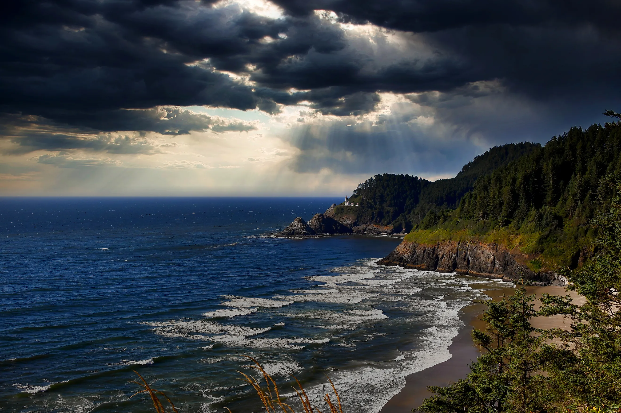
The Pacific Margin has the steepest near-shore drop-offs of the continental US. It is located along the US west coast as well as other Pacific Ocean areas. The shelf is narrow and the slope begins almost immediately offshore. It is an active continental margin as it resulted from tectonic plate movement. This is different from the passive continental margins on the Atlantic and Gulf coastlines, which have thick accumulations of sedimentary materials. How much and how quickly the seafloor drops varies along the coastline. For example, in Southern California the shelf is just a few miles wide and drops quickly, whereas in Central California, the Monterey Canyon cuts right into the shelf, resulting in one of the fastest depth changes in the US. To give a comparison, the Atlantic continental shelf stretches up to about 250 miles wide in places. The Mendocino Triple Junction in Northern California is different because this is where three tectonic plates meet, namely the Pacific, North American, and Gorda plates.
Cascadia Margin

The Cascadia Subduction Zone is where the Juan de Fuca Plate compresses the margin. This results in a narrowing of the shelf and a steepening of the drop. This zone runs about 600 miles between Cape Mendocino, California, and Vancouver Island. It is also considered an active margin with steep near-shore seafloor drops. The shelf does vary along the zone with some areas with a slightly wider shelf, but the drop is still significant. The shelf is widest off Washington, while Oregon has the narrowest stretch along Cascadia. The depth changes are dramatic along the Cascadia Margin, second only to some areas of Alaska, namely the Aleutian Islands and the Gulf of Alaska fjords.
Alaska

Alaska has two sub-regions, the Gulf of Alaska and the Aleutian Islands. In the Gulf of Alaska, the continental shelf is cut by deep glacial troughs and submarine valleys. Steep underwater walls were created by fjords and glacial troughs. In the Aleutian Islands, there are places where there is literally no shelf to speak of and the drop is right into the Aleutian Trench system. The steepest areas are Prince William Sound, the Unimak Pass region, and the Kenai Peninsula fjords.
Keeping An Eye On Our Coastlines
The coastlines along the western US are complex and continually reshaped by tectonic activity. Scientists pay close attention to how environmental and geological changes could affect communities along these margins. This is especially true in areas where active plate boundaries can influence the continental shelf. As the tectonic plates move, they can alter both the width and depth of continental shelves. Since all the areas mentioned are active continental margins, they are all subject to change. Major shifts typically occur over long geological timescales, but shorter-term changes can happen due to canyon erosion, sediment movement, and submarine landslides.