What Would Happen If Lake Superior Overflowed
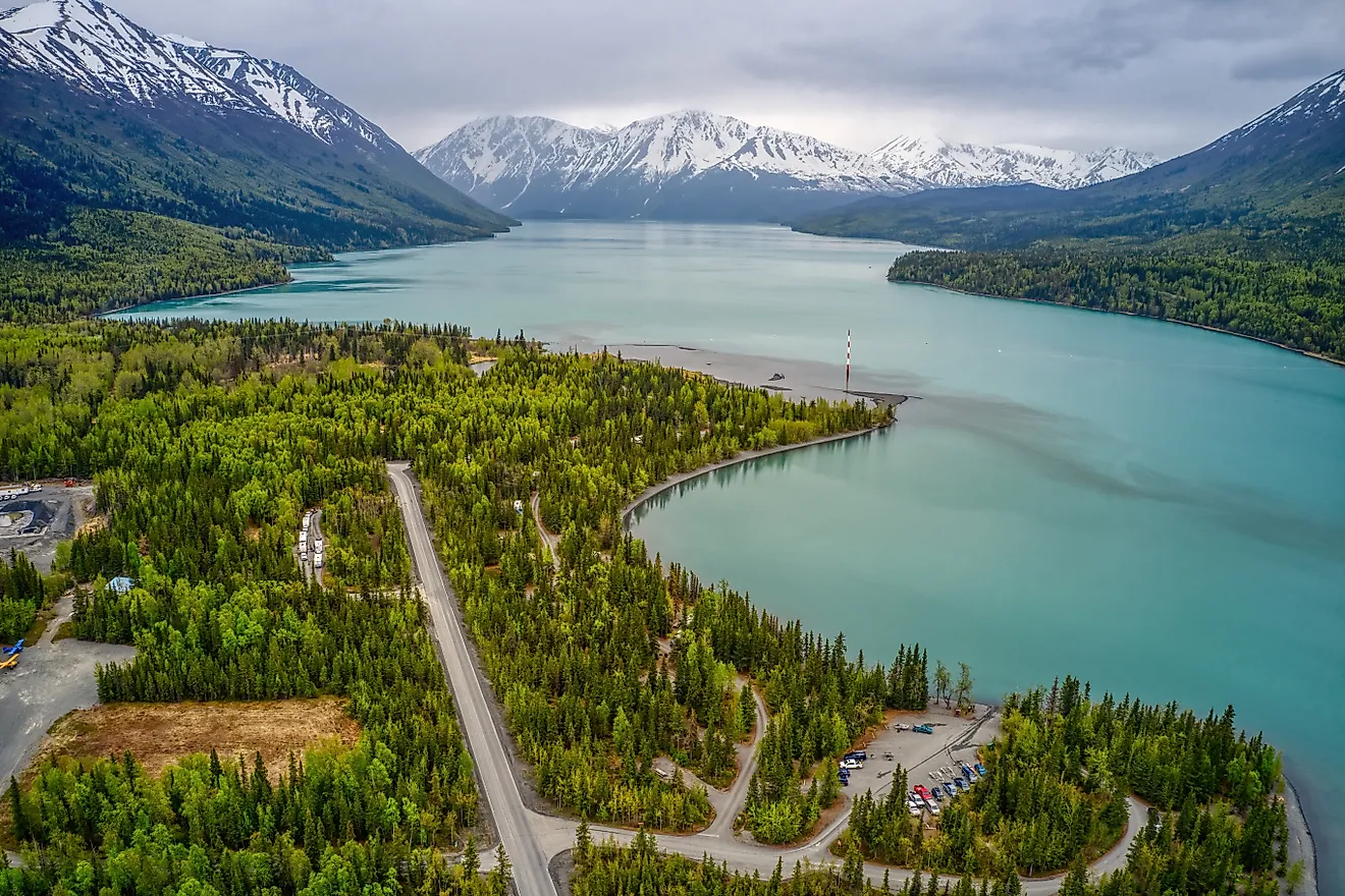
Lake Superior holds 10% of the planet's fresh surface water, and it drains through a single narrow outlet at Sault Ste. Marie. In a wet enough stretch of years, precipitation, snowmelt, and runoff can add water faster than evaporation and the St. Marys River can remove it, and the level rises past its regulated range. The International Lake Superior Board of Control has been blunt about the limits here: regulation can nudge the lake, but it cannot beat weather and runoff at scale. What follows a sustained rise is not one wall of water. The damage arrives unevenly, starting at the lowest ground and working outward into bluffs, downstream lakes, sewers, and marshes.
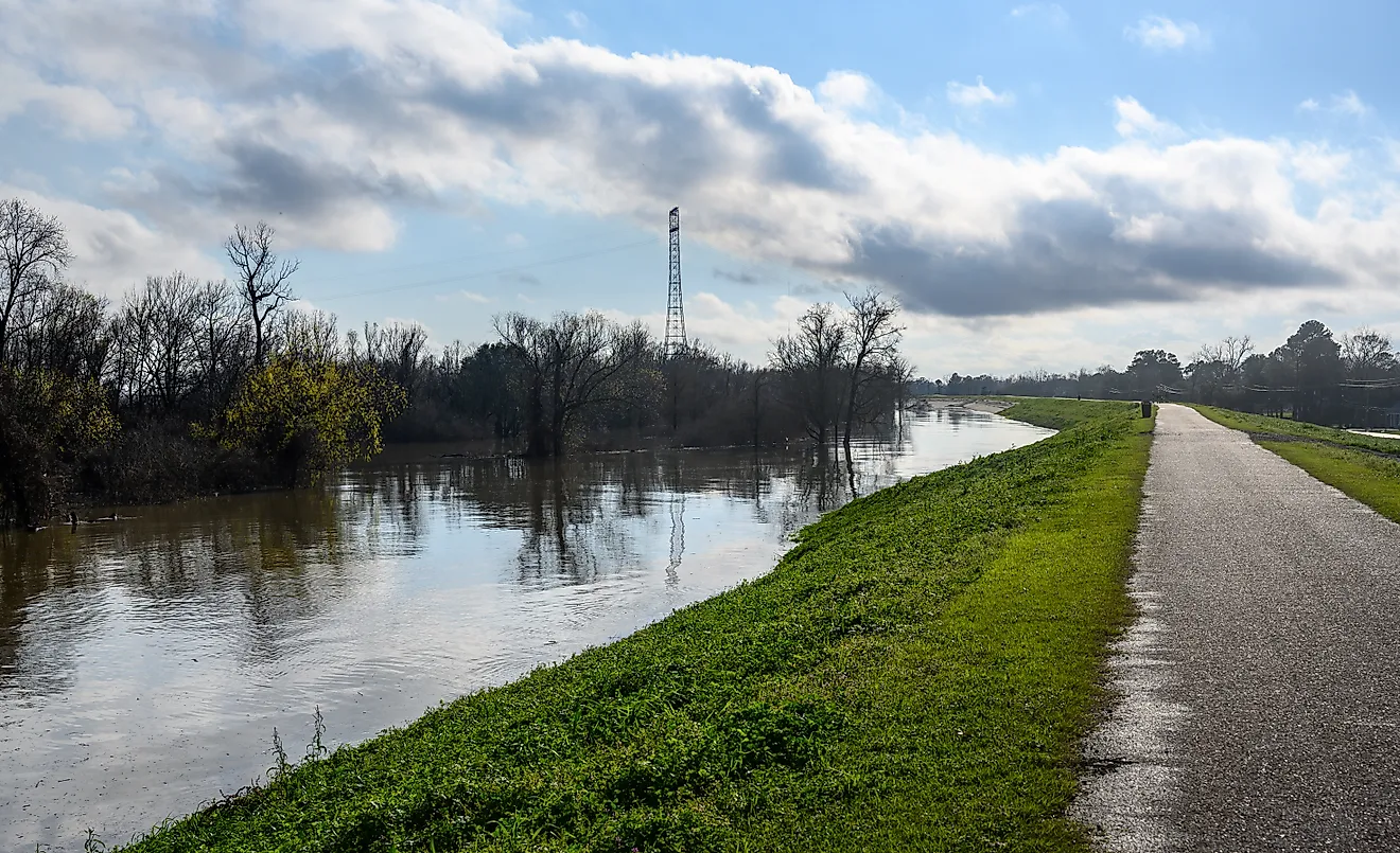
Low-Lying Shorelines Would Flood First

The clearest preview came on October 21, 2019, when Lake Superior was already unusually high. During a powerful northeast storm, the NOAA gauge in the Duluth harbor reached 604.75 feet (184.3 meters). That reading was a possible all-time high for the station, topping a mark of 604.42 feet set in 1985. The National Weather Service reported flooding around Canal Park and restricted access to Park Point to emergency vehicles. An extreme high-water scenario would start from an even higher baseline, allowing comparable winds to push water across low shorelines more frequently.
The scale behind even a modest rise is enormous. EPA measurements put Lake Superior's surface area at about 31,700 square miles. Raising that entire surface by one foot would take roughly 25 cubic kilometers (about 6 cubic miles) of additional water. Because so much volume is needed to move the lake vertically, an extreme lake-level rise would most plausibly result from a sustained period of unusually wet conditions rather than a single storm. The first land lost to the water would be low harbor margins, beaches, river mouths, and similarly flat coastal ground.
Bluffs Could Collapse Faster Than The Waterline Advances

Flooding would not be the only way the shoreline moved inland. Wisconsin's Department of Natural Resources describes how waves at high Lake Superior levels attack the bases of glacial-till bluffs. Once enough supporting sediment is removed, sections of the slope can slump or fail. A prolonged rise would expose higher portions of those bluffs to regular wave action, accelerating a process that already occurs along parts of the south shore. This creates a different hazard from temporary inundation: a house or road can remain above the lake yet still be threatened as the ground beneath it retreats. High water also narrows beaches that normally absorb wave energy before it reaches a bluff. Wisconsin DNR specifically links periods of high water and strong storms with serious erosion, meaning prolonged extreme water levels could permanently reshape vulnerable coastlines even where standing floodwater never reaches buildings.
Ordinary Storms Would Become More Destructive

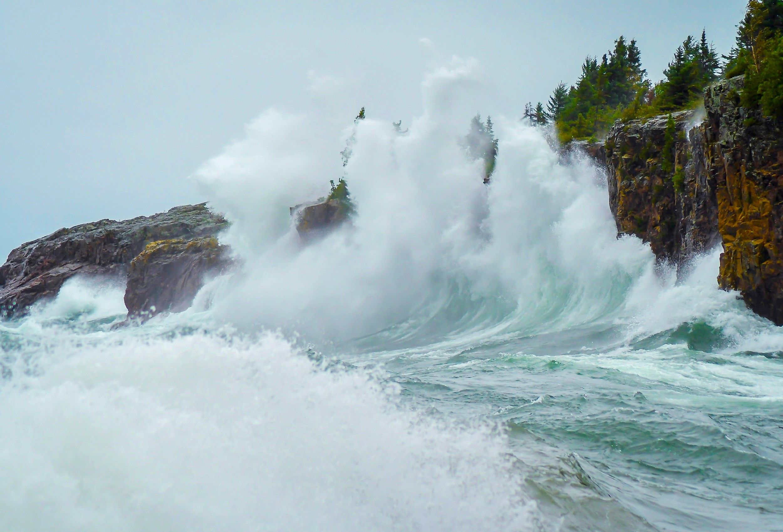
The waves themselves would not need to become larger for their reach to increase. Storm surge, wind setup, and wave run-up all begin from the existing lake surface. Raising that surface moves every subsequent wave closer to developed land. During the October 2019 Duluth storm, gusts reached 74 mph on the Blatnik Bridge while water climbed to 604.75 feet at the harbor gauge. The resulting flooding and shoreline damage occurred because strong winds were acting on a lake that was already high.
During a sustained period of extreme high water, storms that currently cause only minor shoreline trouble could begin crossing beaches, overtopping protective structures, or reaching roads. The change would be especially important during autumn northeast storms, when long stretches of open water allow large waves to build before striking the western end of Superior.
The St. Marys River Would Become The Main Pressure Release

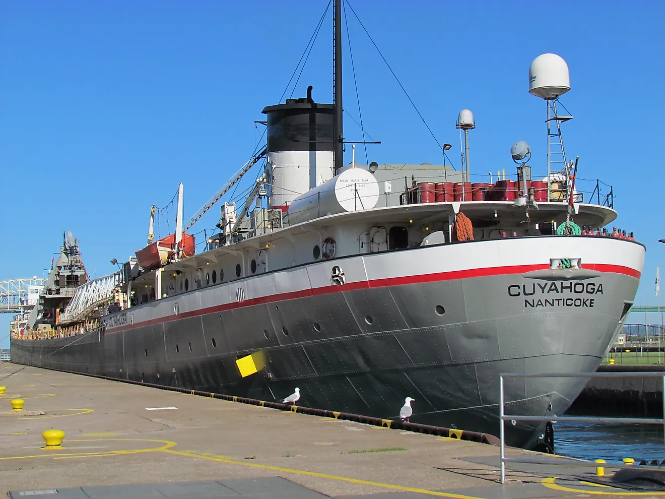
Lake Superior's excess water has one principal route out: the St. Marys River. That makes Sault Ste. Marie central to any extreme high-water scenario. The outlet is regulated using hydropower facilities and the Compensating Works, but neither can move unlimited amounts of water. In October 2017, the International Lake Superior Board of Control set Superior's outflow at 3,130 cubic meters per second (110,500 cubic feet per second). Available hydropower capacity was about 2,122 cubic meters per second (74,900 cubic feet per second), forcing much of the remaining discharge through the control structure into the St. Marys Rapids. Flow over the rapids averaged roughly 994 cubic meters per second (35,100 cubic feet per second) that month.
Those releases already had visible consequences. The IJC reported inundation on low sections of Whitefish Island and flooding of recreational trails. If Superior rose further, Plan 2012 would determine monthly outflows by balancing conditions on Superior and Michigan-Huron with downstream and operational constraints, rather than simply maximizing the release from the upstream lake. Higher flows would enlarge the rapids, strengthen currents, and raise water along low banks before the discharge reached Lake Huron. Regulation could slow Superior's rise, but it could not make an extreme basin-wide water surplus disappear.
Lake Michigan-Huron Would Rise, But Not In A Sudden Domino Effect

Water released through the St. Marys River enters Lake Huron and therefore adds to the hydraulically connected Lake Michigan-Huron system. The increase would be gradual. International Joint Commission calculations indicate that changing St. Marys River discharge by 400 cubic meters per second (14,100 cubic feet per second) for one month alters Michigan-Huron's level by only about 1 centimeter (0.4 inches) when other factors are held constant. That measurement rules out the idea of Superior suddenly spilling into Huron and triggering an immediate chain reaction through the Great Lakes.
The more serious case would occur if the same wet climate pattern were raising several lakes at once. During the exceptionally wet 2017-2020 period, record or near-record levels occurred across much of the Great Lakes system. Additional Superior outflow under similar conditions would be entering a downstream lake that might already be gaining water rapidly from its own precipitation and runoff.
Sewers And Drinking-Water Systems Could Fail In Unexpected Places

Some consequences would appear underground before they became dramatic at the shoreline. The International Lake Superior Board of Control warns that very high levels can cause sanitary sewer backups, flood freshwater storage wells, and inundate water-intake pumping facilities. These problems become more likely during storms, when wave action and temporarily elevated water add to the lake-wide rise.
The Duluth-Superior waterfront adds another complication. EPA investigations in the St. Louis River Area of Concern have documented contaminated sediments left by more than a century of industrial activity, including PCBs, mercury, PAHs, and chromium. At the Ponds Behind Erie Pier site, two backwater ponds ringed by marsh in the St. Louis River estuary, EPA and the Minnesota Pollution Control Agency agreed to remove approximately 45,000 cubic yards of contaminated sediment and cover the dredged area with about six inches of clean material. High water would not turn all of Lake Superior toxic; its volume is far too large for that interpretation. The concern is local disturbance. Where contaminated sediment remains exposed, flooding or erosion could create localized water-quality problems, but their likelihood, concentration, and duration would depend on the site, the contaminants mobilized, and existing remediation measures.
Some Coastal Wetlands Would Move Inland, While Others Lose Ground
Great Lakes wetlands are adapted to changing water levels, so higher water is not automatically harmful. The problem begins when the rise is both large and persistent. A 2023 study measured 1,538 vegetation transects at 342 coastal wetland sites along the US Great Lakes shoreline between 2011 and 2019. Researchers found landward movement of the wetland edge at 62% of sites overall and 70% of Lake Superior sites, while modeled wetland extent generally shrank as vegetation zones shifted.
Along an undeveloped Superior shoreline, marsh plants may be able to colonize higher ground as suitable water depths shift inland. That option disappears where a road, seawall, steep bluff, or other barrier blocks migration. In those places, the wetland can be compressed between deepening water and unusable land. A prolonged period of extremely high water would therefore rearrange coastal habitat unevenly, preserving some marshes through migration while reducing others where there is nowhere left for them to go.