The US Lakes You Should Not Swim In
A shoreline that looks perfect on a hot afternoon can still be the wrong place to get in the water. Harmful cyanobacteria, elevated bacteria, and recurring toxin advisories periodically make contact with the water unsafe at lakes across the United States. The important word is periodically. Most of the lakes below stay open through the year, and conditions shift sharply from one cove or beach to the next. Each one is here for a documented pattern of serious advisories, repeat harmful algal blooms, or unusually high toxin readings. The consolation is that nearly all of them sit at the center of landscapes worth a full day even when the water is off-limits, with trails, wildlife refuges, state parks, overlooks, and mountain country close at hand.
Utah Lake, Utah

Utah Lake looks especially inviting beneath the Wasatch Mountains, but summer visitors should check conditions before treating it like a giant swimming pool. In August 2026, a lake-wide harmful algal bloom warning was in effect, and county health officials advised people not to swim or water-ski and to keep pets away from affected water. Similar warnings ran through parts of the 2025 recreation season. Cyanobacteria multiply quickly in warm, nutrient-rich water, and some species produce toxins that can irritate skin or cause illness if contaminated water is swallowed.
The shoreline is still a rewarding place to spend a day. Utah Lake State Park holds picnic areas, camping, and a visitor center, with broad views toward Mount Timpanogos and the rest of the Wasatch Front. Birders can head toward the Provo River Delta, where waterfowl and other marsh species gather in the restored wetlands. Provo Canyon is close enough for a same-day detour to Bridal Veil Falls or one of the canyon trails. When a bloom warning is active, those land-based stops make far more sense than hunting for a clear-looking patch of water.
Grand Lake St. Marys, Ohio

Grand Lake St. Marys is one of Ohio's classic summer landscapes, a broad reservoir edged by parks, campgrounds, and small communities. It also carries a long history of nutrient pollution and cyanobacterial blooms. State-issued advisories have appeared on the lake nearly every recreation season since 2009, and monitored beaches have repeatedly recorded microcystin above the state's 8-parts-per-billion recreational threshold. That pattern matters because the water can look calm and pleasant even while toxin concentrations run high enough to make swimming a bad choice.
There is plenty to enjoy around the lake without stepping off the shore. Grand Lake St. Marys State Park has a nature center, fishing access, a dog park, mini golf, playgrounds, and several easy trails. The Red Wing Black Bird Trail runs through a mix of wooded and open ground that suits a relaxed walk. Celina is the liveliest nearby stop, with waterfront views, restaurants, and a walkable center on the northwest side of the lake.
Sunset is particularly good here. The horizon here is flat and low, so photographers work with a wide band of open sky, setting fishing boats, docks, and marsh birds against the evening light without entering the water at all.
Clear Lake, California

California's Clear Lake is huge, striking, and known for one persistent problem: harmful algal blooms. Cyanobacterial outbreaks have recurred here for decades, and parts of the lake move through caution, warning, and danger levels during warm weather. In 2025, sections of the Oaks Arm reached the state's highest danger category, and visitors were told to avoid all water contact in those areas. Conditions differ substantially around the shoreline, so one clean-looking bay does not reflect what is happening elsewhere.
A visit still holds plenty of range. Clear Lake State Park has shoreline scenery, campgrounds, birding, and hiking through oak woodland. The short Indian Nature Trail introduces visitors to the area's Pomo history, while longer routes such as Dorn Trail climb into quieter terrain above the lake. Kelsey Creek is another good spot for watching waterfowl. Beyond the park, Mount Konocti is the region's volcanic backdrop and the site of one of the most memorable hikes in Lake County. Open water, rugged hills, and old oak woodland together make Clear Lake worth seeing even on days when the safest choice is to admire it from shore.
Lake Okeechobee, Florida

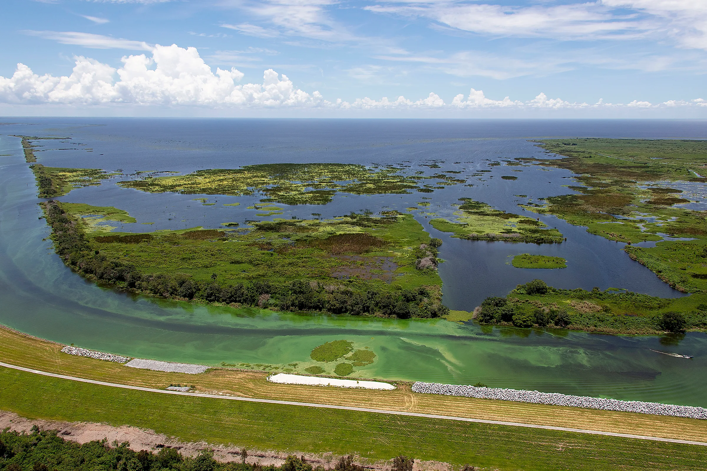
Lake Okeechobee is so large that it feels more like an inland sea than a typical Florida lake. Its size is no protection from harmful algae. During 2026, state and county health agencies issued repeated blue-green algae alerts at several locations around the lake after toxins were detected. Officials routinely advise people not to swim, wade, or use personal watercraft where blooms are visible. Because blooms move with wind and weather, conditions can change quickly around the shoreline.
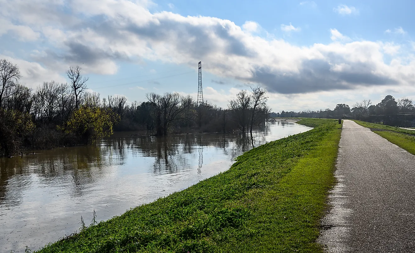
The best way to experience Okeechobee during an advisory is from the Herbert Hoover Dike. Much of the Lake Okeechobee Scenic Trail runs along the raised embankment, and walkers and cyclists get wide views over marshes, open water, canals, and sugar-growing country. Clewiston, Pahokee, Moore Haven, and the city of Okeechobee each work as access points, and each shows a different side of the lake. Birdlife is another major draw. Herons, egrets, ibises, and wintering waterfowl are common around the wetlands, and sunrise can be spectacular from the eastern shore. For travelers interested in the Everglades watershed, the dike is also a clear vantage on the enormous engineering system that regulates the lake's water levels.
Agency Lake, Oregon

Agency Lake lies in a broad volcanic basin where marshes, pasture, mountains, and open water meet. The setting is superb, but swimming calls for caution. Oregon placed the lake under a recreational-use advisory in July 2026 after testing found elevated microcystin, one of the toxins tied to cyanobacterial blooms. Dogs warrant particular attention, since they may drink contaminated water or lick algae from their coats after wading.
The standout alternative is Wood River Wetland on the north side of the lake. This restored wetland covers thousands of acres, and an accessible trail leads through marsh habitat toward wide views of the Klamath Basin. The first section is easy to explore, with interpretive signs, benches, and a native pollinator garden along the way, and the longer routes are best for birders and photographers. Sandhill cranes, waterfowl, raptors, and marsh birds all use the surrounding basin at different times of year. The nearby Wood River winds through meadow and wetland before reaching Agency Lake. On a clear day, with the distant Cascade peaks in view, a walk along this shoreline is far more memorable than a quick swim would be.
Upper Klamath Lake, Oregon

Upper Klamath Lake has one of the most dramatic settings on this list. Broad water runs beneath the southern Cascades, and extensive marshes wrap around its northern end. Cyanobacteria are a recurring summer issue, and Oregon placed the lake under a precaution in May 2026 after a visible bloom was reported. Visitors are advised to avoid scummy, discolored, or obviously blooming water, especially with children or pets.
Wildlife is the better reason to come. Upper Klamath National Wildlife Refuge covers a huge sweep of freshwater marsh used by American white pelicans, grebes, herons, bald eagles, ospreys, and vast numbers of migrating waterfowl. The surrounding Klamath Basin is one of the West's great birding regions, particularly during migration.
Klamath Falls is the easiest base on the southern shore. From there, travelers can pair lake views with the Link River Trail, local museums, and day trips toward Crater Lake National Park. The change in scenery is striking, with marsh and open basin on one side and forested volcanic country less than two hours away. That range is reason enough to plan around Upper Klamath even when a swim is not part of the day.
Pinto Lake, California

Pinto Lake is much smaller than most lakes here, yet its toxic-bloom history is unusually severe. Researchers and California water officials have documented recurring cyanobacteria and very high microcystin concentrations during major bloom events. Excess nutrients have made the lake highly productive, which sets up conditions in which harmful blooms intensify during warmer months. For swimmers, that history means a posted advisory deserves immediate attention rather than a casual glance at the water's color.
Pinto Lake County Park turns the visit into something far broader than a waterfront stop. A roughly 2.7-mile trail circles through coast live oak, meadow, and eucalyptus habitat, with regular chances to spot ducks and other waterbirds. The park also holds a bike pump track, disc golf, picnic areas, a fishing pier, public art, and a short self-guided nature trail. Watsonville is only minutes away, so it is easy to pair the park with a meal downtown or a drive through the Pajaro Valley's farm country. The area's rolling fields and coastal light photograph especially well in late afternoon, giving visitors plenty to aim a camera at without touching the lake.
Lake Jesup, Florida

Lake Jesup carries an unusual double identity. It is an important wildlife habitat in Central Florida, and it is also a place where swimming is a poor idea even beyond the risk of harmful algae. Health officials issued several blue-green algae toxin alerts here during June and July 2026 after samples confirmed cyanotoxins. The lake also holds a large alligator population, one more compelling reason to stay on land.
The Lake Jesup Wilderness Area is the right way to take in the landscape. Trails cross flatwoods, hammocks, and open ground near the lake, with chances to see wading birds, raptors, deer, and alligators from a sensible distance. Hiking, cycling, and horseback riding are permitted on designated routes, while swimming is prohibited within the natural-lands property. Nearby Sanford makes an entirely different kind of stop, with a historic downtown, restaurants, breweries, and a riverwalk along Lake Monroe. Spend the morning among the wetlands and wildlife, then head into Sanford for lunch and an afternoon walk beside the St. Johns River system.
Lake Isabella, California

Lake Isabella spreads across a dry, mountain-ringed basin at the southern end of the Sierra Nevada, a sharp contrast between blue water and pale, rocky slopes. On a hot day, the beaches below that scenery are hard to resist. In June 2025, though, testing at multiple sites found harmful algal bloom conditions severe enough to trigger California's highest danger advisory at several coves and recreation areas. Other sites carried warning or caution designations, a reminder of how uneven conditions can be around a large reservoir.
The surrounding Kern River Valley has enough to do that swimming becomes optional. Kernville is a particularly useful base, with outfitters, restaurants, and easy access to the Kern River. Hiking routes climb into the Sequoia National Forest, and campgrounds around the reservoir open onto wide views of the southern Sierra. The Trail of 100 Giants, a grove of giant sequoias north of the lake, is a memorable side trip when mountain roads are open. Visitors who stay closer to the reservoir can photograph granite ridges, watch raptors ride the thermals, or explore the small communities around the shoreline. Checking current bloom postings before choosing a beach should be part of the day's planning.
Lake Anna, Virginia

Lake Anna is one of Virginia's most popular warm-weather reservoirs, though parts of it have repeatedly seen harmful algal blooms. Advisories have tended to fall on the upper branches rather than the entire lake, so this is not a place to describe as permanently unsafe. The practical concern is that conditions change during the recreation season, and swimmers should check the Virginia Department of Health's current map before heading into the water. In 2024, several upper sections went under advisories after cyanobacteria reached levels considered unsafe for recreational contact.
Lake Anna State Park is an easy place to build a full day around the shoreline. Miles of wooded trails are open to hikers and cyclists, and remnants of the area's nineteenth-century gold mining are an unexpected historical layer. Cabins, campgrounds, fishing areas, and ranger programs mean there is plenty to do well beyond the swimming beach. Travelers interested in local history can also explore nearby Spotsylvania County, and the wineries and rural roads around the reservoir are a pleasant addition to a weekend trip. On days when advisories affect the upper lake, visitors still have the park's trails and historic features to explore while the affected water stays off-limits.
Reading the Water Before You Wade In
These lakes point to a lesson rather than a permanent verdict: appearance is a poor guide to safety, and the only reliable check is the current advisory posted by a county or state health agency. Blooms come and go within a single season, and a beach that is off-limits in August can be fine by October. That is why each entry here comes with trails, refuges, and towns that hold up regardless of what the lake is doing. Treat a bloom warning as a reason to redirect the day, not cancel it, and the shoreline is still worth the trip.