The Reservoirs Supplying Power To The Most Homes
America's biggest reservoir powerhouses are concentrated in places where river volume and engineered head work together at enormous scale. The Columbia River dominates this ranking, especially through Washington, Oregon, and their border reaches. New York's Lake St. Lawrence breaks that western pattern. Actual annual generation determines the ranking, since that figure captures the electricity the plants produced instead of their maximum theoretical output.
The U.S. Energy Information Administration reported average residential use of 863 kilowatt-hours per month in 2024. That is 10,356 kilowatt-hours per household over a year. The home equivalents here come from dividing recent plant generation by that benchmark. Federal agencies and public utilities provide the dam, reservoir, capacity, and operating records used alongside those generation totals.
Lake Roosevelt, Washington

Lake Roosevelt sits behind Grand Coulee Dam, the largest hydropower complex in the United States. Recent generation was about 18.9 terawatt-hours, enough to match the yearly electricity use of roughly 1.82 million average U.S. homes. The Bureau of Reclamation lists more than 6,800 megawatts of installed generating capacity across the complex. It also says Grand Coulee can produce about 21 billion kilowatt-hours in a strong year.
The reservoir itself runs about 151 miles through northeastern Washington. Grand Coulee's scale becomes clearer at the dam, where multiple powerhouses, a pump-generating plant, spillways, and irrigation infrastructure occupy the same site. Lake Roosevelt also supports boating, fishing, and broad recreation access along a shoreline managed by the National Park Service. Visitors looking for the best physical sense of the project should stop at the dam overlook, then head north along the reservoir for long views of the Columbia backed against dry cliffs and wooded slopes.
Rufus Woods Lake, Washington

Chief Joseph Dam creates Rufus Woods Lake just downstream of Grand Coulee. The U.S. Army Corps of Engineers calls Chief Joseph the nation's second-largest hydropower-producing dam, and recent annual output was about 11.5 terawatt-hours. That is comparable to the electricity used by about 1.11 million average homes. The powerhouse contains 27 main generators and more than 2,600 megawatts of capacity. Rufus Woods is a run-of-river reservoir, so its water level and generation respond closely to Columbia River flows released upstream. The lake stretches through steep basalt country between Bridgeport and Grand Coulee, with fishing access, boat launches, and long open-water views. Near the dam, basalt walls and open water stand around a powerhouse that ranks among the country's most productive hydro facilities.
Lake Umatilla, Oregon and Washington

John Day Dam holds back Lake Umatilla along the Oregon-Washington border. Recent annual generation reached about 8.1 terawatt-hours, matching the yearly electricity use of roughly 782,000 average homes. The Army Corps lists 16 generators with 2,160 megawatts of combined capacity, and its powerhouse extends nearly 2,000 feet along the river.
Lake Umatilla reaches about 110 miles upstream to McNary Dam, making it one of the longest Columbia River reservoirs in the system. It also carries heavy commercial navigation traffic. Barges use the lock while salmon and steelhead move through dedicated fish-passage structures.
Travelers can see the working river especially well around the dam and nearby recreation sites. The setting is open sagebrush country, broad water, and big skies. The reservoir is also popular for boating and fishing, with shoreline parks giving clear views of both the river corridor and the infrastructure that keeps freight and electricity moving through this section of the Northwest.
Lake St. Lawrence, New York

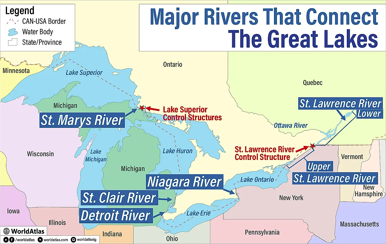
Lake St. Lawrence is the strongest eastern entry in the ranking. The reservoir was created by the international Moses-Saunders project on the St. Lawrence River, where the United States and Canada operate separate generating facilities. New York Power Authority's Robert Moses plant produced about 6.7 terawatt-hours over the recent year, equal to the electricity used by roughly 647,000 average U.S. homes.
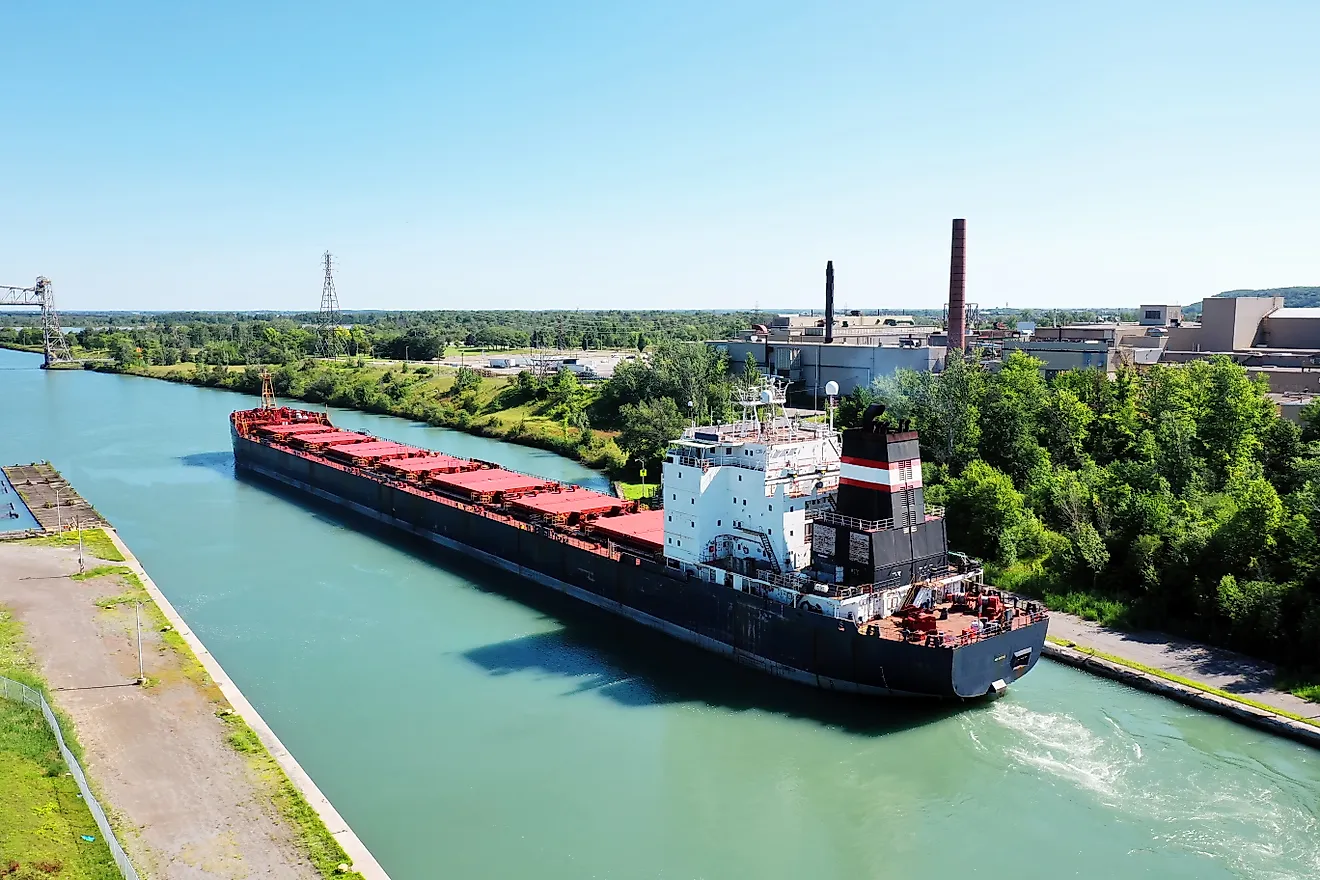
NYPA operates 16 turbine-generators on the American side and lists more than 800 megawatts of generating capability. The reservoir runs about 30 miles through northern New York, with islands, marinas, shipping channels, and public recreation areas spread along its shores. Massive ocean-going vessels also pass nearby through the St. Lawrence Seaway. A visit around Massena gives the clearest sense of how closely hydropower and international navigation overlap here, especially near the power project and the broad river reaches toward the Canadian shore.
Lake Celilo, Oregon and Washington
Lake Celilo feeds The Dalles Dam, one of the Columbia River's largest hydroelectric stations. Recent generation was about 6.5 terawatt-hours, close to the annual electricity use of 628,000 average American homes. The Army Corps lists 22 main turbine units and more than 2,000 megawatts of generating capability.
The reservoir extends 24 miles upstream to John Day Dam. That short distance places The Dalles inside one of the densest stretches of major hydropower infrastructure in the country. Navigation locks, fish ladders, irrigation withdrawals, and recreational access all operate within the same river corridor.
Basalt walls rise above stretches of open water east of the Columbia River Gorge, where strong winds are a magnet for windsurfers and kiteboarders. The Dalles waterfront and nearby viewpoints also put visitors close to a river section that carries freight, migrating fish, and enormous volumes of water through a federal power project every day.
Lake Entiat, Washington

Rocky Reach Dam forms Lake Entiat north of Wenatchee, where the Columbia passes through dry hills and orchard country. The plant generated about 6.2 terawatt-hours over the recent year, comparable to the annual electricity use of about 599,000 average homes. Chelan County PUD operates 11 generating units and lists about 1,300 megawatts of nameplate capacity after a long modernization program. Lake Entiat reaches upstream toward Wells Dam, so travelers driving this corridor encounter major hydro projects at surprisingly close intervals. Rocky Reach also has extensive fish-passage infrastructure, including ladders built for salmon and steelhead moving upriver. The best visitor perspective comes from the riverfront grounds near the dam, where the powerhouse, fish facilities, and broad reservoir can all be seen against the stark eastern slopes of the Cascades.
Wanapum Lake, Washington

Wanapum Dam creates a long reservoir through central Washington, six miles downstream of Vantage. Recent annual generation was about 5.3 terawatt-hours, enough to match the yearly electricity use of roughly 512,000 average U.S. homes. Grant County PUD operates ten generating units with about 1,222 megawatts of rated capacity.
Commercial generation began in 1963, and the dam remains part of a closely linked pair with Priest Rapids downstream. The surrounding landscape sets Wanapum Lake apart from the greener reservoirs farther west. Exposed basalt, shrub-steppe, and wide open water fill the views around Vantage. Ginkgo Petrified Forest State Park sits beside the reservoir, adding fossil wood, hiking, and geology to a stop already rich in engineering interest. Boat launches and shoreline access also make it easy to see how large the impounded Columbia becomes behind the dam.
Priest Rapids Lake, Washington

Priest Rapids Lake lies behind Grant County PUD's Priest Rapids Dam, another high-output Columbia River project. The plant generated about 4.9 terawatt-hours over the recent year, equivalent to the annual electricity use of around 473,000 average homes. Its ten generating units provide about 950 megawatts of rated capacity. Construction started in 1956, and the first power came online in 1959. The dam sits downstream of Wanapum, so this stretch of the Columbia produces electricity at two major stations within a relatively short distance. Around the reservoir, dry shrub-steppe, exposed volcanic rock, and sweeping river bends make up some of central Washington's most open scenery. The recreation areas are quieter than those near larger cities, which makes boating, fishing, and shoreline stops especially appealing for travelers following the river south.
Lake Pateros, Washington

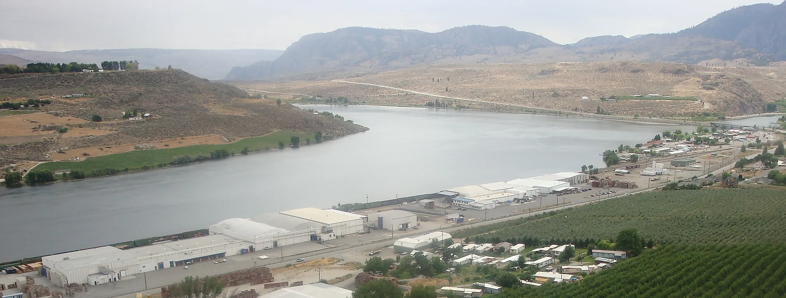
Wells Dam creates Lake Pateros on the Columbia River, about eight miles below the town of Pateros. Recent annual generation was roughly 4.3 terawatt-hours, matching the electricity use of about 415,000 average U.S. homes. Douglas County PUD operates ten units with around 840 megawatts of peaking capacity.
Wells looks different from many big hydro projects because it uses a hydrocombine design. The generating units, spillways, switchyard equipment, and fish-passage facilities are integrated into one compact structure. Commercial operation began in 1967.
The electricity is sold beyond Douglas County to utilities including Puget Sound Energy, Portland General Electric, and Avista. Above the dam, Lake Pateros winds through sunny north-central Washington, bordered by orchards, dry slopes, and steep river hills. Boating and fishing are major draws, while the town of Pateros gives travelers an easy base for exploring the reservoir and nearby Methow Valley.
Lake Bonneville, Oregon and Washington

Bonneville Dam forms Lake Bonneville at the western end of the Columbia River Gorge. Recent annual generation was about 4.1 terawatt-hours, enough to match the electricity use of roughly 396,000 average homes. The Army Corps lists more than 1,200 megawatts of generating capability across two powerhouses. The original powerhouse and spillway were completed in 1938, and a second powerhouse was added decades later.
Bonneville is also a National Historic Landmark with visitor facilities on both sides of the river. Fish viewing windows, hatchery grounds, visitor centers, and close-up views of the dam sit within easy reach at the stop. The surrounding gorge holds waterfalls, forested cliffs, and the Historic Columbia River Highway nearby. Visitors can watch salmon pass through fish ladders, then continue to viewpoints along the Historic Columbia River Highway above the gorge.
How The Ranking Holds Together
One river carries almost the entire list. Nine of these ten reservoirs sit on the Columbia, and the order tracks how much water reaches each powerhouse and how far it falls there. Grand Coulee leads because it pairs enormous flow with a tall dam and the largest bank of generators in the country, while the run-of-river projects downstream trade storage for a steady, high-volume push through their turbines. Lake St. Lawrence is the reminder that the pattern is about physics rather than geography: put a comparable flow through a comparable head anywhere, as the Moses-Saunders project does on the border with Canada, and the generation follows. Read the ranking that way and the home-equivalent figures stop being trivia. They measure how much of that moving water each site actually converts into electricity over a full year.