How Many Rivers Drain Into the Great Lakes?
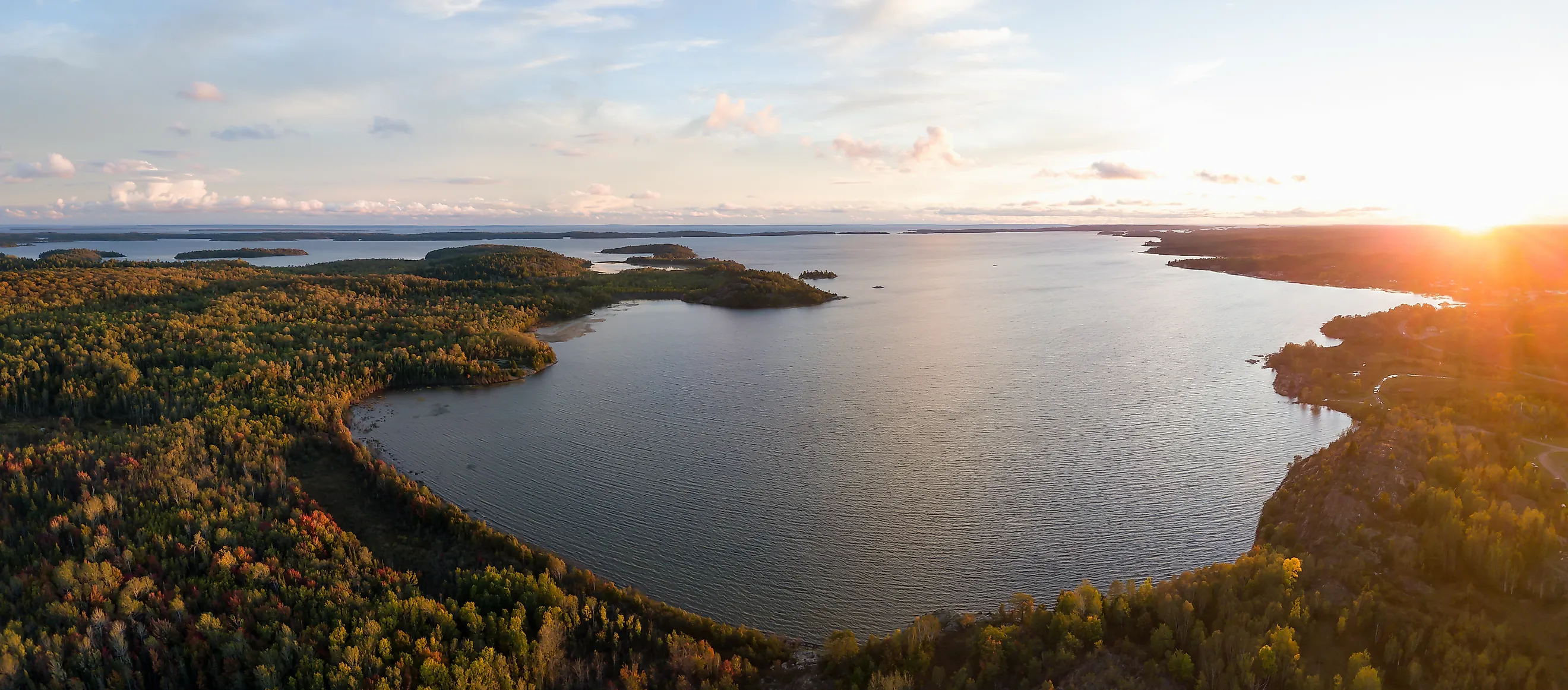
The Great Lakes consists of five interconnected freshwater lakes: Superior, Michigan, Huron, Erie, and Ontario. Together with its tributaries, this enormous watershed encompasses approximately 201,000 square miles (520,587 square kilometres) of terrain across eight US states and two Canadian provinces. It channels 20 percent of the world's surface freshwater into five interconnected basins. While precipitation contributes directly to these vast lakes, a network of close to 5,000 tributaries continuously sustains the entire system.
These watercourses range from small woodland streams in northern forests to major navigable corridors. Within this massive hydrologic network 18 rivers stand out, selected for their size, ecological significance, or historical prominence.
The Great Lake's Interconnected Watershed

A watershed is any area of land that funnels precipitation down to a single point or body of water. The Great Lakes watershed covers terrain as varied as the iron range of northern Minnesota, the farm fields of Indiana, and the forests of Ontario. Rain that falls on a hillside in Wisconsin and snowmelt from Michigan's Upper Peninsula all move downhill through creeks, into rivers, and eventually into one of the five lakes.
The lakes connect in sequence. Water moves from Lake Superior through the St. Marys River into Lake Huron. Lake Michigan joins via the Straits of Mackinac. From Huron, the flow continues south through the St. Clair River, across shallow Lake St. Clair, and through the Detroit River into Lake Erie. It flows north through the Niagara River into Lake Ontario before exiting through the St. Lawrence River to the Atlantic. A drop of water entering at Duluth, Minnesota travels roughly 2,342 miles (3,769 kilometers) and loses about 600 feet (183 meters) of elevation before reaching the ocean.
Lake Superior: Few Major Rivers, but Enormous Volume

Lake Superior, the largest of the Great Lakes by surface area at 31,700 square miles (82,100 square kilometers), receives water from roughly 200 rivers and streams, though only a handful are major tributaries. The lake's watershed is heavily forested and sparsely populated, so many of its tributaries remain relatively clean, cold, and fast-flowing compared with the larger, slower rivers that feed some of the other Great Lakes.
St. Louis River
The largest US tributary to Lake Superior, the St. Louis River drains 3,634 square miles (9,412 square kilometers) of predominantly forested Minnesota land before emptying into the lake at Duluth. Historically, the lower river has been affected by severe industrial pollution, leading to its designation as a Great Lakes Area of Concern in 1987. Decades of habitat restoration projects have focused on removing contaminated sediment and planting native wild rice fields. The Environmental Protection Agency (EPA) describes its estuary near Duluth as critical habitat for fish spawning and migratory birds. The estuary also serves as an important destination connected to Minnesota's Lake Superior Water Trail network.
Nipigon River
The Nipigon River in Ontario drains Lake Nipigon, the largest lake lying entirely within the province of Ontario and a part of the Great Lakes drainage basin. This makes it one of the more significant inputs to Lake Superior. The Nipigon River is only about 30 miles (48 kilometers) long, but the drainage basin behind it covers nearly 9,800 square miles (25,381 square kilometers) of Canadian Shield wilderness before reaching Superior. The construction of four hydroelectric dams in the 20th century altered the flow of the river. Today, the Ontario Ministry of Natural Resources regulates the water flow through these stations to maintain the necessary water levels and temperatures for native coaster brook trout and lake sturgeon spawning.
Bad River
The Bad River flows through the Bad River Band of the Lake Superior Tribe of Chippewa Indian reservation in Wisconsin, crossing one of the largest wetland complexes in the upper Midwest before entering Chequamegon Bay. The Bad River watershed drains 1,061 square miles (2,748 square kilometers). This drainage feeds into wetlands that are a recognized stopover for migratory waterfowl along the Mississippi Flyway. These wetlands encompass 16,000 acres (6,475 hectares) of coastal wild rice marshes that receive protection as a Wetland of International Importance under the Ramsar Convention.
Ontonagon River
Draining a watershed of 1,350 square miles (3,496 square kilometers), the highlands of Michigan's Upper Peninsula, the Ontonagon River runs through Porcupine Mountains Wilderness State Park before reaching Lake Superior. The park's over 90 miles (145 kilometers) of trails and 60,000 acres (24,281 hectares) make it one of the most intact wilderness landscapes in the Great Lakes region. The river now holds federal National Wild and Scenic River status along portions of its upper reaches, which restricts new dam construction and preserves the waterway for trout fishing and seasonal kayaking.
Lake Michigan: From Industrial Corridors to Vast Coastal Dunes

Lake Michigan's watershed shifts dramatically from dense urban corridors in the south to pine forest and dune country along the northern shore. Its tributaries are numerous, heavily studied, and in many cases actively managed for water quality.
Grand River
At 252 miles (406 kilometers), the Grand is the longest river draining into any of the Great Lakes on the US side. It drains the largest watershed feeding into Lake Michigan from the east, spanning 5,572 square miles (14,431 square kilometers). It passes through the state capital of Lansing before emptying into Lake Michigan at Grand Haven, where a boardwalk runs a mile (1.6 kilometers) upstream along the river from the beach. The Grand Haven Lighthouse has stood at the Grand River's mouth since 1839, and the current pier and lighthouse are listed on the National Register of Historic Places.
St. Joseph River
Draining 4,685 square miles (12,134 square kilometers) and running 206 miles (332 kilometers) through Indiana and Michigan, the St. Joseph enters Lake Michigan near Benton Harbor. The lake's moderating influence on temperatures along this stretch of shoreline produces one of the most productive fruit growing belts in the Midwest. Orchards and vineyards crowd the lakeshore counties around the river's mouth, part of the wider fruit belt that follows Lake Michigan's eastern shore well to the north.
Kalamazoo River
The Kalamazoo begins as a spring-fed pond in Hillsdale County and flows 175 miles (282 kilometers) west before reaching Lake Michigan near Saugatuck. It drains over 2,000 square miles (5,180 square kilometers) of southwest Michigan. The EPA designated a stretch of the lower river as an Area of Concern under the 1987 Great Lakes Water Quality Agreement following decades of industrial contamination from paper mill operations. Restoration work on that corridor has been ongoing since. The river's mouth at Saugatuck sits at the edge of Saugatuck Dunes State Park, where 200-foot (61-meter) sand dunes and 2.5 miles (4 kilometers) of undeveloped Lake Michigan shoreline border the river's final reach.
Muskegon River
One of the more ecologically significant rivers in Michigan, the Muskegon has been the focus of dam removal efforts that have reopened hundreds of miles of spawning habitat for lake-run salmon and steelhead. It drains a massive watershed of 2,350 square miles (6,086 square kilometers). Canoe and kayak routes on the Muskegon run through national forest land in the river's upper reaches, and the restored lower river now supports one of the more consistent salmon fisheries in the eastern Great Lakes.
Lake Huron: A Watershed of Boreal Forest and Agricultural Lands

Lake Huron draws water from two distinct landscapes. The Canadian Shield sends rivers through ancient boreal forest and granite terrain on the lake's eastern side. Michigan's Lower Peninsula drains agricultural and urban land on the western side. The lake contains about 30,000 islands, including Manitoulin Island, which stands as the largest freshwater island in the world.
French River
The French River drains an extensive watershed of 7,370 square miles (19,088 square kilometers) from the Canadian Shield into Georgian Bay, the large semi-enclosed basin on Huron's eastern side. It was a primary route for Indigenous traders and later French voyageurs moving between the Great Lakes and the interior of the continent. Today, it runs through French River Provincial Park in Ontario, where the river cuts through 50 miles (80 kilometers) of Canadian Shield rock and connects a chain of lakes popular with canoeists retracing those historic routes.
Severn River
The Severn drains a watershed of 2,350 square miles (6,086 square kilometers) into Georgian Bay through a landscape of boreal forest and Canadian Shield lakes. It forms the northern terminus of the Trent-Severn Waterway, a 240-miles (386-kilometer) navigable route connecting Lake Ontario to Georgian Bay through 44 locks. It remains one of the most popular recreational boating corridors in Canada. The river flows over granite formations and feeds into coastal marshes that provide habitat for protected wildlife, including the Blanding's turtle and the Eastern Massasauga rattlesnake.
Au Sable River
The Au Sable flows through pine and hardwood forest, draining a basin of 1,930 square miles (4,999 square kilometers) before reaching Lake Huron near Oscoda. The US Forest Service manages a 23-miles (37-kilometer) stretch as the Au Sable National Scenic River. The Highbanks River Trail follows the bluffs above the lower river, with views stretching toward Lake Huron. The river hosts the annual AuSable River Canoe Marathon, a 120-mile (193-kilometer) overnight race that starts in Grayling, ends in Oscoda, and has run since 1947.
Saginaw River
The Saginaw is less a single river than a convergence. The Tittabawassee, Shiawassee, Flint, and Cass rivers come together to form the Saginaw River, which drains into Saginaw Bay. They collectively cover roughly 6,000 square miles (15,540 kilometers) of Michigan's Lower Peninsula. The EPA's Saginaw Bay Area of Concern spans the full river and bay system, making it one of the more closely monitored restoration sites in the Great Lakes basin.
Lake Erie

Lake Erie is the shallowest of the five lakes and drains the most intensively farmed watershed in the system. The EPA and other agencies frequently identify it as the most nutrient-stressed Great Lake, particularly in its western basin, due to agricultural runoff and urban impacts. Its tributaries are shorter than those feeding Superior or Michigan, but carry a proportionally heavier load of agricultural runoff.
Maumee River
The Maumee drains part of Ohio, Indiana, and Michigan before reaching Lake Erie at Toledo, making it the largest watershed of any tributary flowing into the Great Lakes basin at 8,316 square miles (21,540 square kilometers). The United States Geological Survey (USGS) identifies dissolved phosphorus from the Maumee as one of the key drivers of harmful algal blooms in Lake Erie's western basin each summer.
Ohio's H2Ohio Initiative has enrolled more than 1.85 million acres (748,668 hectares) of farmland in nutrient reduction programs within the watershed. This kept 420,000 pounds (190,509 kilograms) of phosphorus out of state waterways in 2024 alone.
Cuyahoga River
The Cuyahoga drains 813 square miles (2,106 square kilometers), entering Lake Erie at Cleveland through Cuyahoga Valley National Park, which recorded nearly 2.86 million visits in 2023. The river's recovery since the passage of the Clean Water Act in 1972 has been significant enough that it now supports a functioning fishery through the Cuyahoga Valley National Park stretch of the corridor. This recovered portion of the river runs 22 miles (35.4 kilometers) between Cleveland and Akron.
Sandusky River
The Sandusky runs 133 miles (214 kilometers) and drains 1,425 square miles (3,691 square kilometers) through north-central Ohio into Sandusky Bay on Erie's western shore. Each spring, the river draws one of the largest walleye spawning runs in the Great Lakes basin. The USGS has monitored the river's fish community recovery closely since the removal of the Ballville Dam in Fremont in 2018, which reopened upstream spawning habitat for the first time in over a century.
Thames River
On the Canadian side, the Thames drains 2,249 square miles (5,825 square kilometers) of southwestern Ontario farmland over 170 miles (274 kilometers) before reaching Lake Erie near Chatham. Its Ojibwe name, Deshkaan-ziibi, meaning Antler River, reflects the tribe's connection to the land and watershed that predates European settlements by centuries. Today, the Canadian government identifies it as one of the highest phosphorus contributors among Canadian tributaries in the Lake Erie watershed. It has been the focus of binational restoration work under the Canada-Ontario Lake Erie Action Plan.
Lake Ontario: The Collection Basin of the Great Lakes Chain
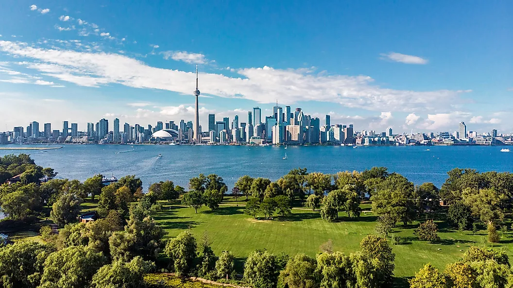
Lake Ontario receives water from its own tributaries and, indirectly, from the entire upper system through the Niagara River. It is the only Great Lake that receives the full outflow of all upstream lakes in the chain.
Genesee River
The Genesee River flows 157 miles (253 kilometers) north, draining 2,500 square miles (6,475 square kilometers) of western New York before reaching Lake Ontario at Rochester. Along the way, it passes through Letchworth State Park, where the river has carved a 17-mile (27-kilometer) gorge with cliffs reaching 600 feet (183 meters). It drops over three named waterfalls, the Upper, Middle, and Lower Falls. Readers voted it the best state park in the nation in the USA Today Readers' Choice Awards in 2015. The park's 66 miles (106 kilometers) of trails, whitewater rafting on the river, and the restored Glen Iris Inn make the Genesee corridor one of the more complete natural destinations in the eastern US.
Trent River
On the Canadian side, the Trent River completes the Trent-Severn Waterway before entering the Bay of Quinte on Ontario's northern shore. The river drains a 4,800 square mile (12,432 square kilometer) basin composed of agricultural lands, wetlands, and interconnected lakes in central Ontario. The waterway is one of Canada's most popular recreational boating routes, stretching 240 miles (386 kilometers) from Lake Ontario to Georgian Bay and passing through 44 locks. It is also one of the few navigable river corridors connecting the two largest Great Lakes.
The Rivers Behind the Great Lakes
The conditions of the Great Lakes at any given moment reflect the decisions made across thousands of square miles of watershed, most of it far from shore. Phosphorus applied to a field in Indiana moves into the Maumee, into Lake Erie, and into the drinking water of communities along the western basin. A dam removed on the Muskegon reopens spawning habitat that lake-run fish have not reached in over a century. A stretch of the Au Sable protected as a national scenic river stays cold enough for trout because the forest around it has stayed intact. The 5,000 tributaries feeding this system are not background geography. They are the mechanism through which the lakes stay alive, and the first place where their health is either protected or lost.


