How Many Americans Live Within A Mile Of A Lake?
Tens of millions of Americans live within a mile of a lake, close enough to walk to the shore before breakfast. The exact number has never been pinned down, because no federal agency tracks it and the total shifts by millions depending on whether farm ponds and flood-control reservoirs count alongside Lake Michigan. The best official gauge is old: an EPA study built on 1975 data put 70.1 million people within five miles of a publicly owned lake, and it ran low because it skipped the smaller ones. What is clear is where those millions cluster, in the handful of places where dense neighborhoods and long shorelines share the same ground.
Southern Lake Michigan

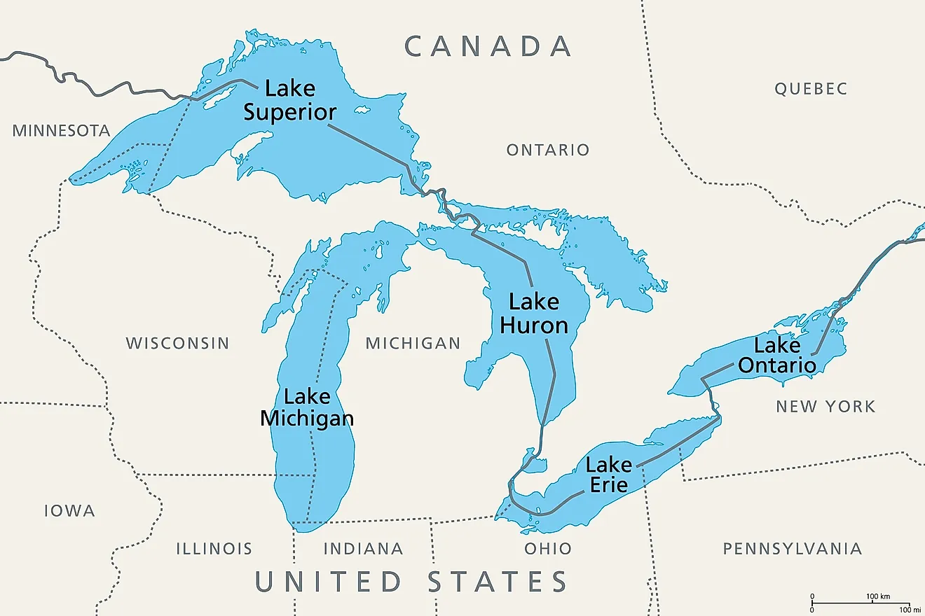
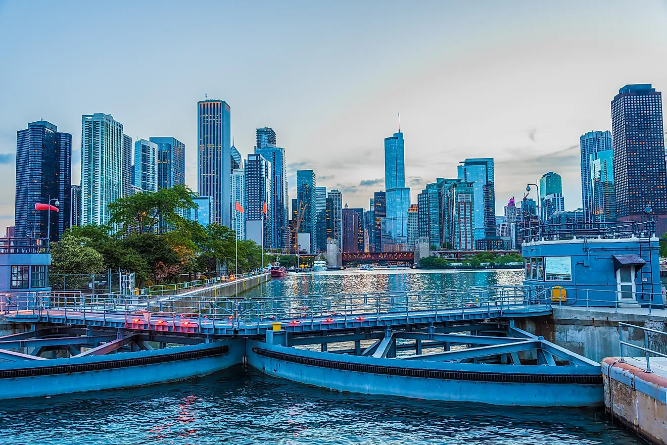
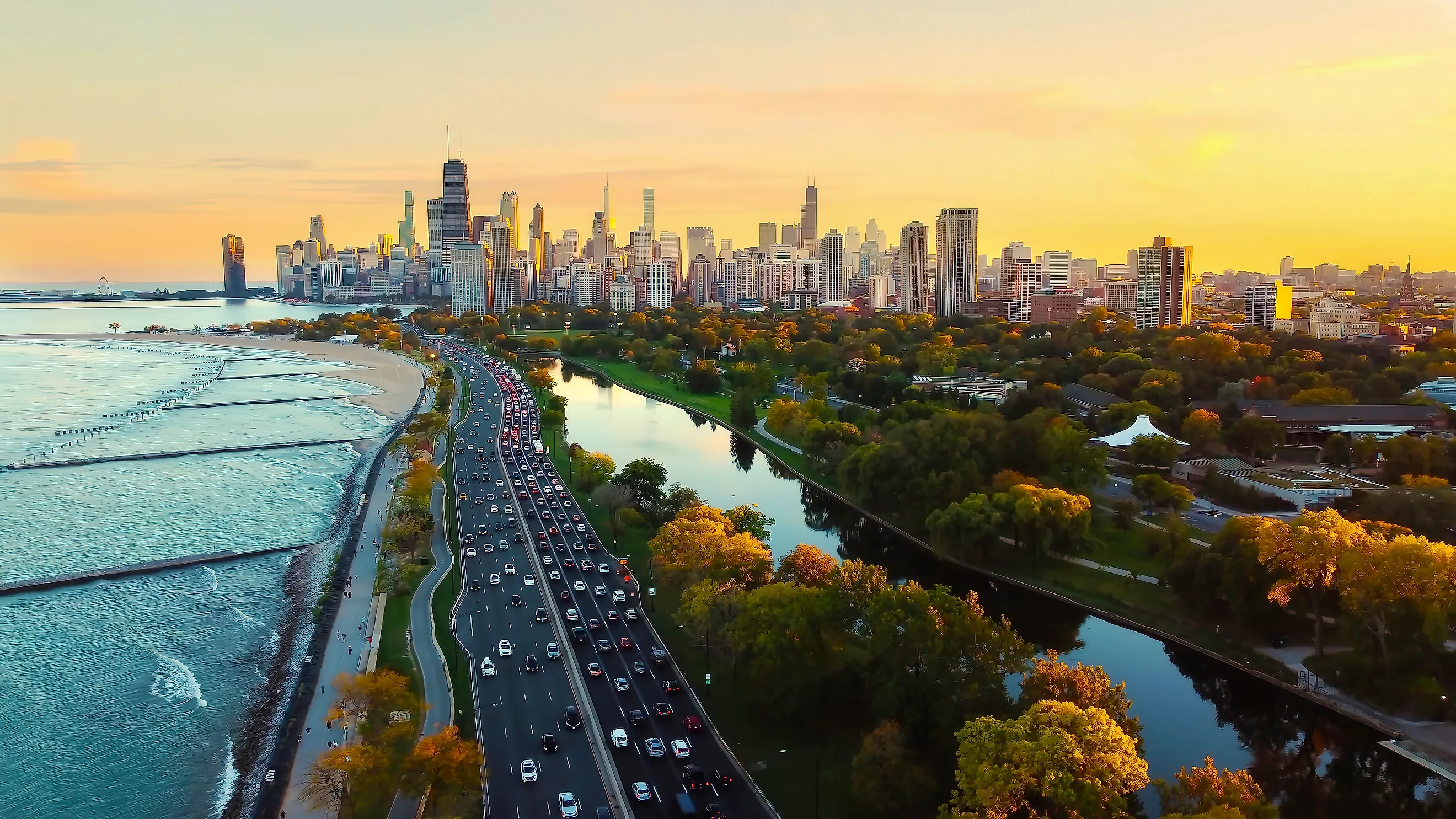
Chicago sits beside one of the largest freshwater lakes on Earth, with millions of residents within reach of the water. The 2020 Census counted 2,746,388 residents within the city, while the Chicago urban area contained 8,671,746 people. Much of that population lies well beyond one mile of Lake Michigan, yet dense neighborhoods occupy long stretches of the shoreline. Rogers Park, Edgewater, Uptown, Lake View, Lincoln Park, Hyde Park, and South Shore all place substantial residential populations close to the water.
The concentration continues north through communities along Illinois' North Shore and into southeastern Wisconsin. Milwaukee had 577,222 residents in 2020, with its downtown and several residential districts facing Lake Michigan. EPA assessments describe southern Lake Michigan as one of the Great Lakes system's most urbanized areas. Any national shoreline analysis that includes the Great Lakes would capture a large continuous band of population here, built up over more than a century of lakeside growth.
Lake Erie and Lake St. Clair

A heavily settled freshwater corridor runs through southeastern Michigan, northern Ohio, western Pennsylvania, and western New York. EPA identifies Lake Erie as the most densely populated of the Great Lakes basins, with roughly one-third of the Great Lakes basin population living inside its watershed. Several major cities stand directly beside its waters. Cleveland had 372,624 residents in the 2020 Census, while Buffalo had 278,349 and Toledo had 270,871. The Detroit urban area, with 3.78 million residents, sits just north of Lake Erie around the Detroit River and Lake St. Clair. Shoreline suburbs are especially extensive around Lake St. Clair, where communities such as St. Clair Shores and Grosse Pointe developed beside the water. Cleveland's lakefront neighborhoods and Buffalo's western edge add more dense settlement. This broad belt would contribute heavily to any one-mile national estimate because population remains high across several separate lakefront metropolitan areas.
Minneapolis and the Twin Cities

Minneapolis has lakes inside the city rather than along a single outer boundary. The Minneapolis Park and Recreation Board manages 22 lakes, several ringed by established residential neighborhoods. Bde Maka Ska, Lake Harriet, Lake of the Isles, Cedar Lake, and Brownie Lake form the well-known Chain of Lakes in the southwestern part of the city.
Minneapolis had 429,954 residents in 2020. Thousands live in neighborhoods beside those lakes, including Linden Hills, East Harriet, Uptown, Kenwood, and Cedar-Isles-Dean. Trails, beaches, parkland, and residential streets often share the same narrow zone around the shoreline.
The wider metropolitan area adds many more lakes. Hennepin County alone contains hundreds of named water bodies, while suburban communities such as Minnetonka spread around irregular shorelines. Lake Minnetonka covers more than 14,000 acres and has roughly 125 miles of shoreline, according to regional watershed authorities. Few large American metropolitan areas hold this much freshwater inside their developed footprint.
Madison and the Yahara Lakes

Downtown Madison occupies a narrow isthmus between Lake Mendota and Lake Monona, placing a remarkable share of the city center close to open water. Madison had 269,840 residents in the 2020 Census, and the population has continued to grow quickly. The Wisconsin state Capitol, the University of Wisconsin-Madison campus, apartment districts, established neighborhoods, and commercial streets all sit near one of the two lakes. Lake Wingra forms another substantial shoreline on the city's southwest side. The local water system continues south through Lakes Waubesa and Kegonsa along the Yahara River. Geography makes Madison especially relevant to a one-mile analysis. In parts of the isthmus, the distance between Mendota and Monona is less than a mile. Entire blocks therefore fall close to both shores. Population density here is modest beside central Chicago, yet the proportion of residents living near a lake could be exceptionally high for a city of Madison's size.
Lake Washington and the Seattle Eastside

Lake Washington covers about 21,500 acres between Seattle and its eastern suburbs. King County describes it as Washington's second-largest natural lake. Seattle, which had 737,015 residents in 2020, lines much of the western shore. Bellevue had another 151,854 residents on the eastern side, and Kirkland had 92,175 farther north.
Residential development reaches the water along both shores. Seattle neighborhoods such as Laurelhurst, Madison Park, Leschi, Mount Baker, and Rainier Beach sit close to Lake Washington. Bellevue and Kirkland have similarly developed waterfront districts, while Mercer Island lies inside the lake with more than 25,000 residents. Lake Sammamish forms another populated freshwater corridor a few miles east. The region is especially useful for separating lake proximity from general coastal proximity. Puget Sound accounts for much of Seattle's maritime identity, but Lake Washington places a separate group of densely settled communities beside inland freshwater.
Central Florida's Lake Country

Central Florida holds so many lakes that water repeatedly interrupts the urban street grid. Orlando city officials count more than 100 lakes inside the city, and about 10 percent of its municipal area consists of water. The city had 307,573 residents in 2020. Neighborhoods surround lakes such as Conway, Ivanhoe, Eola, Baldwin, Underhill, and Fairview, placing homes close to shorelines across many parts of Orlando.
The pattern grows even stronger southwest of Orlando. Lakeland has 38 named lakes within its boundaries. Lake Parker, the largest, covers about 2,272 acres. Winter Haven has roughly 50 lakes within or along its city limits, with several connected through navigable canals.
Polk and Orange counties have also seen strong population growth. Their expanding subdivisions frequently occupy land between existing lakes. A minimum lake-size threshold becomes crucial here because Central Florida holds countless small water bodies. Even a conservative definition would leave a large number of substantial lakes surrounded by populated neighborhoods.
North Texas Reservoir Country

Dallas-Fort Worth demonstrates how much the national answer can change when reservoirs count as lakes. The Census Bureau recorded 5,732,354 people in the Dallas-Fort Worth-Arlington urban area in 2020. Large reservoirs surround the metropolitan region, including Lewisville Lake, Grapevine Lake, Lake Ray Hubbard, Lavon Lake, Joe Pool Lake, and Ray Roberts Lake. These water bodies were created for flood control, water supply, and other public purposes, yet many now have heavily developed residential shorelines. Lewisville Lake is a striking example. The U.S. Army Corps of Engineers reports about 233 miles of shoreline at its conservation level. Lewisville, The Colony, Little Elm, and other fast-growing communities occupy land around the reservoir. Lake Ray Hubbard reaches the eastern edge of Dallas and borders Garland, Rowlett, Rockwall, and Heath. Excluding reservoirs would remove much of this population from a lake-proximity study, even though millions of North Texans live in a metropolitan landscape shaped by large inland water bodies.
What the Map Would Show
No single figure closes the question, because the honest answer depends on where the line for a lake is drawn and whether reservoirs are counted. What the regional evidence does show is where the count would concentrate. The Great Lakes shorelines through Chicago, Milwaukee, Cleveland, Buffalo, and Detroit would supply the largest continuous bands of lakeside population. Interior lake cities such as Minneapolis, Madison, and Seattle would raise the proportion of residents near water even where their totals are smaller. Central Florida and North Texas show how a threshold decision on small lakes and man-made reservoirs could move the national number by millions in either direction. Until someone runs the full shoreline-and-Census overlay, the tens of millions in the 1975 five-mile benchmark remain the closest thing to a floor.