The Wettest National Forest In America
Water is not just a feature of Tongass National Forest, it is a force that almost totally defines the local landscape. This enormous Southeastern Alaskan forest, with its salmon-filled streams, glaciers, and moss-covered terrain, exists under weather patterns that can dump literal feet of precipitation on the region each year. But Tongass is more than a place to measure insane amounts of rainfall. Its remote geography creates many opportunities for seeing unique wildlife, awe-inspiring coastal scenery, and embarking on some of Alaska's most distinctive outdoor experiences. Top-notch bear-viewing platforms, glacier-fed waterways, and isolated fjords all make it so that visiting Tongass means a chance to experience a record-setting national forest where water plays a big role in nearly everything you see.
The Geography of the Forest

Tongass National Forest covers roughly 16.7 million acres across Southeast Alaska, making it the largest national forest in the United States as well as the wettest. But rather than forming one continuous block of land, this expansive woodland stretches across a complex region of islands, fjords, coastal mountains, and narrow mainland strips on the Pacific Coast.
Much of it lies within the Alexander Archipelago, including large islands such as Admiralty, Baranof, Chichagof, and Prince of Wales. The Coast Mountains then rise along the eastern edge of the forest, while steep valleys and glacially carved waterways cut through the interior.
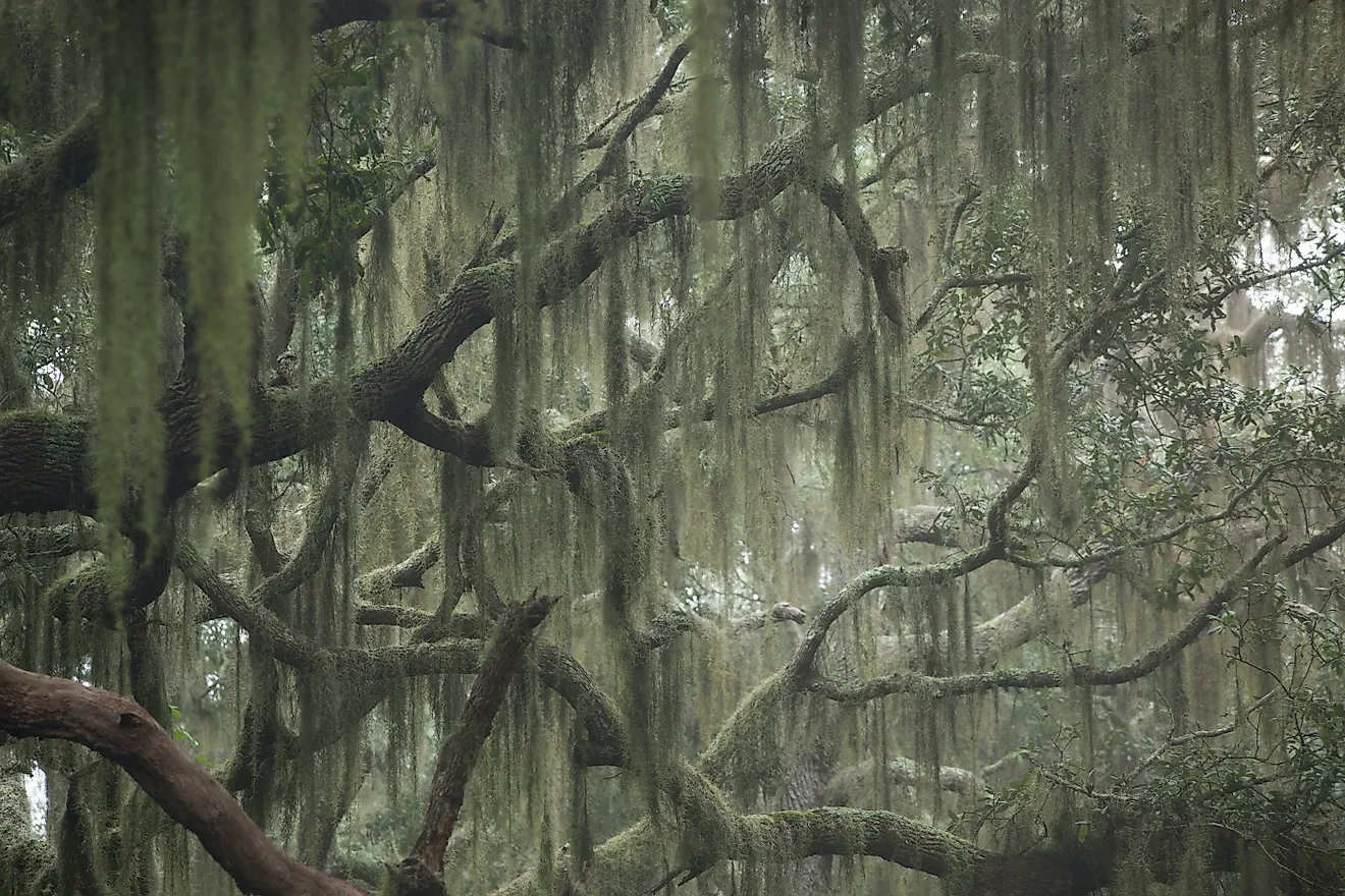
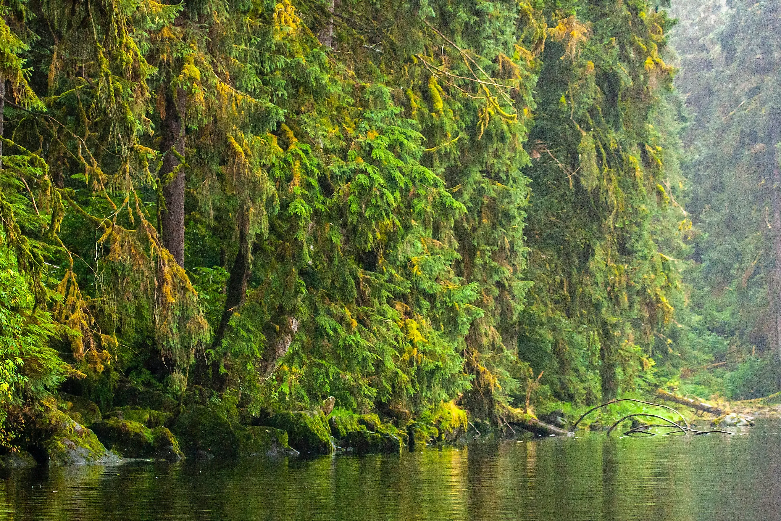
Tongass also contains extensive temperate rainforest, muskegs, alpine areas, rivers, and more than 11,000 miles (17,703 km) of shoreline. Glaciers remain an important part of its geography, too, particularly in the northern sections near the Stikine and Juneau Icefields.
Why Does It Rain So Much in Tongass?

Tongass receives enormous amounts of precipitation because of its position directly in the path of moist Pacific Ocean air. Storms moving eastward across the Gulf of Alaska encounter the state's southern mountains, forcing the air upward. As it rises, the air cools and releases moisture as rain or snow, a process known as orographic precipitation. The effect is especially pronounced along the outer coast and higher mountain slopes.
Some locations in and around the forest receive well over 220 inches (5,588 mm) of precipitation annually, while mountain areas can accumulate far more as snow as well. The region's island-and-fjord geography also puts large areas close to the ocean, where moisture is similarly readily available.
And frequent storms keep the supply coming throughout the year, with rainfall varying considerably across the land. However, with the wettest areas being concentrated near exposed coastal mountains, by contrast, somewhat drier conditions are seen farther inland.
A History of this Protected Forestland

The federal protection of this land began in 1902, when President Theodore Roosevelt created the Alexander Archipelago Forest Reserve. Roosevelt proclaimed the separate Tongass National Forest in September 1907, and the two were joined in 1908. The forest has undergone several boundary changes since.
It takes its name from the Tlingit Tongass people, whose traditional homeland includes parts of present-day Southeast Alaska. In fact, indigenous communities have lived throughout the region for thousands of years, relying on its lively forests, rivers, coastal waters, and wildlife for sustenance and travel.
Like many places on the West Coast, the 20th century led to a robust timber industry making the forest a major economic hub, particularly after World War II, when federal policies encouraged large-scale logging and supported numerous pulp mills. Timber development later became the focus of intense environmental and political disputes, and with that, federal protections expanded and contracted repeatedly, including restrictions on road building and logging in roadless areas.
Today, Tongass is managed for multiple uses, including recreation, wildlife habitat, fishing, timber, and access to traditional Indigenous lands and resources.
Top Attractions in Tongass National Forest
This rugged, often rain-soaked woodland is a big draw for some of the most adventurous outdoorsmen. Remote, quiet, and full of natural wonder, here are a handful of the best locales to stop by if you want to really experience this wide-ranging preserve today.
Mendenhall Glacier

Perhaps the most standout draw in Tongass National Forest is Mendenhall Glacier, located about 12 miles (19 km) from downtown Juneau. The glacier stretches for roughly 13 miles (21 km) through the Coast Mountains before reaching Mendenhall Lake.
The Mendenhall Glacier Visitor Center provides viewing areas and access to several trails, including the Nugget Falls Trail and East Glacier Trail. From the lakeshore, you can see the glacier's blue ice framed by steep mountains and forest. Nugget Falls, a 377-ft (115-m) waterfall, is another major attraction nearby. The area also provides opportunities to spot bears, bald eagles, mountain goats, and other wildlife.
Misty Fjords National Monument

Misty Fjords National Monument is another incredibly scenic place within Tongass National Forest, covering more than 2.3 million acres of land and water south of Ketchikan. Its allure centers on the high granite cliffs, deep fjords, waterfalls, glaciers, and densely forested islands that populate the region.
This monument is also largely roadless, so visitors typically experience it by boat, floatplane, or kayak. Whichever mode you choose, Rudyerd Bay is a popular local destination, with towering cliffs rising directly from the water and waterfalls cascading down the rock faces. For a possibly more all-encompassing outing, floatplane tours provide particularly broad views of the fjords and surrounding mountains.
If you love animals, definitely keep an eye out. Wildlife sightings can include bald eagles, various kinds of bears, mountain goats, seals, and whales.
Anan Wildlife Observatory

Anan Wildlife Observatory near Wrangell is one of Tongass National Forest's best places for seeing bears at close range. This observatory overlooks Anan Creek, where pink and chum salmon gather during their summer runs, attracting countless brown and black bears.
A short trail leads from the boat landing through dense rainforest to a covered viewing platform above the creek. Here, you can watch hungry bears fishing, feeding, and moving along the shoreline while eagles often gather nearby for scraps.
Note that access here is limited and typically requires a permit or reservation during the busiest months. Also keep in mind that Anan is accessible by boat or floatplane from Wrangell, making the journey somewhat expensive, but part of the experience nonetheless.
See the Wonders of this Pristine, Rainy Wonderland for Yourself
The best time to visit Tongass National Forest is generally May through September, when longer daylight hours make hiking, boating, wildlife viewing, and sightseeing easier and more convenient. July and August are typically the warmest months, but rain does remain common throughout the summer. Spring and fall bring fewer visitors but near-constant wetter, cooler conditions.
You can find a way to stay in communities such as Juneau, Ketchikan, Sitka, and Wrangell, with hotels, cabins, campgrounds, and Forest Service cabins available in and around the forest. But entry to the forest itself varies considerably, with many remote areas reachable only by boat, floatplane, or ferry, while others have limited road access from nearby communities. Regardless, check weather and transportation schedules before traveling, particularly when visiting remote attractions.
Please also remember that bears are quite common in the area, especially around salmon streams, so any visitors should follow food-storage and wildlife-safety rules. Recreation permits may be required for certain activities or destinations, too, including popular bear-viewing sites.