The Major Deserts Of The United States
Say "desert" and most people picture the same thing: empty sand, blazing sun, nothing alive for miles. The four great deserts of the United States spend their entire existence proving that picture wrong. Together they form the North American Desert, and between them they hold snow-dusted mountains, the oldest trees on Earth, a fish that lives in a single flooded cave, and the hottest air ever measured on the planet. The one thing they share is thirst: each gets less than ten inches of rain in an average year. Everything else, from the plants to the temperature to the very color of the ground, is up for grabs. Here are the Great Basin, Mojave, Sonoran, and Chihuahuan, four very different answers to the same hard question of how to live without water.
Chihuahuan Desert

The Chihuahuan is the biggest desert in North America, and yet it barely counts as an American one. Of its roughly 200,000 square miles, more than 90 percent sit south of the border, which is why it loses the "largest in the US" title despite winning the continental crown. On the American side it reaches up through southern Texas and New Mexico and just clips a corner of southeastern Arizona before rolling south into Mexico's central highlands, hemmed in by the Sierra Madre Occidental on the west and the Sierra Madre Oriental on the east. Cutting through the middle of it all is the Rio Grande, roughly 1,900 miles of river that, together with scattered springs and creeks, keeps the whole system alive.
Do not mistake all that dryness for emptiness. The Chihuahuan packs in more cactus species than any desert on the continent and stands as one of the most biologically rich, and most threatened, arid regions on Earth, squeezed by development and groundwater pumping. The best of the American slice is protected inside Big Bend National Park, where the Texas desert folds into river canyons and the Chisos Mountains across more than 800,000 acres. Come in spring and the same ground that looks lifeless in July erupts with agave stalks and blooming yucca.
Great Basin Desert

The title the Chihuahuan cannot claim belongs here. At about 190,000 square miles sitting entirely inside the country, the Great Basin is the largest desert in the United States, and it does not look like a desert at all. It fills most of Nevada and spills into California, Idaho, Utah, and Oregon, boxed in by the Sierra Nevada on the west and the Wasatch and Rocky Mountains on the east, with the Snake River Plain closing it off to the north and the Mojave marking its southern edge. Tour its eastern reaches at Great Basin National Park in Nevada, where the desert climbs straight into alpine country.
Here is the twist: the Great Basin is a "cold" desert, and much of its meager moisture arrives as snow. Blame geography. Its high latitude and higher altitude, mostly 4,000 to 6,500 feet, keep it chilly, while the Sierra Nevada and Cascade Mountains wring the Pacific storms dry before they ever arrive, the "rain shadow" that starves the land below.

That harshness grows the desert's most astonishing resident: the Great Basin bristlecone pine, a tree that treats millennia as a working timeframe. The most famous of them, a Nevada bristlecone nicknamed Prometheus, was found to be at least 4,862 years old, and possibly older than 5,000, when it was cut down in 1964, making it the oldest single living thing ever recorded. These trees were already ancient when the pyramids were young.
Mojave Desert

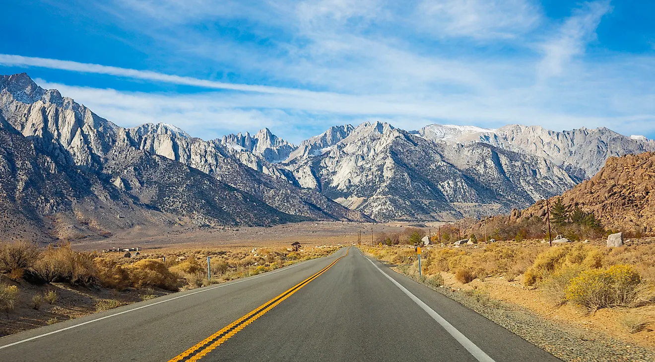
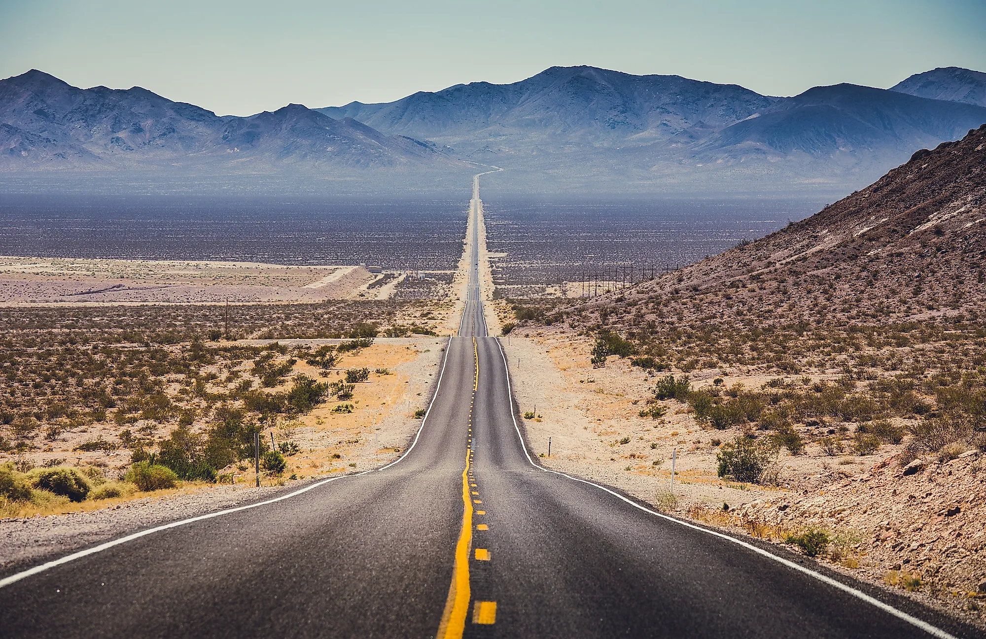
The smallest of the four punches so far above its weight it holds a world record. At roughly 25,000 square miles across California, Nevada, Utah, and Arizona, the Mojave is the runt of the litter and also the hottest desert in North America. It works as a transition zone, wedged between the cold Great Basin to the north and the subtropical Sonoran to the south, running from the Sierra Nevada in the west to the Colorado Plateau in the east. And it swings wildly: from the 11,049-foot summit of Telescope Peak down to Badwater Basin in Death Valley, at 282 feet below sea level the lowest point in North America.

That basin is where the Mojave earns its fame. Death Valley is the hottest, driest place on the continent, and on July 10, 1913, Furnace Creek logged 134 degrees Fahrenheit, still the highest air temperature ever reliably recorded anywhere on Earth. Protected across Death Valley National Park, Joshua Tree National Park, and the Mojave National Preserve, the desert shelters bighorn sheep, mountain lions, black-tailed jackrabbits, and desert tortoises, plus the Devils Hole pupfish, an inch-long survivor that lives in exactly one water-filled cavern and nowhere else on the planet. Overseeing it all is the Joshua tree, the spiky signature species that anchors this entire ecosystem.
Sonoran Desert

If the other three deserts are about scarcity, the Sonoran is about abundance. Covering roughly 100,000 square miles across southwestern Arizona, southeastern California, and the Mexican states of Baja California, Baja California Sur, and Sonora, it is the most biologically diverse of the four US deserts by a wide margin. The tally is staggering for a place defined by dryness: around 2,000 native plants, 350 birds, 100 reptiles, 60 mammals, 30 native fish, and 20 amphibians. The secret is water on a schedule, two separate rainy seasons, winter and summer, that this subtropical desert alone enjoys, fed further by the Colorado and Gila Rivers threading through it.
This is saguaro country, the towering, many-armed cactus that grows wild nowhere else on Earth and can live two centuries. Down in the Sonoran's Mexican reaches lies the Gran Desierto de Altar, the only active sand-sea dune field on the continent, a stretch so stark it has stood in for other planets on film.

But the Sonoran's very hospitality is now its problem: those mild, sunny winters keep drawing new residents, and the sprawl of houses and roads is steadily crowding the plants and animals that spent millions of years learning to thrive where almost nothing else can.
Four Deserts, One Lesson
Line them up and no two are alike. The Chihuahuan runs on a single great river, the Great Basin trades sand for snow and grows trees older than history, the Mojave crams the continent's high heat record and lowest ground into one small package, and the Sonoran turns two rainy seasons into a riot of life. What they share is not scenery but strategy, the countless ways plants and animals have found to make a home where water almost never comes. They are not the barren voids of the popular imagination. They are some of the most inventive landscapes on the planet, and every one of them is worth protecting long enough for the next visitor to be surprised.