The Counties That Cover The Most Wilderness
A county usually brings to mind a courthouse, roads, a few towns, and maybe some farmland stretching between them. But in parts of the American West and Alaska, a county can be so vast that civilization seems gone. North Slope Borough, for example, covers more than 88,000 square miles, an area larger than the state of Minnesota, yet only about 10,000 people live there. In California, more than 90 percent of Inyo County's land is publicly or federally owned, and part of that carries formal Wilderness designation.
The two are not the same thing. Federal ownership covers ground that can hold roads, mines, grazing leases, and military ranges. Wilderness designated by Congress under the 1964 Wilderness Act rules out permanent roads, structures, and motor vehicles. These are a handful of counties where the map tells a different story. One where the mountains, desert, rivers, and frozen landscape occupy more space than the people do.
North Slope, Alaska

In Alaska, the local government equivalent of a county is called a borough, and North Slope Borough is both the largest and one of the most unusual. Covering more than 88,000 square miles and reaching above the Arctic Circle, it is comparable in size to a large US state, yet its population is only around 10,000. The Arctic edge imposes limits from permafrost, extreme winters, short growing seasons, limited transportation, and a lack of conventional agricultural conditions making settlement difficult.
Outside the communities and any area that has industrial activity, there are considerable portions of tundra, treeless ground underlain by permafrost, along with wetlands, mountains, and coastal plains. The county contains some of America's most significant wildlife habitat for caribou, marine mammals and migratory birds.
Two federal units cover much of that habitat, and they are governed very differently. The Arctic National Wildlife Refuge holds the largest block of designated Wilderness in the refuge system, about 8 million acres set aside under the Alaska National Interest Lands Conservation Act of 1980, though the coastal plain was left out of that designation and remains open to oil and gas leasing. The National Petroleum Reserve-Alaska (NPR-A) contains no designated Wilderness at all. The Bureau of Land Management manages it for petroleum development, with Special Areas set aside for wildlife inside a reserve created for that purpose.
San Bernardino County, California

San Bernardino County is enormous by any standard, covering approximately 20,100 square miles. It is the largest county in the contiguous United States, and bigger than several states. However, its size can be misleading. While the county includes major population centers like the heavily developed Inland Empire, much of the rest extends across the Mojave Desert and into rugged mountain country.
About 80 percent of San Bernardino County is public land, with much of it managed by the federal government. That figure counts public ownership rather than designated Wilderness, which covers a much smaller share. The Bureau of Land Management oversees millions of acres open to grazing, mining claims, and vehicle routes, while other tracts are managed for conservation and large ranges are held by the military.
In addition, the Mojave National Preserve encompasses more than 1.5 million acres and includes dunes, volcanic mountains, dry lakes, Joshua tree forests, and broad desert basins. The California Desert Protection Act of 1994 designated 695,200 acres inside that preserve as the Mojave Wilderness, close to half of the preserve but a little over five percent of the county. The Death Valley Wilderness reaches south into the county as well, since the park straddles the Inyo line. The county is a contradiction as one of California's most populous counties, but also one of its most open landscapes.
Inyo County, California

At about 10,000 square miles, Inyo is only about half the size of San Bernardino County, but more than 90 percent of its land is publicly or federally owned. Part of that public land carries the strictest protection the federal government offers. The county holds portions of several congressionally designated Wilderness areas, among them the Death Valley Wilderness and the John Muir Wilderness.
Inyo's geography is astonishing if you consider it in a vertical range, with the popular Mount Whitney at 14,505 feet, the highest elevation in the contiguous United States. Less than 100 miles away is the Death Valley floor, which holds the hottest day on Earth at 134°F. Then there is Badwater Basin at 282 feet below sea level, the lowest point in North America.
Because of these vertical extremes, water is scarce, agriculture is limited, and large portions of the terrain are inhospitable to development. Death Valley National Park, Inyo National Forest, and BLM holdings account for most of that public ownership. The same 1994 act then converted large parts of it into designated Wilderness, which is a stricter standard than public ownership alone.
Idaho County, Idaho

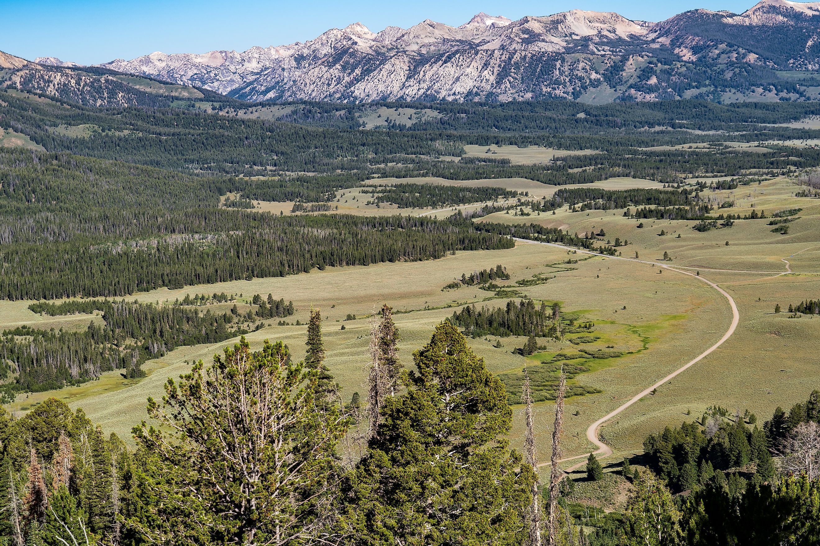
Idaho County is the largest county in Idaho, covering around 8,485 square miles, with about 84 percent of its land owned by the federal government. Much of it is deep mountain country, heavily forested, and difficult to reach, and a large share of that federal land carries Wilderness designation as the Frank Church-River of No Return and the Selway-Bitterroot. The Frank Church Wilderness spans more than 2.3 million acres, and the Salmon River cuts deeply through the mountains, forming steep canyons and ridges that can rise thousands of feet above the river. Roads are scarce, and few easy routes cut through the mountains, making some sections accessible only by trail, river, or air.
While logging and mining reshaped much of the surrounding West, the deepest canyons and most broken mountain country remained difficult to reach and even harder to develop. The Wilderness Act of 1964 eventually formalized much of that protection, turning geographic isolation into legal status. Wolves, mountain lions, and other wildlife can occupy territories for hundreds of square miles. The Salmon and Selway river systems continue through forests and canyons with little human interaction.
The Bigger Picture

In a country increasingly defined by what has been built, these are places defined by what has not. What connects them is the sheer scale, large enough for wildlife to move across uninterrupted habitat, and for fire, drought, snow, and erosion to continue their work largely beyond any human control. San Bernardino stretches from the edge of one of the country's largest metropolitan regions into the expansive wild Mojave. At the same time, Inyo holds a vertical range from high up Mount Whitney to below sea level. The county line may be invisible on the ground, but beyond the last road and the last cluster of buildings, everything changes. Most of that ground is federally owned rather than designated Wilderness, and the difference decides what can still be built on it. There is less infrastructure, more distance, and an immense amount of land following its own rules.