The National Forests With The Most Dangerous Terrain
National forests can look deceptively inviting, with peaceful trails that can quickly turn steep, rocky, and remote. Unlike many developed recreation areas, national forests like White River and Flathead often cover enormous stretches of wilderness where roads, signs, and cell service can disappear quickly. The danger isn't that these forests are inherently unsafe; rather, it's that the terrain found at places like the Maroon Bells can be unforgiving when weather changes, navigation fails, or a simple mistake turns serious.
White River National Forest, Colorado

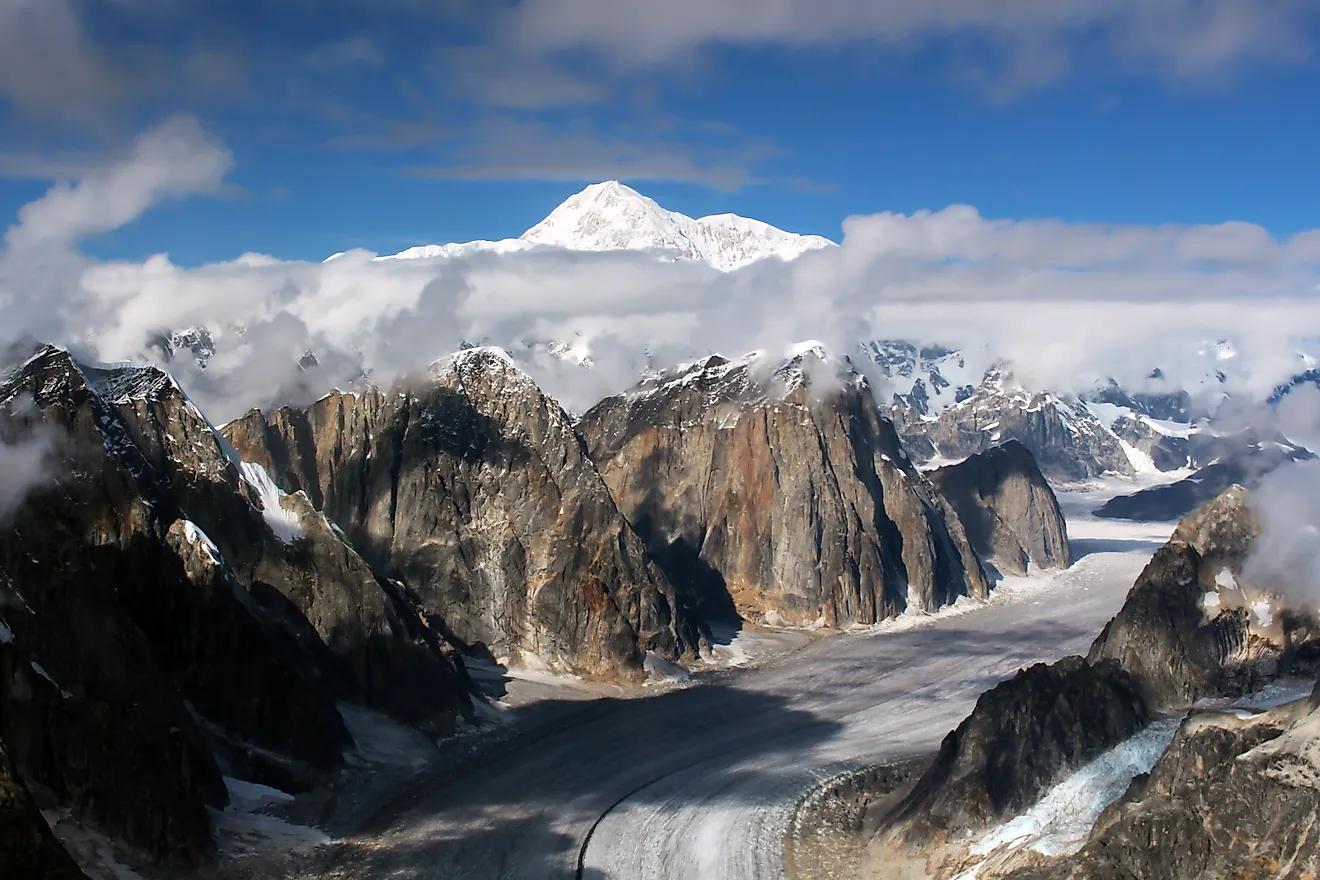
The famous mountain landscapes of Colorado's White River National Forest consist of vast wilderness areas and several fourteeners, peaks that reach elevations over 14,000 feet. These include the Pyramid Peak, Maroon Peak, and North Maroon Peak (Maroon Bells). The Maroon Bells are among the most notable peaks in the state, but the surrounding terrain is far more difficult than the postcard views suggest.

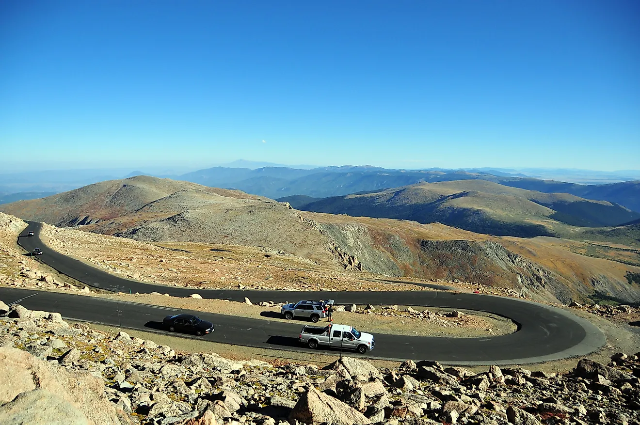
The Bells are notorious because some of the rock is fractured and unstable, particularly with the mudstone and shale around the peaks, which break apart unexpectedly. Climbers may find themselves navigating loose ledges where a misplaced foot can send rocks tumbling downhill. Altitude is another problem. Above 14,000 feet, the air contains considerably less oxygen, and strenuous mountaineering becomes far more exhausting. Weather can also change rapidly. A sunny morning can give way to sudden afternoon thunderstorms, hail, or lightning, leaving you exposed and vulnerable.
Flathead National Forest, Montana

Flathead National Forest covers roughly 2.4 million acres in northwestern Montana, with a massive landscape of mountains, forests, lakes, rivers, and wilderness. It also borders Glacier National Park and contains remote areas such as the Great Bear Wilderness. Distance can become a serious factor when visitors venture farther into the remote areas. Dense forests and rugged mountains can make navigation difficult, while isolated trails may take hours to reach even for experienced rescuers. Getting lost is especially threatening across such a large area, since you can travel deep into the wilderness before realizing how difficult it is to find a way back to the route.

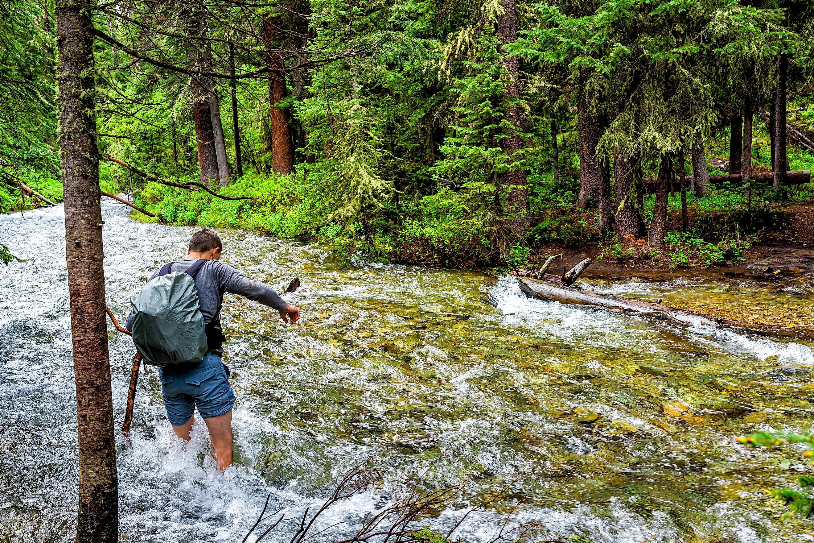
Water is another alarming hazard, especially along the Middle Fork and North Fork of the Flathead River. The mountain streams there can run cold and fast, particularly during spring and early summer when snowmelt increases. A crossing that looks manageable from the trail can become much more challenging after heavy rain or rapid warming. Wildlife is also a concern, with Flathead as prime grizzly bear country, so visitors may encounter them while hiking, camping, or traveling through dense vegetation. This doesn't mean bear encounters are inevitable, but it means you need to understand how to travel safely in their habitat.
Bridger-Teton National Forest, Wyoming

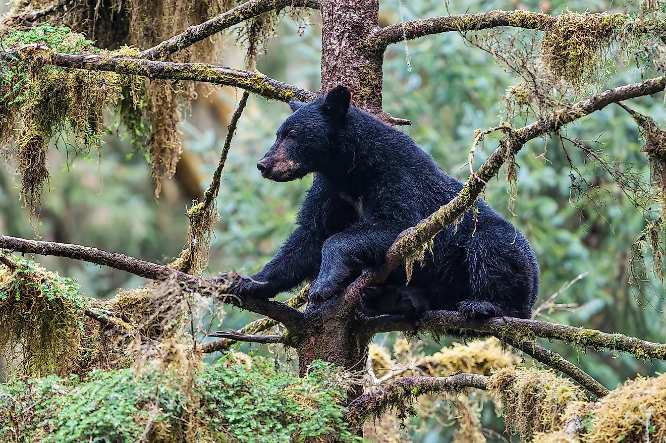
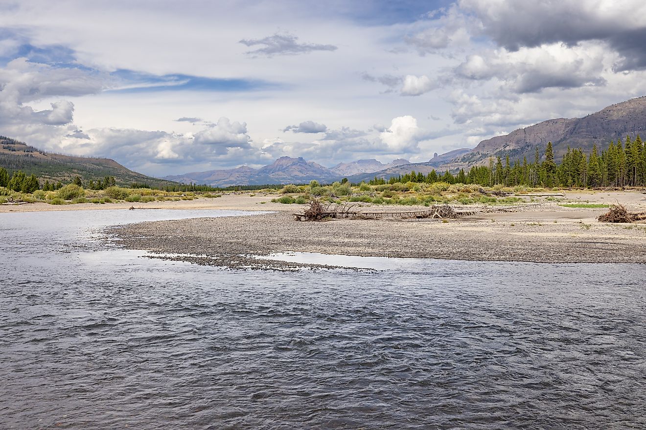
Millions of visitors come to Bridger-Teton National Forest each year for its dramatic scenery, which spans parts of the Wind River Range and the Tetons. What you may not realize is that its over 3 million acres of high alpine peaks, unpredictable weather, and abundant wildlife can make the forest especially dangerous to explore. Some routes involve steep climbs, exposed ridges, large boulder fields, and difficult-to-find routes. Bridger-Teton also sits among the Greater Yellowstone Ecosystem, meaning hikers may encounter grizzly bears, black bears, moose, and other wildlife. Because it's such a massive landscape, the combination of injury, bad weather, and distance can quickly turn a minor problem into a major emergency.

River crossings along the Wind River Range and the Teton Wilderness can also become treacherous during periods of heavy snowmelt, when a stream that appears calm gets fast and cold quickly. Even during summer, high elevations can experience freezing temperatures, snow, or sudden storms. Someone who begins a long hike in warm weather may not be prepared for the extreme colder temperatures they encounter higher up.
Inyo National Forest, California

Located on the eastern side of the Sierra Nevada, Inyo National Forest has a startling range of landscapes. It spans a landscape ranging from dry desert valleys to high alpine mountains, including the area around Mount Whitney, the tallest peak in the contiguous United States. That dramatic elevation change is one of Inyo's biggest obstacles. Visitors can begin in a hot, dry environment and eventually find themselves thousands of feet higher in thin, cold air, which can result in altitude sickness. Headaches, nausea, dizziness, and fatigue can happen at higher elevations, with ordinary physical exertion becoming alarmingly difficult.
The terrain along the John Muir and Ansel Adams wilderness areas can be specifically demanding, with granite slopes, rugged ridges, steep passes, and rocky scrambles that leave little to no room for mistakes. There might not be any trees to provide shade or shelter, and the sudden intense sunlight at high elevations can accelerate dehydration. Snow and freezing temperatures are possible even if conditions lower down feel comfortable, and for someone traveling unfamiliar high-country terrain, poor visibility from rain or sudden snow can make routes considerably harder to find.
Don't Let the Scenery Fool You
National forests aren't dangerous simply because they're wild. In fact, that untamed quality is often what makes them worth exploring. The trouble starts when visitors read striking scenery as a sign that the terrain will be easy, or when they assume help is always close by. The best way to explore these places is to respect the landscape before stepping into it. Check the weather, know your route, and carry enough food and water. Out in the wild, a little preparation can make all the difference.