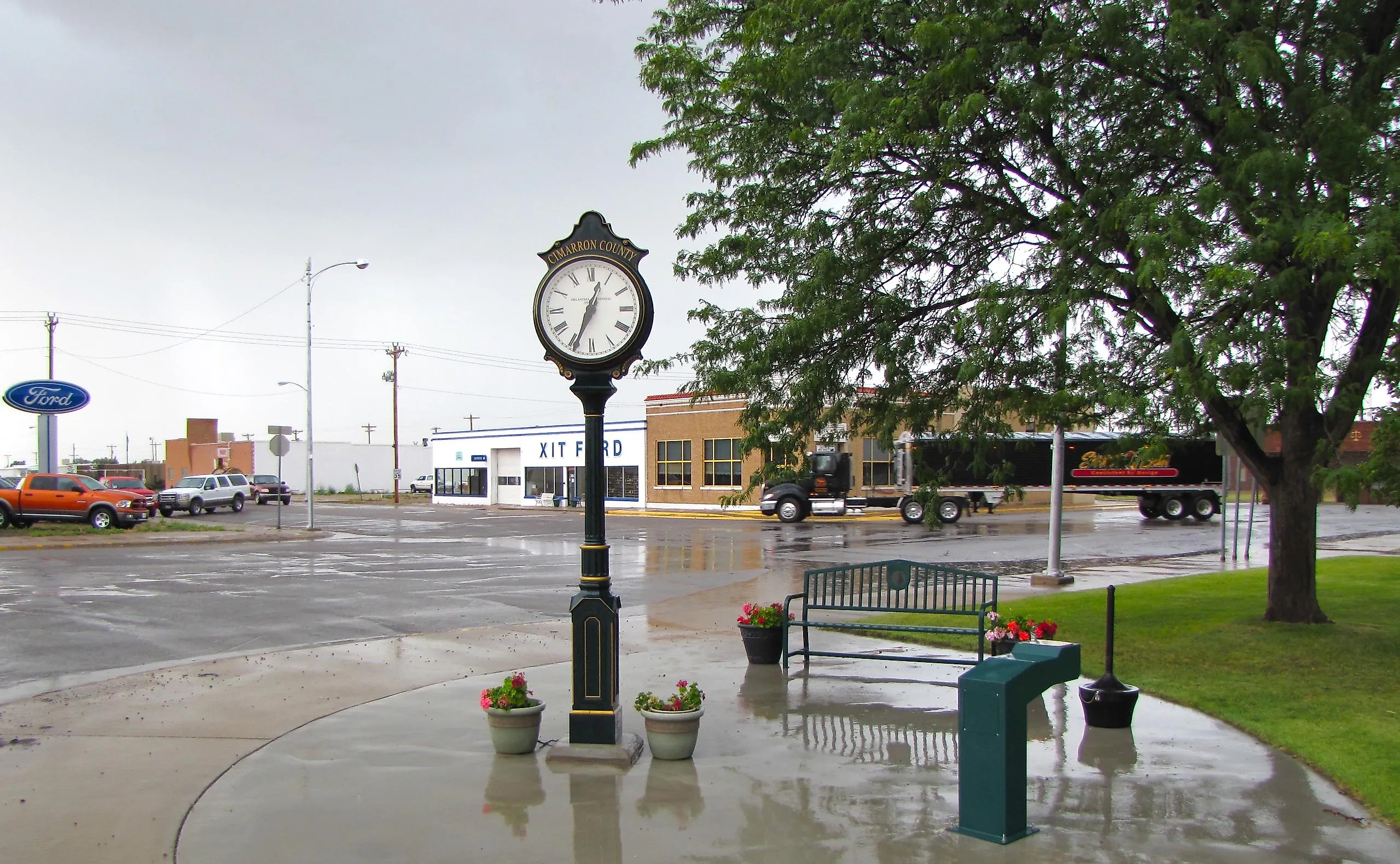
The Counties That Border The Most States
From within a single county, you can walk the borders of four different states. Believe it or not, we're not talking about the iconic Four Corners, which is merely a shared border point. The geographic oddity in question is found in Cimarron County, Oklahoma, where the county boundary reaches Colorado, New Mexico, Kansas, and Texas. No other U.S. county shares a stretch of border with as many states. In this case, a county must share an actual stretch of boundary with a state to qualify, leaving a mere seven counties which border three states.
The Only County With Four State Borders

Cimarron County occupies the far western end of the Oklahoma Panhandle, where its boundaries meet four other states. Colorado lies along its northern edge, New Mexico borders it to the west, and Texas wraps around its southern and southeastern sides. A small 0.8-mile section of the county also reaches Kansas at its northeastern corner. Together, these borders make Cimarron County the U.S. county that borders the most states.
The four borders vary considerably in length. The county shares about 53 miles with Colorado, 34 miles with New Mexico, and 54 miles with Texas. The Kansas connection, by comparison, is a little more than a sliver at roughly 0.8 miles. These borders largely follow the straight survey lines characteristic of the Oklahoma Panhandle.
Cimarron’s unusual structure is marked by three separate tri-state junctions along its borders. The Preston Monument marks the point where Oklahoma, Colorado, and New Mexico meet. Further south, the Texhomex Corner marks the junction of Oklahoma, New Mexico, and Texas, while the Eight-Mile Corner marks the Colorado-Kansas-Oklahoma connection.
Counties That Border Three States

Cimarron County stands alone with four state borders, but seven other counties come close by sharing boundaries with three states. They are spread across the Northeast, Mid-Atlantic, and Southwest, with each county having measurable stretches of shared state lines. Together, these counties show how unusual borders can arise without relying on a single point of contact.
For this configuration, a county must share a non-zero length of boundary with each state it borders. A point where state lines simply meet does not qualify as a border, so a county cannot be counted merely because it is diagonally across from a neighboring state. This distinction is especially important in the Southwest, where the Four Corners region sits. Since they do not share a boundary length, the Four Corners and similar areas elsewhere do not qualify.
Berkshire County, Massachusetts

Berkshire County occupies the western edge of Massachusetts, where its boundaries reach three neighboring states. Vermont borders the county to the north, New York stretches along its western edge, and Connecticut meets its southern boundary. The county shares about 12 miles of boundary with Vermont, 50 miles with New York, and 22 miles with Connecticut.
At the county’s southwestern corner, Massachusetts, Connecticut, and New York meet near Mount Frissell. A boundary marker in the area marks the meeting point of the three states, while a separate marker in the Taconic Range marks the meeting of Massachusetts, Vermont, and New York.
Worcester County, Massachusetts

Worcester County reaches three states despite lying in central Massachusetts. New Hampshire borders its northern edge, while Connecticut and Rhode Island meet its southern side. The county shares roughly 20 miles of boundary with New Hampshire, about 18 miles with Connecticut, and 16 miles with Rhode Island. As the largest Massachusetts county by land area, Worcester County has room for these three state borders to extend across its northern and southern edges.
Worcester County features a tangible marker of this three-state arrangement in the southwestern corner of the county within Douglas State Forest. A granite monument marks the point where Massachusetts, Connecticut, and Rhode Island meet, a short way from the Southern New England Trunkline Trail.
New Castle County, Delaware

New Castle sits in the northern part of Delaware, where it borders Pennsylvania to the north and Maryland along its western side, while the Delaware River places New Jersey across its eastern boundary. The county’s northern border with Pennsylvania is especially unusual because part of it follows the Twelve-Mile Circle, a circular arc centered on New Castle. Farther west, the Maryland boundary meets Pennsylvania and Delaware at a marked tri-state junction in the White Clay Creek Preserve.
The intersection of Delaware, Maryland, and Pennsylvania is marked in the White Clay Creek Preserve with a stone pillar. Farther east, the Arc Corner Monument marks the transition between Pennsylvania’s straight southern boundary and Delaware’s circular arc. The unusual shape of these borders reflects boundary disputes that continued for centuries.
Washington County, Maryland

Washington County sits on a narrow stretch of western Maryland between Pennsylvania and West Virginia, with Virginia also reaching a short section of its southeastern edge. Pennsylvania borders the county along the Mason-Dixon Line to the north, while the Potomac River forms much of its southern boundary with West Virginia. The county also shares roughly 2.5 miles of boundary with Virginia near its southeastern end.
Harpers Ferry lies nearby, where the Potomac and Shenandoah Rivers meet. From The Point in Harpers Ferry National Historical Park, visitors can look across Maryland, Virginia, and West Virginia. However, the river confluence is not itself the exact three-state junction. The Maryland-Virginia-West Virginia tripoint lies nearby along the Potomac at the low-water mark and is not marked by a prominent stone monument.
Mohave County, Arizona

Mohave County occupies the northwestern corner of Arizona, stretching between Utah to the north and California and Nevada to the west. Its Utah boundary follows the state’s northern edge, while the Colorado River forms much of the western boundary with Nevada and California. The county shares roughly 84 miles of border with Utah, about 208 miles with Nevada, and 64 miles with California.
The Colorado River is especially important to the county’s three-state configuration. Arizona’s legal boundary description follows the river along portions of the Nevada and California state lines, passing through Lake Mead and Lake Mohave before continuing south toward the Bill Williams River. Mohave County features an Arizona-Nevada-Utah tripoint near the Beaver Dam Wash National Conservation Area, featuring a red sandstone monument where the boundaries meet. At the opposite end of the county, the Arizona-California-Nevada tripoint lies in the Colorado River, about 130 feet from shore, rather than at an onshore monument.
Union County, New Mexico

Union County reaches three states from the northeastern corner of New Mexico, sharing boundaries with Colorado to the north, Oklahoma to the east, and Texas along its southeastern edge. Union County shares about 56 miles with Colorado, 34 miles with Oklahoma, and 55 miles with Texas. The county’s eastern side is especially unusual because two separate three-state junctions occur along the border.
The northern junction is marked by the Preston Marker, a stone survey monument known as a trifinium. The southern junction is the previously mentioned Texhomex tripoint and sits east of Clayton. This meeting point is marked by a U.S. General Land Office survey disc. These points are separated by roughly 35 miles, creating the county’s eastern border.
Baca County, Colorado

Baca County forms the southeastern corner of Colorado, with New Mexico and Oklahoma along its southern boundary and Kansas along its eastern edge. Its border with New Mexico stretches about 4.6 miles, the Oklahoma section is roughly 53 miles, and the Kansas connection is about 45 miles.
At the county’s southwestern corner, the Colorado-New Mexico-Oklahoma boundaries meet at the aforementioned Preston Monument. At the opposite end of the county is another previously mentioned monument, the Eight-Mile Corner. This Colorado-Kansas-Oklahoma tripoint marks the southeastern corner of Colorado and joins Baca County to Morton County, Kansas, and Cimarron County, Oklahoma.
A Closer Look At The Lines
A map of the United States can make state borders look permanent and inevitable, but they are the product of surveys, legislation, treaties, compromises, and decisions made long before modern mapping technology existed. Even small surveying errors or lands shaped by boundary disputes have become part of the accepted map. In the current system, a single county can share substantial boundaries with several states without having an especially irregular shape. That makes these counties reminders that the American map is more than a collection of simple shapes.