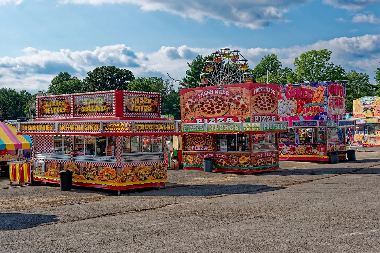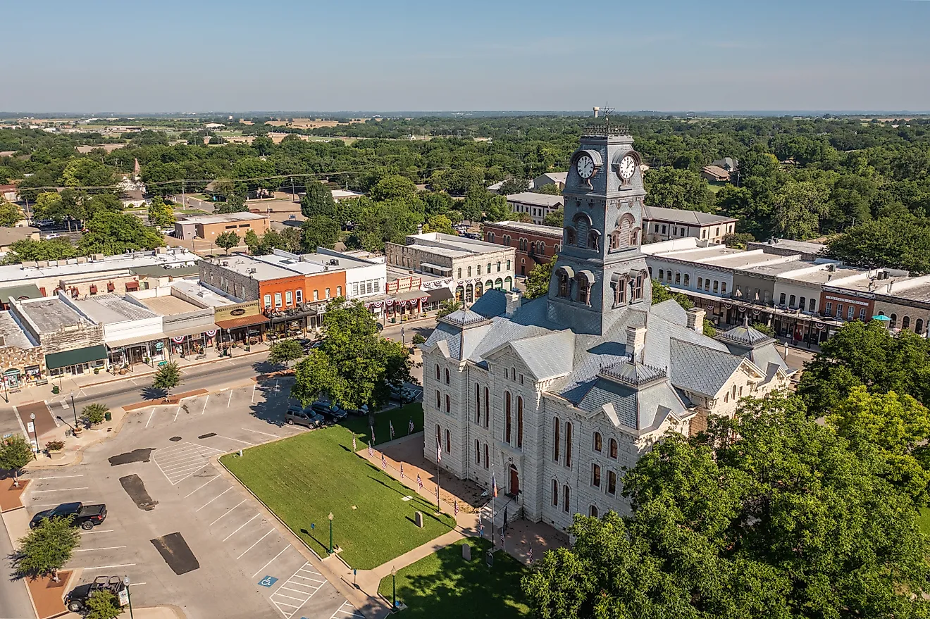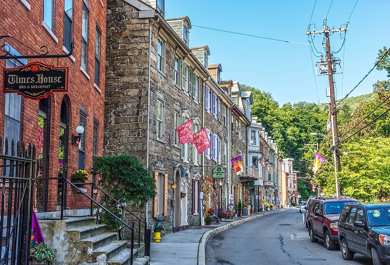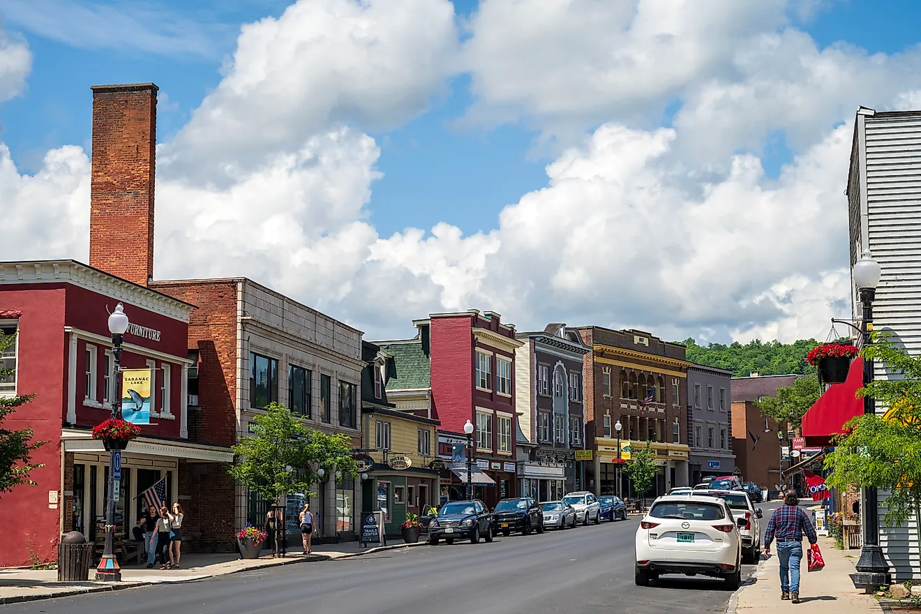
11 United States Towns With A Slower Pace Of Life
Mount Katahdin throws its shadow over Millinocket every afternoon. That single peak shapes how the whole town moves. The same goes for ten other places across the country where a mountain calls the shots. Twisp sits quiet where two rivers meet in the Methow Valley. Dunsmuir wakes up to waterfalls off the Upper Sacramento River. Paonia counts time by farm stands below the West Elk range. These eleven US towns trade traffic and noise for granite spires and trout streams. Steep country keeps them small and unhurried. The mountains decide the speed here.
Twisp, Washington

Twisp is a small mountain town in the Methow Valley, near the eastern edge of the Cascade Mountains. The town sits where the Methow and Twisp rivers meet, giving it a quieter, more local feel than some of Washington’s better-known mountain getaways. Walk through the compact downtown to browse galleries, small shops, and seasonal market stalls, or stop at TwispWorks, a creative campus filled with artists, makers, nonprofits, and local businesses. The Methow Valley Interpretive Center shares stories of the Methow People, the valley’s natural history, and the landscape that continues to shape the region. Beyond town, the surrounding Methow Valley opens into trails, rivers, forests, and wide mountain views that invite visitors to slow down without feeling crowded.
Dunsmuir, California

Farther south in California, Dunsmuir rests along the Upper Sacramento River in the Shasta Cascade region. The town is small, wooded, and shaped by the steep mountain country around Mount Shasta and Castle Crags. Hedge Creek Falls is an easy stop close to town, where a short trail leads through the trees to a misty waterfall tucked into the hillside. Castle Crags State Park sits just south of Dunsmuir, with forested trails, river access, and views of jagged granite spires rising above the Sacramento River canyon. Back in town, Dunsmuir Botanical Gardens offers a quiet place to walk among native plants, shaded paths, and river scenery before settling into the slower pace of this northern California mountain town.
Whitefish, Montana

Whitefish sits west of Glacier National Park, set against the rolling forested hills that encompass Whitefish Lake. Whitefish Lake State Park is a secluded campground and beach providing direct access to the calm waters of the lake used for boating, swimming, and fishing. Browse the Dick Idol Signature Gallery, observing paintings and sculptures from Western artists that are inspired by the Flathead Valley and northwest Montana. The pace slows in Depot Park, an open green space in downtown Whitefish, to enjoy a quiet family picnic or sit down on the grass and get lost in a book.
Pinedale, Wyoming

The Wind River Range of Wyoming opens up on the horizon of Pinedale. Venture out into the foothills of the mountains to the second-largest natural lake in Wyoming, Fremont Lake. The lake is suitable for many recreational activities, like boating and sailing, fishing, and wildlife viewing. In town, Wind River Brewing Company uses water from Fremont Lake to produce its craft beer. Unwind with a pint and pair it with one of their sandwiches or burgers. Boyd Skinner Park offers a quieter break in town with a fishing pond, picnic areas, a playground, walking paths, and a footbridge over Pine Creek.
Paonia, Colorado

Paonia rests in Colorado’s North Fork Valley, where orchards, vineyards, and quiet streets sit below the West Elk and Ragged mountains. Rather than a resort town built around crowds, Paonia moves at the pace of farm stands, shaded parks, and mountain roads. Paonia State Park lies northeast of town, with a narrow reservoir, picnic areas, camping, and views of steep forested slopes. The North Fork of the Gunnison River adds opportunities for fishing, rafting, and paddling, while nearby routes toward Kebler Pass and the Grand Mesa lead into aspen groves, alpine lakes, and wide-open Western Slope scenery. Back in town, the tree-filled town park and small local shops make Paonia feel relaxed, rooted, and easy to explore without rushing.
Patagonia, Arizona

Patagonia sits in the rolling Sky Islands of southern Arizona. The town is surrounded by grasslands, cottonwood-lined waterways, and distant mountain ridges. Patagonia Lake State Park is a short drive away, offering fishing, boating, camping, and quiet shoreline views. Sonoita Creek State Natural Area adds remote trails and some of the region’s best birding, while the Patagonia-Sonoita Creek Preserve protects rich riparian habitat along one of southern Arizona’s rare streamside corridors. In town, the pace is set by shaded streets, galleries, birders, and the open desert light that gives Patagonia its calm appeal.
Eureka Springs, Arkansas

The streets of Eureka Springs wind up the sides of the Ozark Mountains, where several natural springs are hidden down side streets. Basin Spring Park is the site of the natural spring that was found in the town in the 1800s. It features a fountain fed by the spring and a small band shell that hosts a summer concert series. Turpentine Creek Wildlife Refuge is home to exotic and native big cats that can be observed in a natural habitat just seven miles south of Eureka Springs. Thorncrown Chapel is one of the most recognized landmarks in the Ozarks. Its glass-and-wood design, accented with native stone and steel, allows the chapel to blend into the surrounding forest.
Damascus, Virginia

Flanked by the Blue Ridge Mountains, Damascus is structured around the seven trails that converge within town. Mount Rogers National Recreation Area spans about 200,000 acres around Virginia’s highest peak and offers more than 400 miles of trails through high-elevation forests, expansive meadows, and forested ridges. In 2026, the Virginia Creeper Trail still runs through downtown Damascus, though the upper Damascus-to-Whitetop section remains closed for Hurricane Helene repairs. The Damascus Brewery remains a casual post-trail stop for craft beer, live music, and a relaxed taproom atmosphere.
Lake Placid, New York

Lake Placid sits in the Adirondack Mountains of upstate New York. It continues to celebrate its Winter Olympic heritage. The Lake Placid Olympic Museum contains the second-largest Winter Olympic artifact collection in North America. Visitors will need to take their time to view all of the photographs, equipment, and sports memorabilia. Lake Placid Public Beach is located downtown at the south end of Mirror Lake. It is equipped with tennis courts, a playground, a pier, and a launch site for watercraft. Lake Placid is a basecamp for hiking nearby Whiteface Mountain in Wilmington, New York state’s fifth-highest mountain.
Stowe, Vermont

Stowe is built around the base of Mount Mansfield, the highest mountain in Vermont, which sets the pace for recreation throughout the year. The Gondola Skyride carries visitors near the top of Mount Mansfield, culminating in panoramas of the Green Mountains and valleys below. The hike to Moss Glen Falls is only a five-minute drive from town and takes hikers directly to the base of the highest waterfall in Vermont. The Stowe Bee Bakery and Café utilizes all natural ingredients to produce an array of breakfast and lunch items, beverages, and baked goods.
Millinocket, Maine

Just like Stowe, Millinocket is in the shadow of the highest mountain in Maine, Mount Katahdin. Mount Katahdin is located within Baxter State Park, a 209,644-acre wilderness with more than 220 miles of trails and dozens of mountain peaks. Jerry Pond is easily accessible, bordering the edge of town. The grounds have picnic tables and grills scattered on them, as well as a playground for children. Community life extends to the Boreal Theater, which hosts an array of performances, including live music, dramas, plays, and comedies year-round for residents to enjoy.
Slowing Down in the United States
Many of the slowest-paced towns across the United States are found in the Rocky Mountains, Ozark Mountains, or Appalachian Mountains, where rugged terrain has maintained smaller communities throughout the years by limiting development. With mountain passes, valleys, and distance from major urban areas naturally bringing people to a halt, daily life therefore shifts its focus to the surrounding wilderness. In these United States towns, movement slows not because of design, but because the mountains dictate it.