What Happens If Louisiana Keeps Losing Coast At This Rate
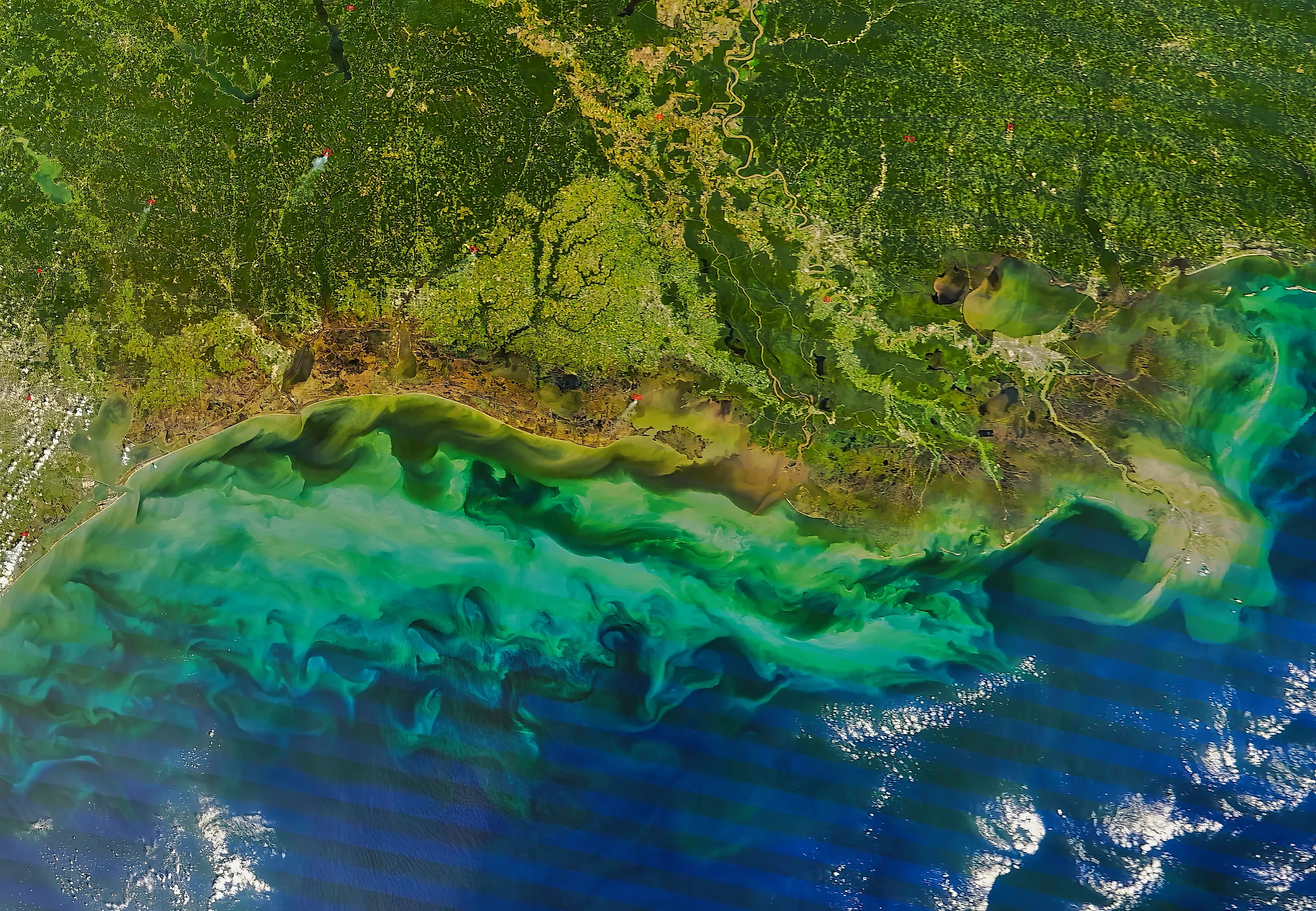
Louisiana lost 2,006 square miles of land between 1932 and 2016, which is roughly the land area of Delaware and about a quarter of all the wetland the state had when the counting started. That works out to an average of nearly 24 square miles a year, and at the current slower rate a piece of coast the size of an American football field disappears every 100 minutes. The useful part of the question is what the phrase at this rate actually means. The rate has already changed twice. And in 2025 the state cancelled the two projects designed to change it again, which makes the answer considerably less hypothetical than it was a year ago.
The Rate Has Already Slowed
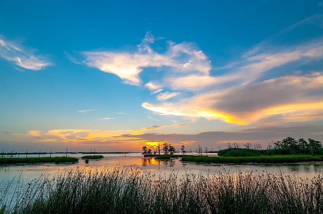
The figure most people remember is a football field every hour. It comes from an earlier USGS calculation and it did enormous work in getting the country's attention.
Updated mapping tells a better story. Across the period of rapid loss the rate was a football field every 34 minutes, but for 2010 to 2016 it had slowed to one every 100 minutes, which is nearly three times slower. USGS attributed that partly to a quieter run of hurricane seasons and partly to restoration projects actually working.
Even at the improved rate that is around 5,250 football fields a year, or roughly 14 a day, every day.
Why The Land Is Going
The headline cause is counterintuitive, because it is not the sea arriving so much as the river being taken away. For thousands of years the Mississippi flooded, spread across its delta and dropped sediment, building new land faster than the old land sank. Levees ended that. The river now runs between walls and carries the eroded topsoil of the Midwest straight past the marshes and out into the Gulf, where it drops into deep water and does nobody any good.
Meanwhile the existing land keeps sinking under its own weight, a process called subsidence, and relative sea level in southeast Louisiana is rising at roughly three feet per century. Land that stops being topped up starts going under.
The Canals Did Enormous Damage
The second cause is more direct and considerably less discussed outside Louisiana. Oil and gas development cut roughly 10,000 miles of canals through the wetlands, each averaging 12 to 15 feet deep and 150 to 500 feet wide. The Interior Department has estimated those canals alone caused the loss of an additional 369,000 acres of coastal land.
The spoil was dumped alongside, creating levees up to 10 feet high and twice as wide, and researchers estimate that canals and their spoil levees eliminated or buried around 8 million acres of wetland. Those banks also block the sheet flow of water and sediment across the marsh during storm tides, so they keep causing damage long after the dredging stops.
What The Projections Say

Estimates for the next fifty years vary widely, and the spread itself is informative. Louisiana's own 2017 Coastal Master Plan put the no-action figure at an additional 2,250 square miles over 50 years, which is 45 square miles a year, almost double the historical average. Published estimates range from 1,207 square miles at the low end to 4,123 at the high end, and the Environmental Defense Fund has used a figure of 4,000.
Take the middle of that range and Louisiana loses another Delaware-and-a-half this century. Take the top of it and the loss over fifty years exceeds everything lost in the previous eighty-four.
Louisiana Is Most Of The National Problem
Two figures put the scale into national context, and both are startling. Louisiana contains roughly 40 percent of the wetlands in the contiguous United States, and it accounts for around 90 percent of the coastal wetland loss. USGS puts it more bluntly still: Louisiana currently experiences greater coastal wetland loss than all other states in the lower 48 combined.
This is not one state's local difficulty. It is the overwhelming majority of a national total.
The Marsh Is The Storm Defense
The practical consequence is not that New Orleans gets a beach. It is that the buffer between the city and the Gulf keeps thinning.
Marsh absorbs storm surge, and open water does not. As wetlands convert to open water, wind gains a longer fetch to build waves across, which both increases surge reaching the levees and accelerates the erosion of whatever marsh is left. The damage compounds.
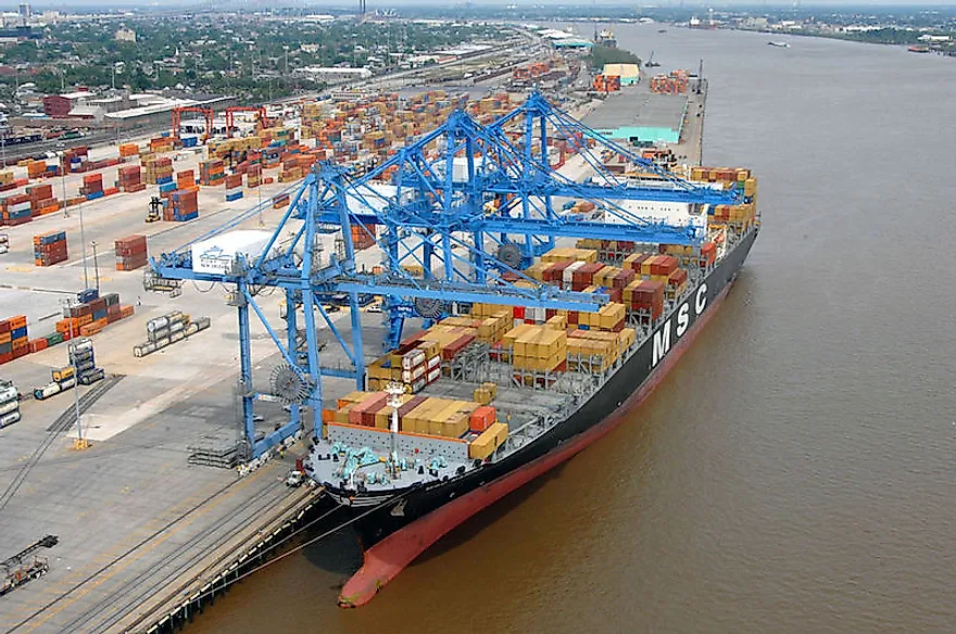
There is a great deal sitting behind that buffer. The Port of New Orleans, the Port of South Louisiana, a large share of American oil and gas infrastructure, the shrimp and oyster fisheries, and about two million people.
The State Just Cancelled Its Biggest Fix
This is the development that makes the question current rather than theoretical. The Mid-Barataria Sediment Diversion was the largest and most expensive land-building project in the Coastal Master Plan, designed to cut a controlled opening in the levee and let the Mississippi deposit sediment into the dying marsh the way it used to. It was expected to build nearly 20 square miles of land over 50 years. It was cancelled in 2025, with about 3 billion dollars from the Deepwater Horizon settlement available and more than 600 million already spent.
In October 2025 the state cancelled the Mid-Breton Sediment Diversion as well, the second of the two major diversions. Critics pointed out that the Master Plan's biggest projects had been scrapped by decision rather than by any revision of the plan itself.
The Objections Were Not Trivial
It is worth stating why the diversions were contested, because the coverage often treats the cancellation as straightforward vandalism and it was not.
Sending large volumes of fresh river water into Barataria Bay would have changed the salinity of water that oyster beds and shrimp grounds depend on. Oyster harvesters, who have worked those waters for generations, stood to lose their grounds to a project justified on fifty-year timescales. Some have argued for smaller diversions instead.
That is a genuine conflict between a long-term landscape problem and a short-term livelihood, and it is the reason this fight took decades.
What The Arithmetic Says

Set the numbers side by side and the scale of the mismatch becomes clear. Mid-Barataria would have built roughly 20 square miles over fifty years. The no-action projection for the same period is around 2,250. The flagship project, in other words, addressed under one percent of the projected loss on its own.
That cuts both ways. It is an argument that cancelling one project does not decide Louisiana's fate, and equally an argument that the state's single most ambitious intervention was never close to sufficient by itself.
What Actually Happens

At the current rate, Louisiana continues converting marsh to open water at somewhere between 24 and 80 square miles a year, the coastline retreats inland, and communities built on the outer bayous reach the point where staying is no longer practical. Some already have.
What does not happen is New Orleans disappearing, because the city sits behind a levee system rebuilt at enormous expense after 2005. The realistic outcome is a city defended by engineering alone, with progressively less natural buffer in front of it, and a hurricane protection bill that rises as the marsh falls.
The honest summary is that the rate is not fixed and never has been. It slowed when hurricanes eased and restoration proceeded, and it responds directly to what gets built. Which makes the question less a forecast than a description of the choices being made right now.