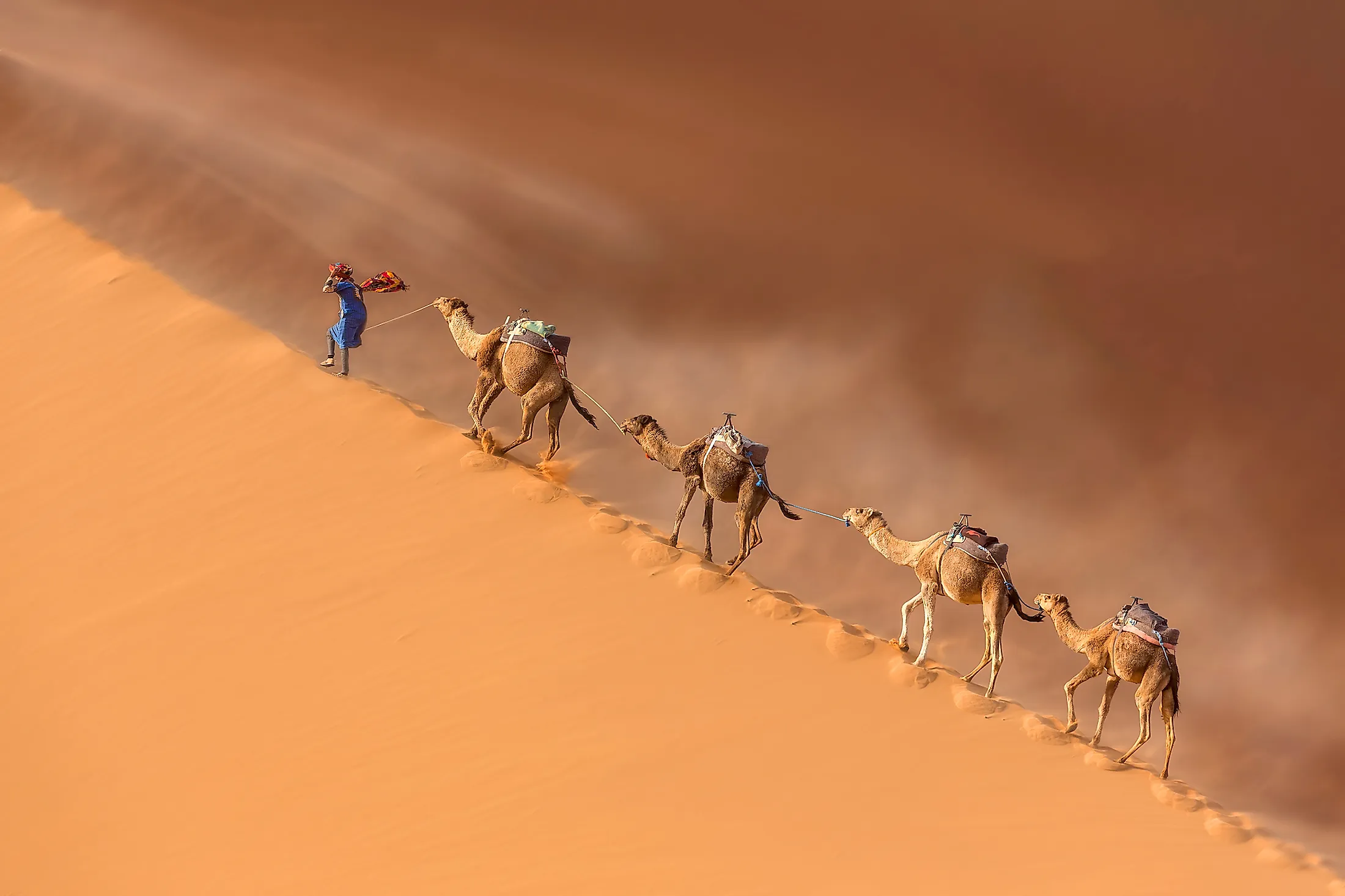
Sahara Desert
Covering a massive area of 9,200,000 sq. km, the Sahara Desert is considered the world’s largest hot desert and the third most extensive desert after the polar deserts of Antarctica and the northern Arctic. The Sahara Desert encompasses a major portion of North Africa, occupying about 31% of the entire African continent.

The Sahara Desert covers vast parts of 11 North African nations including Algeria, Egypt, Mali, Morocco, Western Sahara, Tunisia, Chad, Libya, Mauritania, Niger, and Sudan within its boundaries. The name of the Sahara Desert has been derived from the Arabic word ‘sahra’ which means ‘desert.’
Geography

The expansive Sahara Desert has a length of approximately 4,800km and a maximum width of 1,800km. The desert is bounded by the Mediterranean Sea and the Atlas Mountains on the northern side; the Red Sea on the eastern side; the Atlantic Ocean on the western side and the semiarid Sahel region on the southern side. The Sahel region serves as a transition zone between the hot desert in the north and the humid savannas of Sub-Saharan Africa in the south.

The Sahara Desert includes several topographical features such as hard rocky plateaus, rough mountains, extensive plains covered with sand and gravel, salt flats, sand seas, sand sheets, dry valleys, seasonally filled basins, dry lakes, high dunes, and huge oasis depressions. The dunes in the Sahara Desert reach a height of 183m and cover about 15% of the entire desert area. In addition to this, there are many volcanic massifs in the Sahara Desert including Aïr Mountains, Saharan Atlas, Adrar des Iforas, Ahaggar Mountains, Red Sea Hills, and the Tibesti Mountains. Situated at the extreme southeastern end of the Tibesti Mountains in the northern part of Chad is a shield volcano named Emi Koussi, which rises to an elevation of 3,415m and is the highest point in the Sahara Desert. Located in Egypt, the Qattara Depression is the lowest point in the Sahara Desert, which reaches 133m below sea level.

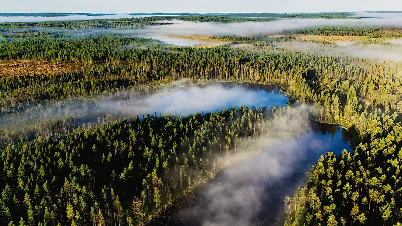
Although water sources are quite rare throughout the entire desert region, there are 2 large rivers and about 20 seasonal lakes and aquifers in the Sahara Desert. The large Nile and Niger rivers along with the seasonal lakes and aquifers provide the main source of water for the major desert oases. The Sahara Desert is further subdivided into many smaller deserts such as the Nubian desert, Tanezrouft desert, Sinai desert, Libyan desert, Tenere desert, etc. Some of the significant African cities that are situated in the Sahara Desert include El Oued in Algeria, Cairo in Egypt, Timbuktu in Mali, Faya-Largeau in Chad, Ghat in Libya, Nouakchott in Mauritania, and Agadez in Niger.
Climate
According to the Köppen climate classification, the vast Sahara Desert experiences a hot desert climate. The sky above the desert region usually remains quite clear and therefore the permanent absence of clouds allows for the unhindered high duration of sunshine over the entire desert area. The high sunshine exposure together with the lack of vegetation and extremely low precipitation makes the Sahara Desert one of the world’s hottest regions. During the hottest months, the average high temperature ranges between 38° to 40°C. The highest temperature in the Sahara Desert was recorded to be around 58°C in Aziziyah, Libya. The nighttime temperature ranges between 13° to 20°C. During winter, temperatures drop below the freezing point at nighttime. The Sahara Desert receives extremely low precipitation with the rainfall being very unreliable and extremely erratic. The annual evaporation rates are relatively much higher ranging from 2,500mm to over 6,000mm in the entire Sahara Desert region.
Ecology

The Sahara Desert contains many ecological regions or ecoregions. These are as follows: The Atlantic Coastal Desert ecoregion covers an area of 39,900 sq. km along the Atlantic coast in the western part of the Sahara Desert. The North Saharan steppe and woodlands ecoregion cover an area of 1,675,300 sq. km along the northern part of the Sahara Desert. The Sahara Desert ecoregion covers an area of 4,639,900 sq. km in the central part of the Sahara Desert. The South Saharan steppe and woodlands ecoregion covers an area of 1,101,700 sq. km and runs from the east to the west direction between the hot Sahara Desert and the humid Sahel savannas. The West Saharan Montane Xeric Woodlands ecoregion covers an area of about 258,100 sq. km and encompasses many volcanic highland areas in the Sahara Desert. The Tibesti-Jebel Uweinat montane xeric woodlands ecoregion covers an area of about 54,000 sq. km in the eastern parts of the Sahara Desert.

As mentioned above, the Sahara Desert experiences extremely harsh climatic conditions, and therefore the desert supports only those plants and animals that can survive in its extremely dry and hot climate. It has been recorded that there are about 2,800 vascular plant species in the Sahara Desert, among which one-quarter of these plants are endemic to the region. More than 500 species of plants are found in the central Sahara area. Some of these significant plants include acacia trees, succulents, Saharan cypress, grasses, Laperrine’s olive tree, date palms, tamarisk, spiny shrubs, desert thyme, etc. These plants have adapted to the arid conditions in the Sahara Desert by growing shorter to avoid the loss of water through the strong winds. Moreover, these plants store water in their thick stems that they can utilize during the dry periods and have also developed long roots that can horizontally travel in search of surface moisture. The plants also have small thick leaves to avoid loss of water through evapotranspiration.

It has been recorded that about 100 reptilian species, 90 avian species, 70 mammalian species, and a wide array of different animal species are found in the Sahara Desert. Some of the major animals that are found in the Sahara Desert include desert foxes, addax antelopes, gazelles, Saharan cheetah, African wild dog, hyrax, deathstalker scorpion, Saharan silver ant, Dromedary camels and goats, sand vipers, monitor lizards, desert crocodiles, etc. Notable avian species like the red-necked ostrich, African silverbill, black-faced firefinch, etc. are also found in the Sahara Desert.
Brief History

Several studies have revealed that since the end of the last glacial period, several people lived along the edge of the Sahara Desert. Archaeologists have discovered numerous petroglyphs in the central part of the Sahara Desert that dates back to several thousand years. The Kiffian civilization was one of the oldest civilizations in the Sahara Desert. After the Kiffians, the region was inhabited by people of several cultures including Tenerians, Tashwinat Mummy, Nubians, etc. Around 6,000 BCE, the Egyptians arrived in the Sahara region and started practicing agriculture and cattle herding. It is believed that during this time the Sahara region used to be lush green and supported a large number of plants and animals. But, approximately about 5,400 years ago, the gradual shift in the Earth’s axis, led to the increase in temperature, decrease in precipitation, and extension of desertification in the Sahara region. From 1200 to 800BCE, the area was occupied by Phoenicians and then in the later years by Greeks, Garamantes, Romans, Berbers, Byzantines, and Ottomans. In the 19th century, the Europeans began to colonize the Sahara region. After the Second World War ended, most of the Saharan states achieved their independence.