How Much Bigger The Great Lakes Were During The Ice Age
The question has two opposite answers and both are correct, which is what makes the glacial history of these lakes more interesting than a simple before-and-after. At their high stands the Great Lakes were vastly larger than today, with Huron, Michigan and Superior merged into one enormous body of water called Lake Algonquin and Lake Ontario standing about 100 feet above its present level. Then, within a couple of thousand years, the same basins dropped so far that Lake Michigan shrank to a narrow lake roughly 100 meters below its modern surface, with dry land where Chicago's harbor now sits. The lakes were not gradually filling toward their present size. They were swinging violently between extremes, and the thing controlling them was not rainfall.
Here is what actually happened, in sequence, and why the outlets mattered far more than the meltwater ever did.
The Ice Was The Dam

The mechanism behind every high stand is the same and it is worth getting straight before the names start. The Laurentide Ice Sheet sat across the northern and eastern edges of the basins, blocking the outlets the water naturally wanted to use.
With the low routes plugged by ice, meltwater ponded until it found whatever gap was available, which was usually a much higher col to the south or west. That is why these lakes stood so far above modern levels and why they drained in directions that now look absurd, toward the Mississippi and the Hudson rather than the St. Lawrence.
Lake Algonquin

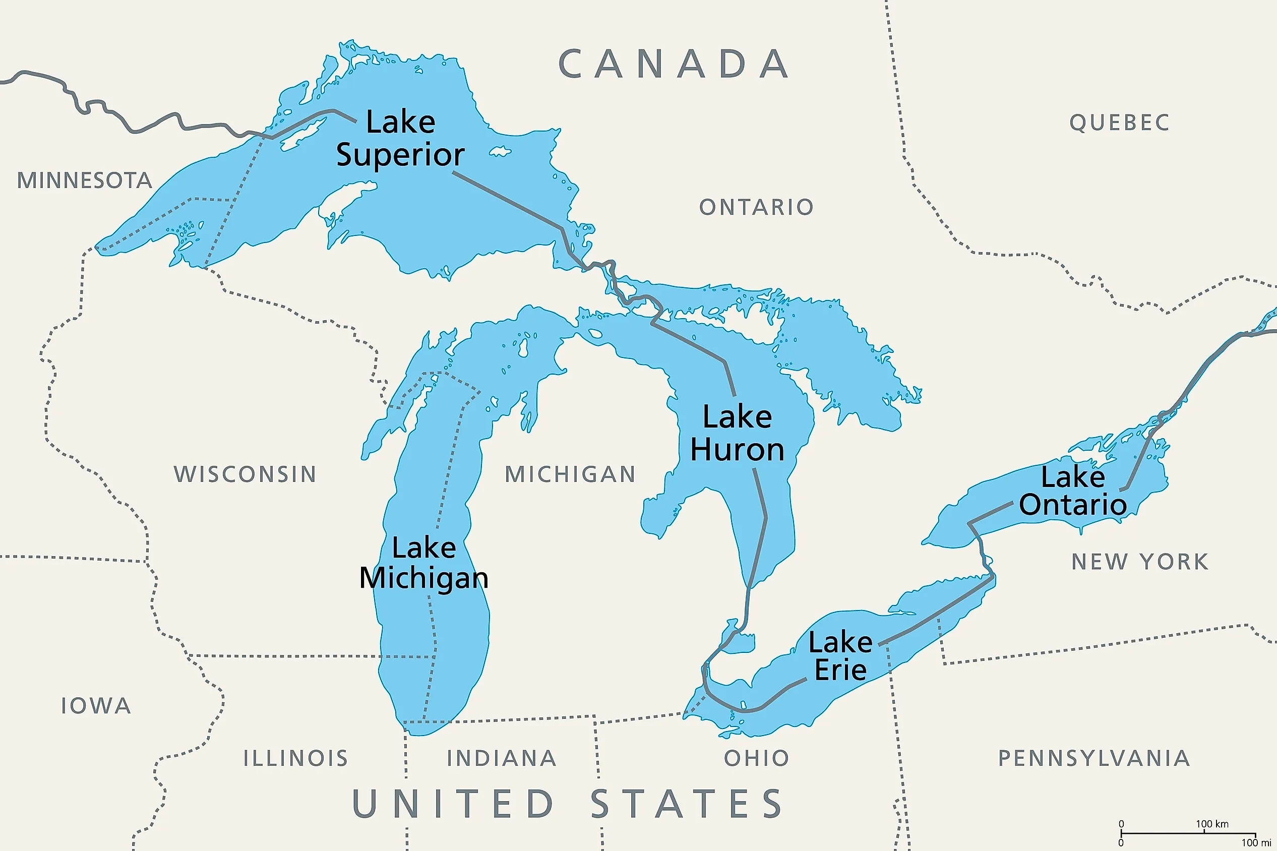
Lake Algonquin was the largest of the high stands and the one that reshaped the middle of the continent. It occupied what are now Lake Huron, Georgian Bay, Lake Michigan, southeastern Lake Superior, Lake Nipigon and Lake Nipissing, all as one connected body of water.
It held high levels from roughly 13,100 to 12,500 years ago, at a surface elevation around 90 meters, and its maximum dimensions ran to something like 940 kilometers in both length and width. It persisted for about 3,000 years.
Its shorelines are still legible on the ground. Well-developed wave-cut bluffs across northern Michigan mark where the beach used to be, in places now many miles from any water and hundreds of feet above it.
Glacial Lake Iroquois

This is the Ontario basin version, and it had the strangest outlet of the lot. About 13,000 years ago the St. Lawrence was blocked by ice near what is now the Thousand Islands, so the lake in the Lake Ontario basin backed up roughly 30 meters, about 100 feet, above the modern surface.
Unable to drain northeast, it went southeast instead, through a channel near present-day Rome, New York, down the Mohawk Valley and into the Hudson. For a while the outflow of the Great Lakes reached the Atlantic through New York City rather than through Quebec.
The Rome Sand Plains, a set of sand ridges in central New York, are thought to be a product of that drainage.
Lake Maumee And Lake Chicago

Stages of great lake development.
The two southern basins did the same thing in their own directions, and the outlets they used are the reason two modern cities sit where they do.
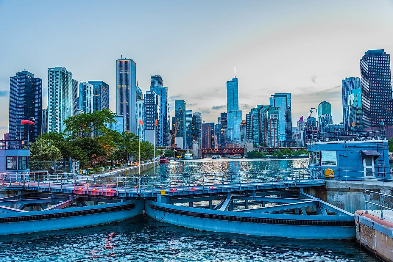
Lake Maumee occupied the Erie basin from around 17,500 years ago and drained west into the Wabash, which means water now bound for Niagara Falls was instead heading for the Ohio and the Mississippi. Lake Chicago filled the southern Michigan basin and drained south through the outlet at Chicago, the same low gap in the divide that engineers later used to reverse the Chicago River.
Both outlets sent Great Lakes water to the Gulf of Mexico. The modern arrangement, in which effectively all of it goes to the Atlantic, is the recent and temporary configuration.
Then They Collapsed
Around 11,200 years ago the ice retreated far enough to uncover a low outlet near North Bay in Ontario, and Lake Algonquin drained through it. The consequence was not a gentle decline to modern levels but a collapse well below them.
Lake Chippewa, which replaced Algonquin in the Michigan basin, sat at a surface elevation around 70 meters. Lake Michigan today sits at about 176 meters, which puts Chippewa roughly 106 meters, some 350 feet, below the modern lake. It measured about 350 kilometers long and 48 kilometers wide, a fraction of the modern lake's footprint.
Lake Stanley did the same thing in the Huron basin. For a period after the ice left, the upper Great Lakes were small, low, separate lakes with a great deal of dry land between them.
What Was Exposed

The low stands are the part of this history with the most surprising consequences, because an enormous amount of what is now lakebed was dry, walkable ground for thousands of years.
That includes the Alpena-Amberley Ridge, a land bridge that crossed the Huron basin during the low-water period. Underwater archaeology there has found what appear to be caribou-hunting structures built by people who lived on ground now beneath around 30 meters of water.
The same applies more broadly. Sites occupied during the low stands are now offshore and submerged, which is a substantial and largely inaccessible chapter of the region's human history.
The Land Came Back Up
The reason the lakes rose again after the low stands has nothing to do with more water arriving. It is the ground itself moving.
The Laurentide Ice Sheet was thick enough to push the crust down beneath it, and once the weight was removed the land began rebounding upward, a process still running today. The North Bay outlet that had drained Algonquin started rising as soon as it was uncovered, which gradually re-dammed the upper lakes and lifted them back toward modern levels.
Rebound was uneven, faster where the ice had been thickest and longest, which means the basins were being tilted as well as raised. Old shorelines that were level when they formed are now tilted across the landscape, and geologists use exactly that tilt to reconstruct the sequence.
Lake Nipissing

The rebound-driven rise produced one more very large lake before the modern arrangement settled. Lake Nipissing occupied the Michigan, Huron and Superior basins together and is generally described as the largest of all the post-glacial lakes in those basins.
It drained through multiple outlets at once, including the North Bay route and the Chicago and Port Huron outlets, before erosion at Port Huron captured the flow and set up the system we have now. That final adjustment is only a few thousand years old.
Why The Outlets Mattered More Than The Water
The single most useful idea in this whole history is that lake level was set by the elevation of whichever outlet happened to be open, not by how much meltwater was arriving.
An ice-dammed basin fills until it overtops the lowest available gap, and then it stays at that elevation regardless of inflow, because everything extra spills out. Uncover a lower gap and the lake falls to that new elevation, fast. Rebound the gap upward and the lake rises again.
That is why the same basins could hold a lake 90 meters up and then a lake 70 meters up inside a couple of thousand years. The water supply barely changed. The plumbing changed repeatedly.
What It Means For Today

Isostatic rebound has not finished. The northern and eastern parts of the basin are still rising relative to the south and west, which means the lakes are still being tilted very slowly, and over long enough timescales that changes which shorelines flood and which emerge.
The practical effect on any human timescale is negligible compared with seasonal and decadal level swings. The point is conceptual rather than urgent: the configuration everyone treats as permanent is a snapshot of a system that has been rearranging itself for 15,000 years and has not stopped.
The Great Lakes were once one lake, then several much smaller ones, then one again. The current five are simply where the process happens to be.