US Route 89: The Most Scenic Road In America
If you have ever wanted to drive the spine of the American West in a single shot, US Route 89 is the road. It runs north to south for roughly 1,400 miles, from the Canadian border in Montana down through Wyoming, a sliver of Idaho, the length of Utah, and into the high desert of Arizona. People call it the National Park Highway, and for good reason: it links seven national parks, more than any other road in the country. One thing worth knowing up front, though. It does not barrel straight through all of them. It is more of a thread that ties them together, with short side roads peeling off to each entrance. Here is what the drive actually looks like, state by state, heading south.
Montana

The northern end of 89 sits right at the Canadian line, in the open country east of the Rockies. This is the quiet stretch: rolling grassland and gentle hills where you stand a good chance of spotting pronghorn, the fast little antelope-like animals that graze the plains here. It is the kind of landscape that rewards pulling over and just looking for a while.
This corner of the route is also your jumping-off point for Glacier National Park, the first of the seven parks you can reach from the highway. A quick but important detail: 89 runs along the eastern edge of Glacier rather than through it, so you branch west on a connecting road to get in. It is worth the detour. Nicknamed the "Crown of the Continent," Glacier is less crowded than the marquee parks farther south, and depending on the season you can find yourself nearly alone with the peaks, forests, and namesake glaciers. From here, the highway turns south toward Yellowstone.
Wyoming

Wyoming leans hard into its Old West identity, and you feel it in the towns along 89. Afton even strings a literal arch of shed elk antlers over the road. These are working ranch communities with real frontier histories, not stage-set replicas, and an afternoon poking around one of them is time well spent. The driving here is a treat in its own right, threading the Snake River Canyon and the long green sweep of Star Valley.
The headliners, of course, are the parks. Yellowstone is the one everyone knows, and it earns the hype: geysers, bison herds ambling across the road, hot springs in colors that look digitally enhanced but are not. A heads-up for map-readers, though. The numbered route technically pauses at Yellowstone's boundaries, since the roads inside the park are unnumbered, so you drive through on park roads and pick 89 back up on the far side. Just south sits Grand Teton National Park, where the mountains erupt straight out of the valley floor with no foothills to soften the blow. The highway runs right past the Tetons, so this is one park you genuinely see from the car.
Utah

After a brief dip across the southeastern corner of Idaho, 89 drops into Utah, where the scenery starts to transform. Northern Utah still carries the green, open feel of the high country, and the highway becomes Main Street for a string of towns along the Wasatch Front. Keep heading south, though, and the land turns red and dry. Sandstone replaces grassland, and the temperature climbs, so if you are driving in summer, expect real desert heat by the time you hit the southern half of the state.
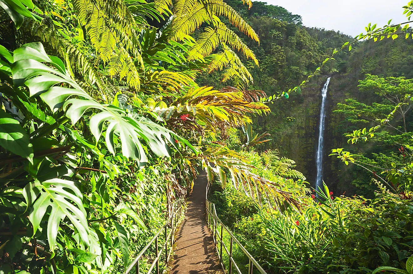
This is canyon country, and it is the reason a lot of people drive 89 in the first place. The highway gives you access to both Zion and Bryce Canyon, two parks that could not look more different from each other. Zion is all towering walls and slot canyons you crane your neck to take in from the canyon floor. Bryce, higher up, is a natural amphitheater packed with hoodoos, the slender orange rock spires that look like a crowd frozen mid-step. Neither sits directly on 89, but both are short, well-signed drives off it.
Arizona

Arizona is the last leg, and it is worth correcting a common assumption: this is not the saguaro-and-sand-dune Arizona of the postcards. The 89 corridor runs across the Colorado Plateau, high desert sitting between roughly 4,000 and 7,000 feet, much of it through the Navajo Nation. Instead of cactus forests, you get enormous open mesas, the long red wall of the Echo Cliffs, and the banded sandstone of the Vermilion Cliffs off in the distance. Look up and you may catch a hawk or a vulture riding the thermals; look at the roadside and you might spot a lizard sunning itself on the rocks.
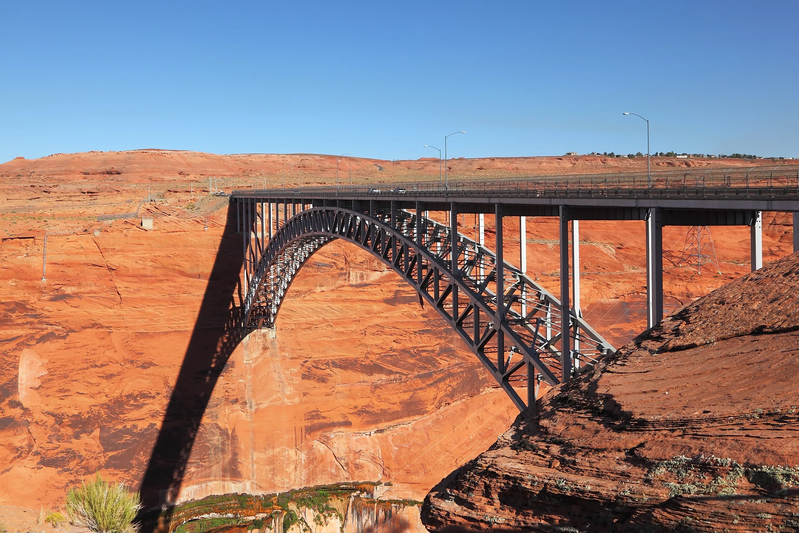
The big payoff in Arizona comes near Page, where 89 crosses the Colorado River beside Glen Canyon Dam, with Lake Powell spread out behind it. From the town of Cameron, a well-marked side road, AZ-64, carries you west to the east entrance of Grand Canyon National Park. The highway does not drop you at the rim itself, but it gets you within easy reach, and no photo really prepares you for the scale of the thing in person. It is the kind of view that resets your sense of how big a hole in the ground can be.
One Road, Seven Parks
What makes Route 89 special is not that it plows through the West's greatest landscapes but that it strings so many of them onto a single, drivable line. In one trip you can stand under the peaks of Glacier, watch a geyser erupt in Yellowstone, walk among the hoodoos at Bryce, and peer over the edge of the Grand Canyon, with hundreds of miles of grassland, canyon, and high desert filling the space between. You will spend more time on connecting roads and park entrances than the "runs through seven parks" shorthand suggests, but that is the nature of a road built to connect rather than conquer. Give it a week and a full tank, and 89 makes a strong case for the best road trip in the country.