9 Great Road Trips to Take in Vermont
Vermont is packed with scenic roadways that cross the state's small villages, ski resorts, mountain ranges, and the islands of Lake Champlain. Along the way, these drives connect historic landmarks such as the Arlington Covered Bridge and access to state parks, battlefields, and working farms. The routes also tie together the region's cultural threads, from Revolutionary War sites near the Green Mountain National Forest to Robert Frost's former home in Shaftsbury. These nine road trips capture both the landscape and heritage of Vermont.
Molly Stark Scenic Byway

The Molly Stark Scenic Byway follows Route 9 for about 48 miles. Running east to west from Brattleboro to Bennington, this southern Vermont route is known for views of small towns, covered bridges, and mountain lakes. It passes through portions of the Green Mountain National Forest. The byway is named after Revolutionary War General John Stark's wife, and the route generally follows the corridor associated with his 1777 march to the Battle of Bennington.
In Brattleboro, the Creamery Covered Bridge was originally built in 1879 and later reconstructed. It is closed to vehicle traffic but open to pedestrians. The Brattleboro Museum & Art Center holds exhibitions by regional and international artists. Molly Stark State Park in Wilmington includes a short hike up Mount Olga.
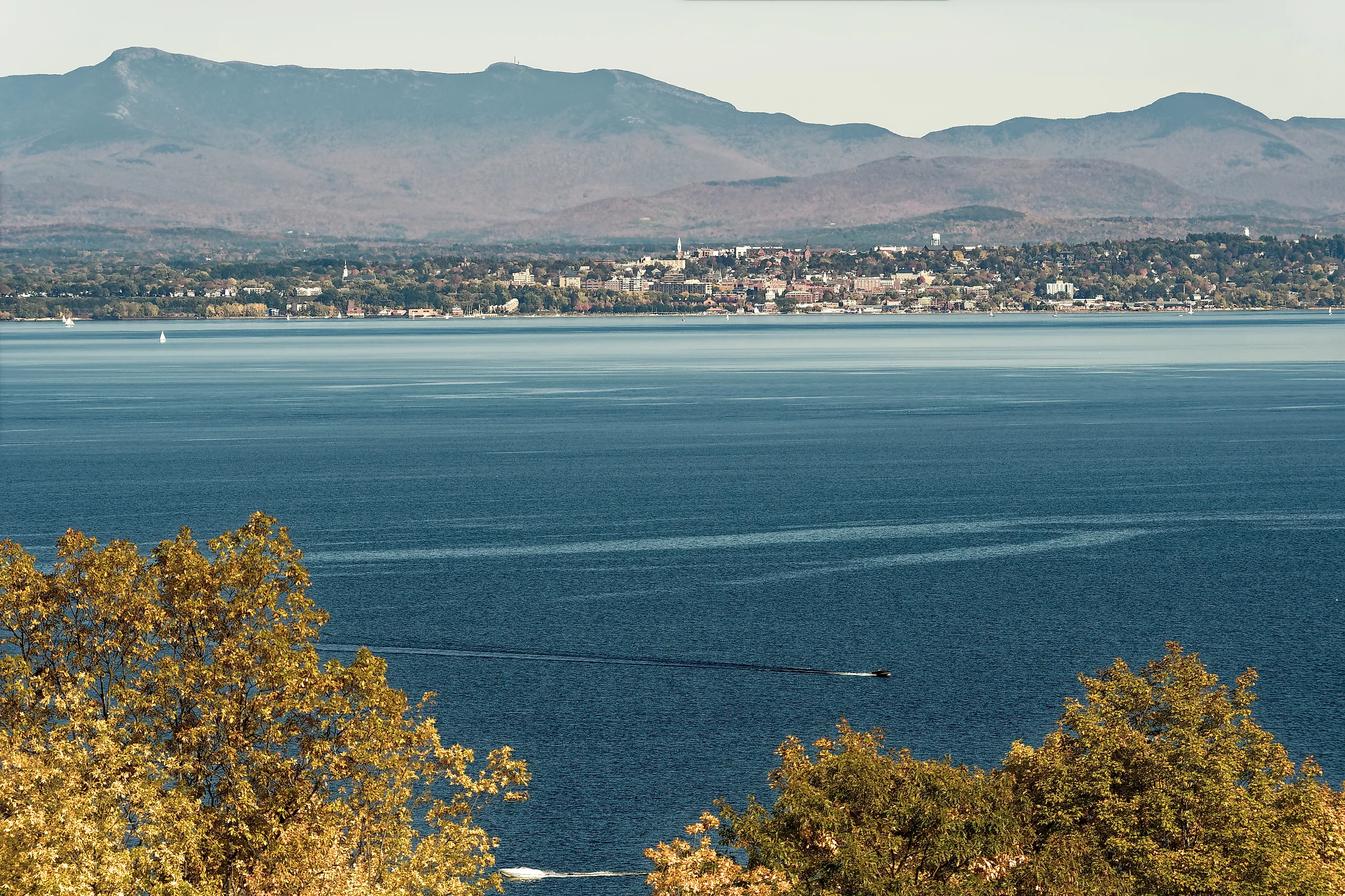
Lake Champlain Byway

The Lake Champlain Byway stretches for about 184 miles in the northwest part of the state. It follows a network of routes including US 2, US 7, and several connecting state highways. Running north to south, the byway begins in Alburgh near the Canadian border, continues through Burlington and Vergennes, and ends in Orwell.
Following the shoreline of Lake Champlain, this drive runs near Alburgh Dunes State Park and Grand Isle State Park on an island in the middle of the lake. Vergennes Falls Park, on Otter Creek, has a boat launch and a scenic waterfall right in town.
Vermont Route 100

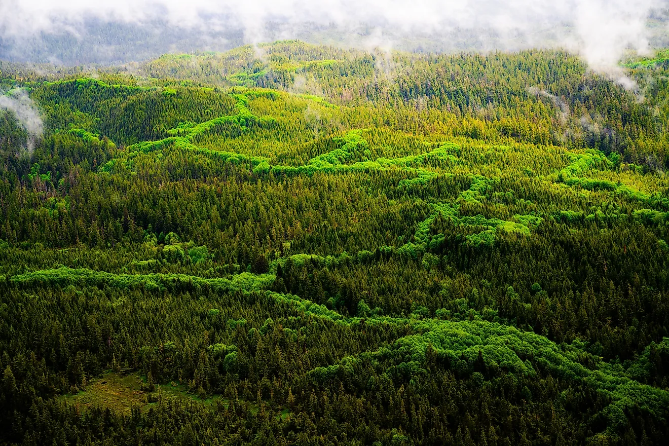
Sometimes called the "Skier's Highway" for its proximity to the state's top ski resorts, Vermont Route 100 runs about 216 miles. It starts in the north near Newport and heads south to Stamford at the Massachusetts border, running north-south through much of central Vermont alongside the Green Mountain National Forest.
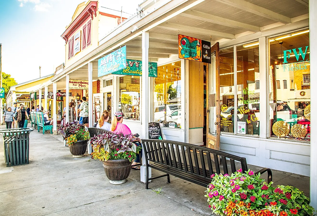
In Stowe, Stowe Mountain Resort and Smugglers' Notch State Park offer outdoor recreation. Stowe is also home to the Gold Brook Covered Bridge, built around 1844 and still spanning Gold Brook. Next on the route in Plymouth, Coolidge State Park has rustic campsites and picnic areas near President Coolidge's birthplace. Ludlow is another stop for skiers at Okemo Mountain Resort. In Weston, the Vermont Country Store sells gifts, apparel, and traditional New England goods such as maple syrup.
Green Mountain Byway

At 71 miles long, the Green Mountain Byway follows the peaks and passes of the northern Green Mountains. It sits in the north-central part of the state and takes in views of forests and Vermont's highest peak at Mount Mansfield. Following a combination of Routes 100, 100C, 108, 15, and 15A, the byway passes through towns such as Stowe and Hyde Park.
The Green River Reservoir State Park in Hyde Park covers about 5,500 acres and is well suited for paddling and swimming. Farther along, drivers can stretch their legs at Little River State Park or take a tour of the ice cream production line at the Ben & Jerry's Factory in Waterbury.
Smugglers' Notch

Smugglers' Notch, an approximately 3.5-mile stretch, sits within the larger Green Mountain Byway. It follows Route 108, a winding mountain road with rocky terrain and hairpin turns between Stowe Mountain Resort and Smugglers' Notch Resort. The route was historically used for smuggling goods, particularly during the early 19th century Embargo period and later during Prohibition. This section of Route 108 is closed from late fall to mid-May due to unsafe road conditions.
Although short and seasonal, this stretch is good for fall leaf viewing and for warm-weather visits to the resorts. Both Stowe and Smugglers' Notch offer spring and summer activities including hiking, climbing, and disc golf. Smugglers' Notch State Park is part of the more than 44,000-acre Mount Mansfield State Forest, making it a useful pull-off for picnics and nature watching.
Stone Valley Scenic Byway

Located on Route 30, on the southwestern side of the state, the Stone Valley Scenic Byway connects Poultney and Manchester and runs about 30 miles. It winds through Poultney, Wells, Pawlet, Rupert, and Dorset while passing historic landmarks and mountain peaks.
In Hubbardton, the Hubbardton Battlefield State Historic Site marks a 1777 Revolutionary War battle. Poultney's Lake Saint Catherine State Park covers 117 acres and is set up for camping and swimming. In Manchester, the American Museum of Fly Fishing preserves the history of the sport through art, rod design, and antique gear.
Connecticut River National Byway

The Connecticut River Byway runs about 500 miles in total across Massachusetts, New Hampshire, and Vermont. The Vermont portion follows Route 5 alongside Interstate 91 for roughly 250 miles along the Connecticut River. The route parallels the New Hampshire border and offers occasional views toward the White Mountains to the east and Vermont's own hills to the west. This drive goes through St. Johnsbury, Windsor, and Bellows Falls before ending near the Massachusetts border.
In St. Johnsbury, the Fairbanks Museum and Planetarium holds a broad natural history collection. A section of the Appalachian Trail passes near Norwich, with trailheads accessible from the byway. In Weathersfield, Wilgus State Park sits right along the Connecticut River with camping, canoe access, and short woodland trails.
Crossroads of Vermont Byway

The Crossroads of Vermont Byway runs about 50 miles on Route 4. It starts in the center of the state and heads east from Rutland to Quechee near the New Hampshire border, passing through Killington, which has access to a section of the Appalachian Trail, and Woodstock.
In Killington, Gifford Woods State Park is a small 114-acre property near the base of the Killington and Pico peaks. Next on the route is Billings Farm & Museum, a working dairy farm and agricultural exhibit in Woodstock. The Simon Pearce restaurant and glassblowing flagship and the Vermont Institute of Natural Science are both in Quechee.
The Shires of Vermont Byway

The Shires of Vermont Byway, historic Route 7A, spans about 33 miles between the Taconic and Green Mountains, close to the Batten Kill River. The roadway is named for the "shires," or county seats. Bennington County has two of them, Manchester in the north and Bennington in the south. The route runs through Arlington and Shaftsbury in the southwestern part of the state.
In Arlington, the West Arlington Covered Bridge, built in 1852 and crossing the Batten Kill River, is one of Vermont's older covered bridges. The Robert Frost Stone House Museum in Shaftsbury holds a collection of the poet's works in the 18th-century stone house where he wrote many of his best-known poems. His gravesite is nearby in Old Bennington, at the First Congregational Church. The Bennington Battle Monument, completed in 1891, commemorates the Revolutionary War's Battle of Bennington.
Exploring Vermont by Road
Vermont's scenic drives cover both long cross-state journeys and shorter excursions. Some routes run through the Green Mountains and along Lake Champlain; others take in food-and-craft stops like the Ben & Jerry's Factory or the Vermont Country Store. Many of these routes are located within driving distance of one another, and most are popular during fall foliage season.