Brattleboro, Vermont
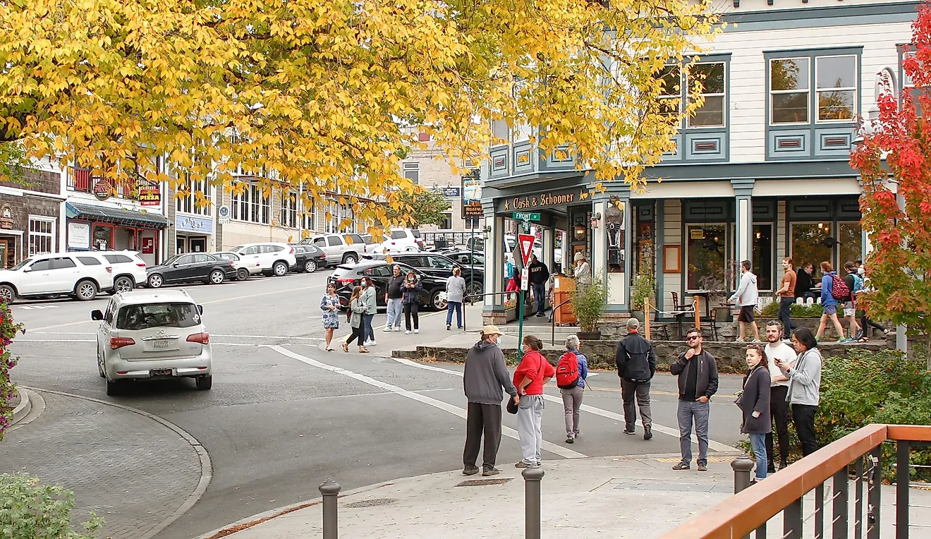
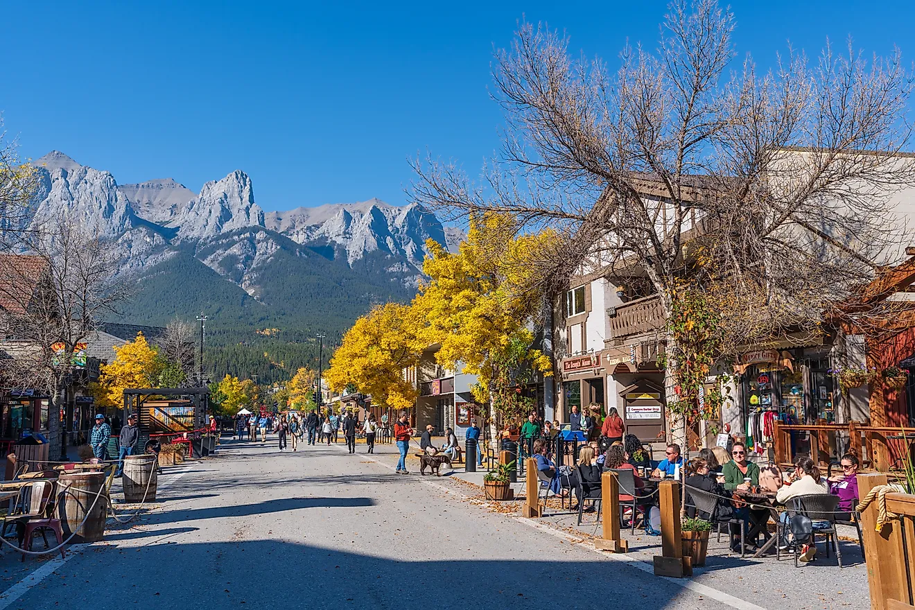
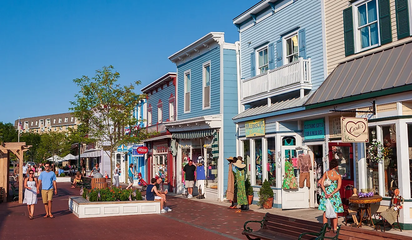
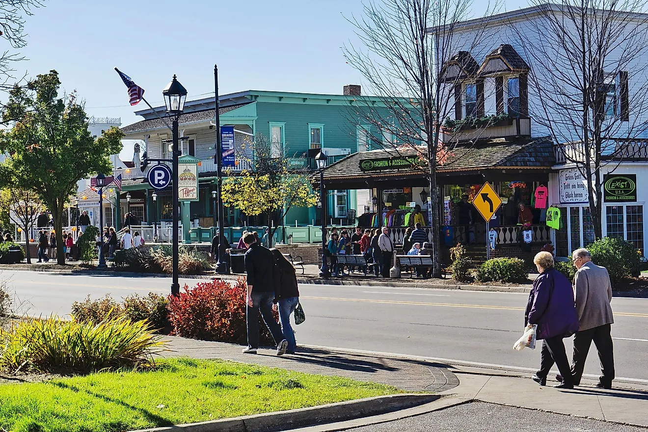
Brattleboro is a small New England town situated in Windham County in the southeastern part of the US State of Vermont. The town of Brattleboro is the most populous municipality located along the state’s eastern border with New Hampshire, on the western banks of the Connecticut River. Brattleboro easily blends the small-town character with a bustling downtown that hosts thriving arts and cultural scenes, making it one of the most popular tourist destinations.
Geography Of Brattleboro

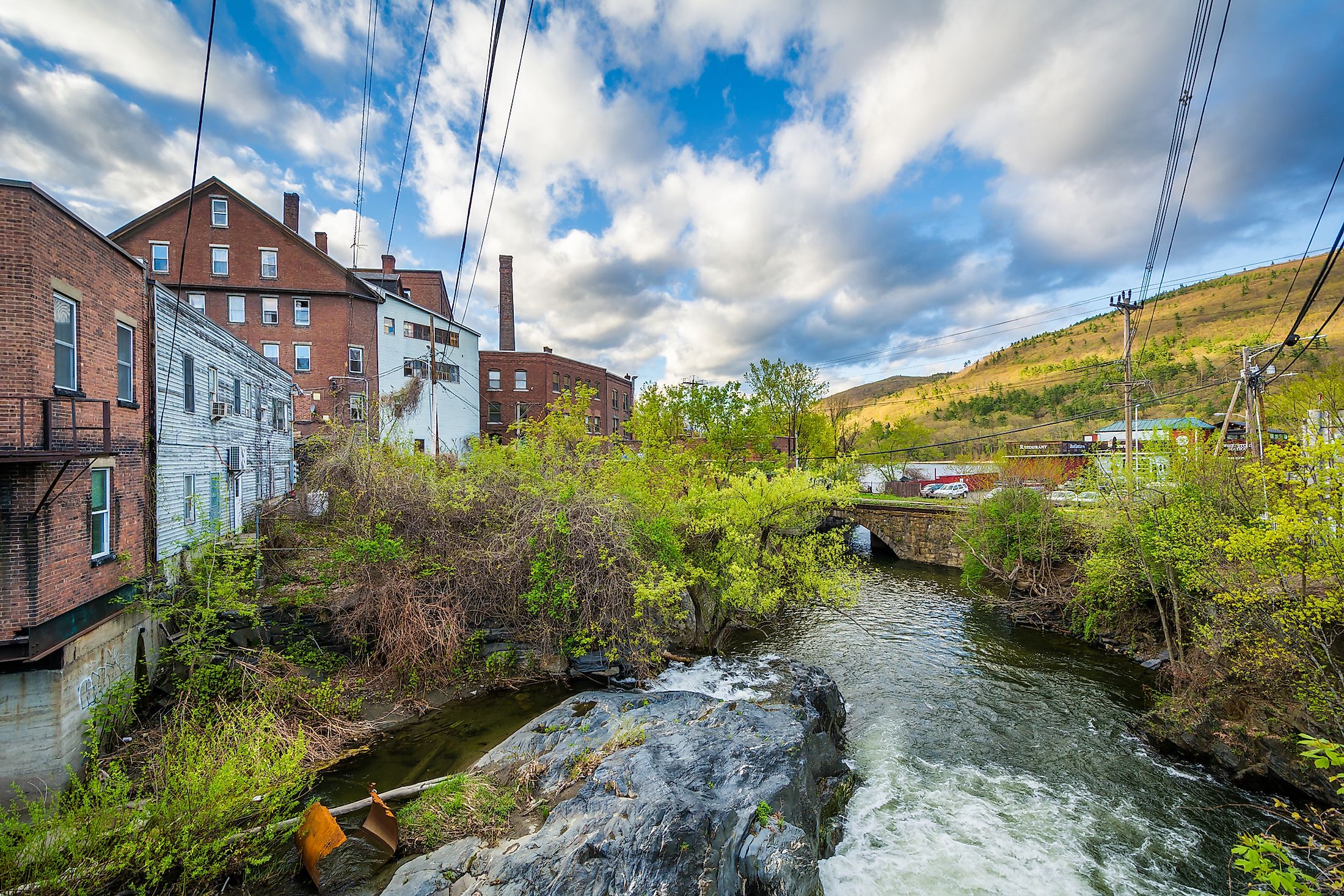
The town of Brattleboro covers a total area of 84.1 sq. km, of which 1.2 sq. km is occupied by water and 82.9 sq. km is occupied by land. Surrounded by the Green Mountains, Brattleboro is situated in the Connecticut River Valley at the mouth of the West River. The town is drained by three rivers: Ames Hill Brook, West River, and Whetstone Brook. The town of Brattleboro is crossed by six significant highways, including Interstate 91, Vermont Route 9, U.S. Route 5, Vermont Route 30, Vermont Route 142, and Vermont Route 119.

The town of Brattleboro is well-known for its vibrant art scene, and the downtown area contains many art galleries, artistic shops, studios of various artists, and performance venues. Located in a former railroad depot in downtown Brattleboro, the Brattleboro Museum and Art Center exhibit artworks by many notable regional and international artists, including Jennifer Bartlett, Janet Fish, Wolf Kahn, Andy Warhol, etc. In addition to this, the downtown area also includes a variety of restaurants and pubs. Another most famous attraction is the historic Creamery Covered Bridge that was constructed in 1879. The town of Brattleboro offers several recreational activities like hiking, cross-country skiing, skating, snowmobiling, especially during the winter months. There are also many parks and outdoor recreation centers in the town, including the Living Memorial Park, Fort Dummer State Park, etc. The town of Brattleboro hosts several festivals like the Brattleboro Free Folk Festival, Brattleboro Women’s Film Festival, Annual Winter Carnival, etc.
Climate
According to the Köppen climate classification, the town of Brattleboro experiences a humid continental climate with hot, humid summers and cold, snowy winters. The warm season lasts from May to September, with July being the hottest month, having an average high temperature of 26.6°C and a low temperature of 15.5°C. The cold season lasts from December to March, with January being the coldest month, having an average low temperature of -9.4°C and a high temperature of 0°C. The town receives heavy showers and thunderstorms, mainly during May and often Nor’easters during the winter months. The town gets an average of 235cm of snowfall annually.
Population Of Brattleboro
As per the 2020 US Census, about 12,184 people live in the town of Brattleboro. The town’s population has increased from the 2010 census, which showed that the town was home to 12,046 inhabitants. The town has a population density of 150 inhabitants per sq. km. A significant proportion of the town’s population is concentrated mainly in two census-designated places: Brattleboro and West Brattleboro. About 93.0% of the town’s population is considered White, the non-Hispanic group at 91.8%, Hispanic group at 2.3%, African Americans at 1.1%, Asians at 1.7%, and two or more races at 4.2%. The census also revealed that there are 5,478 households in Brattleboro with a median household income of $38,176.
Brief History Of Brattleboro

It is believed that the indigenous Abenaki people initially named the town’s present site “Wantastiquet” due to its location at the confluence of West and Connecticut Rivers. The Abenaki people visited this area annually between their summer settlement - Missisquoi and their winter settlement - Squakheag. Before the European arrival in the 17th and 18th centuries, the area was inhabited by the Sokoki people, a specific band of the Abenaki Indians. The area initially formed a part of the Equivalent Lands of the Province of Massachusetts Bay. On December 27, 1723, the Massachusetts General Court decided to construct a blockhouse and stockade on the Connecticut River close to the town’s present site to defend the Province of Massachusetts Bay during the Dummer’s War.
The township eventually became one of the New Hampshire Grants and was charted by Colonial Governor Benning Wentworth on December 26, 1753. The town was named in honor of Colonel William Brattle, who was a principal proprietor and also served as the Attorney General of Massachusetts. The town rapidly developed, and the first store was opened in 1771, followed by a post office in 1784. The famous Brattleboro Retreat was opened in 1834, and the Brattleboro Hydropathic Establishment was established in 1844 that provided “water cures” from its pure spring waters. In due course, the town had a paper mill, textile mill, printing establishments, machine shops, factories for making pump organs and carriages, etc. The town soon became a regional center for trade in lumber, grains, pork, turpentine, etc.