8 Most Scenic Drives In Ontario
Ontario covers more ground than most people realize, and a surprising amount of it is best seen from behind the wheel. The province's highway system runs along the St. Lawrence River near Quebec, west toward the United States border, north to Lake Superior, and farther still toward Manitoba, opening up landscapes that range from boreal cliffs to wine country to old-growth pine forests older than most of the towns nearby. Some of these drives take days. Others fit neatly into an afternoon. All eight reward the kind of trip where the route is the point.
Lake Superior Circle Tour

The Lake Superior Circle Tour is perhaps Ontario's most expansive and visually varied road trip, tracing the rugged northern shoreline of the largest freshwater lake on Earth by surface area. The full loop dips into Minnesota, Wisconsin, and Michigan, but the Ontario segment follows Highway 17, where granite cliffs, dense boreal forest, and sudden shoreside vistas define the bulk of the drive.

Between Sault Ste. Marie and Thunder Bay, the route passes through Lake Superior Provincial Park, known for its sweeping beaches, inland lakes, and frequent wildlife sightings, including moose, black bears, and a wide variety of waterbirds. Further north, Ouimet Canyon is worth a side stop, with its sheer cliffs dropping into a wide gorge that some regard as a kind of "Canadian Grand Canyon," unlike anything else in the province.

Long stretches of open highway, minimal development, and constant proximity to Lake Superior give this drive a remote, uninterrupted feel, with conditions that shift quickly depending on weather and season. In good weather, this is also one of the best long-range road cycling routes in Northern Ontario.
Temagami

Driving through Temagami along Highway 11 offers a quiet, northern alternative to some of Ontario's busier routes. The region is best known for its lakes and canoe routes, and this stretch passes through pristine old-growth forests, exposed outcrops of the Canadian Shield, and frequent glimpses of interconnected lakes.

The woodlands in and around Temagami account for some of the largest remaining stands of old-growth red and white pine in the province, giving the drive a distinctly rugged, backcountry character. Side roads lead toward Lake Temagami, where islands and peaceful shorelines extend in all directions. A short detour near Finlayson Point Provincial Park brings you to Temagami Fire Tower, which provides a clear vantage point high above the surrounding wilderness.
Highway 60 Corridor through Algonquin Provincial Park

The section of Highway 60 that passes east-west through Algonquin Provincial Park is among Ontario's most accessible and consistently scenic drives. Located about three hours north of Toronto, it runs across the southern portion of the park through dense mixed forest, high rocky ridges, ecologically important wetlands, and small lakes that sit just beyond the roadside.

Well-placed lookouts near the Lookout Trail and on Lake of Two Rivers provide quick stops with broad views, short hikes, and easy shoreline access for anyone bringing a canoe or kayak. Moose are common in marshy areas during early morning and evening hours, though the park discourages stopping on the road to observe wildlife, as it creates traffic buildup and disturbs the animals.

In autumn, the corridor becomes especially busy as the adjacent hardwood forests shift to peak color. Outside that period, traffic tends to remain manageable aside from summer weekends.
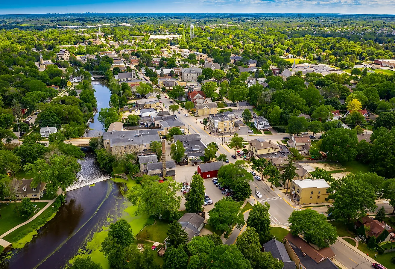
The Muskoka Lakes

A stretch of Highway 118 and Highway 169, sometimes referred to as the "Muskoka Lakes Drive," cuts through what may be Ontario's most recognizable slice of cottage country. Winding between Bracebridge, Port Carling, Bala, and a handful of other communities, the route follows a landscape of exposed Canadian Shield rock, parks, and a steady chain of lakes.
Notable sections along Lake Muskoka, Lake Rosseau, and Lake Joseph provide frequent views of the water, often framed by docks, boathouses, inlets, and islands in a landscape that recalls the famous paintings of the Group of Seven.
In summer, traffic increases with seasonal visitors arriving from the cities to the south, while fall brings a vivid color contrast across the forested landscapes. The road meanders but is generally well maintained, with gradual elevation changes that reveal new sightlines around each bend. Despite its popularity, a number of short side roads and quieter stretches still offer less crowded segments.
Calabogie Peaks and the Madawaska Highlands

The roads in and around Calabogie and the Madawaska Highlands deliver one of southeastern Ontario's most underrated drives. Centered on Calabogie Lake, the route follows a network of secondary highways and backroads, including sections of Highway 508 and Highway 511, where tight curves and steady hills make it especially popular with motorcyclists.
Calabogie Peaks Resort provides a higher vantage point over the surrounding hills and a place to stay overnight. Detours deeper into the highlands pass by campgrounds like Ferguson Farm Campground and Black Donald Tent & Trailer Park, among others. Calabogie is roughly 90 minutes from downtown Ottawa via the Trans-Canada Highway, making it a manageable day trip or weekend outing from the capital.
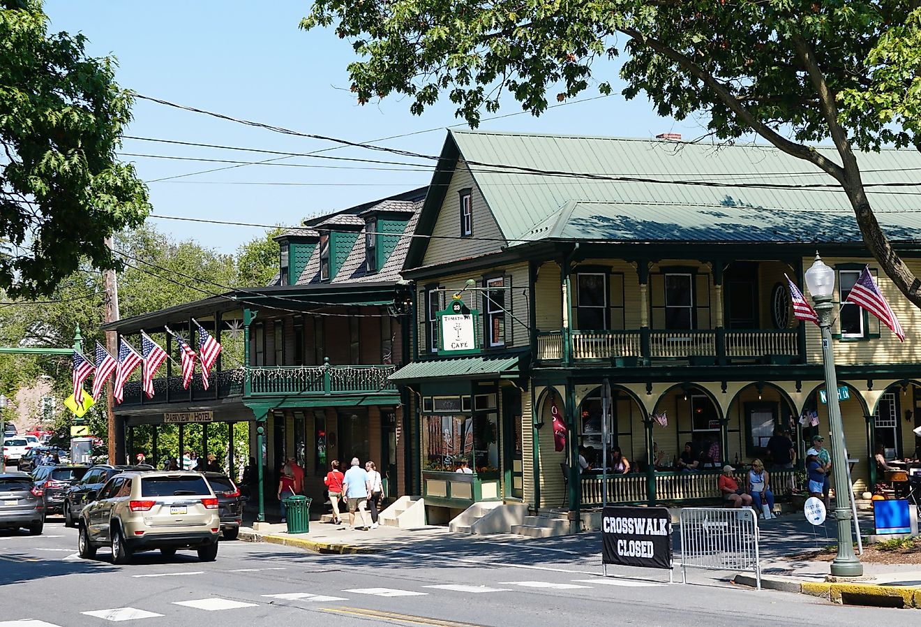
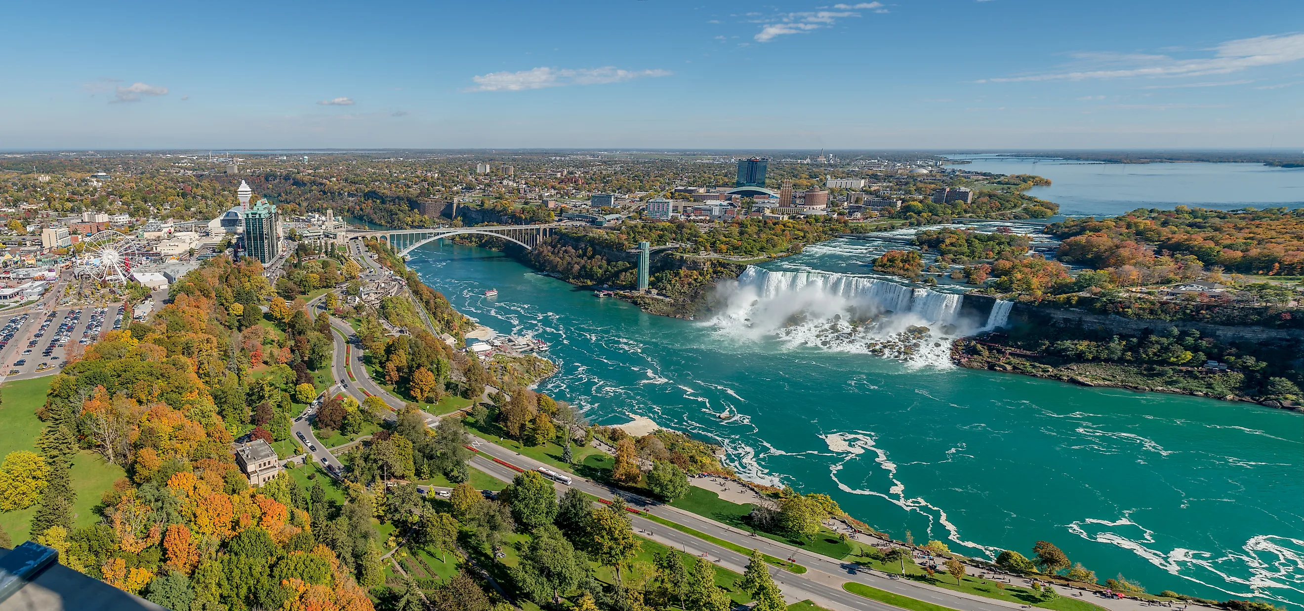
Niagara Parkway

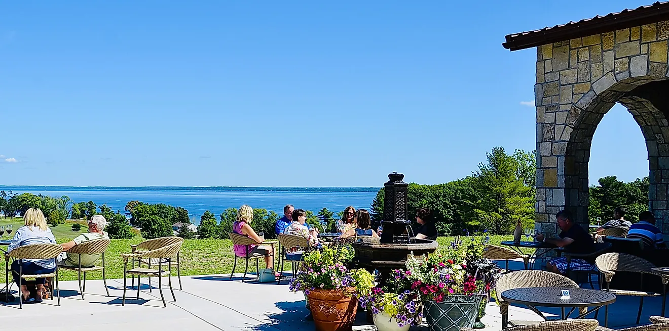
At an easy 55 kilometers, the Niagara Parkway follows the Niagara River from Fort Erie to Niagara-on-the-Lake. It offers a relatively linear drive with consistent views of the river and well-maintained roadside green spaces, all manageable in a day or less. It also passes through the Niagara wine region, with vineyards like Ravine Vineyard Estate Winery and dozens of others lining the route.
The most prominent stop is Niagara Falls, where the river drops sharply before eventually reaching Lake Ontario. The falls carry one of the highest flow rates of any waterfall in North America, making this the busiest and most developed section of the parkway. North of the falls, the route passes through historic sites like Fort George National Historic Site, with wide-open views across the river into New York.
The Kawarthas

The Kawartha Lakes region features a water-focused drive with short transitions between lakes, wetlands, cottage communities, and nature preserves. Highway 35, which cuts near Fenelon Falls, Bobcaygeon, and Lindsay, connects a network of smaller roads that frequently intersect the historic Trent-Severn Waterway. Bridges, locks, and narrow channels are common sights, often providing direct lookouts over boats moving between river sections and lakes.

Key portions along Sturgeon Lake and Pigeon Lake open into wider sightlines, while more inland sections pass through remote countryside and the Kawartha Highlands Provincial Park off Highway 28. Further north, Silent Lake Provincial Park is a favorite among campers, with campsites and yurt rentals along a lake where motorized boats are banned.
Sideroads of Scugog

The sideroads within Scugog Township create a surprisingly peaceful drive for anyone in southern Ontario looking for an afternoon escape. Radiating out from Port Perry, these secondary roads form a loose network rather than a single route, passing through some of the most pristine farmland, intermittent lakes, and natural areas in the otherwise heavily developed Durham Region.
Many stretches run close to Lake Scugog, where brief openings between properties reveal marshland edges and public beach access. Other sections shift to open agricultural fields, woodlots, and gently rolling terrain, with long sightlines that are uncommon on more forested drives elsewhere in the province.
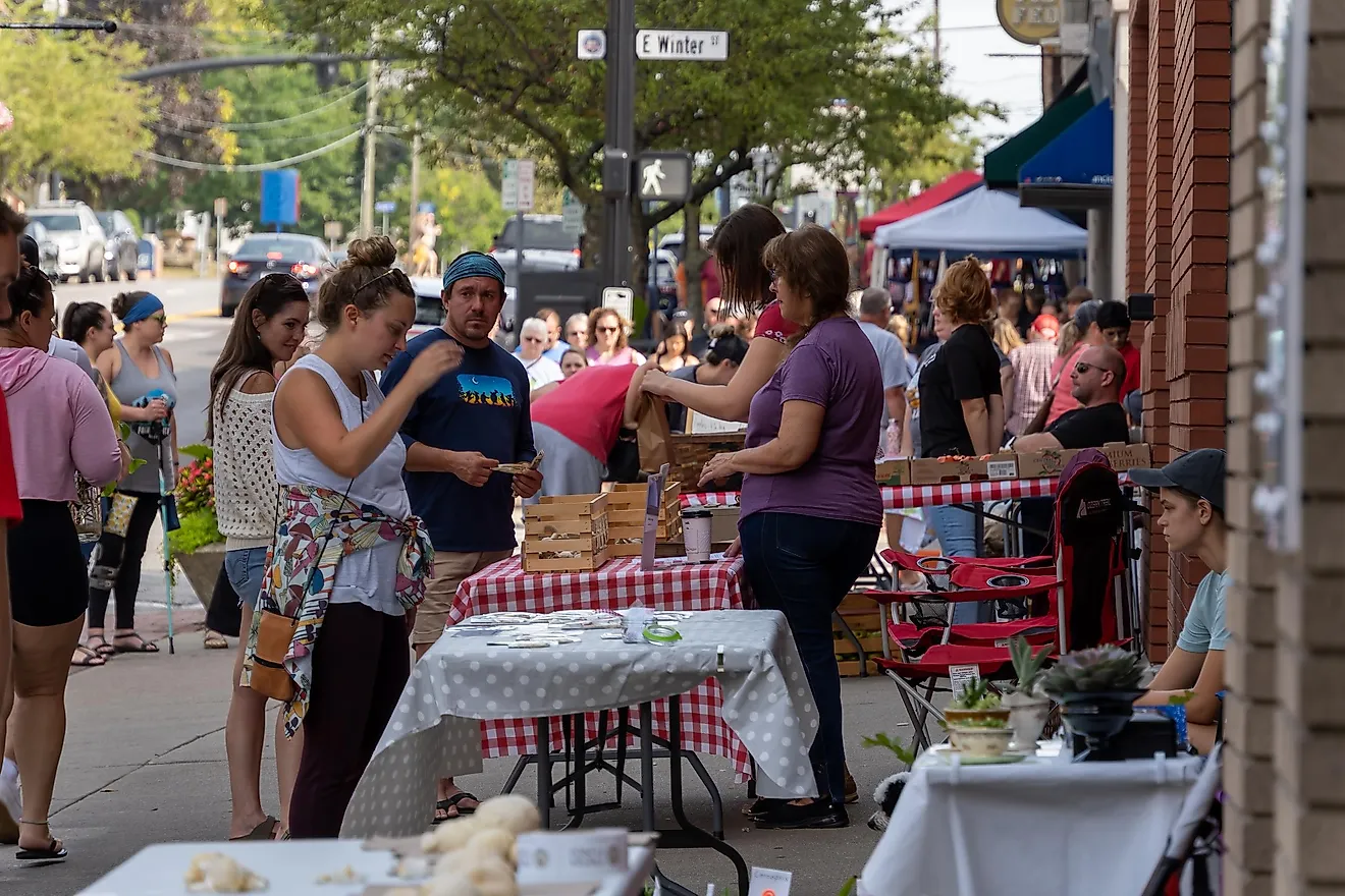
Along the way, Willowtree Farm offers fresh produce throughout the year, Port Perry's Waterfront Trail is a good place to stretch your legs, and the Great Blue Heron Casino & Hotel on Scugog Island adds a different kind of stop entirely.

Cyclists coming from Toronto or heading up from Oshawa and other cities in the Durham Region also favor this area, as its network of quiet side routes makes for safe, scenic riding with minimal car traffic.
Ontario by the Road
Ontario's drives vary as widely as the province itself, from the exposed shorelines of the Great Lakes to the managed riverfront of the Niagara Parkway, the old-growth forests of Temagami, and the quiet backroads of Scugog. Some routes prioritize isolation. Others pass through settled regions where roadside attractions and vineyards line the way. All of them make the case that some of Canada's best scenery is right here, no flight required.