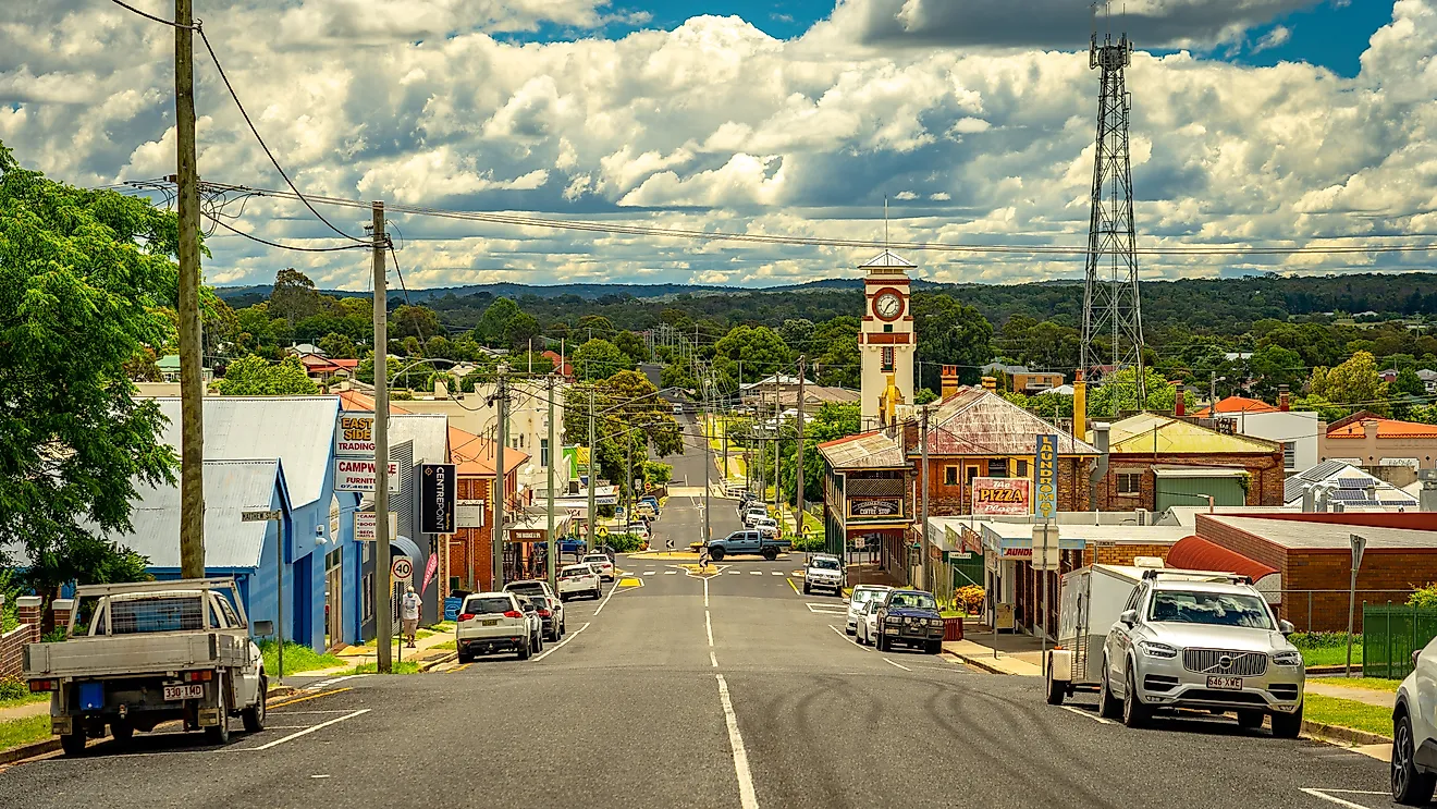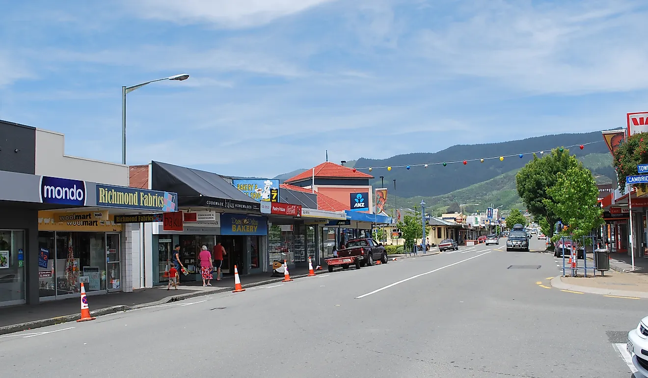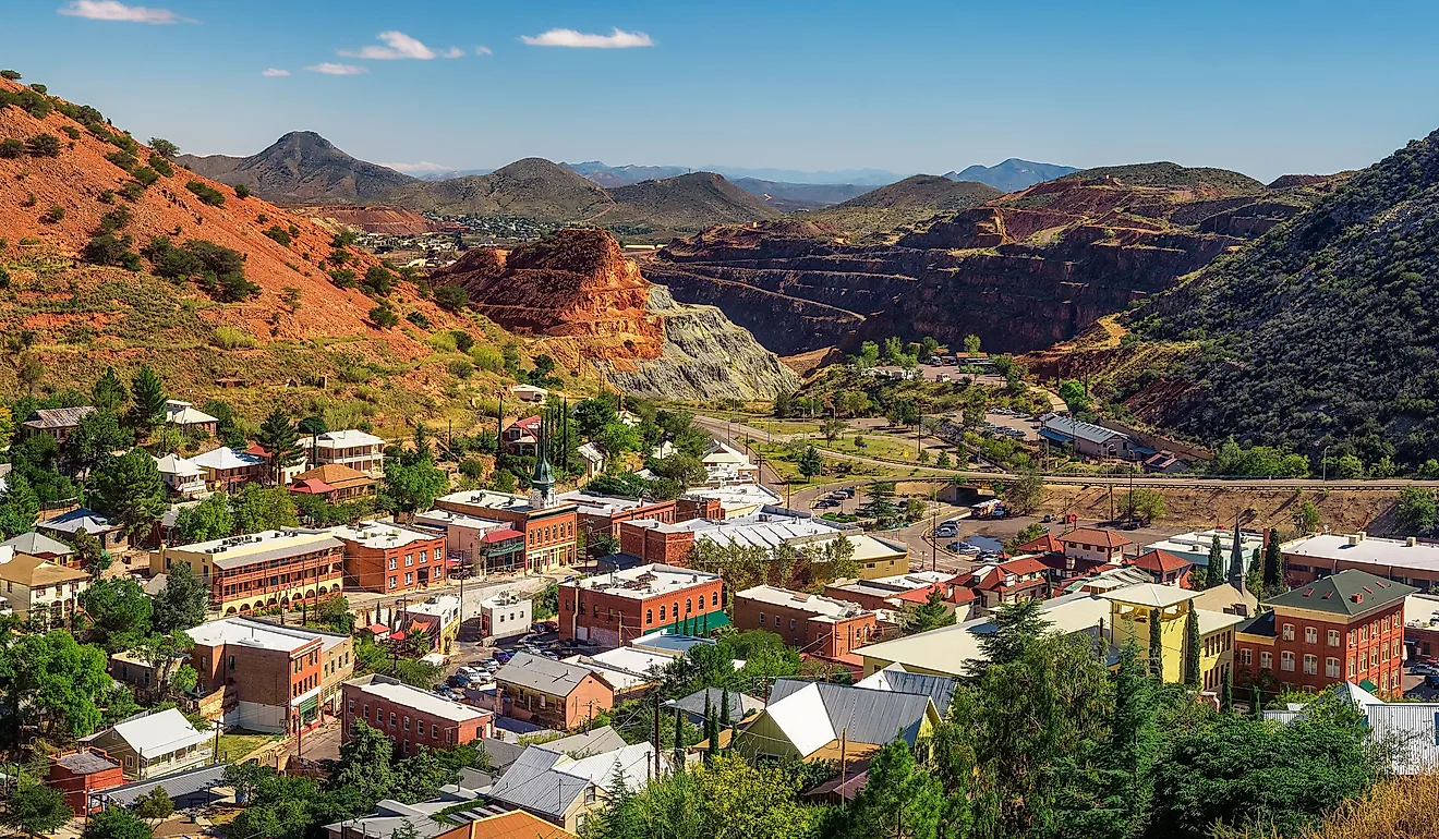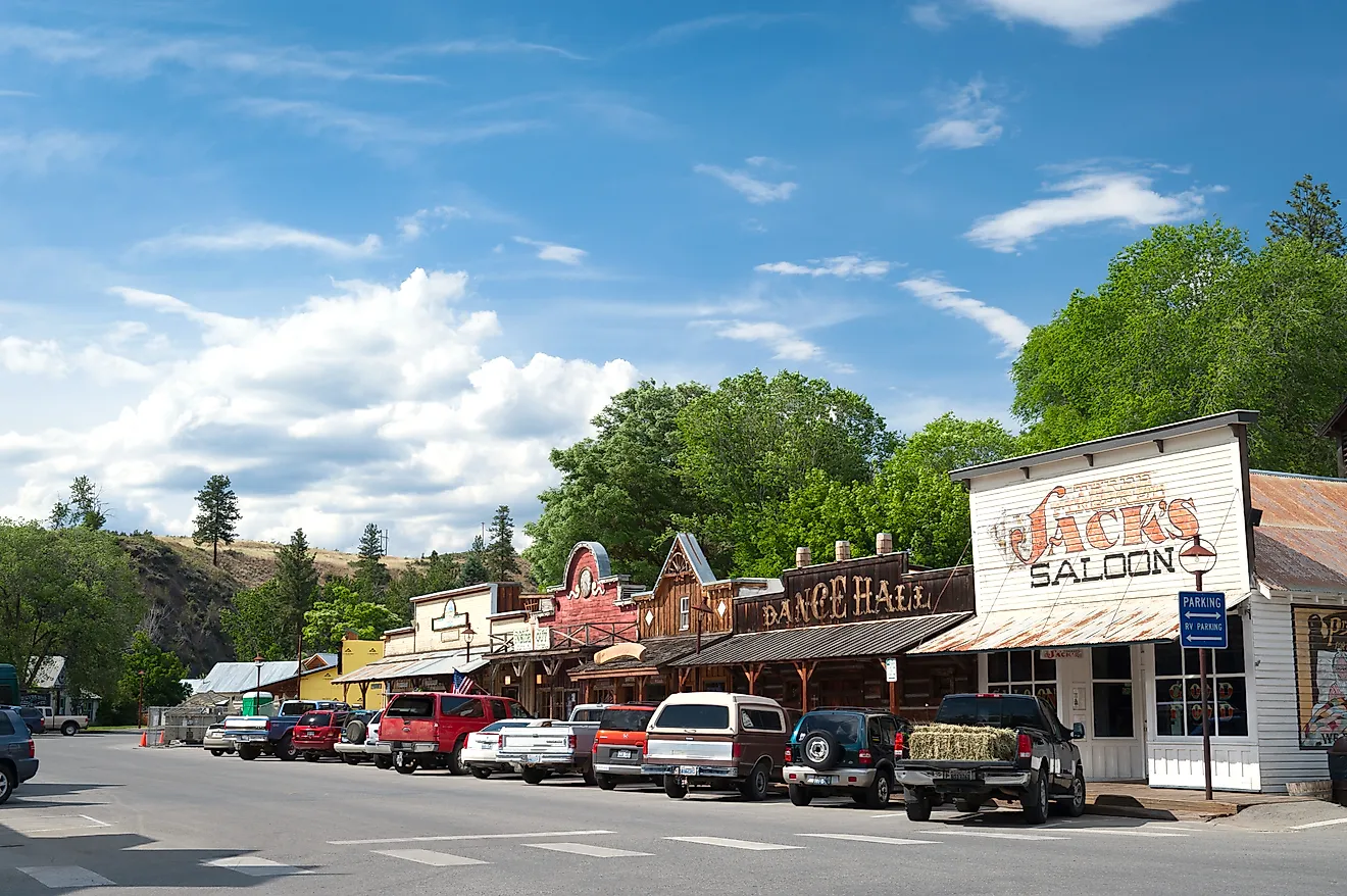
8 Cute Small Town Drives In Wisconsin
These cute drives in Wisconsin combine several smaller towns that are close enough to explore in one relaxed outing. If you want to experience the Green Bay shoreline but cannot decide between Sturgeon Bay and Sister Bay, driving the stretch between them reveals these towns and more in a single trip. The same idea works along the Mississippi River between Prescott and Trempealeau, where stops like Stockholm naturally break up the drive. These 8 drives make for shorter, but memorable, drives that pass through distinctive towns and worthwhile stops that turn a simple outing into a full day.
Prescott to Trempealeau

When on this Great River Road section drive, follow the green pilot wheel signs south out of Prescott on Highway 35, and the Mississippi River takes over almost immediately. Limestone bluffs rise more than 400-500 feet above the river on one side, while the water stretches wide for the full 98 miles. Prescott is a proper send-off point. Freedom Park sits at the confluence of the St. Croix and Mississippi Rivers, with free spotting scopes aimed at bald eagle flight paths that are active year-round.

Stockholm arrives fast and earns every bit of its reputation. The Stockholm Pie & General Store, operating out of a 1900s building, has been ranked among the top pie shops in the country. Pepin comes next, sitting at the widest natural lake on the Mississippi. Most drivers stop at the Laura Ingalls Wilder Museum, which holds Ingalls family artifacts and pioneer-era memorabilia. This drive ends at Trempealeau, althoug Great River Road extends further. This town is home to Perrot State Park, which covers 1,270 acres of wetlands and bluffs. Trails include Brady's Bluff Trail, the River View Trail, and Horseshoe Falls, which forms dramatic ice walls in winter. Cyclists can connect directly to the 24-mile Great River State Trail from the campground. After the hike, the Trempealeau Hotel, listed on the National Register of Historic Places, serves food and hosts live music through the summer.
Sturgeon Bay to Sister Bay

Highway 42 runs north up the Green Bay side of the Door Peninsula, and the drive is less about the distance of 32 miles than about how many times you'll want to pull over on this stretch of the Door County Coastal Byway. It starts in Sturgeon Bay, where the Door County Maritime Museum sits along the working waterfront and offers tours of the restored tugboat John Purves, a sharp way to set up everything this peninsula is built on. Egg Harbor follows, with the 400-million-year-old Niagara Escarpment bluffs becoming visible as you enter town. Grab something at the waterfront before continuing north. Fish Creek is the gateway to Peninsula State Park, which spreads over 3,000 acres and features eight miles of Green Bay shoreline, plus guided tours of the 1868 Eagle Bluff Lighthouse.

In Ephraim, Anderson Dock has been a community landmark since the mid-1800s. The graffiti-covered red warehouse is now home to the Hardy Gallery, showing local artists' work, and the tradition of painting your name on its walls is still going. Wilson's Restaurant & Ice Cream Parlor has been serving guests since 1906 and sits right on the Ephraim waterfront; the root beer alone justifies the stop. The drive ends in Sister Bay, where the marina and beach anchor a compact main street full of independent shops and year-round events.
Whitewater to Elkhart Lake

This stretch follows part of the Kettle Moraine Scenic Drive, a larger route that runs through southeastern Wisconsin’s glacial landscape. Just under an hour from Madison, Whitewater works as a natural starting point. Just outside town, Whitewater Lake sits within the Southern Unit of Kettle Moraine State Forest, where shoreline trails and quiet water views make an easy first stop before the road winds deeper into the moraine.

Eagle appears next, home to Old World Wisconsin, a 600-acre open-air museum where restored immigrant farms and buildings recreate 19th-century rural life. Delafield brings the landscape into sharper relief. Lapham Peak, at 1,233 feet, is the highest point in Waukesha County, and the observation tower looks out across the rolling ridges that define the region. Near Campbellsport, the Ice Age National Scenic Trail crosses the forest and follows the edge of the glacier that carved this terrain. The drive ends in Elkhart Lake, a small resort village built around one of Wisconsin’s clearest glacial lakes, with historic inns and lakeside restaurants that make a fitting final stop.
Lodi to Prairie du Chien

The Lower Wisconsin River Road follows the final stretch of the Wisconsin River before it joins the Mississippi. For nearly 100 miles, the route moves through wide floodplains, wooded ridges, and small towns that grew up along one of the state’s most important waterways. Lodi marks the starting point near Lake Wisconsin, where the river widens behind Prairie du Sac Dam. Parks and boat launches along the shoreline make it easy to pause before heading west along the valley. Just downriver, Sauk City sits on one of the oldest crossings of the Wisconsin River. Nearby Wollersheim Winery & Distillery occupies a hillside property first planted with grapes in the 1840s. The stone cellars, vineyard views, and tasting room make it a natural stop along the route.

The road passes through open countryside before reaching Spring Green, known for two destinations that draw visitors from across the Midwest. Taliesin, Frank Lloyd Wright’s home and studio, spreads across an 800-acre estate in the hills outside town. Minutes away, House on the Rock fills a sprawling hilltop complex with galleries, mechanical music machines, and unusual collections. Muscoda appears next along the river and is known statewide for its annual Morel Mushroom Festival each spring. The route finishes in Prairie du Chien, where historic riverfront streets and the restored Villa Louis estate reflect the town’s long role in trade and river travel.
Manitowoc to Algoma

Lake Michigan stays in view for most of this shoreline drive between Manitowoc and Algoma. Harbors, fishing piers, and small lake towns appear frequently along the 42-mile route. About 80 miles from Milwaukee, Manitowoc sets the scene with a long maritime history. The Wisconsin Maritime Museum sits beside the harbor and includes tours of the USS Cobia, a World War II submarine built locally during the war years. The riverwalk and marina nearby provide an easy place to start the trip.

A few miles up the coast, Two Rivers sits where the East and West Twin Rivers meet the lake, which is the town that claims to be the origin of the ice cream sundae. Just north of town, Rawley Point Lighthouse rises 111 feet above the shoreline and remains one of the tallest lighthouses on the Great Lakes. Further along, Kewaunee centers on a working harbor lined with charter fishing boats and a long breakwater extending into the lake. Finally comes Algoma, where a compact harbor district, Crescent Beach, and a cluster of small art galleries and wineries overlook Lake Michigan.
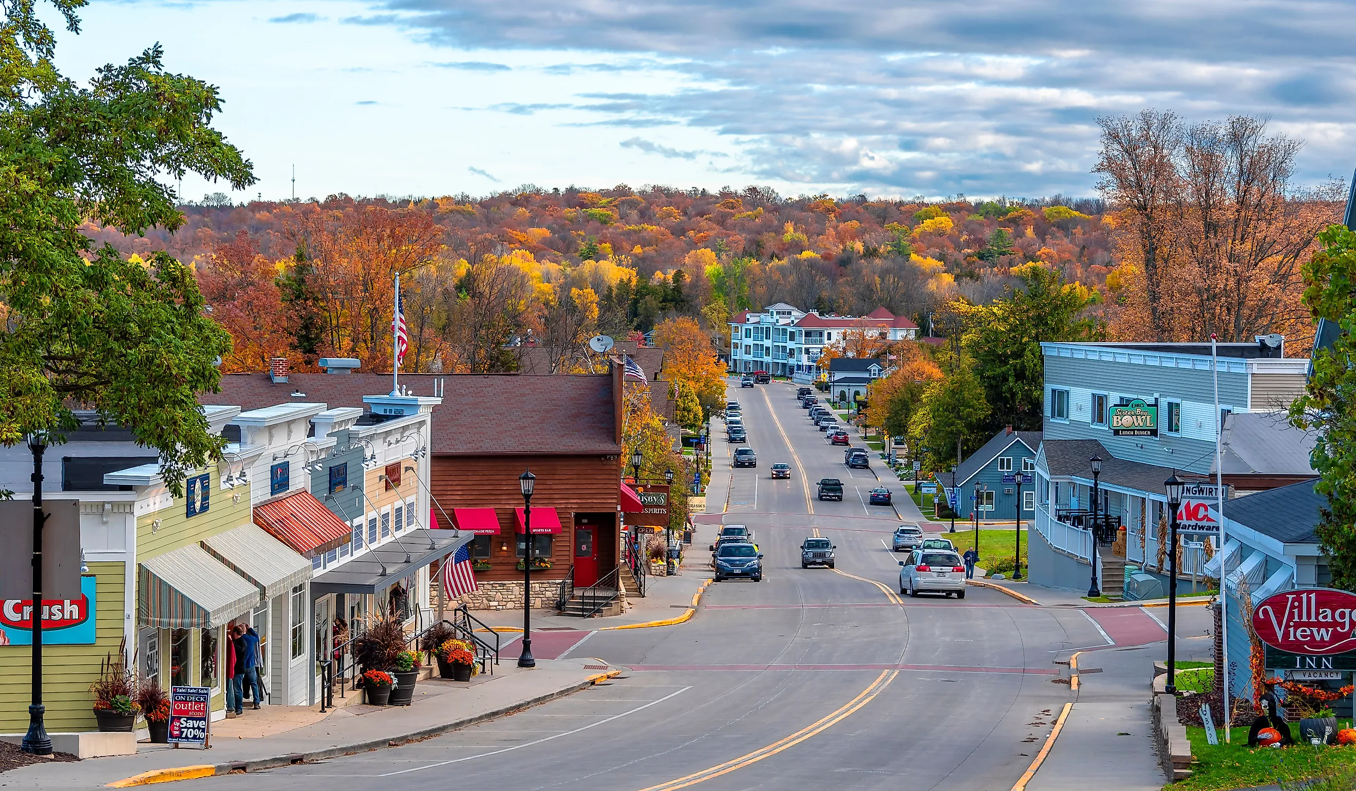
Bayfield to Cornucopia

Lake Superior shapes this short drive around the Bayfield Peninsula, where small harbor towns sit between forested hills and open water. The route covers about 32 miles along the southern shore of the Apostle Islands region. Bayfield begins the drive with a busy marina facing the Apostle Islands National Lakeshore. Ferries leave from the harbor to Madeline Island, and orchards surrounding the town produce apples and berries that fill local farm stands in late summer. A few miles west, Washburn sits on Chequamegon Bay with a long lakefront and marina. The Washburn Cultural Center, housed in the former city hall building since the 1890s, shares local history through rotating exhibits and community events.

The road follows the shoreline toward quieter stretches of the peninsula before reaching Cornucopia, a small fishing village on Siskiwit Bay. The harbor here is lined with small boats and fish sheds that still support Lake Superior’s commercial fishing traditions. Just beyond town, Meyers Beach provides access to the mainland sea caves of the Apostle Islands National Lakeshore. A short walk along the Lakeshore Trail reveals sandstone cliffs carved by waves and winter ice, one of the most distinctive landscapes along Wisconsin’s Lake Superior coast.
Monroe to New Glarus

Green County sits at the center of Wisconsin’s dairy country, and this short drive connects three towns that helped shape the state’s reputation for cheese making. The approximately 17-mile route passes through open pastureland, family farms, and small communities rooted in Swiss heritage. Monroe is a good place to start as the county’s largest town and the hub of Wisconsin’s “Cheese Capital.” The National Historic Cheesemaking Center preserves tools, photographs, and equipment from the region’s early dairy industry. Around the courthouse square, cheese shops and cafés reflect the town’s long connection to local creameries.

A few miles east, Monticello sits among working dairy farms that supply Green County’s cheese industry. The small Monticello Downtown Historic District holds brick storefronts from the late 1800s, and the Sugar River State Trail passes just outside town, drawing cyclists and walkers through the same farmland that defines this stretch of the drive. About 25 minutes later, the destination is New Glarus, widely known as “America’s Little Switzerland.” Chalet-style buildings line the main street, and the Swiss Historical Village Museum explains how immigrants from the canton of Glarus established the community in the 1840s. Just outside town, the hilltop New Glarus Brewing Company draws visitors with tours, tastings, and wide views across the surrounding countryside.
Lake Geneva to Fontana

Geneva Lake has attracted visitors since the late 19th century, when Chicago families built large summer estates along its shoreline. This short drive traces the lake’s quieter northern edge between three small resort towns. Lake Geneva sets the scene with a busy harbor and historic waterfront. The Lake Geneva Shore Path, a 21-mile public walkway circling the lake, passes directly in front of many of the Gilded Age mansions built here more than a century ago.

The road reaches Williams Bay within minutes. The village is home to Yerkes Observatory, completed in 1897 and known for its 40-inch refracting telescope, still the largest ever constructed. Guided tours explore the observatory’s research legacy and distinctive Romanesque architecture. The final stretch hugs the lakeshore before reaching Fontana, where the shoreline opens into one of the widest views across Geneva Lake. Fontana Beach and the Abbey Harbor marina sit at the center of town, with lakeside cafés and small shops within walking distance of the water.
Some of the best road trips happen when the destination is not a single town but a string of them. These cute small-town drives in Wisconsin highlight why the state offers some of the most enjoyable scenic routes in the United States. One drive connects Monroe and New Glarus through Green County’s dairy farms and Swiss heritage towns. Another traces Lake Michigan between Manitowoc and Algoma, where harbors, lighthouses, and small beaches appear along the shoreline. Each route makes it easy to experience several towns in one outing.