The Tallest Mountain In America From Base To Summit
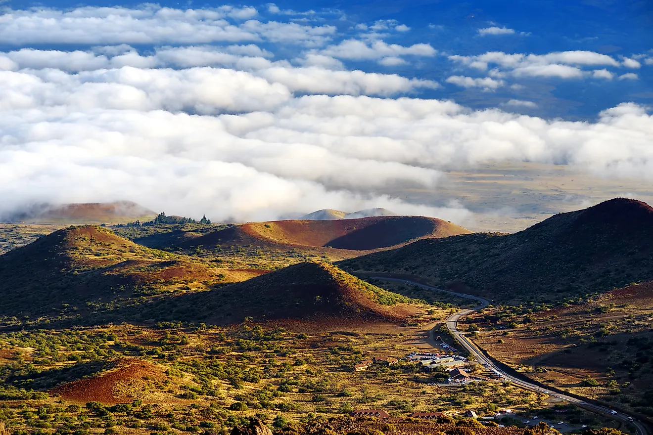
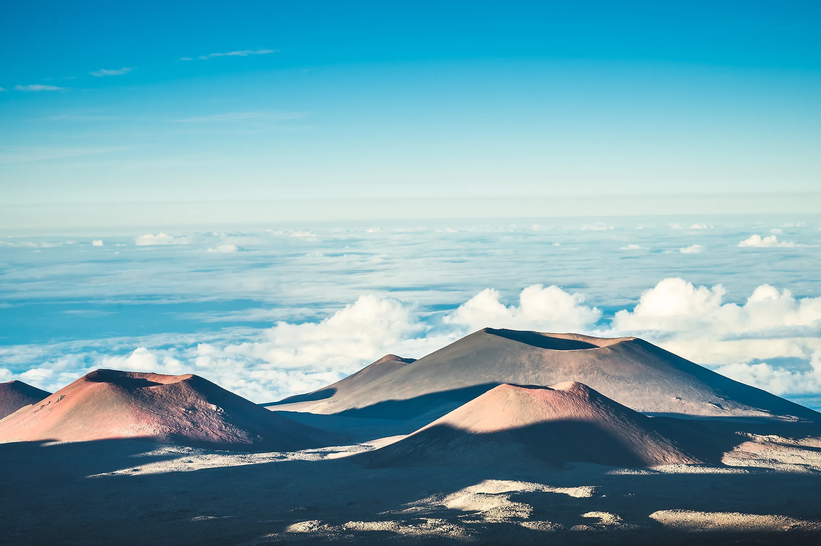
Mauna Kea in Hawaii is the tallest mountain in the United States when height is measured from the present-day surface at its base to its summit. Its summit reaches 13,803 feet above sea level, but most of the volcano is underwater. Mauna Kea extends about 19,700 feet below sea level before reaching the Pacific seafloor. Combined, those measurements give it a total height of about 33,500 feet, or 10.2 kilometers. That is greater than Mount Everest's 29,032-foot elevation, although Everest is measured from sea level rather than its local base. There is no official national ranking of mountains by base-to-summit height because the base of a land mountain can be defined in different ways. For consistency, this article uses the present-day seafloor for oceanic volcanoes and nearby lowlands, valleys, or coastlines for mountains on land. The figures below therefore describe physical relief, not simply summit elevation.
Mauna Loa, Hawaii

Mauna Loa reaches 13,679 feet above sea level, but the visible island represents only part of the volcano. Its submarine flanks lie roughly 5 kilometers, or about 16,400 feet, below sea level. Using the modern ocean floor as the starting point gives Mauna Loa a height near 30,000 feet. Its broad slopes cover more than half of the Island of Hawaii, making the volcano enormous in both height and volume.
There is an even larger number buried beneath those measurements. The weight of Mauna Loa has depressed the Pacific crust by several kilometers. Roughly 17 kilometers, or about 56,000 feet, separate the summit from the volcano's deepest geological base. That figure is not used for this comparison because the base sits beneath the present seafloor. Counting it for Mauna Loa while measuring Mauna Kea from the ocean floor would use two different definitions.
Haleakalā, Hawaii

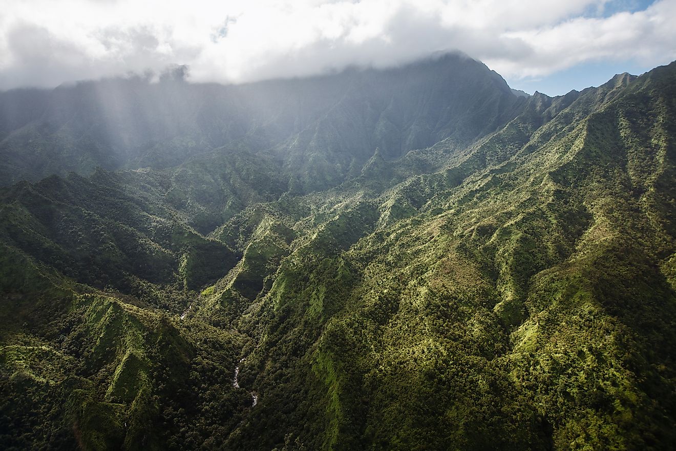
Haleakalā reaches 10,023 feet above sea level on Maui, yet most of East Maui Volcano lies beneath the Pacific. The ocean floor around the volcano lies close to 19,680 feet below sea level. Combined with the summit, that produces roughly 29,700 feet of vertical height. Other measurements use a more generalized seafloor depth and give a figure closer to 28,000 feet, so the exact total should be treated as approximate. About 97 percent of East Maui Volcano's volume lies below sea level. Repeated basaltic eruptions built the broad shield, while erosion later cut large valleys into its upper slopes. The huge depression near the summit is therefore more complicated than a simple volcanic crater. What nearly all visitors see is the upper third of a volcanic structure that extends several miles beneath the ocean.
Denali, Alaska

Denali reaches 20,310 feet above sea level, the highest summit in North America. Its surrounding lowlands are much lower, and the mountain's base sits near 2,000 feet above sea level. The difference gives Denali roughly 18,000 feet of local relief.
The figure is especially striking because nearly the entire rise is exposed above land. Denali rises approximately 18,000 feet above its base. The 20,310-foot summit elevation comes from a 2015 GPS survey conducted by the U.S. Geological Survey, the National Geodetic Survey, and the University of Alaska Fairbanks.
The steep north side is another measure of that scale. The Wickersham Wall on Denali's north face rises about 14,000 feet above Peters Glacier. Snowfields and glaciers cover much of the mountain, while the Alaska Range around it remains considerably lower. Denali therefore has less total base-to-summit height than Hawaii's submerged volcanoes, but it has one of the greatest land-based rises in the country.
Mount Saint Elias, Alaska

Mount Saint Elias reaches 18,008 feet on the Alaska-Yukon border. Because it stands just inland from the Gulf of Alaska, the mountain has unusually large relief. It rises to 18,008 feet above the coastal lowland around Icy Bay. Its summit lies only about 10 miles horizontally from the head of Taan Fjord, so the land rises sharply over a short distance. Unlike an inland summit sitting on a high plateau, Saint Elias begins beside country close to sea level. Large glaciers descend its slopes toward the coast, including ice systems connected with the surrounding Wrangell-St. Elias landscape. The mountain belongs to both the United States and Canada because the international boundary crosses its summit. Using the nearby coast as the practical low point gives it close to 18,000 feet of vertical relief, placing it among the strongest land-based candidates in North America.
Mount Fairweather, Alaska-British Columbia

Mount Fairweather stands about 15,300 feet above sea level along the Alaska-British Columbia boundary. It rises directly from sea level to its summit, an unusually clean base-to-summit comparison for a coastal mountain. It is the highest peak associated with Glacier Bay National Park and Preserve.
The surrounding landscape explains the sudden rise. Tidewater, deep valleys, glaciers, and high peaks sit packed into this narrow coastal region. Tectonic activity along the Pacific and North American plate boundary has helped build the mountains, while glaciers continue cutting deeply into them. Fairweather's summit therefore stands more than 15,000 vertical feet above nearby Pacific waters without requiring an arbitrary distant valley as its base. The measurement remains simpler than many inland relief estimates because sea level is a fixed reference immediately beside the range.
Mount Rainier, Washington

Mount Rainier's summit reaches 14,410 feet, yet there is no single obvious line around the volcano that marks its base. Nearby valley floors lie roughly 9,000 to 11,000 feet below the summit in places only a few miles away. The broader western lowlands sit lower still.
Rainier was built on an older mountainous foundation rather than a flat plain. The modern volcanic cone rises around 7,000 feet above that underlying terrain. Deep glacial valleys cut into the surrounding landscape, which makes local relief much larger when measurements begin on valley floors instead of the geological foundation.
More than two dozen named glaciers and perennial snowfields cover the mountain. Those glaciers have carved steep valleys while carrying rock away from the volcano for thousands of years. A traveler approaching from western Washington therefore sees a summit standing dramatically above much lower country, even though Rainier's numerical elevation remains well below Denali's.
Mount Shasta, California

Mount Shasta reaches about 14,162 feet in northern California. Much of the surrounding country sits near 3,000 to 4,000 feet, allowing roughly 10,000 feet of the volcanic complex to stand above nearby lower terrain. Unlike many Sierra Nevada summits, Shasta is not surrounded on every side by peaks of comparable height. Its broad lower slopes can be followed across miles of comparatively low country. Shasta ranks among the country's summits above 14,000 feet.
The precise elevation has changed as surveying methods improved. Older measurements placed Shasta higher before twentieth-century surveys corrected the figure. Those revisions changed the summit elevation, not the mountain's basic topographic setting. Even so, the isolated cone still rises close to 10,000 feet above portions of the surrounding lowlands.
Mount San Jacinto, California

Mount San Jacinto reaches 10,834 feet above sea level, but its eastern side rises directly above the low Coachella Valley. The peak stands about 10,000 feet above the desert floor, and its eastern escarpment is one of the steepest in the contiguous United States. The measurement is remarkable because nearly all of that relief is visible above land rather than hidden beneath water. Faulting along Southern California's active tectonic zone helped produce the abrupt mountain front, with the low desert basin sitting immediately beside much higher terrain. San Jacinto is a clear example of why summit elevation alone can miss an important part of a mountain's scale. Several peaks elsewhere in the United States reach greater elevations, yet their bases already lie thousands of feet above sea level. Here, the desert floor is a low starting point only a short distance from the summit.
Mount Whitney, California

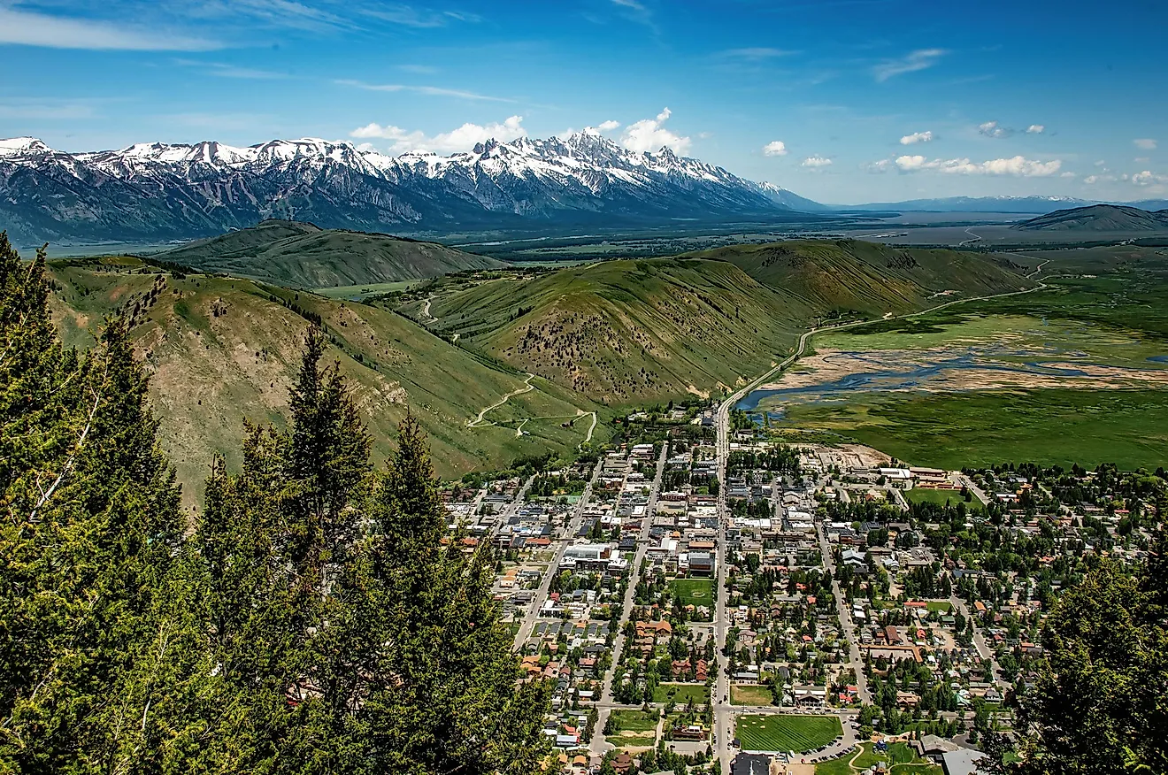
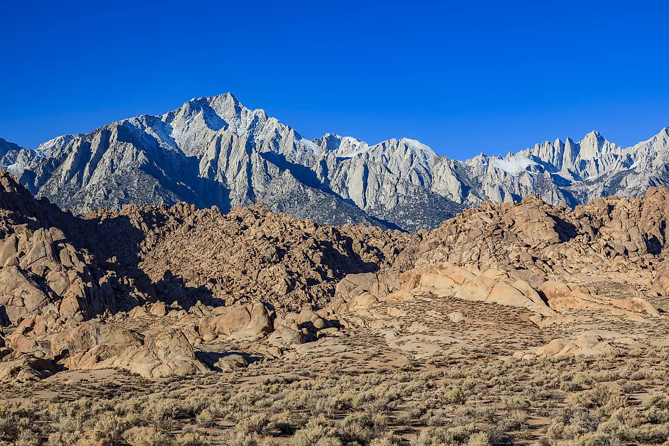
Mount Whitney reaches roughly 14,500 feet and is the highest summit in the contiguous United States. The eastern Sierra Nevada drops sharply toward Owens Valley, creating far more relief than the summit elevation alone suggests.
Whitney rises more than 3,000 meters, or about 9,840 feet, above Owens Valley. The steep difference reflects the geology of the eastern Sierra front, where uplift and faulting produced a high mountain block beside a much lower basin.
Whitney's measurement is less tidy than Mauna Kea's because no single contour marks the mountain's base. Neighboring Sierra peaks are also high, and the terrain changes substantially depending on which valley point is selected. The Owens Valley figure works best as a documented measure of local relief. It also explains why Whitney towers over the view from the east while still falling far short of Mauna Kea's roughly 33,500-foot seafloor-to-summit height.
Where a Mountain Begins Changes the Answer
These mountains fall into two groups. Hawaii's volcanoes rank highest by the base-to-summit measure because most of their bulk sits on the Pacific floor, far below the surface. For the land peaks, the measure is exposed rise instead. Denali and Mount Saint Elias each rise roughly 18,000 feet from nearby lowlands, while Mount San Jacinto and Mount Whitney stand close to 10,000 feet above the basins at their feet. Summit elevation and base-to-summit height are two different measurements, not one ranking. The difference between them is largest where most of a mountain lies underwater, or where its base sits on a low floor close by.