The North American Lakes That Have Lost the Most Water
Across the American West, the lakes and reservoirs that supply water to tens of millions of people are holding a fraction of what they once did. A megadrought that set in around 2000, ranked as the driest stretch the region has seen in roughly 1,200 years, has combined with decades of heavy diversion to drain them. Two of the largest, Lake Mead and Lake Powell, have hovered near a quarter of capacity through the mid-2020s. Others, including Utah's Great Salt Lake and Nevada's Walker Lake, have retreated so far that dry lakebed now stretches for miles. The five bodies of water below have lost the most, measured by the sheer share of water gone.
Lake Powell

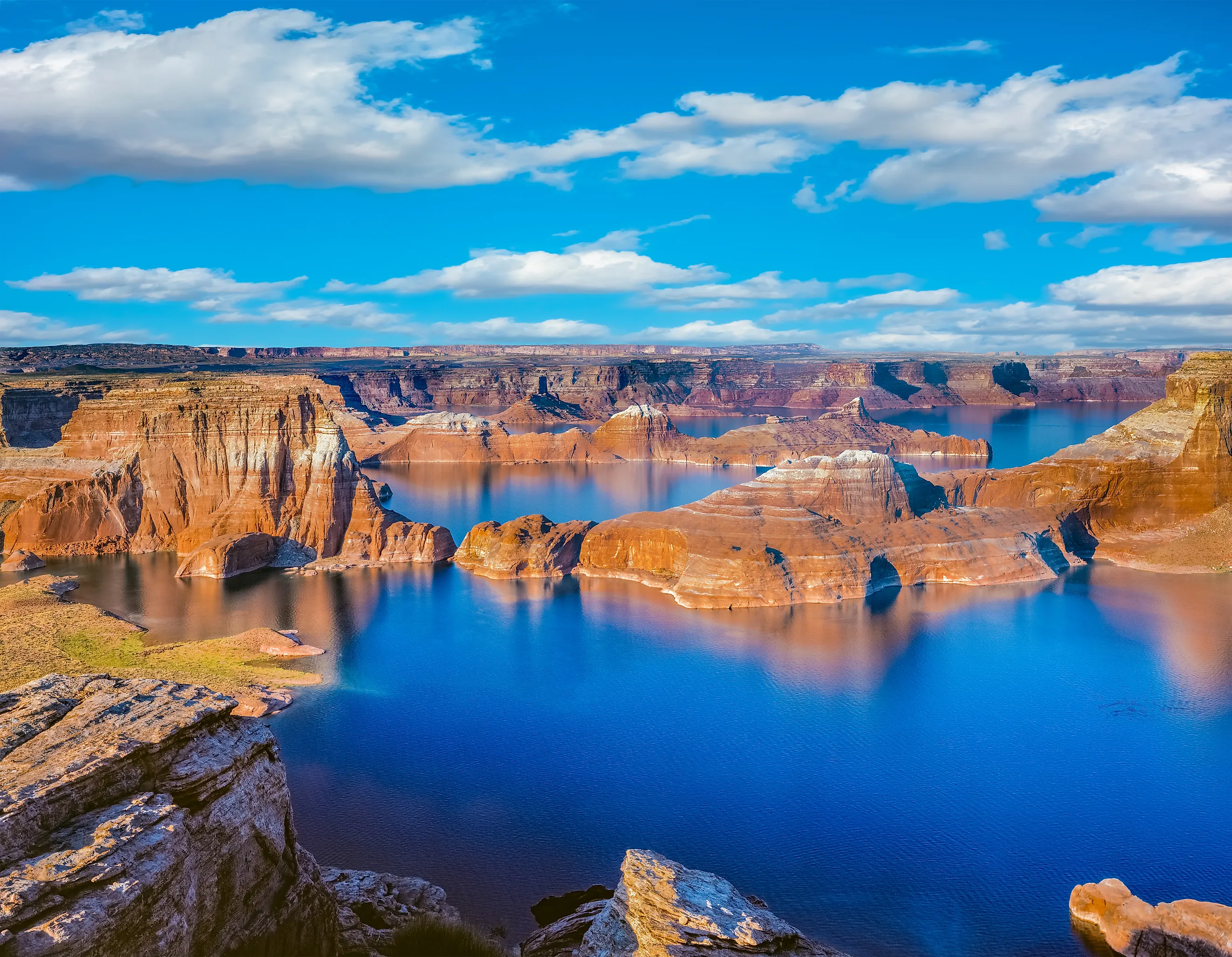
Glen Canyon Dam closed its diversion tunnels in March 1963, and the Colorado River began backing up behind it to form Lake Powell, the second-largest reservoir in the United States. The reservoir took 17 years to fill, first reaching its full pool of 3,700 feet in June 1980. At capacity it runs about 186 miles long, holds roughly 25 to 26 million acre-feet of water, and carries close to 2,000 miles of shoreline threading into more than 90 side canyons. For decades it drew houseboats and summer crowds to the Glen Canyon National Recreation Area, established in 1972.
The decline traces to two forces working together. The post-2000 megadrought cut the Rocky Mountain snowmelt that feeds the reservoir, while the seven Colorado River basin states, Colorado, Utah, Wyoming, New Mexico, Arizona, Nevada, and California, kept drawing their allotted shares. The reservoir hit a modern low of 3,519.92 feet in April 2023, sitting near a quarter of its capacity. To slow the fall, federal managers have released water downstream from upstream reservoirs such as Flaming Gorge, and the basin states have negotiated reductions in their draws. Recovery depends heavily on the Colorado snowpack that supplies most of the inflow.
Lake Mead

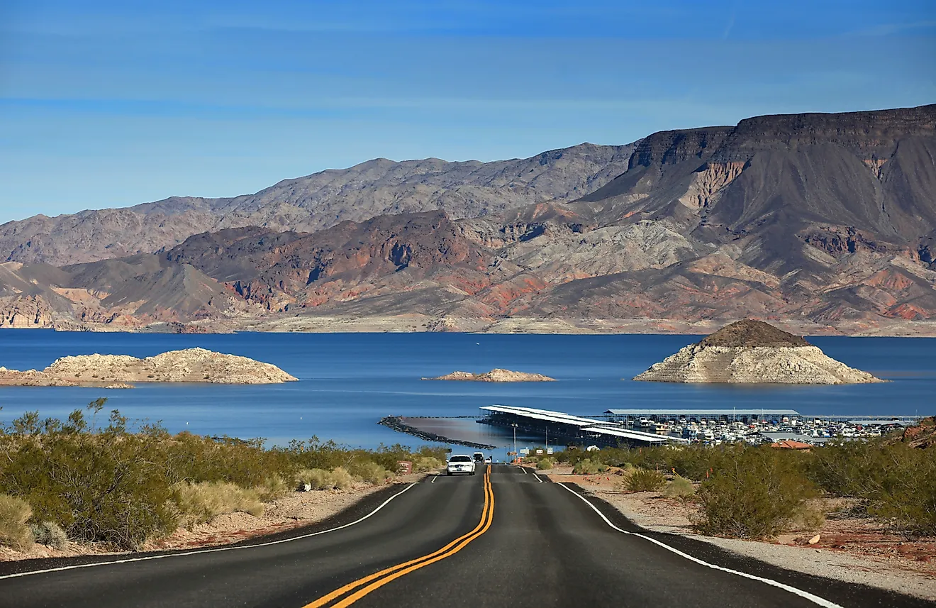
Completed in 1936, Hoover Dam impounded the Colorado River to create Lake Mead, which became the largest reservoir in the country by capacity. Designed to hold nearly 29 million acre-feet and stretching about 112 miles upstream, the reservoir sits roughly 25 miles east of Las Vegas and supplies water to that city along with Phoenix, Los Angeles, and San Diego. For much of the 20th century it served as the storage buffer for the entire Lower Colorado River basin.
The same drought that drained Lake Powell has pulled Lake Mead down since 2000. Surface levels have fallen more than 150 feet from their historic high, exposing the pale mineral "bathtub ring" along the shoreline and reaching record lows in 2022. Population growth compounded the problem: the small towns Lake Mead was built to serve grew into metropolitan areas drawing millions of residents. Utility districts, farmers, tribal nations, and state and federal agencies have since worked to curb irrigation, expand water recycling, and shift toward drought-tolerant landscaping in an effort to stabilize the reservoir.
Great Salt Lake

The largest saltwater lake in the Western Hemisphere sits just outside Salt Lake City as the shrunken remnant of a far larger Ice Age lake. Ancient Lake Bonneville covered much of the region until the climate warmed roughly 14,000 years ago; as the basin dried, evaporation concentrated the salts left behind and the water retreated to what remains today, a terminal lake fed by the Bear, Weber, and Jordan rivers with no outlet but evaporation. By the late 1800s the buoyant, salty water had made floating a popular pastime alongside sailing and birdwatching.
Reduced streamflow and rising temperatures drove the lake to a record-low elevation in 2022, when the surface fell to 4,190.1 feet at the Saltair gauge, the lowest since measurements began in 1847. The lake has lost roughly half its surface area from its 20th-century average and about two-thirds of its volume from a 1980s peak, exposing lakebed that can generate toxic, arsenic-laced dust. Utah has responded by acquiring water rights, restoring wetlands, and pressing residents to cut lawn irrigation. Wet winters in 2023 and 2024 lifted the surface, but the lake remains far below a healthy level.
Salton Sea

California's largest lake by surface area exists because of an engineering accident. In 1905, Colorado River floodwaters breached an irrigation canal under construction in the Imperial Valley and poured into the Salton Sink for roughly two years before crews sealed the channel. Farm drainage from the surrounding valleys sustained the resulting lake through the decades that followed, keeping a body of water alive in a basin that would otherwise have evaporated within a few years.
By the 1950s the Salton Sea had become a resort destination, drawing water-skiers, anglers, and boaters to what promoters billed as "California's Riviera." The reversal was steep. Evaporation concentrated the salt, agricultural runoff carrying fertilizers and pesticides fouled the water, fish die-offs became common, and a sulfurous odor drove tourism away. As farms grew more efficient and water transfers shifted supplies toward coastal cities, inflows dropped sharply. The lake's surface has shrunk to roughly 340 square miles, and its volume has fallen by millions of acre-feet since the early 2000s. California has opted not to restore it to its former size, focusing instead on dust suppression and habitat projects along the exposed shoreline.
Walker Lake

Few lakes on the continent have lost a larger share of themselves than Walker Lake, a terminal lake in west-central Nevada that has surrendered roughly 90 percent of its volume. It sits in Mineral County at the base of the Wassuk Range, the surviving remnant of the vast Ice Age Lake Lahontan, fed by the Walker River and Sierra Nevada snowmelt with no outlet other than evaporation.
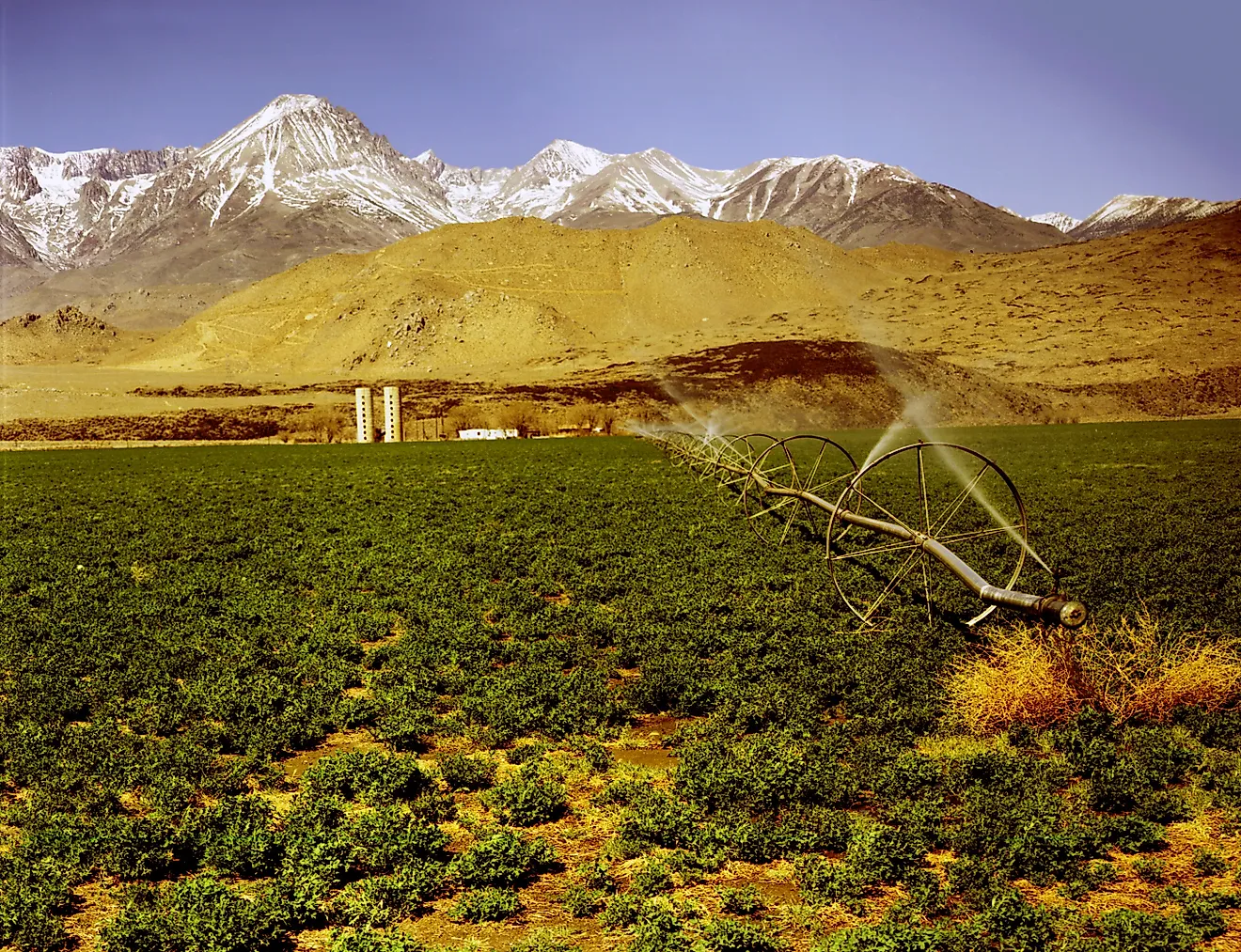
The decline began around 1882, when farmers and ranchers upstream started diverting the Walker River to irrigate alfalfa and pasture. Over the following century the surface elevation dropped about 150 feet, and storage fell from roughly 9 million acre-feet to under 2 million. As the water shrank, dissolved solids concentrated to levels that threaten the Lahontan cutthroat trout, a species listed as threatened under the Endangered Species Act. The Walker Basin Restoration Program has since acquired water rights from willing sellers to return flows to the lake, and heavy snow years have brought temporary relief, though the long-term trend remains downward.
Shrinking, With a Narrow Path Back
These five bodies of water sit at different points on the same trajectory. The Colorado River reservoirs, Powell and Mead, decline because demand across a fast-growing region outpaces a shrinking river. The terminal lakes, the Great Salt Lake and Walker Lake, dry because upstream diversions leave too little to offset evaporation. The Salton Sea, an accident of the early 20th century, was never meant to last and is being managed toward a smaller, more stable footprint. What they share is a common cause in reduced inflow and warming temperatures, and a narrow, expensive path back that runs through water rights, conservation, and the snowpack each depends on. Whether these lakes stabilize will hinge on how quickly the region matches its water use to what a warmer climate actually delivers.