The Largest Glacial Lakes In The United States
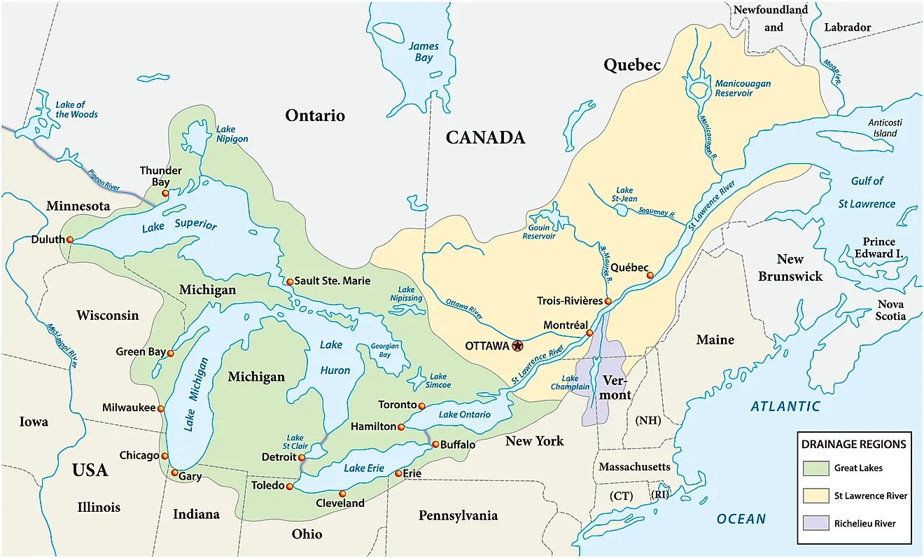
Glaciers created some of the largest natural lakes in the United States. During the Pleistocene era, massive ice sheets carved and deepened basins or left behind debris that held the water in place.
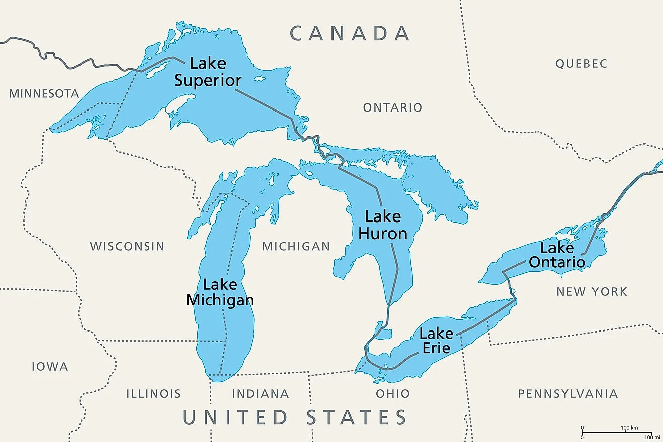
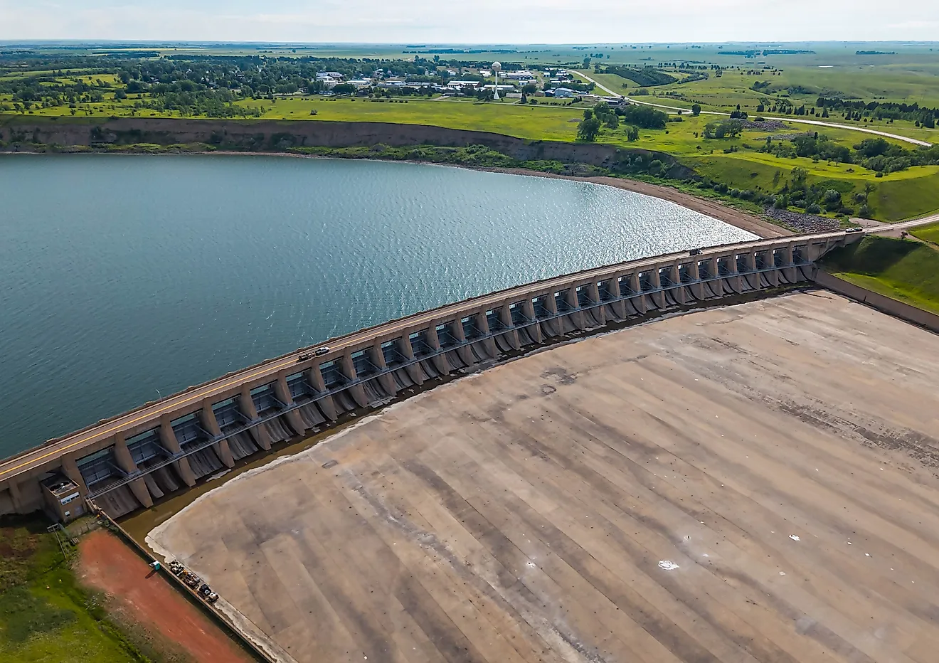
These bodies of water, five of the Great Lakes followed by Lake of the Woods and Iliamna Lake, include only lakes formed mainly by glaciers and their deposits. This rules out the Great Salt Lake, which is filled by rainfall in an ice age basin, and Lake Oahe, a dammed river reservoir.
Ranked from largest to smallest by surface area, these glacial lakes supply drinking water to millions of people and support major fishing and shipping industries.
Lake Superior

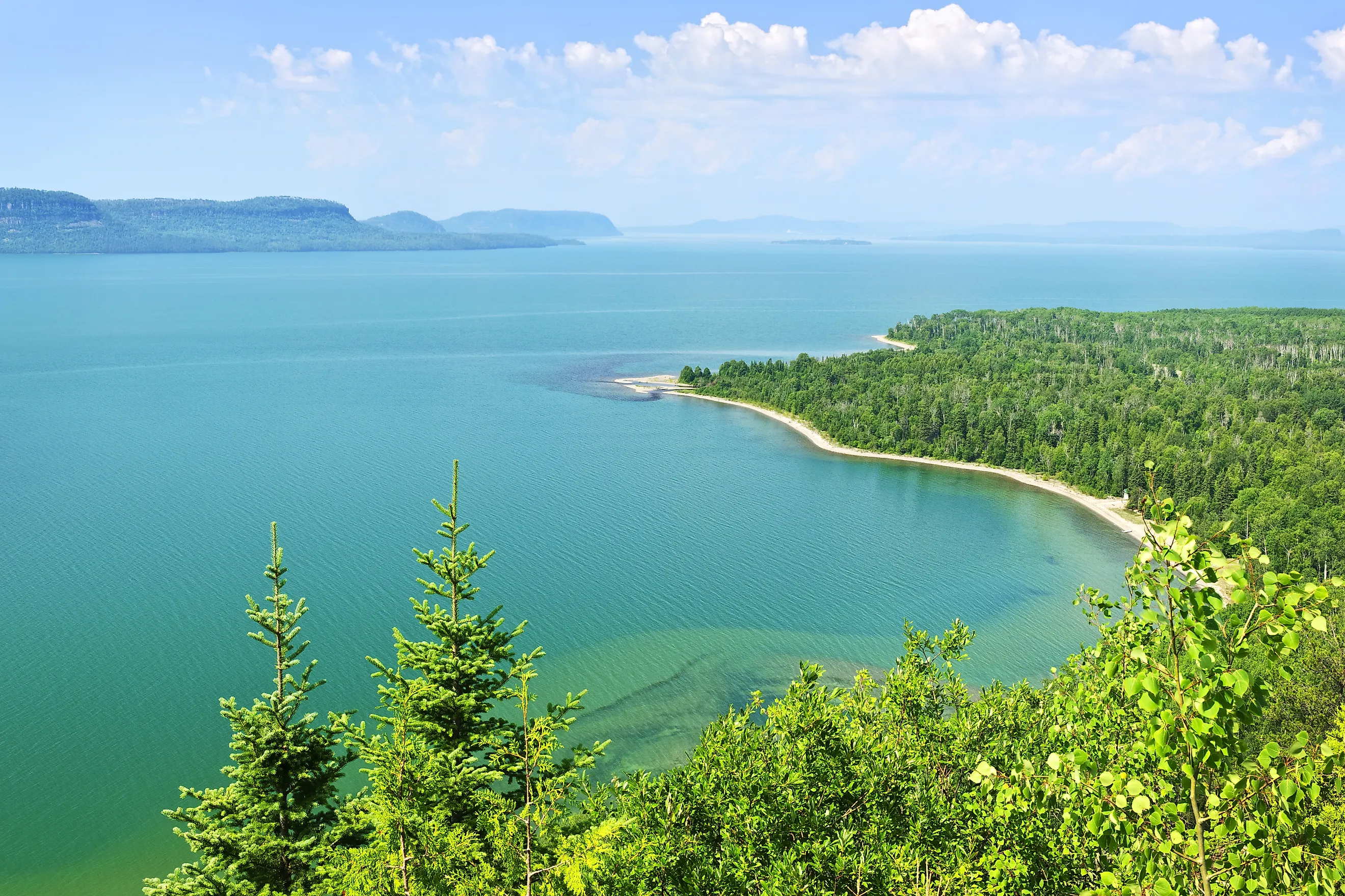
Lake Superior at Pictured Rocks National Lakeshore in Munising, Michigan
Lake Superior holds more water than the other four Great Lakes combined, a volume built up as the Laurentide Ice Sheet advanced and retreated across the same basin repeatedly over roughly one million years before its final retreat about 10,000 years ago. It covers 31,700 sq mi (82,103 km²), making it the largest freshwater lake on Earth by surface area, and reaches a maximum depth of 1,333 ft (406 m). Isle Royale National Park, reachable only by boat or seaplane, and the Apostle Islands sea caves, which become accessible on foot when the lake freezes in cold winters, both sit along its shoreline.
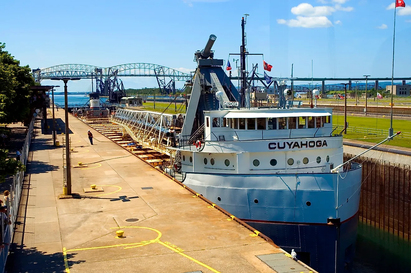
Water takes an average of 191 years to cycle through the lake, a statistical average of how long a drop of water lingers in the basin before draining out through the St. Marys River, driven by the lake’s enormous volume against its comparatively slow outflow. That’s the longest retention time of any Great Lake, and it keeps the lake’s temperature low even in July and August. That cold water has preserved more than 350 documented shipwrecks on the lake floor, including the SS Edmund Fitzgerald, which sank in a November storm in 1975.
Lake Huron

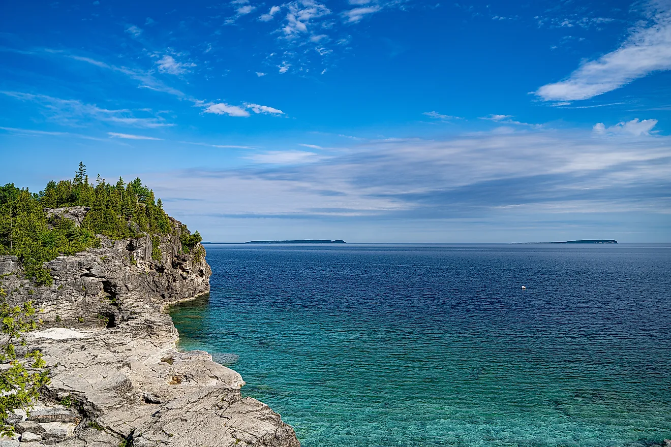
Islands in Georgian Bay (Lake Huron), Ontario.
Retention time in Lake Huron runs 22 years, faster than Superior’s 191 years but slower than the turnover downstream in Erie and Ontario. The Saginaw Lobe, an ice tongue that split off from the main body of the Laurentide Ice Sheet, retreated north out of the Huron trough and exposed bedrock the ice had scoured for thousands of years. The lake connects to Lake Michigan through the Straits of Mackinac, a channel 5 mi (8 km) wide and 295 ft (90 m) deep, and its mainland shoreline stretches 1,850 mi (2,980 km), not counting the coastlines of its islands.
Manitoulin Island, the largest freshwater island on Earth at 1,068 sq mi (2,766 km²), rises from Lake Huron alongside roughly 30,000 smaller islands concentrated mostly in the North Channel, more islands than any other Great Lake holds. The lake stretches across 23,000 sq mi (59,570 km²), ranking it second among the Great Lakes and third-largest freshwater lake in the world, both by surface area. Its maximum depth bottoms out at 750 ft (229 m), and Georgian Bay forms a large, nearly enclosed arm along its northeastern edge, separated from the main lake by the Bruce Peninsula and Manitoulin Island itself.
Lake Michigan

Chicago skyline aerial drone view from above, lake Michigan
Only one Great Lake sits entirely inside the United States. Lake Michigan is bordered by Wisconsin, Illinois, Indiana, and Michigan without touching Canadian shores. Its basin was carved by the Michigan Lobe, a separate arm of the Laurentide Ice Sheet that pushed south along its own path. It spans 22,400 sq mi (58,000 km²) and drops to a maximum depth of 925 ft (282 m), just short of Lake Superior’s. Chicago and Milwaukee anchor its western shoreline, while Sleeping Bear Dunes National Lakeshore, the largest freshwater perched dune system in the world, rises along its eastern side in Michigan.
Despite Lake Huron’s larger surface area, Lake Michigan holds more total water: 1,180 cu mi (4,918 km³) against Huron’s 850 cu mi (3,540 km³). The difference comes down to average depth, 279 ft (85 m) versus Huron’s 195 ft (59 m). The Fox and Grand rivers feed the lake before its water exits eastward through the Straits of Mackinac.
Lake Erie

Lake Erie Coastline, Ashtabula, Ohio.
The lake borders Ohio, Pennsylvania, New York, Michigan, and Ontario. The Ohio Department of Natural Resources estimated Lake Erie’s walleye population at roughly 180 million fish in 2025, a record high that has earned the lake its nickname, the Walleye Capital of the World. Water moves through Lake Erie in just 2.6 years on average, the fastest turnover of any Great Lake.
At just 62 ft (19 m) average depth, Lake Erie is the shallowest of the five Great Lakes, compared to Superior’s 483 ft (147 m) average. The Huron-Erie Lobe that carved this basin was thinner and moved faster than the lobes that dug Superior’s much deeper trench, cutting a shallower basin as a result. Its surface measures 9,910 sq mi (25,667 km²), and its deepest point reaches only 210 ft (64 m), a fraction of what the other Great Lakes reach. That shallow profile makes it the warmest Great Lake in summer and the first to freeze in winter.
Lake Ontario
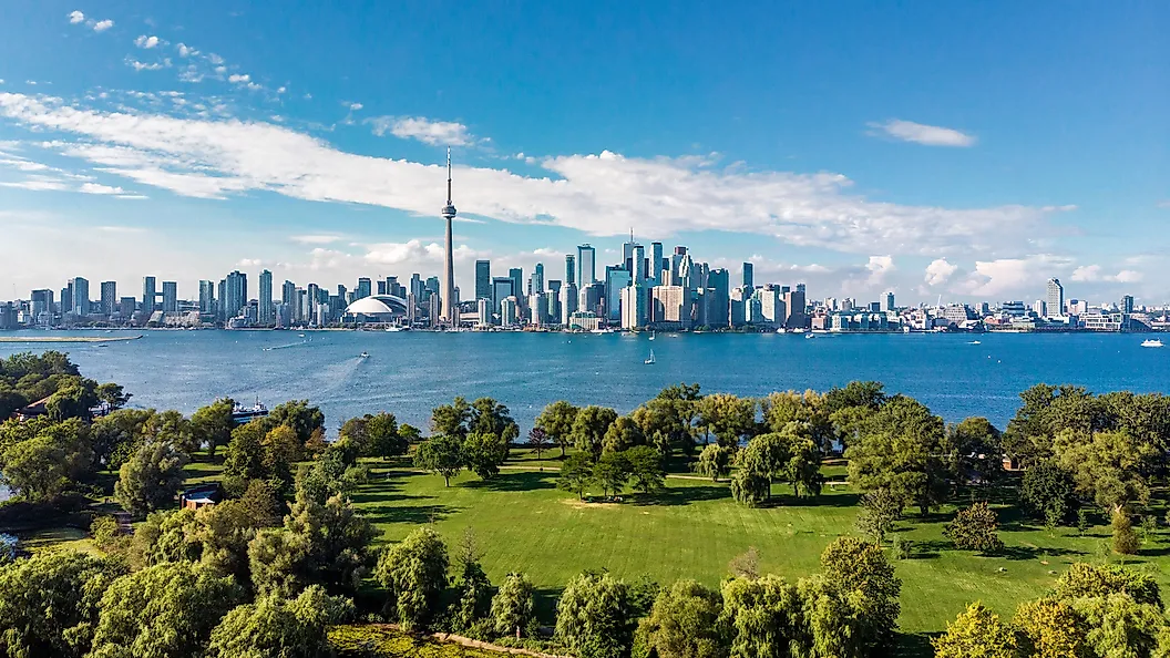
Skyline of Toronto, Canada along the shores of Lake Ontario.
Smallest of the Great Lakes by surface area, Lake Ontario still plunges to 802 ft (244 m), deeper than Lake Huron and nearly four times Erie’s maximum depth. The lake totals 7,340 sq mi (19,011 km²) and holds 391 cu mi (1,631 km³) of water, nearly four times Erie’s volume despite the smaller surface. Its basin follows an ancient river valley cut into sedimentary bedrock roughly 440 million years old, later widened and deepened as the Laurentide Ice Sheet pushed through the same course during the last glaciation.
Local alpine glaciers flowing down from the Chigmit Mountains and the Alaska Range cut Iliamna’s basin, a different mechanism than the Laurentide Ice Sheet that carved the Great Lakes and Lake of the Woods. The advances, part of a sequence geologists call the Brooks Lake Glaciation, retreated from the basin roughly 10,000 to 12,000 years ago.
The Niagara River and Niagara Falls feed Lake Ontario with water from Lake Erie, which then exits north through the St. Lawrence River toward the Atlantic. The lake replaces its entire volume about every six years, the shortest residence time among the deep Great Lakes. Toronto and Rochester line its shores, and its eastern outlet flows past the Thousand Islands region before joining the St. Lawrence.
Lake of the Woods

Aerial view of Lake of the Woods Islands in Canada.
Lake of the Woods is a surviving fragment of Glacial Lake Agassiz, an immense proglacial lake, one that pooled directly against the edge of the ice sheet. It was dammed by the Laurentide Ice Sheet, which once covered a larger area than all five modern Great Lakes combined before draining catastrophically around 8,000 years ago. Today’s lake runs to about 1,679 sq mi (4,350 km²) in total, spanning Minnesota, Ontario, and Manitoba, and goes no deeper than 210 ft (64 m) at its maximum. It holds roughly 4.7 cu mi (19.4 km³) of water spread across more than 14,000 islands.
The Northwest Angle, a small piece of Minnesota that juts into the lake, is one of the only practical exclaves in the lower 48 states reachable by land solely through Canada. Houseboat trips run through the summer, and the lake freezes thick enough by January to support ice fishing villages that draw anglers chasing walleye and muskie.
Iliamna Lake

Aerial view over Iliamna Lake, Alaska.
Iliamna Lake is home to one of only two freshwater harbor seal populations of that species in the world, a colony NOAA estimates at roughly 400 animals remain in the lake throughout the year, despite an open 75-mile route down the Kvichak River to the ocean. It covers 1,012 sq mi (2,622 km²), making it the largest lake in Alaska, stretching 77 mi (124 km) long and up to 22 mi (35 km) wide. Its bottom descends to 988 ft (301 m) at its deepest, and it holds 27.7 cu mi (115.5 km³) of water.
Local alpine glaciers carved Iliamna’s basin, flowing down from the Chigmit Mountains and the Alaska Range during a series of ice advances known as the Brooks Lake Glaciation. The last of these glaciers retreated from the basin roughly 10,000 to 12,000 years ago. The Kvichak River drains the lake into Bristol Bay, supporting the largest sockeye salmon run in the world. The lake sits between two national parks, Lake Clark to the north and east and Katmai to the south and east, and can only be reached by chartered bush plane or boat. Local legend describes a creature called Illie living in its depths, a story Alaska Native communities have passed down for generations.
Ice Carved Basins
Moraines still mark the shoreline at Lake of the Woods, while smooth granite lines much of Lake Superior’s north shore. The same ice sheet also deepened the connected basins of Huron, Michigan, Erie, and Ontario. Superior reaches more than 1,300 feet deep, and Iliamna drops close to 1,000 feet despite its smaller surface area. Their steep shorelines, cold water, and immense basins remain evidence of the glaciers that carved and dammed them thousands of years ago.