The Lakes Formed by the Last Ice Age
Stand on the shore of Lake Superior or Loch Ness and you are looking at the work of ice that vanished thousands of years ago. During the last glacial period, sheets more than a mile thick ground across the northern continents, gouging out troughs and scooping hollows into solid bedrock. When the climate warmed and the ice pulled back, meltwater pooled in those depressions and stayed. The nine lakes below owe their existence to that long freeze and the slow thaw that followed. They span three continents, and each one carries a different signature of how glaciers reshape a landscape.
The Great Lakes

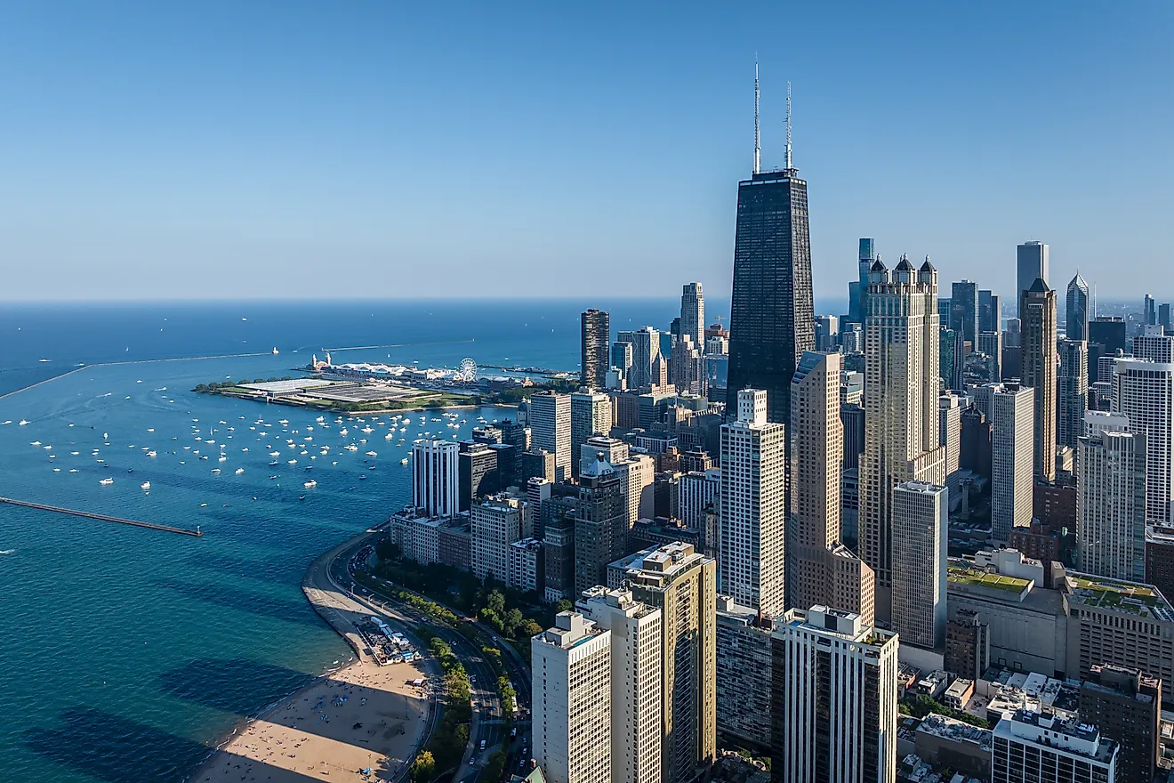
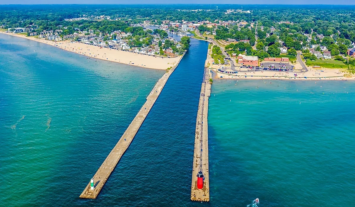
The five Great Lakes hold about 84% of North America's surface fresh water, and every drop of that sits in a basin the ice left behind. At the height of the last glaciation, the Laurentide Ice Sheet buried most of Canada and the northern United States under ice roughly a mile deep. Its sheer weight, combined with the slow grinding of its advance, scoured out the broad hollows the lakes now fill. Around 14,000 years ago the front began retreating northward, and meltwater flooded the sediment-rich troughs it exposed. The result is the largest group of freshwater lakes on Earth by surface area, a system so vast that Lake Superior alone holds more water than the other four combined.
The Finger Lakes

Look at a map of upstate New York and you will see a row of long, thin lakes lying almost parallel, like scratches raked into the ground. That is close to what happened. The valleys began as north-flowing stream channels millions of years ago, but their present shape came from the same Laurentide Ice Sheet that carved the Great Lakes. Around the Last Glacial Maximum, roughly 21,000 years ago, tongues of ice pushed south through those existing valleys and deepened them dramatically. As the glaciers stalled and withdrew, they dumped ridges of rock and gravel called recessional moraines across the valley floors. Those moraines acted as natural dams, trapping meltwater and drainage behind them until the valleys brimmed into the eleven lakes recognized today.
Lake Champlain

Lake Champlain begins with a wound in the bedrock. About 200 million years ago, as the continents pulled apart, a block of crust dropped between two fault lines and left a deep rift running north to south. Pleistocene glaciers later flowed over that rift under roughly a mile of ice, dragging embedded rock and boulders that scraped the basin deeper. What came next set Champlain apart from the others here. The ice had pressed the land so far down that when it melted, the crust sat below sea level, and the Atlantic poured in to form the salty Champlain Sea. Over the following centuries the freed land rebounded upward, eventually sealing off the ocean. Rain and river runoff gradually flushed the salt away, leaving the freshwater lake that borders Vermont and New York.
Lake Geneva

Cross the Atlantic to the northern edge of the Alps and you reach Lake Geneva, among the largest lakes in Western Europe, cradled between Switzerland and France. The Rhone Glacier built it. As the ice flowed down out of the mountains, it planed and gouged the ground beneath, and its meltwater eventually filled the crescent it left behind. What makes Geneva unusual is that it is really three lakes in one, each shaped by a different force. The Haut Lac at the eastern end was built up by river sedimentation. The Grand Lac, the widest and deepest stretch, sits in a basin created by tectonic folding. The narrow, shallow Petit Lac at the western end was scoured out purely by glacial erosion, a reminder that the ice was only one sculptor among several.
Lake Constance

Lake Constance is not a single body of water but three connected ones, strung along the Rhine where Germany, Switzerland, and Austria converge. Boaters cross between the Obersee, or upper lake, the Untersee, or lower lake, and the channel called the Seerhein that links them. The borders running through the water have never been fully agreed on by the three countries. The Rhine Glacier did the excavating during the last glacial period, cutting downward into the bedrock and lowering the floor as it advanced. It also hauled sediment out of the Alps and dropped it into the basin, a process that has slowly filled and shrunk the lake over millennia. By surface area, Constance ranks as the third largest freshwater lake in Central and Western Europe, behind Lake Geneva.
Loch Ness
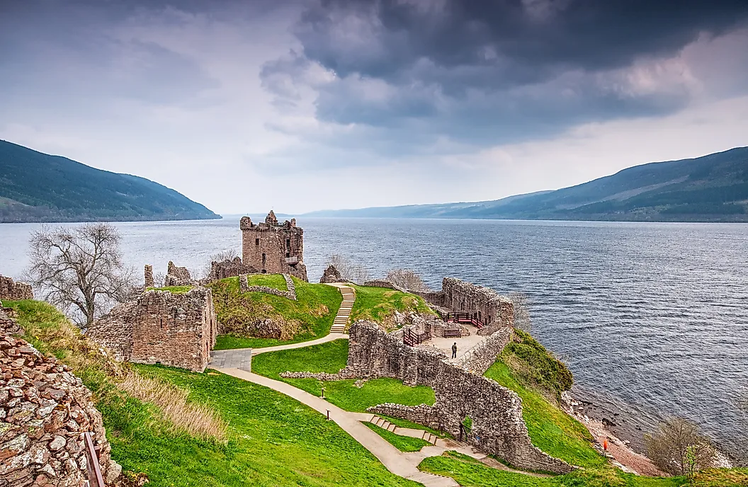
Scotland's most famous loch sits directly on a fracture in the Earth's crust. Loch Ness lies along the Great Glen Fault, a fault line that slices clean across the Highlands, and glaciers followed that line of weakness like water finding a groove. Advancing ice bit deep into the fractured rock, carving both the Great Glen itself and the steep-walled basin that now holds the loch. The finished lake stretches about 22.5 miles (36.2 km) but only 1.7 miles (2.7 km) across at its widest. It holds more water than any other lake in Great Britain, thanks to its depth, though at 755 feet it ranks second-deepest in Scotland behind Loch Morar. The monster stories came much later. St. Columba's biographer recorded the first account in the 7th century, thousands of years after the ice finished its work.
Windermere

Windermere threads through the fells of Cumbria as a classic ribbon lake, long and slender in a way that reveals exactly how it formed. It is the largest lake in England by length, area, and volume, even though it is dwarfed by Loch Ness to the north. The present lake filled in as the British and Irish Ice Sheet retreated between roughly 17,000 and 14,700 years ago, drowning a steep-sided river valley that earlier glaciations had already deepened. One quirk sets it apart: it has two distinct basins with different geology beneath them. Hard volcanic rock floors the northern basin, while softer shale underlies the south. Eighteen islands dot the water, and the largest of them, Belle Isle, remains in private hands to this day.
Lake Saimaa
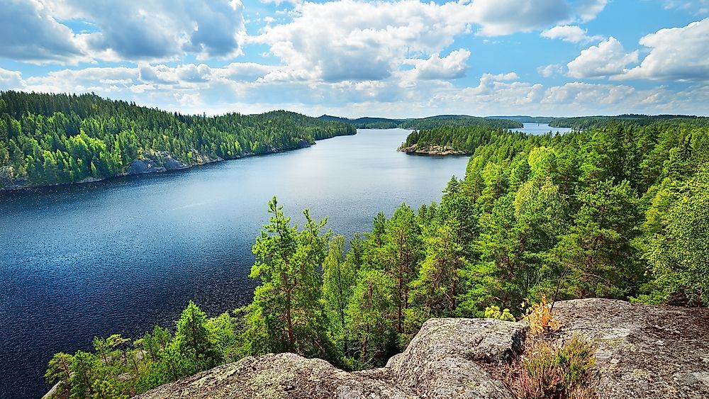
Deep in the Finnish Lakeland of the country's southeast lies Saimaa, a maze of interconnected basins and channels rather than one open expanse. The continental ice sheet did the groundwork, scouring and fracturing the bedrock and cutting the deep channels that thread the region. As the ice withdrew, long terminal moraines known as the Salpausselka ridges were laid down and functioned as natural dams, penning back the glacial meltwater. Saimaa was once far larger, spreading across nearly 3,500 square miles (9,000 sq km). Then, about 6,000 years ago, an abrupt discharge broke through a new outlet and drained much of it, leaving behind extensive wetlands. Today it covers roughly 1,652 square miles (4,279 sq km) and reaches a maximum depth of 282 feet (86 m), still the largest lake in Finland.
Lake Vattern

Vattern breaks the pattern of this list, because glaciers only finished a job that began hundreds of millions of years earlier. The lake occupies a tectonic graben, a long trench formed when crustal blocks slipped apart roughly 700 to 800 million years ago. Ice sheets came and went across it many times over Earth's history, and glacial striations gouged into the basin still record where they dug in. The lake in its current form was left behind by the receding Scandinavian glacier, which for a time made Vattern a minor bay of the vast Baltic Ice Lake before uneven land uplift isolated it. That rebound has not stopped. Vattern is still tilting slowly southward, gaining about 0.039 inch (1 mm) of tilt each year.
Ice That Never Fully Left
The last glacial period ended thousands of years ago, yet its handiwork is still filling with rain and snowmelt every season. The nine lakes here were carved on three continents by different ice sheets working different rock, from the fault-line trench beneath Loch Ness to the sediment-built arm of Lake Geneva. Some, like Vattern, are still moving as the crust rebounds from a weight lifted long ago. Read together, they are less a collection of travel destinations than a record of one planetary event, written in water across the northern hemisphere.