8 Most Dangerous Hiking Trails in the US
"Dangerous" covers a lot of ground on a hiking trail. Sometimes it means a bear. Sometimes it means rock so rotten it crumbles in your hand a thousand feet up. Sometimes it just means a stream that was ankle-deep an hour ago and is now a wall of water. The eight US trails below all earn the label, but each earns it in a different way, and knowing which danger you are walking into is most of the battle. This is less a dare than a field guide to what actually goes wrong out here, and how to keep it from going wrong on you.
The Maze, Canyonlands National Park, Utah

The danger here is getting lost, and the reason is baked into the name. The Maze is a tangle of near-identical sandstone canyons in a remote district of Utah's Canyonlands, so far from anything that rangers advise carrying a week's worth of self-sufficiency and the skills to fix your own vehicle. There is no water, no cell signal, and no quick way out. Add flash floods that can fill a canyon in minutes and the desert's swing between brutal heat and overnight cold, and a wrong turn stops being an inconvenience and becomes a genuine emergency. Come with real map-and-compass ability, not a phone you are hoping keeps a signal, and far more water than feels reasonable.
Capitol Peak via the Knife Edge, Colorado

The danger here is exposure, concentrated into about 150 feet of rock. The Knife Edge is the crux of Capitol Peak, a Colorado fourteener whose only non-technical route still forces you across a ridge so narrow that many climbers straddle it and shuffle across on their hands. The drop on either side runs close to 2,000 feet. That single stretch has helped make Capitol one of the deadliest peaks in the country: by fatality-to-accident ratio it ranks at the very top, and in 2017 alone five people died here in the space of six weeks, most after straying off the standard route. This is a full mountaineering day of roughly 17 miles round trip, not an afternoon hike. Wear a helmet, learn the route cold, and turn around if the weather turns.
Huckleberry Lookout Trail, Glacier National Park, Montana

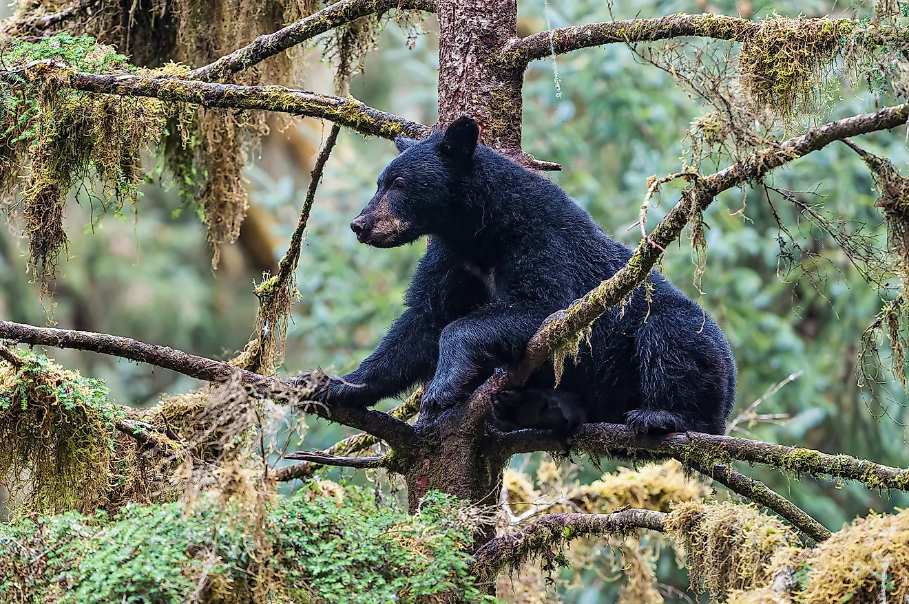
The danger here has fur and claws. The Huckleberry trail in Montana's Glacier National Park is a roughly 12-mile round trip with the usual mountain hazards of steep drop-offs and loose footing, but the reason it makes this list is the grizzly bears. The clue, again, is in the name: the slopes are thick with the huckleberries grizzlies gorge on, which means hiking straight into prime bear feeding grounds. The odds of an attack stay low if you behave sensibly, so make noise as you go, never linger among the berry bushes, and carry bear spray where you can reach it in a hurry, not buried in your pack. Give any bear a wide berth and the trail rewards you with some of Glacier's finest backcountry.
Maroon Bells, White River National Forest, Colorado

The danger here is the mountain itself falling apart under you. The Maroon Bells, two fourteeners in Colorado's White River National Forest, are the most photographed peaks in the state and among the deadliest, nicknamed the "Deadly Bells" after eight people died in a single 1965 season. The problem is the rock: a soft, downsloping, crumbling sedimentary mudstone that gives way without warning. A Forest Service sign at the trailhead puts it bluntly, warning that the rock "kills quickly and without warning" and calling the gullies death traps. The summit routes climb past 14,000 feet with heavy exposure and constant rockfall, so this is climbing terrain for experienced, helmeted mountaineers, not a casual hike. The valley below, with its mirror-lake views, is safe and rewarding; the peaks above are another matter entirely.
Angels Landing, Zion National Park, Utah

The danger here is the last half-mile, and it is a doozy. Angels Landing in Utah's Zion is a roughly 5.4-mile round trip that stays manageable until Scout Lookout. After that, the route follows a fin of rock barely a few feet wide with drops of around 1,000 feet on both sides, with bolted chains the only thing to hold. It is thrilling and it is genuinely lethal: 18 people have died here, the most of any trail in Utah. Two practical notes make all the difference. First, since 2022 you need a permit, awarded by lottery, to go past Scout Lookout, so sort that before you arrive. Second, never set foot on the chains in rain, wind, or crowds; wet sandstone and a queue are exactly when people fall. The payoff up top is a 360-degree sweep of Zion Canyon that few views on Earth can match.
Kalalau Trail, Na Pali Coast, Hawaii

The danger here is water, in two different forms. The Kalalau Trail runs 11 miles one way (22 round trip) along Hawaii's Na Pali Coast, and its beauty hides two serious killers. The first is the stream crossings, which can turn from a wade into an impassable torrent within minutes when rain falls in the mountains upstream, and hikers have drowned trying to cross back. The second is the ocean at the far end, where rip currents catch swimmers off guard. Between them sits Crawler's Ledge, a notorious cliff-cut section with a long drop to the surf. There is no cell service out here and rescue depends on the weather, so a helicopter may be days away. Check the forecast obsessively, respect a swollen stream by simply waiting it out, and carry a satellite communicator.
Camp Muir, Mount Rainier, Washington

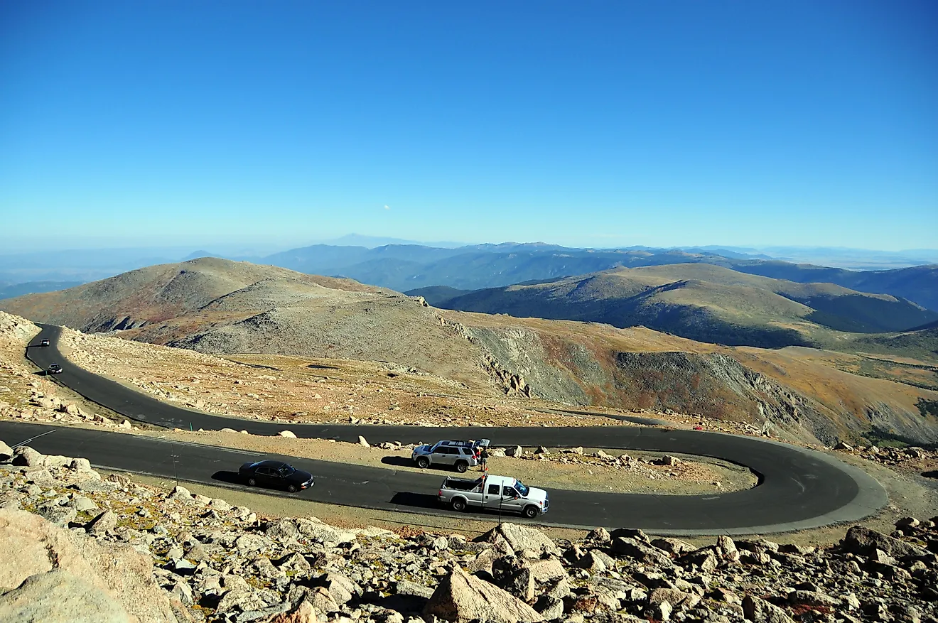
The danger here is that a day hike quietly turns into mountaineering. Camp Muir sits at 10,188 feet on Washington's Mount Rainier, and reaching it means climbing roughly 4,700 feet from Paradise, most of the upper half across the open Muir Snowfield. Two things make that snowfield treacherous. Rainier famously generates its own weather, and a clear morning can become a whiteout by afternoon. And when visibility drops, the natural tendency to follow the slope downhill can steer you straight onto the crevassed glaciers flanking the route. Thin air adds altitude sickness to the mix. Go only in a good forecast, carry a map, compass, and GPS with the bearings loaded, and know that the descent, on soft afternoon snow, is often the more dangerous half.
Mist Trail, Yosemite National Park, California

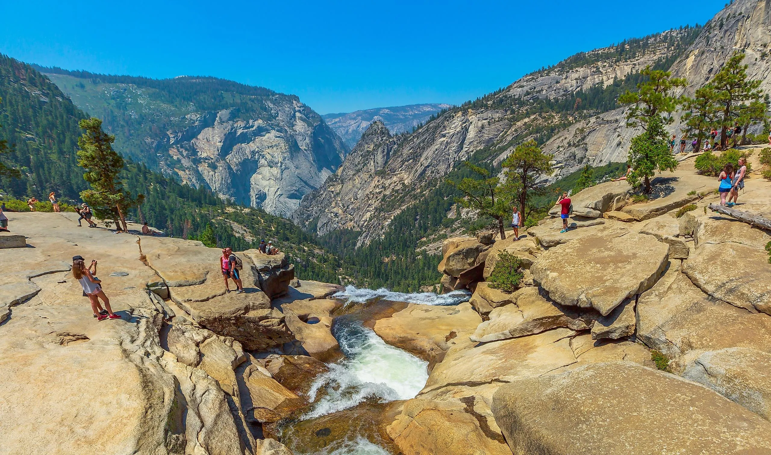
The danger here is exactly what makes the trail famous: the water. The Mist Trail in California's Yosemite climbs past Vernal and Nevada Falls, and the spray that gives it its name coats the granite steps in a slick film that has sent hikers sliding. The bigger hazard is the water itself. The Merced River above and between the falls moves faster and colder than it looks, and people who wade in or slip past the railings can be swept over the drop. The trail is deservedly one of Yosemite's most popular, and it stays safe with a few rules: wear real grip on your shoes, keep behind the railings, and never enter the river above a waterfall no matter how calm the pool appears.
The Common Thread
Line these eight up and the pattern is clear: almost none of them kill randomly. The Maze punishes poor navigation, Kalalau punishes ignoring the forecast, Angels Landing punishes the wet-rock shortcut, Camp Muir punishes the whiteout descent. The exceptions, the rotten rock of the Maroon Bells and the grizzlies of Huckleberry, demand respect rather than skill. In nearly every case the difference between a great day and a rescue call comes down to preparation, a check of the weather, and the discipline to turn around. Match the trail to your experience, tell someone your plan, and these become not death traps but some of the finest days you will ever spend outdoors.