The National Forest Closest To A Major City
Finding a truly remote wilderness in Southern California is surprisingly easy, even if you don't drive. Angeles National Forest directly borders the heavily developed foothills of greater Los Angeles, putting extensive public lands beside one of the nation's largest urban areas. Its roughly 700,000 acres give residents and tourists alike room to hike, camp, and explore beyond neighborhood parks without planning a distant vacation. And that closeness is central to the forest's importance, both as a recreation destination and as protected watersheds serving surrounding communities. For visitors to Los Angeles, it also adds a memorable mountain destination in a city better known for its beaches, film industry, and congested freeways, with enough variety for repeated visits, too.
Where the "City of Angels" Meets the Mountains

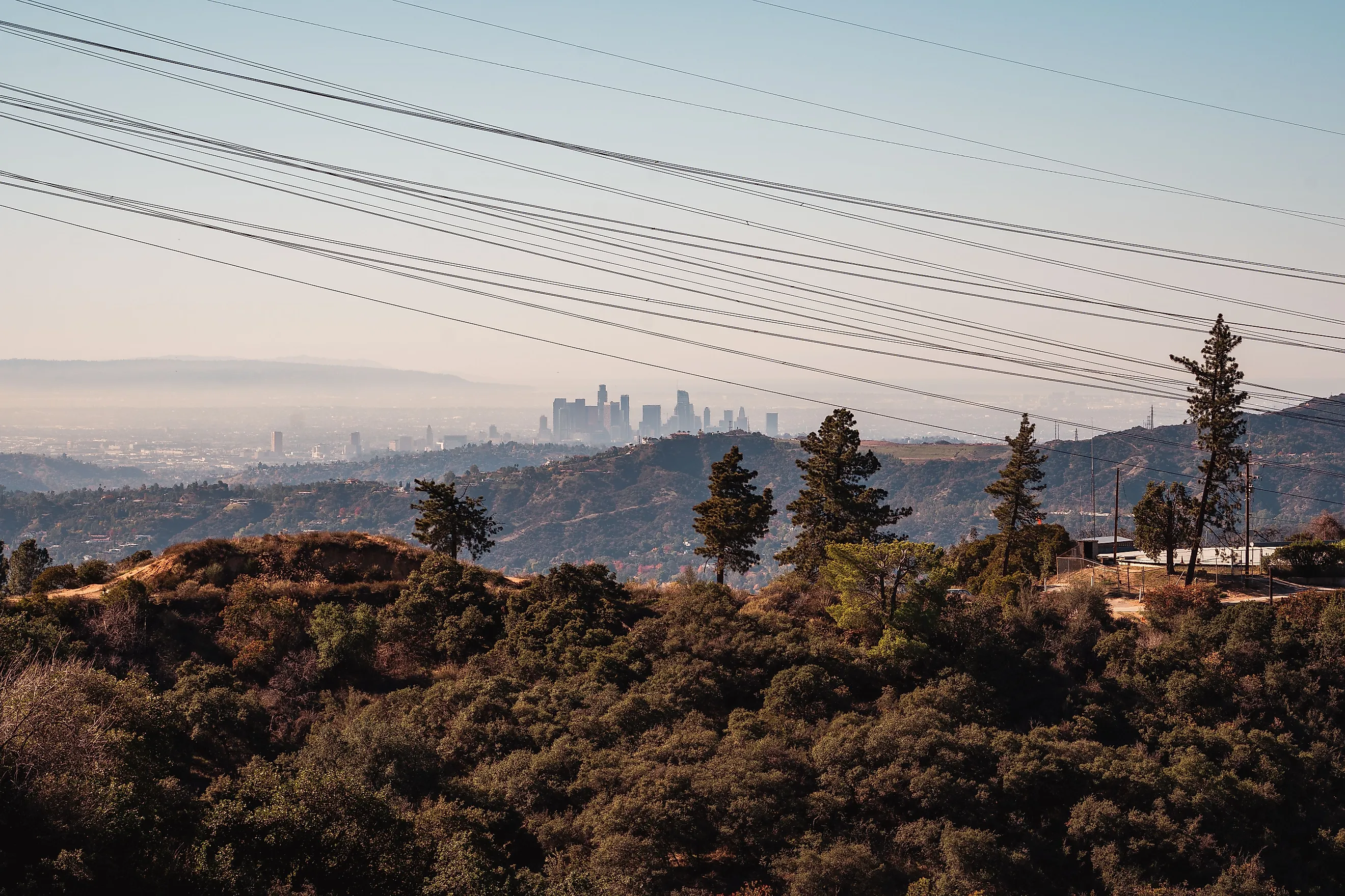
Angeles National Forest stretches across the San Gabriel and Sierra Pelona Mountains, mostly within Los Angeles County. Its southern foothills meet communities along the northern edge of the metropolitan area, while its northern slopes face the Antelope Valley. Most notably around Altadena, residential streets nearly touch canyon mouths leading into dense national forest land.
This proximity can make the mountains look deceptively easy to reach, although steep ridges separate neighboring canyons, and most local roads take indirect routes to trailheads. The highly scenic Angeles Crest Highway enters the mountains from La Cañada Flintridge, climbing above the developed foothills through a succession of twisty bends, slopes, and overlooks. As you get even farther into the forest, reaching a campground or summit can require considerably more driving and hiking than simply reaching the park boundary.
For visitors, the useful measure for planning out your day is understanding the complete journey to a specific destination, rather than the bird's-eye distance between Los Angeles and the nearest patch of federal land you'll see on a map. Depending on how deep you want to go, you might be surprised at the estimated drive time on whichever map app you're using.
How This Forest Was Established

These mountains were already Indigenous homelands for thousands of years, with longstanding connections to peoples including the Tongva, Tataviam, and Serrano. However, President Benjamin Harrison established the San Gabriel Timberland Reserve here on December 20, 1892, creating California's first federal forest reserve. This designation followed growing public concern about damage to mountain watersheds that supplied farms and settlements below, as protecting vegetation helped limit erosion and safeguard water sources as Southern California developed.
The reserve became San Gabriel National Forest in 1907, then took the "Angeles National Forest" name in 1908. Today, the USDA Forest Service manages the forest for recreation, watershed protection, wildlife habitat, and other uses. Much of its San Gabriel Mountains acreage also falls within the San Gabriel Mountains National Monument, originally established in 2014.
Local Terrain, Flora, and Fauna

Much of Angeles National Forest is covered in chaparral, with thick shrubs occupying its relatively dry slopes below higher pine and fir forests. Chamise and ceanothus plants can be seen dominating many hillsides, while oak woodlands and denser streamside vegetation add a number of more sheltered areas. Higher elevations are where taller trees such as Jeffrey pines, sugar pines, and white firs have a better time growing, with winter snowfall creating not only conditions very different from the foothills, but adding some much-needed moisture.
Mount San Antonio reaches 10,064 feet (3,068 meters), showing off a substantial elevation change within the region. These varied habitats support hardy animals such as mule deer, black bears, bobcats, and mountain lions. Nelson's bighorn sheep also use the steep, rocky slopes, where cliffs offer escape terrain from predators.
Water availability further shapes local wildlife distribution, making streams and shaded canyons especially valuable during dry months. Wildfire, drought, and subsequent regrowth continually alter the vegetation here, almost perpetually leaving a patchwork of mature woodland, shrubland, and recovering burned areas.
What to See and Do in Angeles National Forest

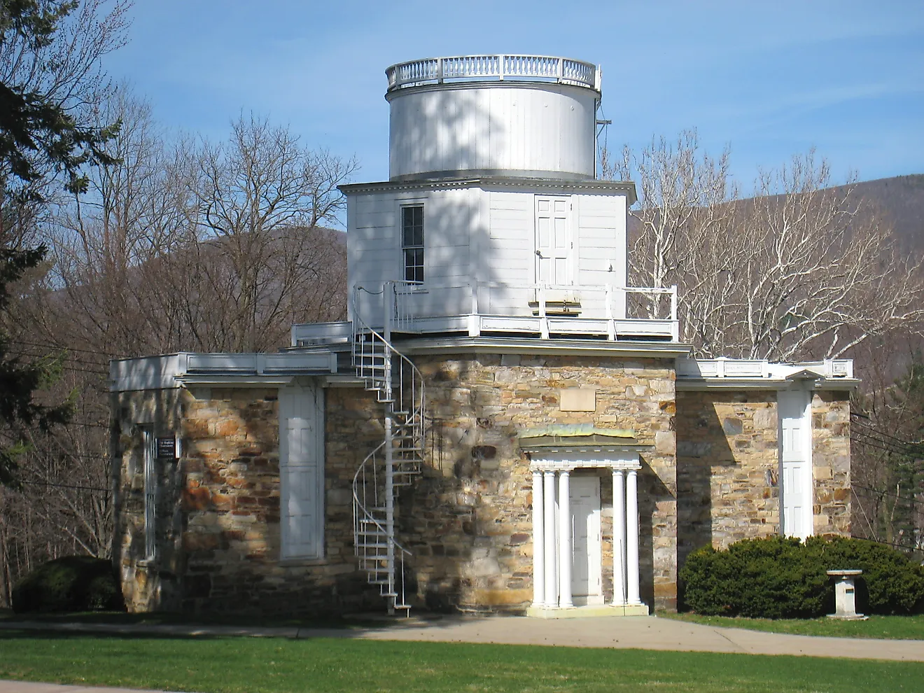
There is plenty here to fill either a quick afternoon getaway from the city or a full weekend escape. For one, Mount Wilson Observatory combines mountain views with a close look at the instruments that helped establish modern astronomy. You can explore the Astronomical Museum and view the 100-inch Hooker Telescope from its visitors' gallery during opening hours. Scheduled guided tours go beneath the telescope and inside the 60-inch telescope dome, while separately ticketed observing nights allow participants to look through these historic instruments. Outside the observatory grounds, Skyline Park has picnic facilities overlooking the surrounding mountains and Los Angeles basin.
For a picturesque drive in the countryside, Angeles Crest Highway offers several excellent roadside viewpoints and turnoffs for exploring different parts of the forest, though closures can prevent a continuous drive through the mountains.
Want to spend more than a day? Chilao Campground makes a useful destination for an overnight stay, with campsites in the Manzanita and Little Pines loops. Each site has a picnic table and fire ring, subject to current fire restrictions.
But for just a simple walk, the Silver Moccasin National Recreation Trail passes through the Chilao area, connecting campsites with nearby slopes and woodland. A day hike along an open section can be paired with lunch at Chilao Picnic Area, without committing to a strenuous summit climb.
Planning a Visit

It's highly advised that you check Forest Service alerts or Caltrans road conditions for whichever route you're going before heading out. Fire damage, rockslides, and snow can close individual areas even when nearby facilities remain open.
Spring and fall often suit lower-elevation hikes, while summer requires early starts and sufficient water for exposed trails and high daytime temperatures. On the other hand, winter trips into higher terrain demand preparation for snow and ice, including checking chain requirements and bringing proper footwear and spikes. Regardless, most trails in the forest are well marked, and you will more than likely be able to download maps beforehand, a good idea since cell reception could be unreliable. Be sure to also carry drinking water rather than assuming a nearby campground has a working supply.
Note that some developed recreation sites require an Adventure Pass or another accepted pass, so confirm that requirement. Moreover, check campground reservation arrangements separately, and leave your route and expected return time with someone else. This is because people do still regularly get lost in Angeles National Forest despite its proximity to the busy streets of Los Angeles.
Try a Visit to This Accessible National Greenspace Today
Angeles National Forest is too large to cover in a single visit, and a day spent around Mount Wilson offers a different experience from a night under the stars or a hike into a remote canyon. With that, choose an area and give it proper time to fully appreciate, as a focused itinerary leaves more time outside and less time driving between stops on the forest's winding mountain roads. It's not like repeated visits are out of the question, as a simple public transit ride a stone's throw outside of what is America's second-biggest metro area can take you near the forest's entrance.