How Michigan Lost Toledo And Got The Upper Peninsula
In 1836, Michigan made what looked like the worst real estate trade in American history: it surrendered its claim to Toledo, the harbor town everyone agreed was destined for greatness, and accepted as compensation a cold, roadless wilderness that one congressman's generation dismissed as a land of perpetual snows. Michigan's own convention delegates were furious. Nobody wanted the Upper Peninsula. And then the consolation prize turned out to contain one of the richest copper districts on Earth, iron ranges that would feed American industry for a century, and, eventually, most of the state's postcard rack. The story of how it happened involves a mapmaker's mistake, two governors playing chicken with militias, a stabbing committed by a man legally named Two, and a president who just wanted the whole thing to go away before an election. This is the Toledo War.
The Map Error That Drew A Border

The trouble started, as a remarkable amount of American trouble did, with a bad map. The Northwest Ordinance of 1787 defined the future boundary as an east-west line drawn through the southern tip of Lake Michigan, which would have been perfectly tidy if anyone had known where the southern tip of Lake Michigan was. The era's standard reference, the Mitchell Map, placed the lake's bottom end miles too far north, and when later surveys corrected the error, the line moved south, and the mouth of the Maumee River, the best natural harbor on western Lake Erie and the site of future Toledo, landed on Michigan's side.
Ohio had seen this coming. When it wrote its constitution in 1803, it slipped in a hedge clause angling its northern border northeast specifically to capture Maumee Bay regardless of what the surveyors found, a piece of cartographic fine print Congress never explicitly approved. The result was the Toledo Strip, a wedge of about 468 square miles, five to eight miles wide, that both Ohio and the Michigan Territory could claim with a straight face, and did, for three decades, until the land inside it suddenly became valuable.
Why Everyone Wanted A Swamp
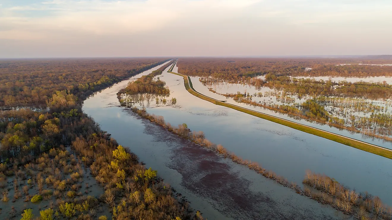
The strip itself was mostly lowland and the edge of the Great Black Swamp, which raises the fair question of why anyone would call out troops over it. The answer was the 1830s' favorite word: canals. The Erie Canal had just minted Buffalo and New York, Ohio was digging the Miami and Erie Canal north, Indiana was pushing the Wabash and Erie east, and both systems pointed at the same outlet, the mouth of the Maumee. Whoever held that harbor held the front door of a projected commercial empire, the Toledo of everyone's imagination, a future Chicago before Chicago had gotten around to becoming Chicago.
So the dispute was never about the swamp; it was about the receipt for the Midwest. Ohio, a state since 1803 with electoral votes and congressmen, wanted its hedge clause honored. Michigan, still a territory but growing fast and petitioning for statehood, wanted the line the Ordinance promised. By 1835, both sides had stopped writing letters and started writing laws.
The Boy Governor Digs In

Michigan's champion was Stevens T. Mason, the territorial secretary who had been running the territory since his teens and was all of 23 when the crisis peaked, soon to be nicknamed the Boy Governor and still the youngest person ever elected to govern an American state. Mason met the moment with the subtlety of his age bracket: Michigan's council passed the Pains and Penalties Act, making it a crime, punishable by heavy fine or hard labor, for any Ohio official to exercise authority inside the strip, and Mason called out the militia to enforce it.
Across the line stood Ohio Governor Robert Lucas, a veteran general three decades Mason's senior, who answered by organizing the strip into an Ohio county, naming it Lucas County after himself, which Toledo sits in to this day, and scheduling court sessions on disputed ground while summoning militia of his own. Through 1835, hundreds of armed men from each side maneuvered around the Maumee country, arresting each other's partisans, re-arresting the rescuers, and chasing surveyors through the brush in a conflict that history remembers as a war mostly out of politeness.
The Only Blood Was Drawn By A Man Named Two
The shooting war never came, though not for lack of trying. At the so-called Battle of Phillips Corners, Michigan militiamen fired over the heads of a fleeing Ohio survey party, which both sides promptly reported as either a massacre narrowly survived or a harmless salute, depending on the statehouse doing the reporting. The conflict's entire casualty list was written in July 1835, when Monroe County deputy sheriff Joseph Wood rode into Toledo to arrest Ohio partisans and was stabbed in the leg with a penknife by Two Stickney, son of Major Benjamin Stickney, an eccentric who had numbered his sons One and Two rather than naming them.
Wood recovered, Two fled to Ohio, which declined to extradite him, and the Toledo War thereby achieved a distinction few territorial disputes can claim: its only recorded bloodshed was a flesh wound inflicted by a man whose legal name was a number. Historians have been grateful ever since.
The Deal Michigan Hated
Enter Andrew Jackson, facing an 1836 election in which Ohio had electoral votes and Michigan, as a territory, had none, an arithmetic that settled the presidential mind wonderfully. Congress crafted the offer: Michigan could have statehood, but only if it surrendered the Toledo Strip, and in exchange it would receive the western three-quarters of the Upper Peninsula, a vast addition to the eastern section the territory already held. Contemporary opinion rated this somewhere between an insult and a joke; the UP was widely written off as a frozen, unfarmable wilderness, and a Michigan convention flatly rejected the bargain in September 1836.
Then winter and arithmetic did their work. Michigan was broke, and a share of the federal treasury surplus, hundreds of thousands of dollars, would only be distributed to states, with the clock running. In December 1836, a hastily assembled second convention in Ann Arbor, of questionable legality and forever nicknamed the Frostbitten Convention, swallowed the deal. On January 26, 1837, Michigan entered the Union minus Toledo and plus a peninsula it did not want.
The Consolation Prize Was Full Of Copper And Iron

The punchline took less than a decade to land. In the 1840s, the Keweenaw Peninsula's native copper set off the first great mineral rush in US history, years before California's gold, and its mines would pour out copper for more than a century. In 1844, surveyor William Burt noticed his compass needle swinging wildly near present-day Negaunee and found the Marquette Iron Range underfoot, first of the great UP iron districts whose ore, shipped from docks like Marquette's, would feed the furnaces that built American rail, steel, and two world wars. By many accountings, the mineral wealth of Michigan's unwanted peninsula ultimately out-earned the California gold rush itself.

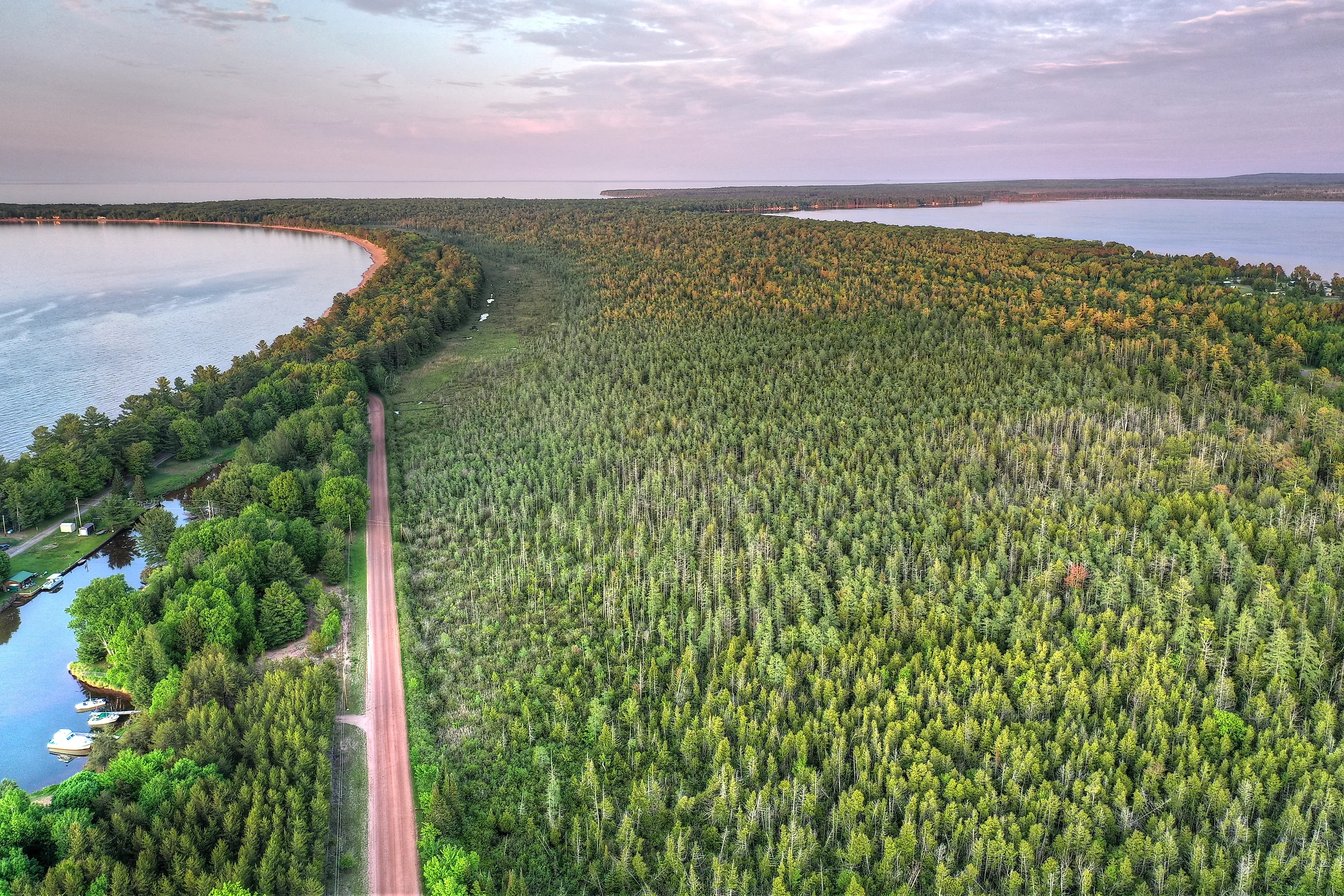
The timber came down next, and the beauty was banked for last: Pictured Rocks, the Porcupine Mountains and Lake of the Clouds, Tahquamenon Falls, and a Lake Superior coastline that now anchors Michigan's identity as thoroughly as any city could have. Toledo, meanwhile, grew into a perfectly respectable glass-and-industry city of a quarter million, a good town by any measure, and nobody's idea of the second Chicago the 1830s were promised.
The Final Score

Call the Toledo War what it was: a border scuffle settled by a map error, a penknife, and an election-year president, a conflict whose losing side spent its first years of statehood sulking over the outcome. Then history ran the numbers. Ohio got the harbor and a solid city; Michigan got copper that out-earned a gold rush, iron that built the industrial age, a wilderness that became the Midwest's favorite escape, and, in 1957, the Mackinac Bridge to stitch its accidental empire together. Michiganders and Ohioans still rib each other about it every football season, which is the correct way to continue a war whose total casualty count was one stabbed leg. But quietly, both sides have known the verdict for 180 years: Michigan lost Toledo, won the trade, and has never once offered to give the Upper Peninsula back.