The Largest County East Of The Mississippi
St. Louis County, Minnesota, is so large it can fit three states within it with room to spare. Albeit, that would be the three smallest states in the US, but at 6,860 square miles, counting its stretch of Lake Superior, it's the largest county east of the Mississippi River.
While St. Louis sits pretty as the 30th largest county in the entirety of the US, the other top 29 largest counties are all west of the Mississippi River. Interestingly, there is some debate over whether St. Louis is the largest county, as there is another county east of the Mississippi that has a larger land area but is smaller when water is considered. Despite this size, it has a relatively small population, but the region was a vital supplier of iron ore that helped the US win World War II.
Putting its size into context

St. Louis County has a land area of 6,247.57 square miles, and a water area of 612 square miles, which accounts for close to 9 percent of its total area. Even if just its land area is taken into account, it is larger than the total area of three US states: Rhode Island at 1,545 square miles, Delaware at 2,489 square miles, and Connecticut at 5,542 square miles. It is surpassed by New Jersey, which has a land area of 7,354 square miles and a total area of 8,723 square miles.
Even with this impressive size, it is still significantly smaller than the largest county in the US: San Bernardino County, California, with an overall size of about 20,057 square miles by land and about 20,105 square miles overall.
According to 2025 estimates from the Census, there are 200,518 people in St. Louis County, representing a 0.1 percent increase from the 2020 census of 200,227 people. Of this group, the biggest population center is in the county seat of Duluth, with a population of 88,330 people.
Based on the 2020 data, this gives the county a population density of 32 people per square mile. If St. Louis County were a state, it would sit right between the 10th and 9th least densely populated states: Kansas and Nevada. Nevada has 29.90 people per square mile, while Kansas has 36.42 people per square mile.
In Competition: Aroostook County, Maine

Aroostook County, Maine can compete with St. Louis County, Minnesota, for the title of largest county in the US, as it has a land area of 6,671 square miles, along with 156 square miles of water for a total of 6,828 square miles.
It is the largest county in Maine and has a larger land area than St. Louis County, which is more than 400 square miles smaller. What makes Aroostook County is smaller once water is added to the land area, as St. Louis County has a much larger water area than Aroostook County at 612 square miles compared to 156 square miles. For the sake of this article, we are taking into account total area rather than just land area, so St. Louis County, Minnesota, lay claim to the title.
Pre-county history

St. Louis County has been inhabited by several different native groups, with the Anishinaabeg living in this region since at least 800 AD. By the time of European arrival, the two biggest groups were the Dakota and Ojibwe (Chippewa), who were rivals in the area.
The region around St. Louis County was explored by Europeans as early as 1640, especially by French fur traders who were navigating Lake Superior. One such fur trader was named Daniel Greysolon, the Sieur de Lhut, who came here in 1679. French traders commonly called the area Fond du Lac, which roughly translates to "far end of the lake."
British traders began entering the area with the end of the French and Indian War in 1763, in which the French were forced to cede their North American territories to the British, including modern-day Minnesota. A North West Company fur-trading post called Fort St. Louis was set up here in 1793, alongside a small community called Fond du Lac. In 1794, Jay's Treaty was signed and allowed reciprocal trading rights, which allowed British subjects and the North West Company to legally trade within the US territories.
After the War of 1812, the US Congress banned foreigners from participating in the fur trade. The fort and settlement were officially turned over by the North West Company to the American Fur Company in 1816. For the next 30 years, the only real settler activity was fur trading, rather than a more established presence.
This changed in the 1850s due to two reasons. The first was the construction of the Soo Canal in Michigan, enabling a more direct connection between Lake Superior and Lake Huron and Lake Michigan for boat traffic, as previously a 21-foot drop on the St. Mary's River had made such a journey impossible. The second was a treaty signed between the US Government and the Chippewa Tribe in 1854, giving settlers direct access to the St. Louis River, including modern-day St. Louis County.
Founding and industry

St. Louis County was officially established on March 1, 1856, earning its name for the St. Louis River, which flows directly into Lake Superior. Duluth was chosen as its county seat and was named after the explorer Daniel Greysolon, the Sieur de Lhut.
This city would go through immense growth as a port town on the Great Lakes system, becoming the fastest-growing settlement in 1869. However, the major stock market crash of 1873 would cause a population downturn, but a combination of shipping and iron ore mining contributed to keeping the town afloat.
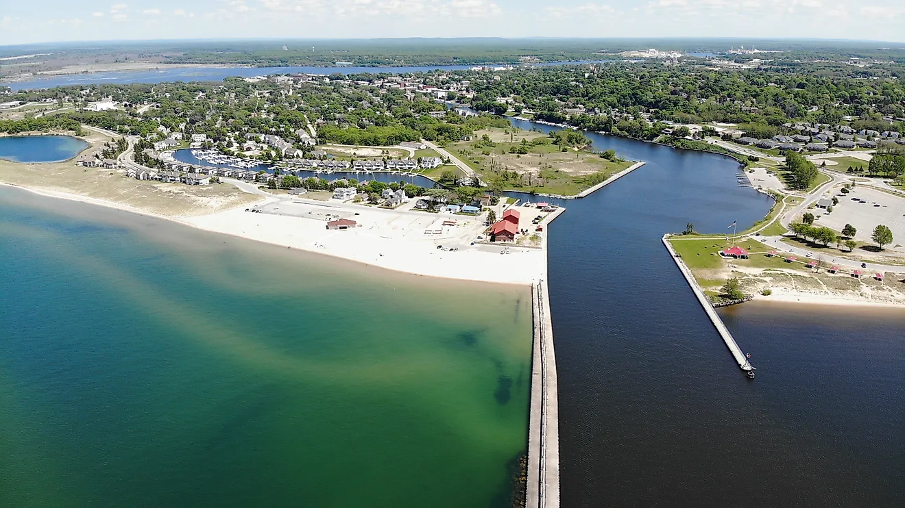
For example, in 1871 the Duluth Ship Canal was opened, enabling ships to access Duluth/Superior Harbor from Lake Superior, acting as the westernmost point of the Great Lakes-St. Lawrence Seaway, which stretches for 2,342 miles across the entirety of the Great Lakes to the Atlantic Ocean.
St. Louis County is part of Minnesota's larger Iron Range, which includes the Mesabi Range, Vermilion Range, and Cuyuna Range. Once the iron was mined, it would be transported by railroad to Duluth, and then sent out on ore boats to the major manufacturing hubs of Detroit and Pittsburgh.
These ore deposits are part of banded iron formations, which formed over billions of years of the Earth's history, dating back to high amounts of volcanism. This iron was important not just for industry but also for America's war efforts.
This iron was the primary supply for weapons, equipment, and artillery for Americans from the late 1800s onward. During World War II, it supplied as much as 75 percent of all iron used for the American war effort, leading some to say that without St. Louis County, America would not have won the war. Even today, the iron mines of Minnesota provide 85 percent of America's domestic iron supply.
Landmarks

Duluth contains several of St. Louis County's biggest landmarks and attractions. For example, one is the Glensheen Mansion, built in the early 1900s in the Jacobean Revival Style; this 39-room mansion is a remnant from the Gilded Age, when iron mining and commerce led to the city of Duluth having more millionaires per capita than any other city in the US at the time.
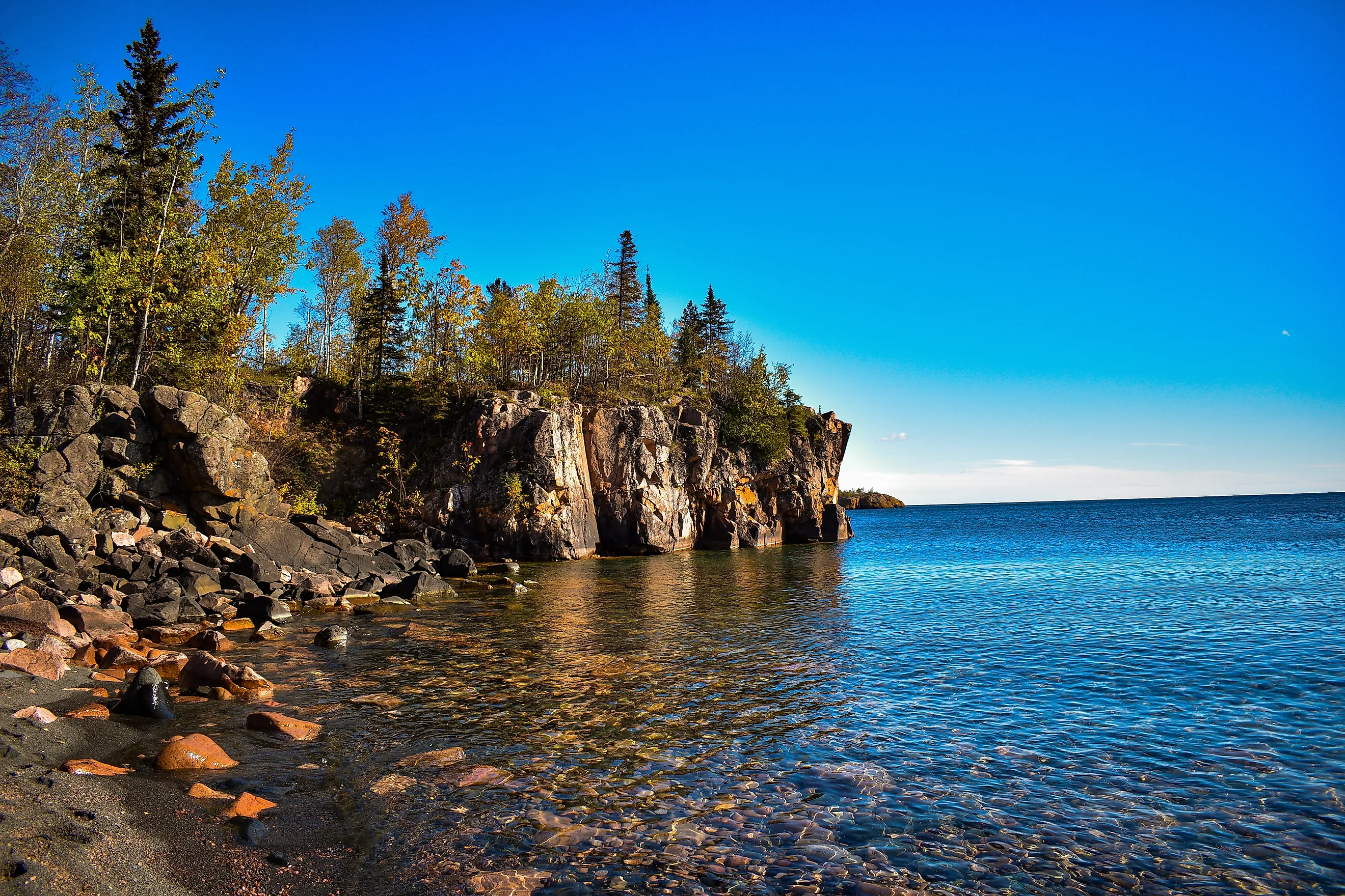
Along the shoreline of St. Louis County, there are many parks and beaches. One is the Leif Erikson Park, named after the Scandinavian explorer who was the first European to reach North America in the 1000s. From the Duluth Lakewalk, one can reach Brighton Beach Park, located in a quieter section at the eastern edge of the city.
Another impressive feature in Duluth is the Aerial Lift Bridge, a 1905 bridge that was converted to a lift bridge in 1929. The Aerial Lift Bridge can be raised by 135 feet in one minute to allow ships to pass through the Duluth Ship Canal. St. Louis County also provides access to historic mining sites, such as Hull Rust Mineview in Hibbing, Minnesota. Here one can see the Mesabi iron formation in a large open pit.
Why is St. Louis County so large?
The primary reason why St. Louis County is so large comes down to its history. At the time of its founding in 1856, it had a very small population, and its population waxed and waned over the years due to economic conditions. In addition, its boundaries were expanded in the first decade of its existence to cater to the needs of settlers who moved in.
St. Louis County isn't just big in size; it has also played a huge role in the commercial ecosystem of the Great Lakes, acting as the westernmost end of a system connecting the Great Lakes to the Atlantic Ocean, and providing the majority of iron ore used by the US throughout the World Wars and today. The most important feature in St. Louis County by far is Lake Superior, as it both connects the county with the Great Lakes and gives it the edge over Aroostook County, Maine, as the largest county east of the Mississippi River.