What Is The Great American Continental Divide?
5. Geographic Description
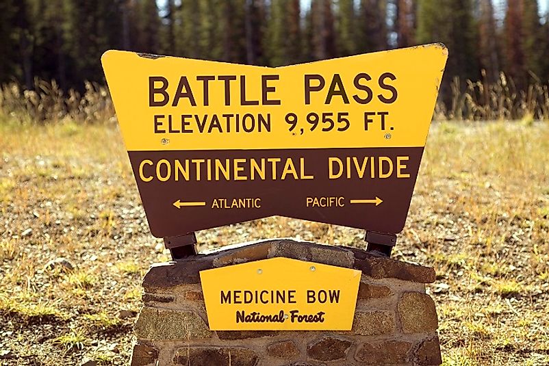
The Great Continental Divide of the Americas is the main, largely mountainous, divide that runs through both North and South America, from the Bering Strait through the Rocky Mountains of Canada and the United States. From there, they continue through the Sierra Madre Occidental Mountains of Mexico, through Central America, and into South America. In the South American continent, it goes along the peaks of the Andes into western Colombia, Ecuador, and southwestern Peru. It continues to southern Patagonia and Tierra del Fuego. The Great Continental Divide separates the waters which flow to the Pacific Ocean on one side from the rivers and drainage basins that empty into the Arctic and Atlantic Oceans and the Gulf of Mexico.
4. Geology of the Great Divide
Continental Divides are usually characterized by natural elevation. The Great Divide of the Americas however, is a consists of a continuous series of mountain ranges, which stretch from northern Canada, to Montana through Idaho, Wyoming, Colorado and Mexico before joining the Andes in South America. The Great Divide features peaks from 4,000 feet to 13,000 feet. The Divide is a single geologic feature spanning the entire North American Continent. It influences weather on both sides of the Divide and determines which oceans and water bodies receive the outflows of the numerous watercourses that crisscross the continent. A trip along the Divide reveal stunning landscapes, a diverse terrain and clear, starry nights. The route is passable only in the summer though.
3. Economic Significance
Mineral deposits like lead, zinc and copper are dispersed throughout the extent of the Rocky Mountains, the major system of the Great Divide. There are mining centers along the range from Leadville and Cripple Creek in Colorado, the Butte-Anaconda district of Montana, Coeur d’Alene, Idaho and Kootenay Trail of British Columbia. In the 1970s, the discovery of Shale led to the creation of an oil industry, which spurred urban and rural growth, especially in Colorado, though the industry has declined since the mid-eighties. Vast forests in the vicinity of the Rockies are major resources for lumbering and other forestry vocations in Montana, Idaho and British Columbia. The Rockies are a tourist and recreational attraction and the states the range passes through have witnessed a boom in construction and businesses that offer vacation activities.
2. Ecological Role
The Great Divide stretches across a great many national parks like the Yellowstone, Grand Teton, and Rocky Mountain National Parks in the U.S., and the Jasper, Banff, Yoho, Kootenay, Mount Revelstoke and Waterton Lakes National Parks in Canada. These parks contain with a forest-like canopy, lakes and waterfalls, which harbor a variety of plants and wildlife species including aquatic fauna. The Great Continental Divide stretches across a vast geographical area with a variety of natural features. Climates can range from the Tundra, hot summers, seasonal rain, desert aridity and regions with mild weather. The water streams and rivers that run off down the mountains of the divide and course their way to their respective oceans determine much of he ecology in the different zones of the Divide.
1. Environmental Threats and Territorial Disputes
With so many biomes along its span, the Continental Divide has been just as affected by the ravages of climate change as any other part of the earth. Many of the snow caps along its many mountains are melting, giving rise to concerns over flooding now, and water shortages in the future for those dependent upon snow-fed water sources. This melt is also worsening erosion. The topography of the Continental Divide also serves as a natural boundary line for many countries, states, and provinces along its length.


