The 8 Most Scenic Georgia Towns
There is a gorge in north Georgia a thousand feet deep that Karl Wallenda crossed on a wire in 1970, and a swamp in the south so dark and still that the water reflects like glass. Both are within a day's drive of Atlanta, and neither looks remotely like the other.
That is the thing most lists of scenic Georgia towns miss. They stop at the Blue Ridge and never go below Gainesville, which skips the barrier islands, the salt marsh, and 438,000 acres of blackwater swamp. These eight run the length of the state, from the mountains down to the Atlantic, and no two of them look alike.
Blue Ridge

A 1905 depot in the middle of town still sends excursion trains up the Toccoa River, and the four-hour round trip to McCaysville is the easiest way to see this country without hiking a step. The Blue Ridge Scenic Railway runs restored cars along the river gorge, and in late October it sells out.
About 1,300 people live in Blue Ridge, in Fannin County, and the Chattahoochee National Forest wraps the town on nearly every side. Lake Blue Ridge sits two miles out with most of its shoreline federally owned and therefore undeveloped, which is why the water looks the way it does.
The Aska Adventure Area southeast of town has the trail density: Fall Branch Falls drops in two tiers off a short walk, and the Benton MacKaye Trail runs through. Springer Mountain, the southern terminus of the Appalachian Trail, is about thirty miles south, and every northbound thru-hiker starts there in spring.
Ellijay

Ellijay grows most of Georgia's apples, and in October the roads out of town are solid with cars heading for the orchards. The name comes from a Cherokee word usually rendered as "place of green things," which for an apple town is almost too neat.
The setting does the work. Ellijay sits at the foot of the Cohutta Mountains where the Cartecay and Ellijay rivers meet to form the Coosawattee, and both rivers are good for an easy paddle under full tree cover. The Cohutta Wilderness north of town is the largest wilderness area in the eastern national forests, 37,000 acres with no roads in it at all.
Amicalola Falls is about forty minutes east and worth the detour: 729 feet in seven cascades, the tallest waterfall in Georgia and the tallest cascading falls east of the Mississippi. There are 604 steps alongside it if you want them.
Helen

In 1969 Helen was a failing logging town of a few hundred people. Three businessmen hired a local artist to sketch what the place might look like as a Bavarian alpine village, the shopkeepers agreed to pay for their own facades, and within a year the whole downtown had been remodelled. It is now one of the most visited towns in Georgia.
The Chattahoochee River runs straight through the middle of it, and floating it on an inner tube is the summer ritual. Unicoi State Park is two miles north with a lake and trails, and Anna Ruby Falls inside it is a double waterfall where two creeks drop side by side and merge at the bottom.
Smithgall Woods, a few minutes west, is a 5,600-acre preserve where Dukes Creek is managed catch-and-release and access is limited by reservation, which is why the trout fishing is as good as it is. The Hardman Farm historic site at the edge of town has an 1870 house and the Nacoochee Mound in the field opposite.
Clayton

Rabun County is the wettest county in Georgia and one of the wettest places in the eastern United States, which explains both the waterfall count and the fact that roughly 60% of the county is national forest. Clayton, population 2,100, is the seat of it.
Tallulah Gorge is twenty minutes south and it is the headline: two miles long, close to 1,000 feet deep, with a suspension bridge swaying 80 feet above the river and a permit system limiting how many people reach the gorge floor each day. Karl Wallenda walked a wire across it in 1970 and stopped in the middle to do a headstand.

Black Rock Mountain State Park is the highest state park in Georgia at 3,640 feet, with overlooks reaching into two other states on a clear day. The Chattooga River on the South Carolina line is a federally designated Wild and Scenic River and the one they filmed Deliverance on. Lake Rabun and Lake Burton are both within fifteen minutes.
Hiawassee

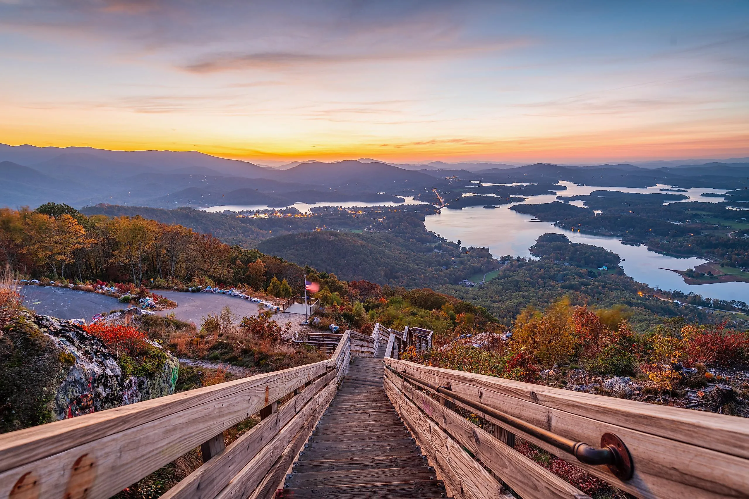
Drive to the top of Bell Mountain and the road simply ends at a bare rock summit with a viewing platform bolted to it. The whole of Lake Chatuge is spread out below, 7,000 acres of it straddling the Georgia and North Carolina line, with the Appalachians behind. It costs nothing and takes fifteen minutes from town.
Hiawassee has about 900 residents and sits right on the lakeshore in Towns County. Every summer the Georgia Mountain Fair takes over the fairgrounds on the water for eleven days of old-time music and demonstrations, and the amphitheatre there books through the season.
Brasstown Bald, the highest point in Georgia at 4,784 feet, is twenty minutes west. On a clear day the observation tower sees into four states, and the shuttle from the car park saves you a steep half mile.
Darien

Now come down off the mountain. Darien sits where the Altamaha River reaches the coast, and the Altamaha is the largest undammed river on the Atlantic seaboard, draining a quarter of Georgia through a delta of salt marsh that runs unbroken in nearly every direction.
Scottish Highlanders founded the town in 1736 and the shrimp fleet still ties up along the waterfront, which at sunset is the single most photographed scene on this coast. About 1,500 people live here.
Fort King George just outside town is the oldest surviving English fort on the Georgia coast, built in 1721, with a reconstructed cypress blockhouse you can climb for a view over the marsh. The ferry to Sapelo Island leaves from nearby Meridian, and the ruins of Butler Island rice plantation stand in the marsh just south of the bridge.
Tybee Island

The lighthouse on Tybee Island has been guiding ships into the Savannah River since 1736, though the current tower dates to 1773 and the black-and-white daymark to a 1916 repaint. It is 145 feet and 178 steps to the top, and the view takes in the whole island.

Three miles of beach face the Atlantic on a barrier island of about 3,000 people, eighteen miles from Savannah and a different proposition entirely. The north end has the lighthouse and Fort Screven's concrete batteries; the south end has the pier and the crowds.
The back of the island is the part people skip. Tybee's salt marsh and tidal creeks are best seen by kayak, and the Little Tybee Island reserve just south is uninhabited, more than twice the size of Tybee itself, and reachable only by boat.
Folkston

The Okefenokee is 438,000 acres of blackwater swamp, the largest in North America, and Folkston is the eastern door into it. Tannin from decaying peat stains the water the colour of strong tea, and on a still morning the reflection is so complete that photographs look inverted.

Something like 15,000 alligators live in there, along with sandhill cranes and black bears, and you can paddle marked canoe trails for days with platform campsites booked in advance. The boardwalk at the Suwannee Canal entrance runs three quarters of a mile out to an observation tower above the prairie if you would rather stay dry.
The refuge is also a certified International Dark Sky Park, one of very few in the Southeast, and the night sky over open water with no horizon glow is the reason some people come. In town, the Folkston Funnel is a covered viewing platform beside the CSX main line where around sixty trains a day pass through, and railfans travel across the country to sit on it.
One State, Four Landscapes
Georgia packs more variety into 300 miles than most states manage, and these eight make the case. Blue Ridge, Ellijay, Helen, Clayton, and Hiawassee are the mountain group, all within about ninety minutes of one another, and autumn is their season, with colour peaking from mid-October at elevation.
Then the land flattens and changes entirely. Darien and Tybee are coastal and best in spring or late autumn, when the heat and the insects have eased. Folkston and the Okefenokee are at their best in the cooler months too, and that is also when the sandhill cranes are in. Pick an end of the state rather than trying to do both, unless you have a week.