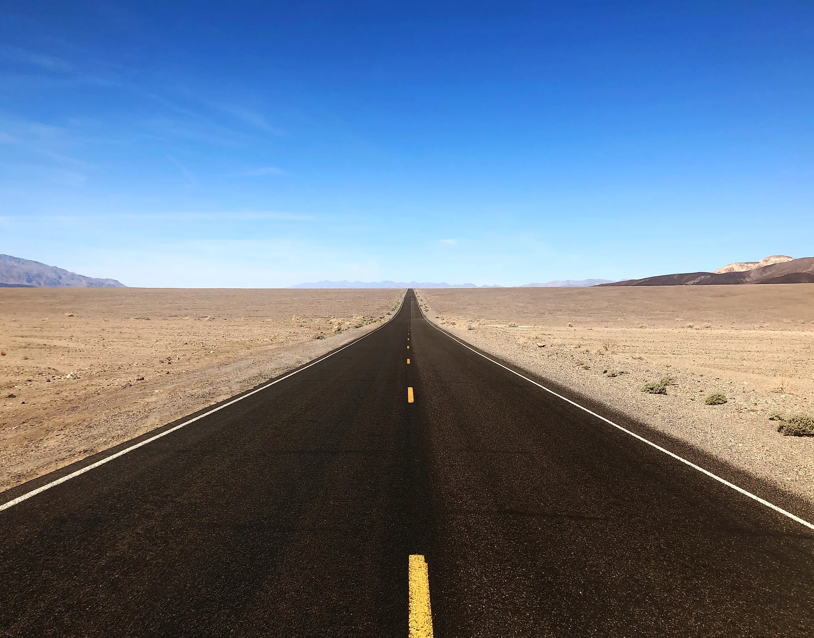
The Lowest Road In America
There is a sign bolted to a cliff in California that says SEA LEVEL. You have to tilt your head back to find it, because it sits roughly 28 storeys above the car park you are standing in, on the rock face of the Black Mountains. It is small, grey, easy to miss, and quietly the most humbling piece of signage in the national park system.
Below it runs Badwater Road, which at that point sits 282 feet under the surface of the ocean. No other road in the country goes lower, and the one that comes closest is not close.
Two Hundred And Eighty-Two Feet Down

Badwater Road is California State Route 178, and it runs south from Highway 190 through Death Valley for about 18 miles before reaching Badwater Basin. That basin is the lowest point in North America, and the National Park Service and the US Geological Survey both put it at exactly 282 feet below sea level.
For scale, New Orleans is famous for sitting below sea level, and at its lowest the city manages six to ten feet. Badwater is roughly thirty times further down. The road gets you there in an ordinary car, on tarmac, with no particular effort, which is somehow the strangest part.
The Park Service also calls Badwater Road the most popular drive in the park, which means the lowest road in America is also one of the busiest in Death Valley. There is usually a queue for the sign.
It Is Named After A Mule's Opinion

In the 19th century a surveyor mapping the valley brought his mule to the small spring-fed pool that still sits beside the boardwalk. The mule, having a nose, declined to drink it. The surveyor wrote "bad water" on his map, and that is the entire origin story of the name now attached to the lowest road on the continent.
The pool is still there and still undrinkable, fed by groundwater that has picked up salt on the way through and has nowhere to drain. There is no outlet from Death Valley. Water arrives, sits, evaporates, and leaves its minerals behind, which is why the basin floor is a 200-square-mile crust of salt rather than a lake.
Worth clearing up one thing the basin gets accused of: despite sitting well below sea level, Death Valley has never been under the ocean. Mountains have separated it from the Pacific for its entire existence. It is low because the crust here is pulling apart and the valley floor is dropping, not because the sea ever got in.
Two Vertical Miles In Fifteen Horizontal

Stand on the salt and look west. Telescope Peak, in the Panamint Range, tops out at 11,049 feet, and it is about 15 miles away. That is more than two vertical miles of relief inside a horizontal distance you could cycle in an afternoon, and it is the greatest such drop anywhere in the contiguous United States.
In winter the peak is usually under snow while the basin below it is comfortably warm, so the view includes both ends of the American climate at once. The same park contains the lowest point in North America and a summit higher than anything in the Appalachians.
Death Valley National Park covers 3.4 million acres, making it the largest national park outside Alaska, with more than 300 miles of paved road, another 300 of improved dirt, and several hundred more that require a vehicle you do not mind damaging.
People Run An Ultramarathon From Here. In July.

The Badwater 135 starts at this car park and finishes 135 miles later at Whitney Portal, on the flank of the highest mountain in the lower 48. It climbs about 14,600 feet in total. It is held in July, on purpose, in the hottest place on earth.
The air temperature record for the planet, 134 degrees Fahrenheit, was set a few miles up the same road at Furnace Creek in July 1913. Runners have reported their shoes delaminating on the asphalt, which is why many of them run on the white line.
For everyone else, the recommended months are November through March, when the basin is pleasant and the walk out onto the salt is genuinely enjoyable rather than a medical decision.
One Small Correction To The Sign

Badwater is the lowest point in North America. It is not the lowest in the Americas, and it is nowhere near the lowest on earth. Laguna del Carbón in Argentina sits at 344 feet below sea level, about 60 feet deeper, and the Dead Sea shore is more than 1,400 feet down.
None of which takes much away from the drive. Badwater Road remains the lowest stretch of public tarmac on the continent, and Death Valley is also one of the darkest places in the country at night, certified as an International Dark Sky Park, so the same road that takes you to the bottom of North America gives you an unusually good view of everything above it.
Driving It

From the Furnace Creek Visitor Center the run south takes around half an hour, and the road is paved, flat, and suitable for any vehicle. Artists Drive, Devils Golf Course, and Natural Bridge Canyon all branch off the same route, so the lowest road in America doubles as the park's best sampler.
Check conditions before setting out. Flash flooding has repeatedly torn up roads in this park, most severely in August 2022, when the valley took a year's worth of rain in a morning and left no through-road open at all. Badwater Road reopened in sections over the following weeks, and similar closures have happened since.
Bring more water than you think you need, fill the tank before entering the park, and do not rely on a phone signal, because there mostly is not one. Then walk the mile or so out onto the salt until the crowd thins, stop, and look back up at the cliff for the sign. It is worth finding.