8 Prettiest Small Towns In Nebraska
These eight towns cover both ends of Nebraska and feature some of the state's signature sights. Six hundred acres of unplowed prairie still stand south of Red Cloud, where Willa Cather wrote her novels. Farther north and west, Smith Falls drops about sixty feet over a rock ledge outside Valentine, the highest waterfall in Nebraska. At Ogallala, white sand beaches edge Lake McConaughy just north of town, and a covered wooden boardwalk fronts the old cattle-town blocks downtown. These, along with a handful of others, are the prettiest small towns in Nebraska.
Brownville

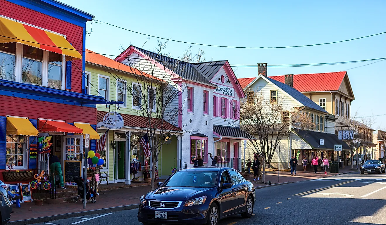
Brownville sits on a bend of the Missouri River, where sandstone bluffs rise straight from the water and brick storefronts climb the hill above the riverbank. Richard Brown founded the town as a ferry crossing in 1854, and its historic district, recognized as a Preserve America Community, still holds the 1854 Didier Log Cabin and the 1860 Carson House, a Victorian home with light-blue siding and red-rimmed windows. The Steamboat Trace Trail starts just outside town and follows an old rail bed 22 miles along the river bluffs, past cottonwood stands and open farm fields on its way north toward Nebraska City. A few blocks off Main Street, Whiskey Run Creek Winery offers tastings inside a century-old barn relocated to span a creek.
Nebraska City

North along the same Steamboat Trace Trail, Nebraska City also sits above its own stretch of Missouri River bluffs. On one of those bluffs, the Missouri River Basin Lewis and Clark Visitor Center has hiking trails that overlook the river, as the Lewis and Clark expedition saw it in 1804. A few miles inland, Arbor Day Farm covers 260 acres of orchards and woodland, with a Tree Adventure course of rope bridges strung through the treetop canopy and an Apple House Market stocked with cider and fruit come fall. Next door, the 52-room Arbor Lodge mansion, former home to Arbor Day founder J. Sterling Morton, stands on grounds planted with Italian terraced gardens and an arboretum holding more than 200 varieties of lilac. The grounds are open to walk year-round at no charge, though touring the mansion carries an admission fee.
Seward

Inland from the Missouri River towns, the Big Blue River takes in Plum Creek and Lincoln Creek at the edge of Seward's downtown. A block in, the 1905 courthouse, designed by architect George Berlinghof in a Neo-Classical Revival style with a limestone facade and a central dome, rises from the middle of a public square lined with brick storefronts. Along Plum Creek, a 2.7-mile paved trail winds past a garden area planted with ornamental grasses and benches on the east side of town. Governor J. James Exon named Seward the state's official Fourth of July City in 1973, and the square still fills with visitors for the holiday every summer. On an ordinary afternoon, Cafe on the Square looks out over that same courthouse from a restored building on 6th Street, with a pet-friendly patio for watching the workings of the town. The rest of downtown retains its late-1800s brick facades, a legacy of the early settlers who built up the town after Seward became the county seat in 1871.
Aurora

About 49 miles west on Highway 34, past a stretch of Platte Valley farmland that turns a brilliant green with new corn every June, the Hamilton County Courthouse commands Aurora's Central Park Square. Completed in 1895 in a Capitol-inspired style with red brick and Colorado sandstone, it carries a tall spire instead of a dome. A short walk away, Streeter Park holds the Twin Cottonwoods monument, honoring the pair of trees that once marked Lincoln Creek's bank and drew the town's first settlers to the spot in 1871. The park around it is ringed with walking paths and a cottonwood-lined campground. The Edgerton Explorit Center, a hands-on science center a few blocks off the square, has a planetarium and live raptor programs.
Red Cloud

South of the Platte Valley, where Highway 281 leaves farmland for native grass, Red Cloud spreads across prairie country left largely as Willa Cather described it in her novels. The Willa Cather Memorial Prairie, five miles south of town, covers 612 acres of native grass with almost two miles of hiking trails through meadowlark and upland sandpiper country, open to the public year-round at no cost. In town, the National Willa Cather Center holds Cather's letters and photographs inside the restored Moon Block, an 1886 commercial building on Webster Street that adjoins the 1885 Red Cloud Opera House. Cather delivered her high school graduation address in that opera house in 1890, and the same brick facade still fronts Webster Street today. A block south, the Corner Nook offers a coffee counter and gift shop in a storefront at the corner of 4th Avenue.
Ogallala

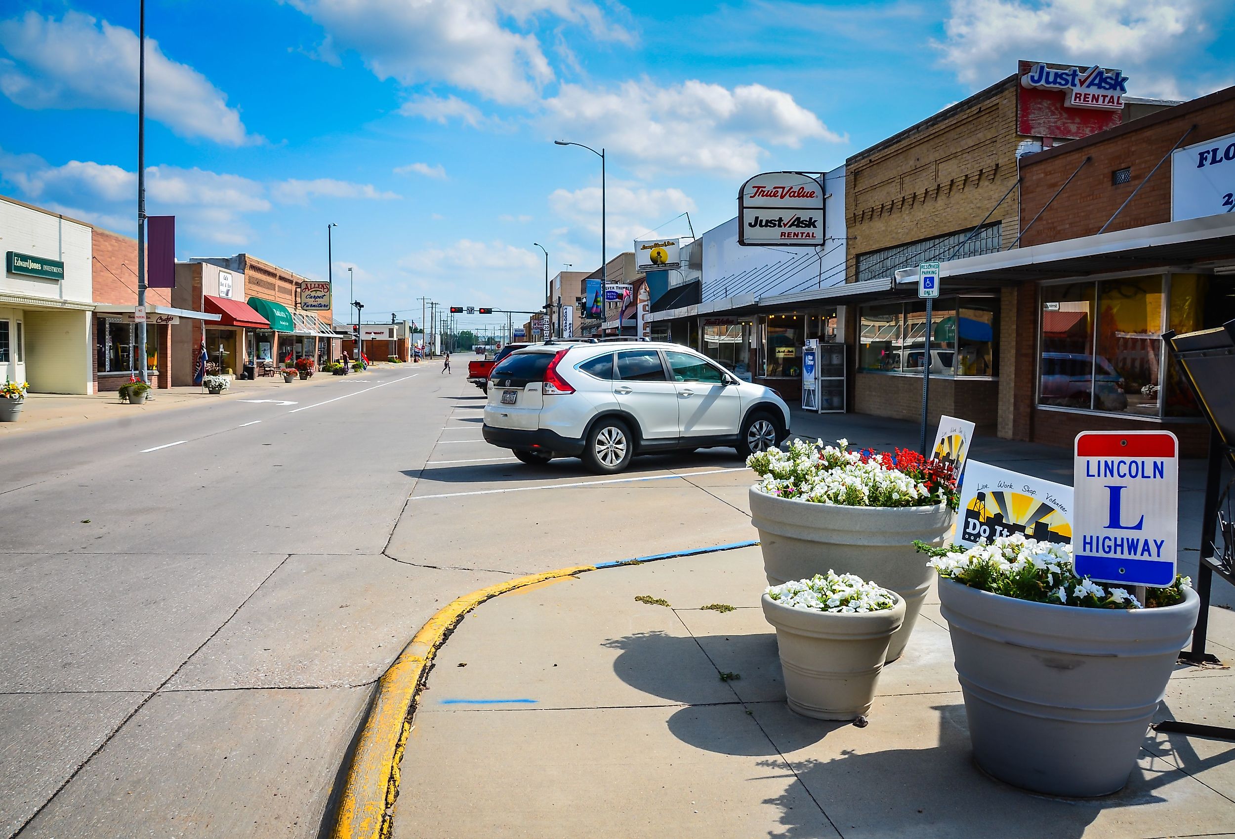
Ogallala sits south of Lake McConaughy, the reservoir locals call Big Mac. It is the largest body of water in the state, with sand beaches stretching for miles along its shore. Downtown, Front Street presents Ogallala's cattle-town years along a covered wooden boardwalk. The Crystal Palace Revue has staged musical variety shows there every summer since 1964, the longest continuous summer stock season in Nebraska. Next door is a free Cowboy Museum covering the Texas Trail cattle drives that passed through town in the 1870s and 1880s. A short walk from the boardwalk, Boot Hill holds the graves of the era's cowboys and outlaws under a plain hillside of native grass on the edge of downtown.
Valentine

About 184 miles north on Highway 83, through Sandhills grass that rolls out in every direction, Valentine sits on the high ground above the Niobrara National Scenic River. Smith Falls, a short drive east along the river, drops about 63 feet over a rock ledge as the highest waterfall in the state. Back near town, the Cowboy Trail crosses the river on a former railroad trestle that is both a quarter-mile long and nearly 150 feet above the water, with the valley open in both directions from the old rail deck. Between the falls and the bridge, the Niobrara runs 76 miles as a National Scenic River through a valley where Black Hills ponderosa pine grows alongside eastern bur oak and elm. A boreal aspen hybrid found nowhere else in Nebraska holds on there as well. Canoe outfitters in town launch float trips all summer.
Chadron

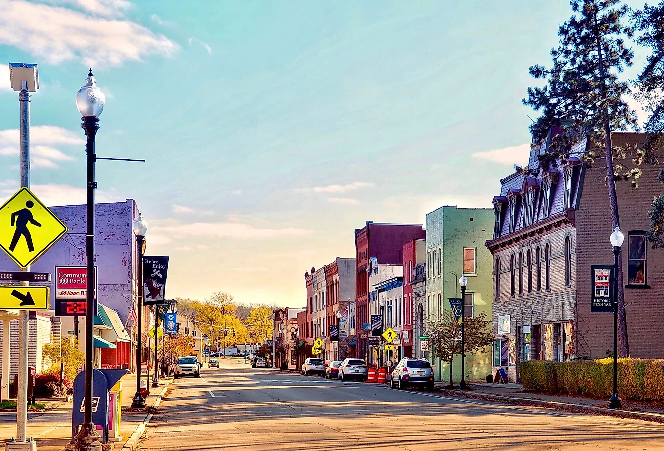
Highway 20 covers 137 miles between Valentine and Chadron. Long before the town appears, the Sandhills give way to buttes and pine-dark ridges. Chadron State Park, established in 1921 as the first state park in Nebraska, climbs through ponderosa pine forest and canyon country around Pine Cone Butte. The Black Hills Overlook there gives a clear-day view of the Black Hills across the line in South Dakota. Ten miles of park trail connect to more than 100 miles of paths through the surrounding Nebraska National Forest and Pine Ridge National Recreation Area. A few miles east of downtown, the Museum of the Fur Trade has a collection of more than 6,000 artifacts at the site of a 19th-century trading post. Chadron's own Main Street sits low in a valley between the buttes, its brick storefronts framed by pine ridges on one side and open grassland on the other.
Where Nebraska Looks Its Best
Brownville is the one with the river in it, sandstone bluffs coming straight up out of the Missouri and brick storefronts climbing the hill behind them. Red Cloud still looks the way Cather described it, because the prairie five miles south of town was never plowed. Chadron sits low in its valley with ponderosa ridges closing off both ends of Main Street, and Chadron State Park climbs into canyon country a short drive out of it. Of those three, only Chadron asks for any real elevation to see properly.