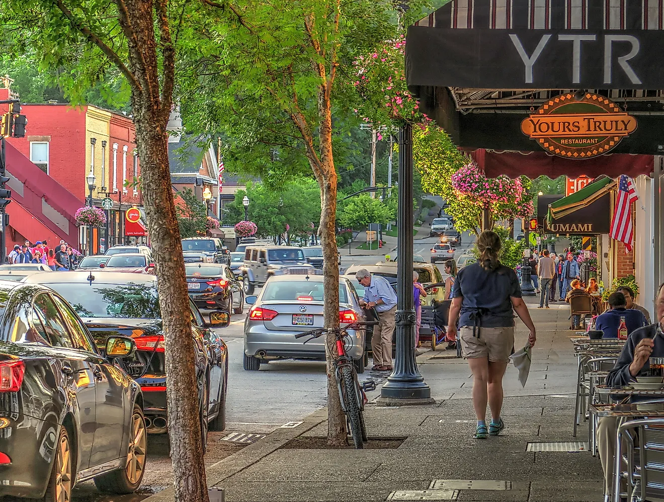
7 Picture-Perfect Towns on Florida's Emerald Coast
The sand on Florida's Emerald Coast is almost pure quartz. It washed down from the Appalachians over thousands of years, ground fine and bleached white. The grains reflect the light, so the sand feels cool underfoot. Offshore, the shallow Gulf turns pale green at dawn and deep emerald by afternoon. Seven towns share this shore. A few began as fishing settlements with working harbors. One was planned whole, down to the paint on the cottages.
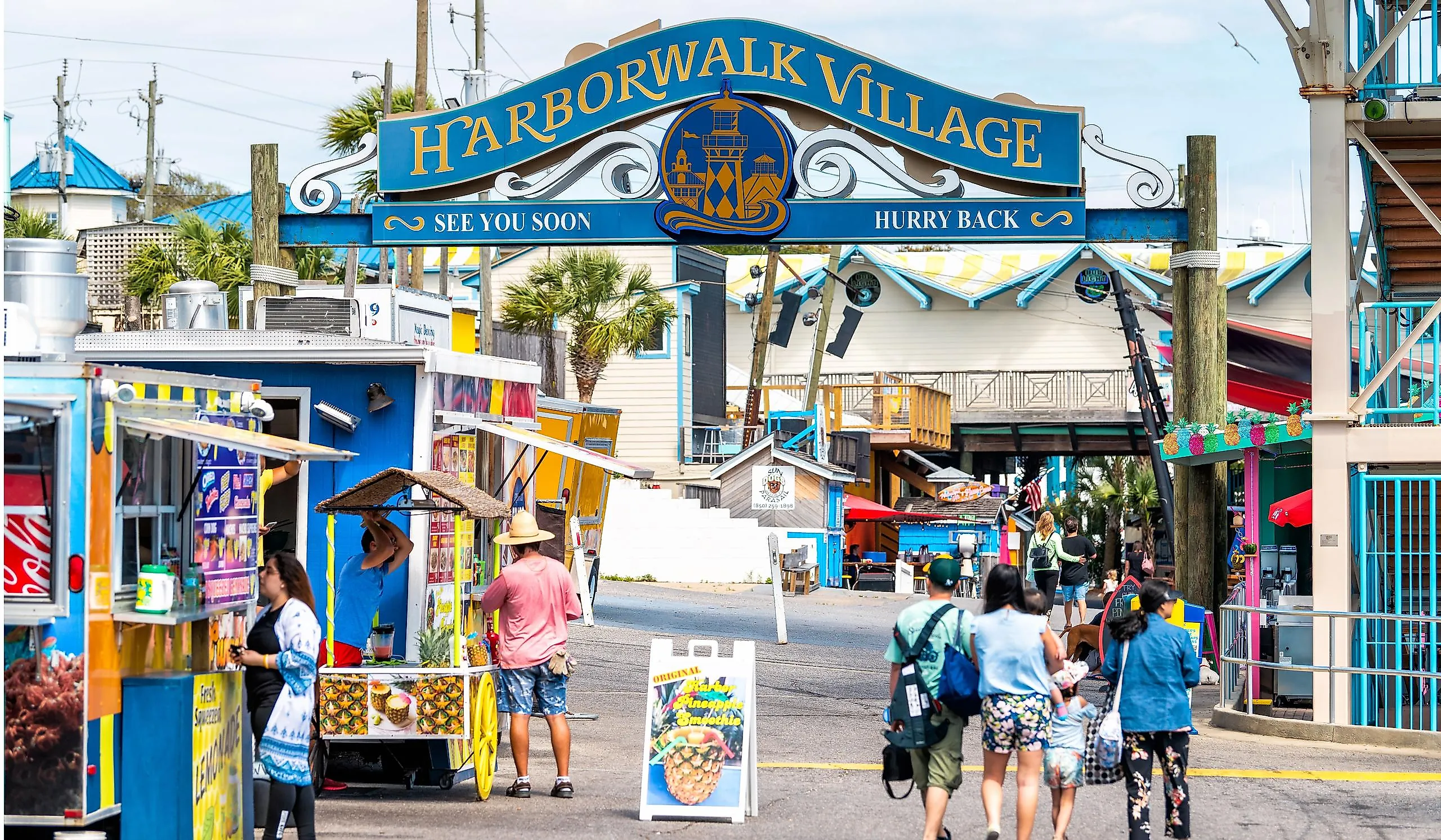
Destin

Destin calls itself the World's Luckiest Fishing Village. The largest charter fishing fleet in Florida ties up along Destin Harbor. The East Pass gives the boats quick deepwater access to the edge of the continental shelf. Harborwalk Village lines the water with restaurants and live music. At golden hour the boats come in and the harbor turns copper. The Destin History and Fishing Museum stands a block off the water.
Henderson Beach State Park opens nearly a mile of public white sand, with dune trails and picnic spots. Charters head offshore for red snapper and grouper. Just north, under the Destin Bridge, Crab Island is a submerged sandbar in one to four feet of clear emerald water. Boaters gather there through the summer. Every October the Destin Fishing Rodeo brings anglers in to weigh the biggest catch of the month.
Fort Walton Beach

A temple mound stands in the middle of Fort Walton Beach. The Pensacola culture raised it around 850 CE. People used the site until about 1500. The mound rises 12 feet and spreads 223 feet across at the base. A reconstructed temple stands on top today. The Indian Temple Mound Museum next door holds the artifacts and traces 12,000 years of life on this coast.
The Gulfarium Marine Adventure Park is out on Okaloosa Island, home to dolphins, sea lions and sea turtles. John Beasley Park lays boardwalks over the dunes. A wide stretch of sugar-white beach spreads below them. The island faces the open Gulf, so the water is clear and green. Sea oats and low dunes edge the shore.
Grayton Beach

Grayton Beach is one of the oldest towns on the Emerald Coast. Homesteads from the 1880s still stand on the sand lanes behind the dunes. Old Florida cottages line Hotz Avenue under pine and live oak. Salt wind has bent the pines low over the road.
Just offshore, the Underwater Museum of Art placed the country's first permanent underwater sculpture garden on the sea floor. Divers and snorkelers visit the figures year-round. Grayton Beach State Park protects about 2,000 acres of dune lakes, pine flatwoods and shoreline. Western Lake, a coastal dune lake, lies just behind the beach. The park holds three of these lakes in all. Only a handful of places worldwide have them. Dr. Beach ranked this shoreline the best in the country in 1994.
Navarre Beach

The Navarre Beach Fishing Pier reaches 1,545 feet into the Gulf, the longest in the state and on the Gulf of Mexico. It stands 30 feet above the water. Hurricane Ivan destroyed the first pier in 2004. The concrete pier that replaced it opened in 2010. Anglers fish the rail for redfish and king mackerel. About 12 miles of white sand line the island here.
The Navarre Beach Sea Turtle Conservation Center is home to Sweet Pea, a rescued green sea turtle and resident ambassador. The Navarre Beach Marine Sanctuary draws snorkelers to artificial reefs just offshore. Low dunes and sea oats back most of the beach, with few buildings behind them. Cobia and king mackerel pass through in spring.
Panama City Beach

Panama City Beach stretches 27 miles of shoreline between two state parks. The white sand squeaks underfoot. The shallow water glows turquoise close to shore. Farther out it deepens to darker green.
St. Andrews State Park holds the eastern end across 1,200 acres, with dune trails and twin jetties that shelter a calm swimming lagoon. The park protects old pine hammock and coastal scrub. Camp Helen State Park holds the western end, with a coastal dune lake and the historic Camp Helen lodge. A shuttle from St. Andrews crosses to Shell Island, an undeveloped barrier island with seven miles of empty white sand. A pod of bottlenose dolphins lives in the pass. Artificial reefs offshore draw scuba divers.
Pensacola Beach

A red-and-white beach-ball water tower marks the entrance to Pensacola Beach. The town spreads across the western end of Santa Rosa Island, a short hop from Pensacola. The Blue Angels fly out of Naval Air Station Pensacola across the water and headline the Pensacola Beach Air Show each summer. A free summer trolley loops the main strip.
Gulf Islands National Seashore borders the town with miles of undeveloped white dunes. The sand stretches unbroken past the last houses. Sea oats hold the dune line in place. Fort Pickens, a 19th-century brick fort, guards the western tip of the island. The fort held the Apache leader Geronimo in the 1880s.
Seaside

Seaside looks like a movie set. Hollywood used it as the backdrop for "The Truman Show." Robert Davis built the town on 80 acres of family land starting in 1981. Pastel cottages, white picket fences and walkable streets follow one tight design code. The plan launched the New Urbanism movement.
Open-air beach pavilions stand at the foot of the main street, each designed by a different architect. A small post office stands at the town center. An open lawn amphitheater hosts shows nearby. Bike paths along Scenic Highway 30A link Seaside to the other 30A towns. Grayton Beach State Park is a short ride west.
Bright Sand And Green Water
The same quartz sand shows up at every stop on the Emerald Coast. Navarre's pier reaches almost a third of a mile over clear water. Grayton Beach holds its 1880s cottages under the pines. Seaside still looks like a film set. Past Pensacola Beach the dunes stretch for miles with no houses behind them. The water turns green by afternoon. The sand never loses its white.