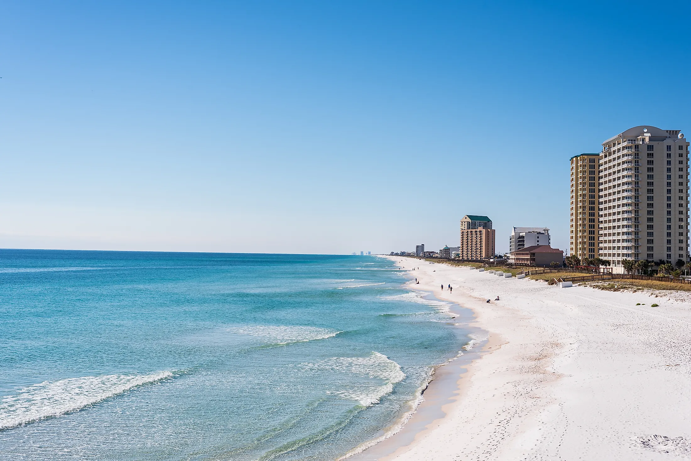
Navarre, Florida
Navarre is an unincorporated community and a census-designated place situated in Santa Rosa County on the northwestern edge of Florida. Navarre forms a part of the “Pensacola-Ferry Pass-Brent Metropolitan Statistical Area” and the “Fort Walton Beach-Navarre-Wright Urbanized Area.” Being Florida Panhandle’s third-largest community, Navarre is well known for its natural environment and beaches that offer many recreational opportunities for visitors.
Geography Of Navarre

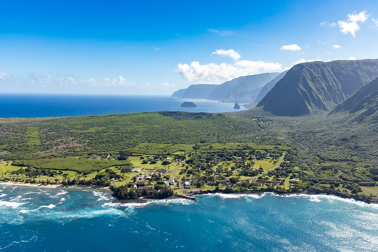
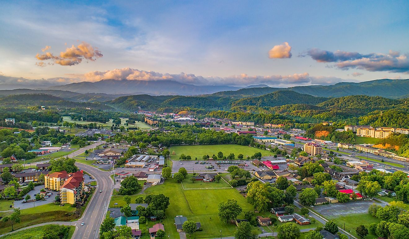
Situated at an average elevation of 3m on the Gulf Coastal Plain, Navarre covers 75.96 sq. km, of which 16.24 sq. km is water and 59.75 sq. km is land. This large unincorporated community is roughly centered at the meeting point of the 83.182km long Florida State Road 87 and 1,080 km long US Route 98. It is about 24km to the west of Fort Walton Beach and 40km east of the city of Pensacola. Primarily situated on Santa Rosa Island and the Fairpoint Peninsula, Navarre contains about 19km of pristine shoreline along the Gulf of Mexico. Several creeks border the community. The Yellow River and East Bay River lie to the north and Santa Rosa Sound to the south of Navarre.
Situated on the Santa Rosa Island, Navarre Beach is bounded by Navarre Beach Marine Park to the east and part of the Gulf Islands National Seashore to the west. As per the recent census, about 44,876 people live in Navarre. The community has a population density of 367.14 inhabitants per sq. km.
There are several public parks in the community of Navarre that are managed by the Department of Parks and Recreation of Sant Rosa County. The Navarre Youth Sports Association partially manages both the Navarre Sports Complex and the Navarre Soccer Complex together with Santa Rosa County. The Navarre Beach Marine Park is the largest among all the public parks in Navarre. However, this marine park is currently closed for renovations as it suffered extensive damages from Hurricane Ivan and Hurricane Denis.
Climate
The community of Navarre is situated on the southern tip of the humid subtropical climate zone and experiences long, hot summers and cool, windy winters. Summer lasts from May to September, with an average high temperature of 24.8°C. Winter is from December to March, with an average daily temperature of 15.1°C. Navarre receives an average of 1658mm of rainfall. Hurricanes frequently threaten Navarre due to its low elevation and proximity to the Gulf of Mexico. Over time, the area has faced many fierce hurricanes such as Hurricane Erin, Hurricane Opal, Hurricane Dennis, Hurricane Ivan, Hurricane Georges, and the recent Hurricane Sally.
Attractions In Navarre

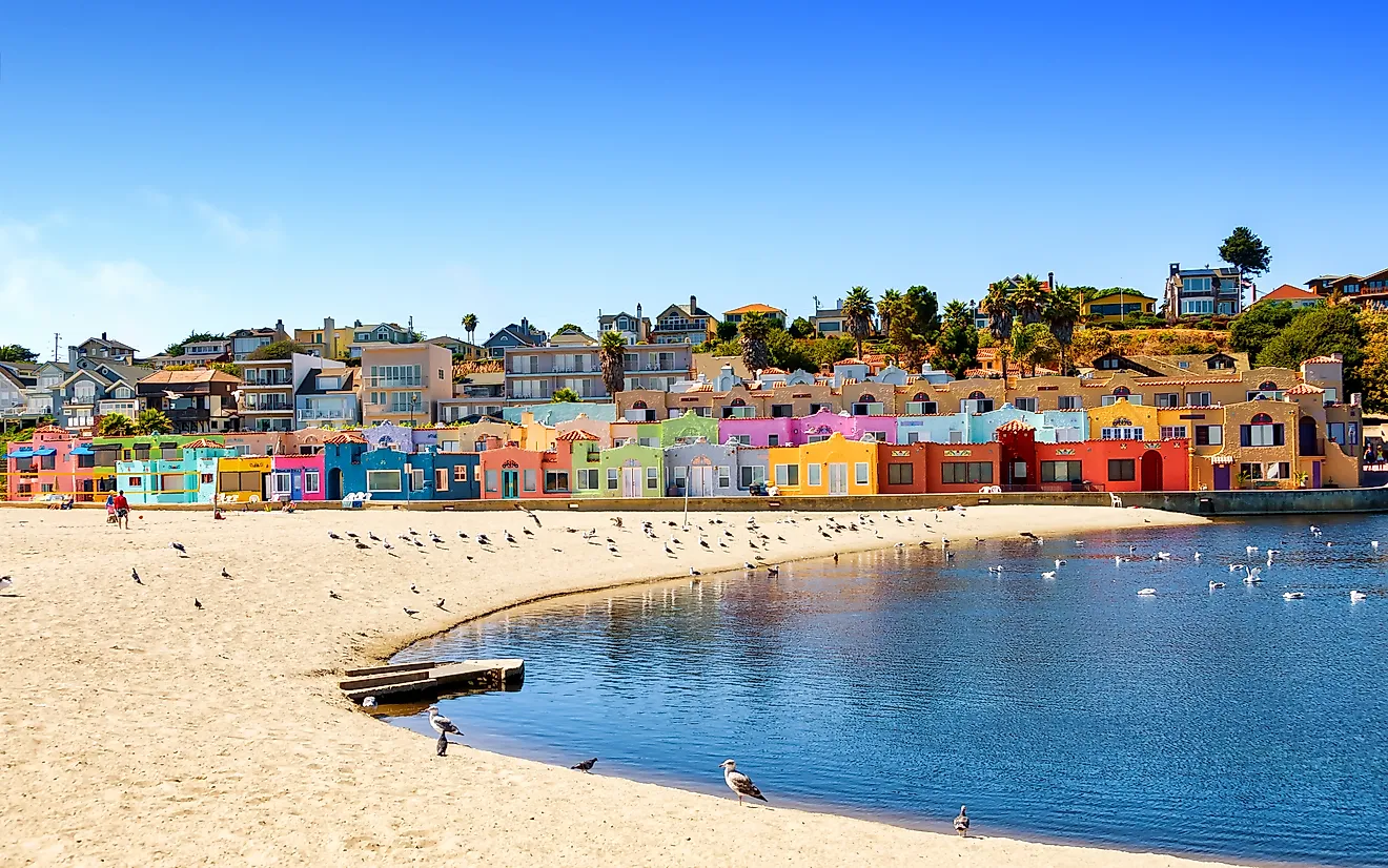
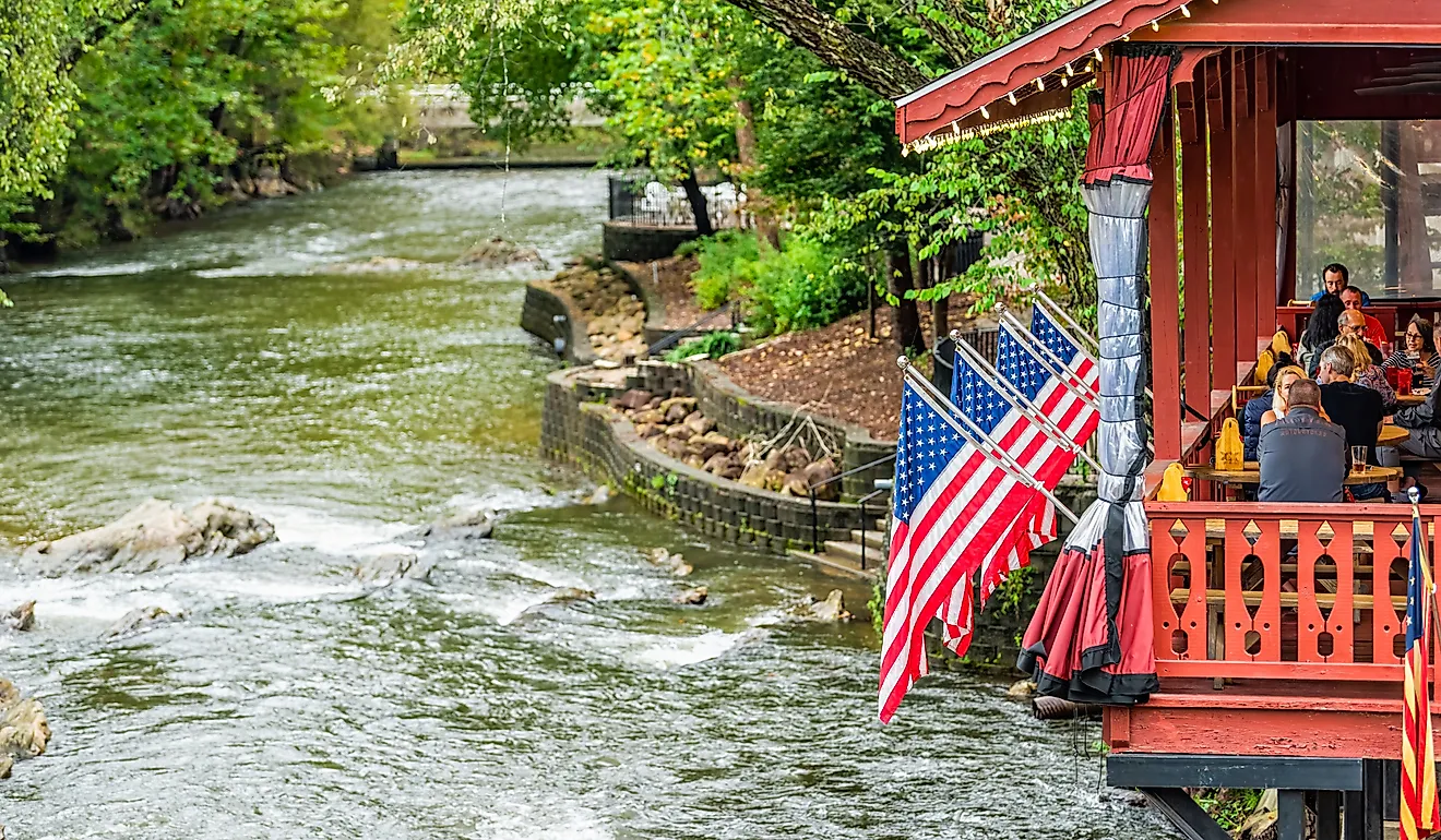
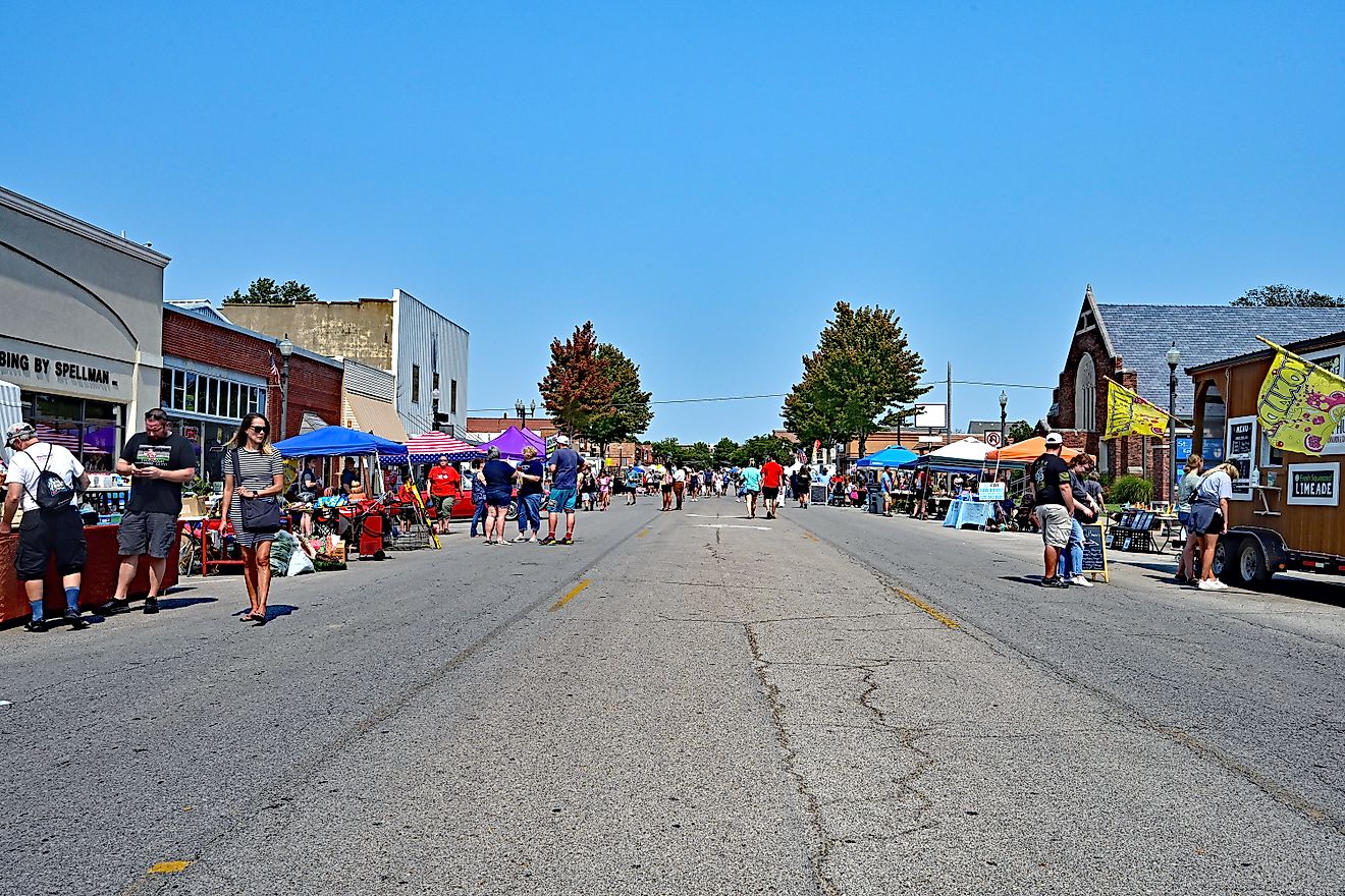
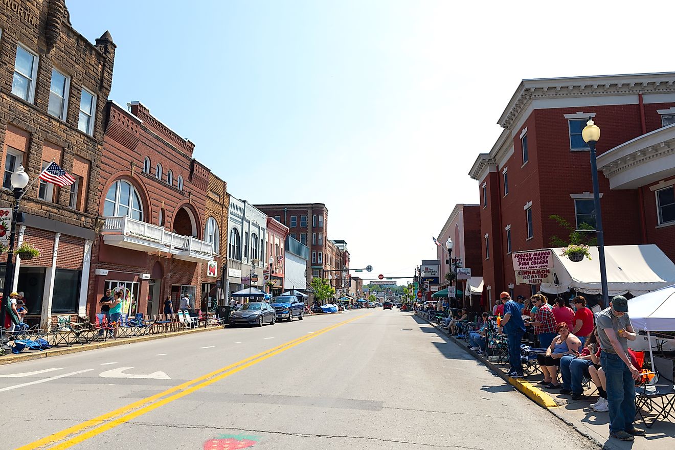
Since 2010, after being declared as “Best Kept Secret in Florida” by the local businesses, tourism has dramatically increased in Navarre. It is situated close to many large military facilities, including the Naval Air Station Whiting Field in the north; the Naval Air Station Pensacola in the west; and the Eglin Air Force Base and the Hurlburt Field in the east. A park located on the mainland next to the Intracoastal Waterway and the Navarre Beach Bridge contains the Panhandle Butterfly House, a duck pond, playground, gazebos, etc. The Park offers many outdoor recreational activities like boating, paddle boarding, surfing, fishing, bird watching, jogging, etc., for both the residents and the visitors. Navarre is slowly developing into an ecotourism destination, and many wildlife sanctuaries like Navarre Beach Marine Life Sanctuary, Emerald Coast Wildlife Refuge, and others have been established. The Navarre Beach Fishing Pier, which has a length of 471 m, is considered the longest fishing pier in Florida and the Gulf of Mexico.
Brief History Of Navarre

In 1693, the Spanish explorers Admiral Andres de Pez y Malzarraga and Carlos de Siguenza y Gongora started exploring the sites in Northwest Florida that would be suitable for Spanish colonization. While traveling close to the East Bay area, the explorers discovered the present East Bay River and named it “The River Jordan” in honor of Captain Jordan de Reina. The sailors of the Spanish ships also discovered that some Native Americans were observing them from a small camp located close to the shore. The camp was, however, quickly abandoned by the Natives before the Spanish could reach the shore. The Spanish named the campsite “El Robledal” after the large number of oak trees in the area. In the 1840s, the earliest modern settlers near Navarre came to the Holley area. Colonel Guy H. Wyman founded Navarre and created the original place in 1925. He named the large area in the Florida Panhandle after the Spanish province of Navarre. Initially, Navarre remained sparsely populated. Rapid development started only in the 1960s after a bridge was constructed from Navarre to Santa Rosa Island.