The 7 Most Dangerous Bodies Of Water In North Carolina
North Carolina has more water access than many people realize. Ocean beaches, inland lakes, and long river systems shape daily life across the state, drawing swimmers, boaters, anglers, and pet owners outside year-round. That access also comes with risks that are easy to underestimate. Coastal surf can turn dangerous without warning, inlets shift with tides and sand, and inland waters can hide pollution, algae, or changing conditions below the surface. Boating and swimming incidents increase during peak seasons, often during ordinary outings. Weather records, environmental monitoring, boating reports, and state health data often turn up these examples of beautiful water destinations that merit a little extra attention and planning to keep everyone safe.
Oregon Inlet

Oregon Inlet, North Carolina
Oregon Inlet is a narrow passage between Pea Island and Bodie Island that connects the Atlantic Ocean to Pamlico Sound. It is well known for fishing, wildlife, and coastal views, but it is also one of the most difficult inlets on the East Coast. Strong tides push against wind and waves, and shifting sandbars can alter the channel without warning. Conditions that appear manageable can turn rough very quickly.
In recent years, several serious boating accidents and fatalities have shown how dangerous this inlet can be for experienced captains. Locals describe a long pattern of boats running aground, capsizing, or sustaining damage when conditions change faster than expected. The inlet remains in daily use because it is a vital route for working fishermen and charter boats. The best advice is straightforward: check tides and weather closely, follow navigation guidance, avoid rough conditions, and never underestimate how fast Oregon Inlet can change.
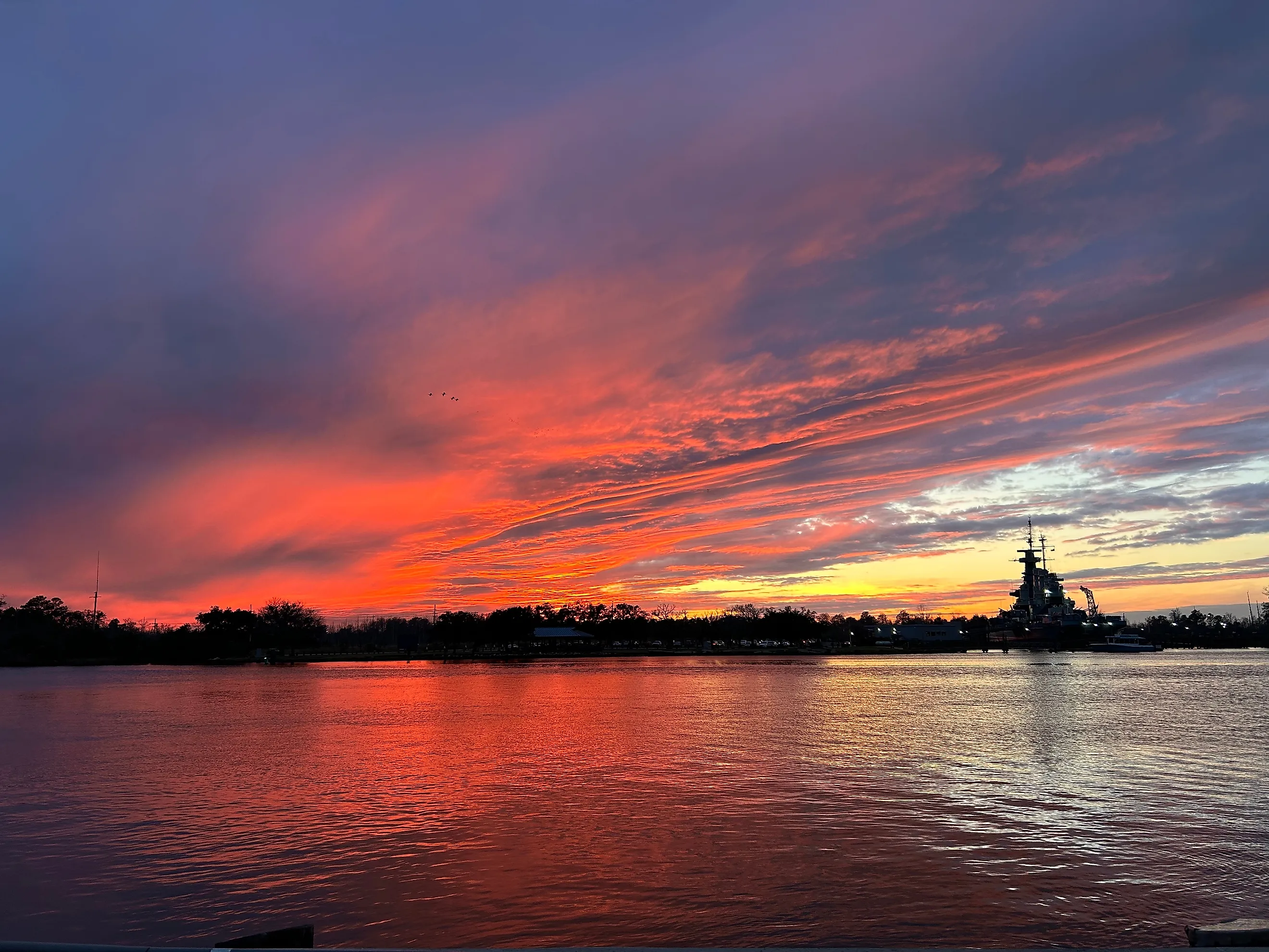
Lake Norman

Lake Norman, North Carolina.
Lake Norman is the largest man-made lake in North Carolina, covering about 32,000 acres. It is a popular setting for boating, swimming, and summer gatherings, especially around Mooresville and nearby coves. That popularity brings added risk. Between 2012 and 2023, 28 people died on Lake Norman, the highest total linked to a single lake in the state during that period. Most deaths involved drownings or boating accidents, often during busy summer months. Recent seasons have included crashes involving rental boats, crowded party areas, and swimmers without life jackets. These incidents frequently occur during routine recreation rather than severe weather. Other risks include warm water, nighttime boating, and congested channels. Wearing life jackets, avoiding alcohol, following no-wake zones, and staying close to shore can reduce danger while still allowing people to enjoy the lake.
Cape Fear River

The Cape Fear River flows for about 200 miles before reaching the Atlantic Ocean and passes through quiet wetlands as well as the city of Wilmington. People kayak, fish, and boat along its marshy banks, where birds are common and alligators live in the lower stretches. The larger concern is water quality. The U.S. Environmental Protection Agency classifies the solvent 1,4-dioxane as likely to be carcinogenic to humans, and monitoring has found some of the highest levels in the country within the Cape Fear River Basin. PFAS pollution, including compounds such as GenX, is another serious issue linked largely to industrial discharges upstream. Research on wildlife in the watershed has reported PFAS in fish and alligators, raising questions about long-term ecosystem and human health. Because the river supplies drinking water to more than a million residents, state agencies and local utilities track contamination closely. Visitors should follow advisories, avoid untreated water, and pay attention to fishing and swimming guidance.
Jordan Lake

Jordan Lake, North Carolina.
Jordan Lake sits just south of Raleigh and covers about 14,000 acres. On typical days, the lake draws boaters, anglers, and families who come for swimming areas, picnic shelters, and wooded trails. Wildlife is part of the setting. Northern water snakes and eastern rat snakes live along the shoreline and are often mistaken for venomous species, though they usually avoid people if left alone. Risk at Jordan Lake increases during the summer. Warm water can raise concerns about waterborne illness, and boating accidents tend to rise during peak season. Heavy rain and flooding can make conditions far more dangerous by hiding stumps, changing depths, and strengthening currents. After major storms, local officials sometimes warn people to stay off the lake until water levels and debris improve. Safety improves by respecting closures, wearing life jackets, swimming only in marked areas, and avoiding the water after major storms.
Haw River

Haw River, North Carolina.
The Haw River runs for about 110 miles through central North Carolina before joining the Deep River and forming the Cape Fear River. It is known for trails, rocky stretches, and whitewater sections that attract paddlers and hikers. During normal flow, the river can feel calm in certain areas, but after heavy rain, currents can rise quickly and catch people off guard. Water quality is a growing concern. A 2024 court decision allowed the cities of Asheboro, Greensboro, and Reidsville to continue discharging wastewater that can contain 1,4-dioxane into the Haw and Deep rivers. This colorless, odorless chemical can move downstream into drinking-water sources used by many communities, and the EPA considers it likely to be carcinogenic to humans. Environmental groups and health advocates have pushed for stricter limits and better monitoring. Anyone swimming or paddling should check current water-quality updates and avoid the river after storms or during advisory periods.
Black River

Black River, North Carolina. Editorial Photo Credit: Corey Coyle, CC BY 3.0, via Wikimedia Commons.
The Black River winds through southeastern North Carolina, crossing Sampson, Bladen, and Pender counties before joining the Cape Fear River. Stretching more than 60 miles, it flows slowly through dark, tea-colored water and dense cypress swamps. The setting feels quiet and ancient, shaped by towering bald cypress trees, some of which rank among the oldest known in the eastern United States.
North Carolina is home to dozens of native snake species, and the Black River supports many of them along its banks and backwaters. Cottonmouths, also called water moccasins, are common here and are among the most water-adapted pit vipers in North America. They often float high on the water’s surface, making them easier to spot. While venomous bites are uncommon, caution is still important, particularly when stepping over fallen logs or wading into murky shallows. Hidden logs, slow currents, and narrow channels can also challenge boaters, and drownings have been reported over the years. Wearing boots along the banks, watching where hands and feet go, and giving snakes space helps keep visits safer and calmer.
Pamlico Sound

Pamlico Sound, North Carolina.
Pamlico Sound stretches across eastern North Carolina and is the largest lagoon along the U.S. Atlantic coast. It runs roughly 80 miles in length and remains relatively shallow, which makes it popular for sailing, crabbing, and fishing. That same size and shallow depth make weather the greatest danger here. Storms and strong winds can arrive quickly and turn manageable water into rough conditions within minutes. North Carolina recorded 19 fatal boating accidents in 2023, several of them occurring in or near major coastal sounds and rivers such as the Pamlico and Neuse. Recent incidents have included collisions between boats and personal watercraft, capsizings during rough weather, and mechanical failures that left people in the water far from shore. Commercial fishing vessels have also sunk during storms, leading to difficult search-and-rescue efforts.
Sharks such as bull and blacktip sharks live in nearby coastal waters, though attacks in this area remain rare. Rip currents near inlets add more risk for swimmers and small craft. Checking marine forecasts, wearing life jackets, avoiding solo trips, and staying off the water when high winds are predicted all help reduce danger.
Paying Attention Makes the Difference

North Carolina’s waters can appear calm, but surface conditions do not always tell the full story. Fast-changing inlets, crowded lakes, and slow rivers affected by pollution can create danger that is not immediately visible. In some areas, weather shifts quickly; in others, water-quality problems develop over time. Busy boating seasons and popular swimming spots add risk, even on clear days. These waters are not dangerous all the time, and many people enjoy them every year without trouble. Problems usually occur when warning signs are ignored or when familiar locations are assumed to be safe under all conditions. Paying attention to forecasts, posted advisories, and local guidance makes a real difference. Wearing life jackets, avoiding the water after storms, and respecting wildlife help people enjoy these waters while staying safer.


