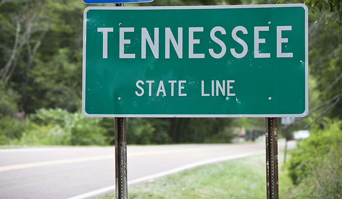
Which States Border Tennessee?
The US state of Tennessee is situated in the southeastern region of the country. It is the 36th most extensive state covering an area of approximately 42,143 square miles. With a population of about 6.7 million inhabitants, Tennessee is the 16th most populous state. The eastern part of the state is dominated by the Appalachian Mountains while the Mississippi River forms its western border. What is currently the state of Tennessee was part of North Carolina and later part of the Southwest Confederacy. It joined the Union on June 1, 1796, as the 16th state and was the last state to leave the Union and join the Confederacy. However, it was also the first state to be readmitted to the Union at the end of the American Civil War. Tennessee is bordered by eight other states, the most of any state besides Missouri. Below are the states that share their boundary lines with Tennessee and a brief overview of the boundaries.
The Almost Straight Tennessee-Kentucky Border
Tennessee and Kentucky share a boundary line to the north of Tennessee. Interestingly, Kentucky is bordered by the second-highest number of states (7) after Tennessee and Missouri (8 each). The Tennessee-Kentucky boundary line is not a straight line. It shifts up and down several times on its long journey from Mississippi River to the Appalachian Mountain. The most notable shift is the area between the lands and lakes that jumps north by a few miles and shifts south by about 12 miles to form what people often refer to as “Tennessee chimney.” The boundary then proceeds in a near perfect straight line to the Mississippi River. The shifts resulted from human error and imperfect surveying equipment. The placement of the boundary line was also influenced by disagreement between surveyors. The mislocated boundary line cost Kentucky almost 2,500 square miles of land.
Virginia-Tennessee Boundary
Tennessee shares its northeastern border with Virginia. The Virginia-Tennessee boundary as it exists today was originally surveyed as a border between Virginia and North Carolina. None of the Tennessee officials was involved making the boundary as there was no state of Tennessee until 1796 when the western portion of North Carolina became a state. The officials from the state had their impact on the Virginia-Tennessee boundary in 1802, six years after admission to the Union. Several lawsuits and political compromises finalized the boundary. The first event that shaped the modern borderline between the two states was a decision made in 1962 by King Charles I to give the land between the 31 degrees parallel and 36 degrees parallel to Sir Robert Heath, his then attorney. Heath named the land Carolina. In 1645, the grant was revoked by parliament. However, the boundaries defined in 1929 remained. In 1663, Charles II Granted the Charter of Carolina to grant land to those who had helped him during the English Civil War. The 1728 survey marked the boundary between Virginia and North Carolina as a line running from the Atlantic Ocean inland all the way to the Dan River. In 1790, North Carolina finally let go its western territory which became Southwest Territory and finally the State of Kentucky in 1796. The Virginia-Tennessee boundary as it is today is based on inadequate expertise, lawsuits, and political compromise of the 18th century.
North Carolina-Tennessee Border
Tennessee is bordered by North Carolina to the east. The state of Tennessee did not exist until 1796. However, what is now considered Tennessee was the western portion of the state of North Carolina. North Carolina authorized the cession of its western territory to the federal government in 1789 and finally relinquished the territory in 1790. The area became the Southwest Territory which finally became the state of Tennessee in 1796. Soon after the admission of the State of Tennessee to the Union, North Carolina passed an Act that would accurately and distinctively establish its western boundary. In 1799, North Carolina appointed commissioners to survey the line while Tennessee did not appoint any commissioners. The commissioners located the line as running from Virginia state line to Paint Rock on French Broad River. However, Tennessee legislatures objected leading to prolonged litigation which was only settled by the Supreme Court in 1915, the decision of which sustained the survey conducted by the commission in 1799.
Tennessee Southern Boundary
Tennessee is bordered to the south by three states; Mississippi, Alabama, and Georgia. All the three states and Tennessee were created from North Carolina. In 1729, the colonies of North and South Carolina were formed from the Carolina Colony but there was no border set between the two colonies west of the Appalachian Mountain. In 1732, South Carolina was divided into South Carolina and Georgia. Alabama would be formed from Georgia Colony. In 1735, North and South Carolina finally agreed on the 35th parallel as the boundary between them, leading to the 35th parallel as the boundary line between western North Carolina (which finally became the State of Tennessee) and western Georgia (which later became the states of Mississippi and Alabama).
Arkansas-Tennessee Border
Tennessee shares its western border with the state of Arkansas. The Mississippi River has for the longest time been Arkansas’ eastern boundary. However, by the nature of the river, the boundary keeps changing, sometimes radically. Because of the changes, the two states have been operated under a legal principle known as avulsion. Under this principle, no state gains when sudden changes of the river take land from one side to the other. Despite the legal principle, several controversies relating to the boundary still arose. The Supreme Court finally resolved that the boundary line is in the middle of the main channel of the Mississippi River.
Missouri-Tennessee Border
Missouri borders Tennessee to the northwest. The two states are encircled by the Kentucky Bend, a portion defined by an oxbow loop meander of the Mississippi River. Missouri connects to Tennessee by an interstate bypass 115 that extends from Hayti to Dyersburg.


