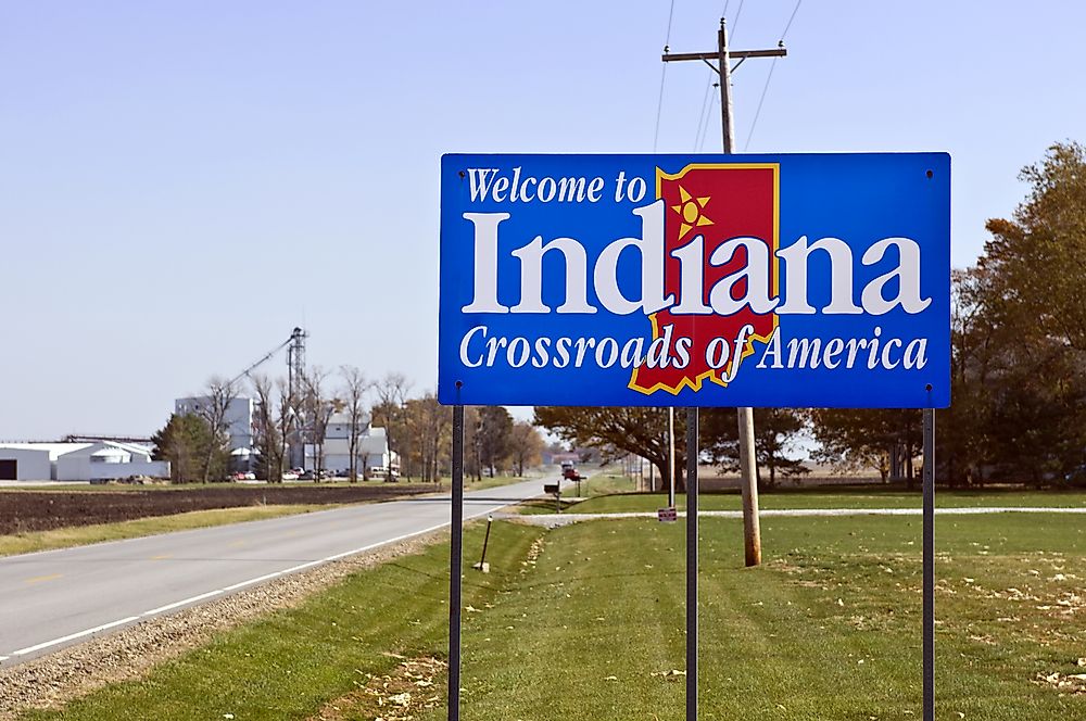
Which States Border Indiana?
The state of Indiana is the 28th-largest in the United States by land area. The state is bordered by the state of Kentucky on the south, Illinois on the west, Ohio on the east, and on the north by Michigan and Lake Michigan. The state was admitted into the Union on December 11, 1816. Indianapolis has served as the capital of the state since 1825. Modern-day Indiana's economy is primarily based on manufacturing, services, and agriculture to a lesser extent.
Ohio
Indiana and Ohio territories were divided in 1800 by Congress. The border between the two territories was established along the Meridian by the Ordinance of 1787. William Henry Harrison, who had previously held the post of secretary of the first Governor of the Northwest Territory, was appointed as the Territorial Governor of Indiana in the same year. He held the post up until 1812 when he resigned during the war with the British in 1812.
Lake Michigan and Michigan
Indiana has shoreline on Lake Michigan for around forty miles. Some of the towns on Lake Michigan in Indiana include Michigan City and Gary.
Early Indiana settlers also wanted more access to the lake which was limited by the initial line. The northern border remained ambiguous as the area was sparsely populated and therefore did not provoke much interest. Efforts to push the border further north intensified once Ohio was granted statehood in 1803 becoming the 17th, state. At the time residents of Indiana pressured Congress to push the border further north.
An Act dividing Indiana Territory that created Michigan and divided Indiana was passed by Congress in 1805. However, it did not clarify the northern borderline as was desired. The act however established the governing of Michigan Territory with Detroit as the Capital. Efforts by the people of Indiana to have more proportionate access to Lake Michigan would continue for the next decade. A petition to Congress for the establishment of the state of Indiana by the Indiana Territorial Legislature in 1815 further advocated that border moves further north. On April 19, 1816, Congress passed the Enabling act for Indiana to become a State. The Act also pushed the Northern boundary 10 miles further north from the southernmost point of Lake Michigan to accommodate the interests of the residents of the state. The new border was placed at 41 degrees, 38 minutes and 58 seconds effective December 11, 1816, by the Congress of Indiana.
Kentucky
The Ohio River forms the boundary between the states of Indiana and Kentucky. The border initially separated the Holdings of Virginia and the Old-Northwest Territory. Virginia eventually ceded part of the land and divided it between Kentucky and Northwest Territory. The deed documenting the cessation was however silent on the exact borderlines. That resulted in a dispute between Indiana and Kentucky over the border. Kentucky held that its border extended on the opposite side of the shore at the highest watermark. The dispute was tabled at the Supreme Court which held that the lowest watermark would form the border, in favor of Indiana’s claims. The ruling did not manage to end the dispute as Kentucky claimed the whole river to be its territory and collected millions of dollars in revenue over the Rivers use. Another ruling was delivered by the US Supreme Court in 1980 establishing the low water mark on the Indiana and Ohio shores as the boundary as was the case in 1792 when Kentucky became a state. The states were directed to settle the matter. Determining the low water mark proved to be challenging as the river's course had changed considerably since 1792. The low water mark of 1792 was finally established by the US Geological Survey using data obtained from surveys conducted in 1896 and 1914 by the Corps of Engineers.
Illinois
Indiana shares its longest border with Illinois. The place where Illinois, Indiana, and Kentucky intersect forms a tri-state area in which Evansville, Indiana is the largest city.
Current Status
At present, the state does not have significant border issues with its neighbors. The total area of the State of Indiana is currently 36,420 square miles and is home to an estimated 6,483,802 people.


