Which States Border Maine?
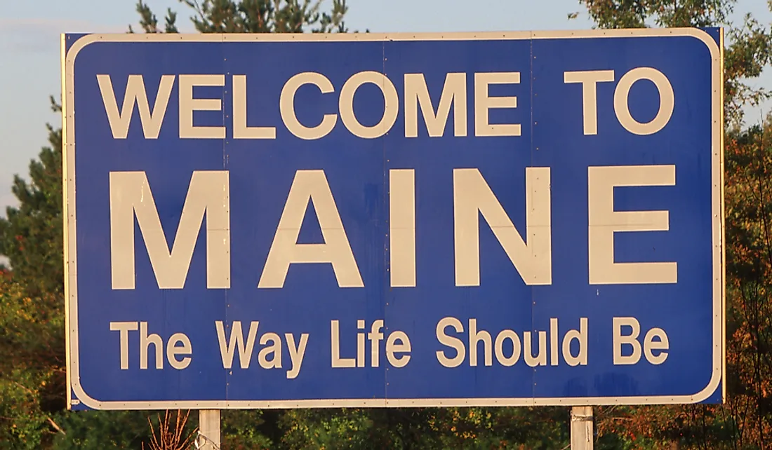
Maine is a 35,385 square mile state located in the north-eastern edge of the United States. The state is ranked as the 39th largest in the US. Native American communities have lived in the area for thousands of years. The borders of Maine began taking their present-day shape after the arrival of the Europeans in the region. The first Europeans to arrive in Maine were the Portuguese; however, they did not settle in the region. The French were the first European community to settle in Maine during the early 17th century. In the modern era, Maine only shares its borders with one other US state, New Hampshire, as well as the Canadian provinces of Quebec and New Brunswick.
History of Maine's Borders
The present-day territory of Maine was initially part of Massachusetts Bay Colony. Maine was fully integrated into the colony by 1652. However, the British and the French constantly fought over the area. During the 1740s, the British defeated the French and part of Maine's territory fell under the control of Nova Scotia, a Canadian province. During the American Revolution as well as the War of 1812 American and British forces constantly fought over the territory of Maine. During the conflict, the British regularly occupied the eastern half of Maine. After the end of the revolution, and the signing of the Treaty of Paris, Maine's territory was transferred to the control of Massachusetts. However, the boundaries between British North America and the US were finalized in 1842. In 1842, leaders from the US and British North America met to resolve several border disputes including a dispute over the border between Maine and New Brunswick. The dispute had led to a conflict between the two countries that was referred to as the Aroostook War. The British and US leaders finally agreed to share the disputed territory between them. Maine became a state in 1820 and inherited part of Massachusetts' border with New Hampshire. Part of the boundary between Maine and New Hampshire traces the path of the Piscataqua River.
Features Along the Maine-New Hampshire Border
One of the most well-known features along the border between Maine and New Hampshire is the Isles of Shoals which is made up of several islands such as Appledore Island, Smuttynose Island, and White Island. Appledore Island is the biggest island within the Isles of Shoals and is part of Maine's territory. During the colonial era, Appledore Island was initially settled by the Europeans who used its land for farming. In 1700, everyone who lived in Appledore Island moved to Star Island to escape taxes that had been imposed by the government of Massachusetts. Star Island is the second largest island within the Isles of Shoals. It is unique because it is the only island in the group that is served by a ship from the mainland. Since 1915, the Star Island Corporation has owned and operated the entire island. The corporation has close ties to several organizations such as the United Church of Christ. Star Island is primarily used as a place to host conventions most of which are closely related to religious organizations.
Towns on the Maine Side of the Border
There are several important towns located on the Maine side of the border such as Wilson Mills, Andover, and North Waterford. Andover is a relatively small town in Maine and it was home to about 821 people in 2010. Businesspeople from Andover in Massachusetts initially purchased most of the land that would later make up Andover in Maine. The first people to settle in Andover were the family of Ezekiel Merrill who came to the area from Bethel in canoes operated by the Pequawket tribe. Another major town on the Maine side of the border is Alfred which is the seat of York County. Alfred is home to different important areas in York County such as the county jailhouse, the county court, and the county shelter. Major William Phillips initially purchased the land where Alfred is located from a group of Native American chiefs. He bought the land in exchange for several items such as two large blankets, several musket balls, and two gallons of rum. During the 18th century, Alfred was home to communities of Shakers who lived near Massabesic Pond. The number of Shakers in the area declined significantly towards the end of the 19th century and the start of the 20th century. The community was closed down in 1931, and the remaining members moved to another Shaker community in Maine. A museum was established to commemorate the influence of the Shakers in Alfred.
Towns on the New Hampshire Side of the Border
Some of the major towns located on the New Hampshire side of the border include Dover, Union, and Portsmouth. Dover is a relatively large town and in 2017 it was home to about 31,398 people. Martin Pring is believed to have been the first European to explore the territory that later became Dover. Dover was initially settled in 1623 making it New Hampshire's oldest permanent settlement as well as the seventh oldest in the US. George Burdett named the town Dover in honor of, Robert Dover, a lawyer who was against Puritanism. Another major city in the New Hampshire side of the border is Portsmouth. In 2017, it was estimated that Portsmouth was home to about 21,796 people.
The Border Dispute Between Maine and New Hampshire
New Hampshire and Maine were involved in a border dispute regarding the ownership of an island within the Piscataqua River known as Seavey's Island. The leaders of Maine believe that since the boundary between the two states was located in the middle of the river, the island belongs to Maine. The leaders of New Hampshire, on the other hand, believed that New Hampshire had a historical claim to the island. The US Navy used Seavey's Island as the site of a naval shipyard, and the government of Maine imposed income tax on the workers of the shipyard even if they lived in New Hampshire. The government of New Hampshire was against the income tax, and the issue was presented to the Supreme Court. The Supreme Court ruled in Maine's favor, and the island was placed under the control of Maine.
The Uniqueness of Maine's Borders
Maine is the only US state to border only a single state. The state's southeastern edge borders the Atlantic Ocean while it borders Canada’s provinces of Quebec and New Brunswick on the northwestern and northeastern parts respectively.


