Which Countries Border Mali?
Where Is Mali?
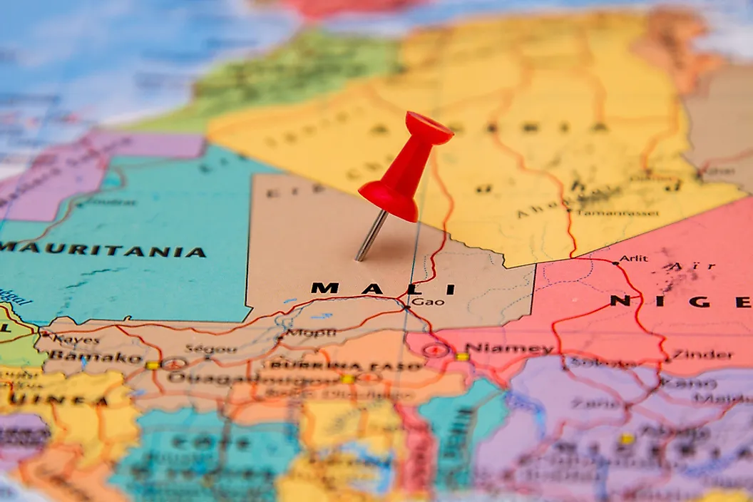
Mali is a country located in the central region of West Africa. The country has a population size of over 14.51 million, and more than two-thirds of these individuals live in rural areas. Additionally, more than 90% of Mali's population lives in the southern half of the country. Mali covers a total area of 478,841 square miles, and only 1.6% of this area is covered in water, namely the Niger River and Senegal River. These rivers provide water for agriculture, human consumption, and wildlife throughout Mali. More than half of the land is covered by desert habitats, and two of the largest and most well known deserts in the country are the Sahel and Sahara Deserts. Although Mali is primarily associated with its arid, sandy environment, it is also home to a number of other habitats. Beyond the desert regions, for example, the terrain begins to change. In the northern part of Mali, the geography is characterized by hilly terrain, and this elevated landscape becomes large, wide open plains and grassland areas in the southern regions.
Mali is a landlocked country, which means that its 4,500-mile long land border does not come into contact with an open ocean. Its landlocked status means that Mali must maintain friendly international relations with its neighboring countries in order to compete in international trade. Its neighboring countries with direct access to the ocean include: the Ivory Coast, Senegal, and Guinea. In total, Mali shares its borders with seven other autonomous countries: Mauritania, Algeria, Burkina Faso, Guinea, Niger, Ivory Coast, and Senegal. This article highlights these borders.
Mauritania
The border between Mali and Mauritania stretches for 1,390 miles, making it the longest shared border in Mali. The border is located along the western and northwestern edges of the country, and forms a shape similar to a backwards “L” because of its long, straight lines. After independence, Mali and Mauritania had an ongoing border dispute that was eventually resolved in 1963. In recent years, both governments have worked to establish improved roadways to facilitate travel and transportation of goods across the border.
Algeria
The border between Mali and Algeria has a length of 855 miles and is located along the northeastern edge of Mali. In recent years, Mali has experienced political turmoil and violent incidents that have prompted the government of Algeria to close certain parts of the shared border. In addition to building a barrier along the shared border, the Algerian government has also sent military troops to guard the area, with the aim of preventing Malian militant groups from entering Algeria.
Burkina Faso
The border between Mali and Burkina Faso has a length of 621 miles and is situated along the southeastern and south central region of Mali. The western edge of the border straddles the Sahel Reserve, the majority of which lies in Burkina Faso. The reserve provides an important stopover for birds on their migratory path and has several temporary lakes and ponds during the wert seasons. The border between these two countries has not always been peaceful. In fact, during the 1970s and 1980s, Mali and Burkina Faso were engaged in a violent dispute over a small area known as the Agacher Strip. Both governments believed the region contained a number of natural resources. Today, the Agacher Strip is part of Burkina Faso.
Guinea
The border between Mali and Guinea has a distance of 533 miles along the southwestern edge of Mali. These two countries share a gold mine that straddles the shared international boundary. In 2017, the mine was the site of a violent encounter between residents of both countries as they fought over the rights to gold deposits. However, the governments of Mali and Guinea have a relatively peaceful relationship. For example, Mali relies on access to Guinea in order to reach its seaports which are an important part of international trade.
Niger
The border between Mali and Niger has a distance of 510 miles along the eastern and southeastern edge of Mali. The two countries were part of a larger project in 2015 and 2016 referred to as the Coordinated Border Management in Mali, Niger, Mauritania, and Burkina Faso. The Japanese government is working to fund border markers along these borders. It is important to increase the security and delineation between these two countries given the increasing number of militant groups active throughout the area. However, this violence has only increased since the project launched. In 2017, for example, militant groups killed 4 US soldiers and 13 Niger police officers along the border between Mali and Niger. In response, border management has become a top priority for local governments.
Ivory Coast
The border between Mali and the Ivory Coast has a length of 330 miles along the southernmost edge of Mali. Violent turmoil in both countries has lead to significant activity along the shared border. In 2011, numerous migrants and refugees crossed the border from the Ivory Coast into Mali as they fled the country's violence and political instability. Four years later, militant insurgents increased their activity in Mali and crossed the border into the Ivory Coast. In response, the Ivory Coast's government increased security in the area.
Senegal
The border between Mali and Senegal has a length of 260 miles, making it the shortest international border in Mali. The border runs along the westernmost edge of Mali and generally follows the course of the Faleme River, which continues through Senegal and empties into the Atlantic Ocean. Mali and Senegal are connected by border crossing points and the Dakar-Niger Railway. The railway runs for 799.7 miles from Dakar, Senegal to Koulikoro, Mali. The rail route is used primarily for transporting goods, although limited passenger service is also offered.


