Maps of Vermont
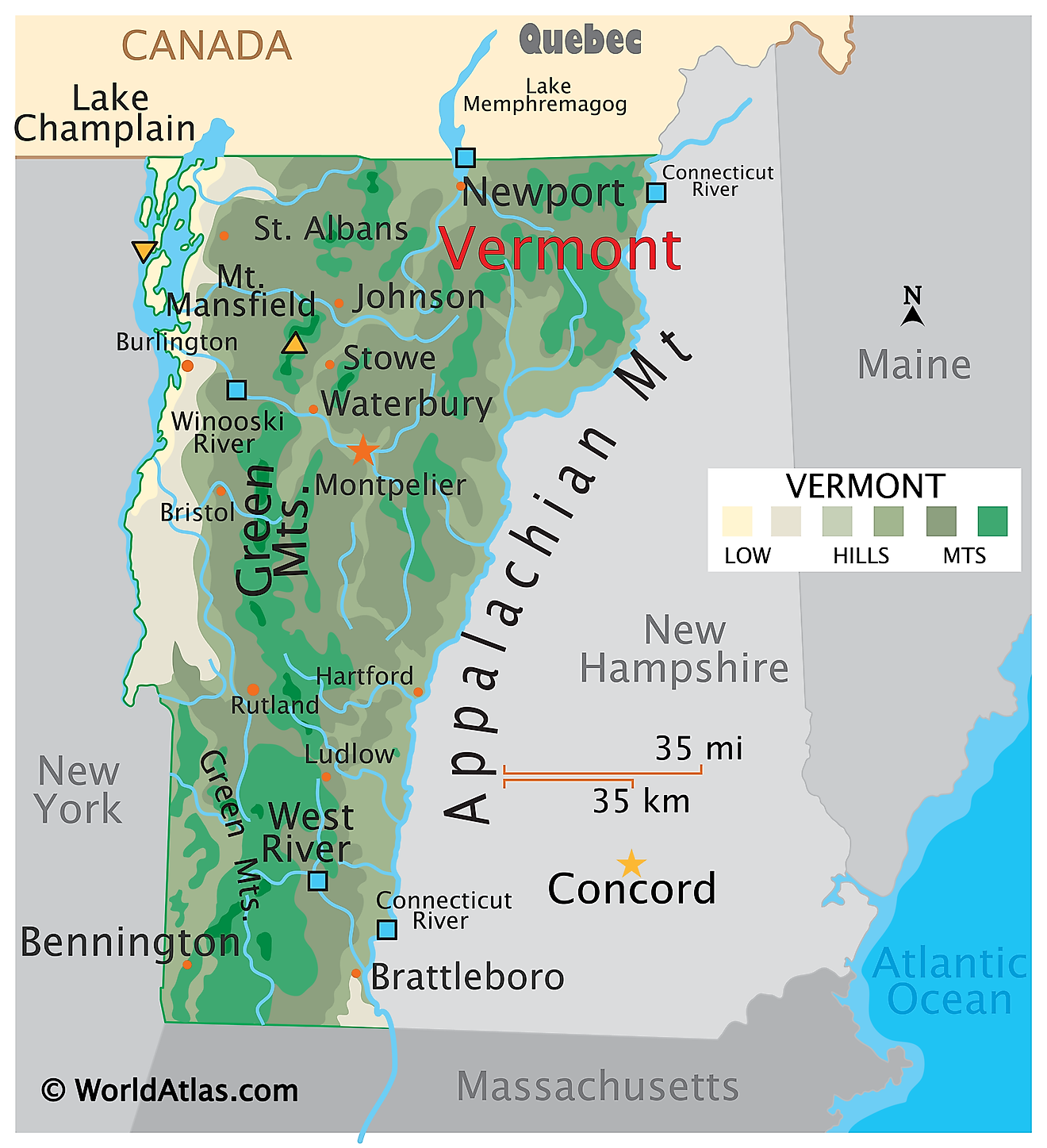
Vermont, also known as the “Green Mountain State”, is located in the New England region of the United States. It borders the province of Quebec, Canada, to the north, New Hampshire to the east, Massachusets to the South, and New York to the west. The Connecticut River divides Vermont and New Hampshire.
Montpelier, the capital of Vermont, is located in the north-central part of the state. Burlington, however, situated in the northeast, is the state's most populous city, boasting a population of just over 44,000 residents.
The English first settled in Vermont in 1724, building Fort Dummer in the area. In 1777, Vermont declared itself an independent republic, separate from the British colonies of New Hampshire, New York, and Quebec. Fourteen years later, it became the 14th state of the United States, which recognized its previously established constitution and laws.
Area
Vermont has a land area of 9,616 square miles (24,906 square kilometers), which makes it the sixth smallest state in the country. It is about twice the size of Qatar and ten times smaller than the United Kingdom. Compared to other US states, it is roughly the same size as Massachusetts.
Bodies of Water
Vermont is home to over 800 lakes, with 220 being bigger than 20 acres. Some of the most notable include Lake Memphremagog, at 39 miles squared (102 kilometers squared), Lake Champlain, at 490 miles squared (1,269 kilometers squared), and Lake Bomoseen, at 3.7 miles squared (9.6 kilometers squared).
Vermont also has roughly 7,099 miles (11,425 kilometers) of rivers. Three of the most significant include the Connecticut River, which forms the state’s eastern border, The Winooski River, which flows from central Vermont into Lake Champlain, and Otter Creek, which flows through western Vermont with its mouth also ending in Lake Champlain.
Geography of Vermont
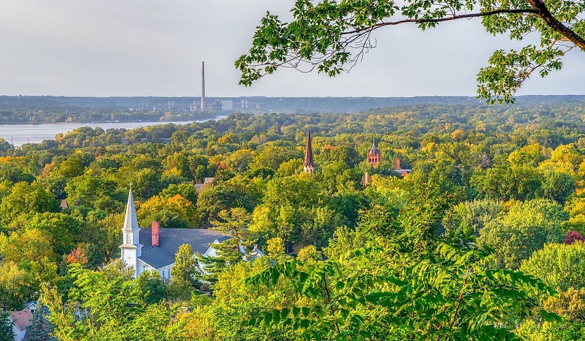
Vermont is fairly hilly and mountainous and is heavily forested. The state can be divided into five physiographic regions: the Green Mountains, the Northeastern Highlands, the Taconic Mountains, the Champlain Lowlands, and the Vermont Piedmont.
Green Mountains
Vermont’s Green Mountains, a part of the Appalachian Mountain range, stretch from the Massachusetts border in the south to the Quebec border in the north. They extend for about 250 miles (400 kilometers). Deciduous forests primarily cover them, although there are also portions of coniferous forests. Grassy ski slopes, wetlands, and tundra are also scattered throughout.
Northeastern Highlands
The northeastern highlands, situated in northeastern Vermont, are characterized by metamorphic rock, nutrient-poor soil, dense forests, streams, and glacial lakes. The Northeastern Highlands are sparsely populated, with hot summers and chilling winters.
Taconic Mountains
The Taconic Mountains run along the southwestern border of Vermont, extending near the southern edge of the Green Mountains. At higher elevations, forests consist of maple-beech-birch and some spruce-fir, while at lower elevations, hickories and oaks are common. The range is composed of a local rock structure, Taconic Allochthon, which contains slate, limestone, schist, and phyllite.
Champlain Lowlands
The Champlain Lowlands extend from New York through northwestern Vermont, before ending in Quebec. Valley clay plain forests span the area, and the land is heavily used for agricultural purposes. Winters are typically very cold, although the region’s lakes slightly moderate the climate.
Vermont Piedmont
The Vermont Piedmont is primarily located in the southeastern portion of Vermont, at the foothills of the Green Mountains. The region’s bedrock is metamorphic, with calcium-rich rocks. Northern hardwood forests and oaks are common. There is also a fairly diverse agricultural presence in the areas that are not densely forested.
Counties Map
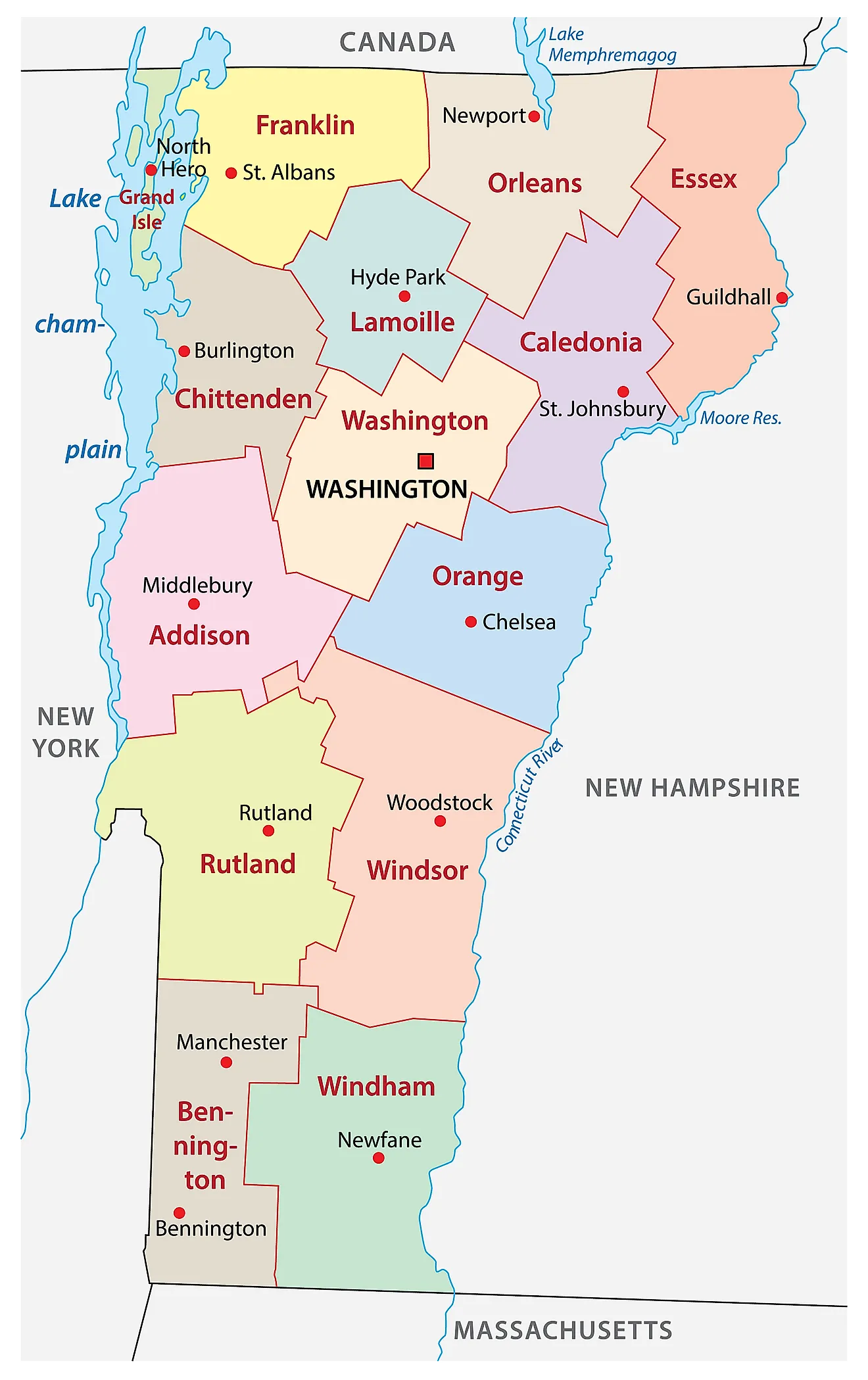
The State of Vermont is divided into 14 counties. In alphabetical order, these counties are: Addison, Bennington, Caledonia, Chittenden, Essex, Franklin, Grand Isle, Lamoille, Orange, Orleans, Rutland, Washington, Windham, and Windsor.
With an area of 24,906 sq. km, Vermont is the 6th smallest and the 2nd least populous state in the USA. Located in the north-central part of the state is Montpelier – the capital city of Vermont. It is also the least populous state capital in America. It serves as the administrative, insurance, education, and tourism center of the state. The capital city is also known for its worldwide production of granite memorials. Situated in the northwestern part of the state, near the US-Canada border is Burlington – the largest and the most populous city in Vermont. The state’s biggest hospital – the University of Vermont Medical Center is located within the city. In 2015, it became the 1st city in the US to operate completely on renewable energy.
Where is Vermont?
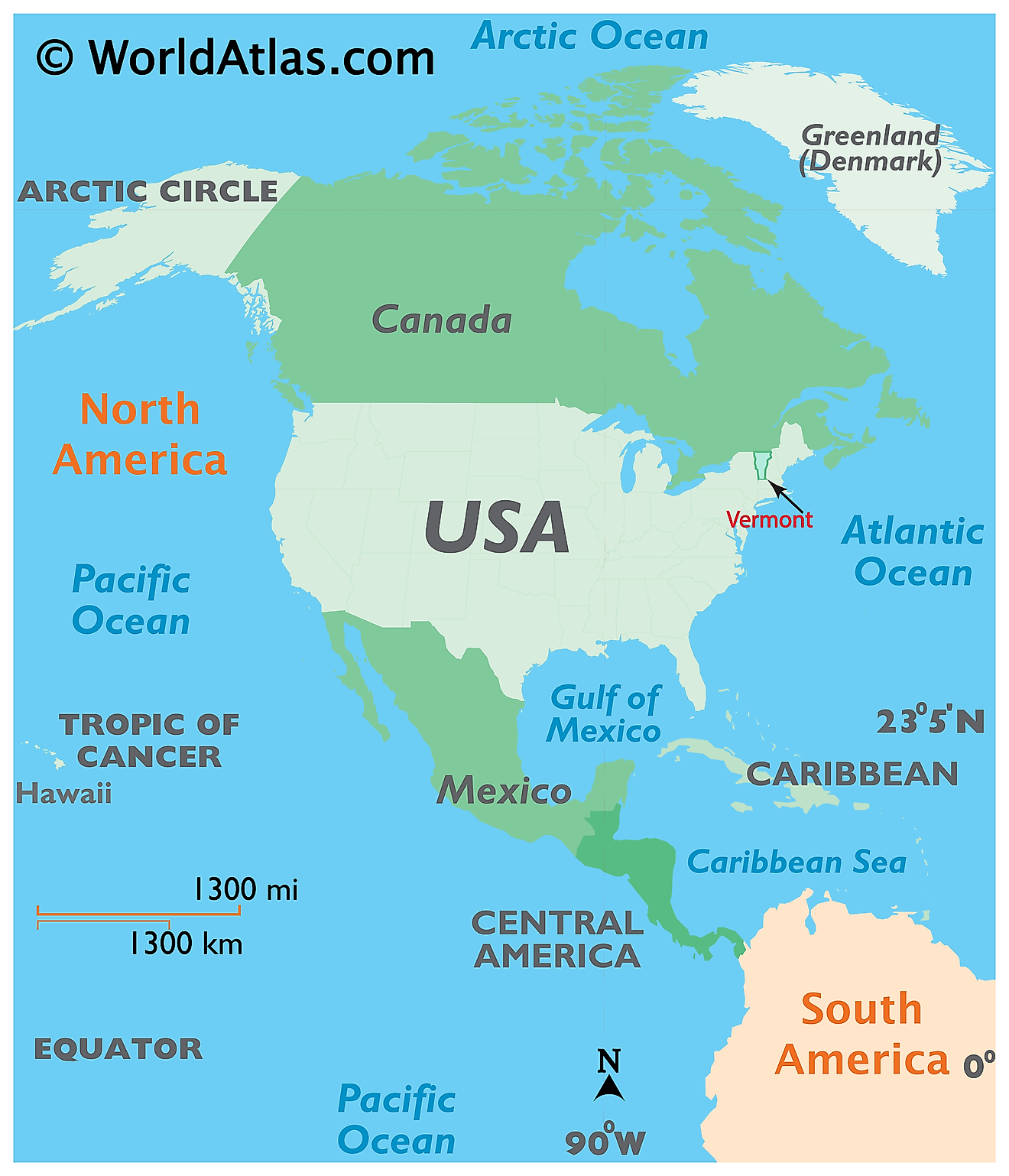
The State of Vermont is located in the northeastern (New England) region of the United States. The landlocked Vermont state is bordered by Massachusetts in the South; by New Hampshire in the east; by New York in the west and by the Canadian province of Quebec in the north.
Regional Maps: Map of North America
Outline Map of Vermont
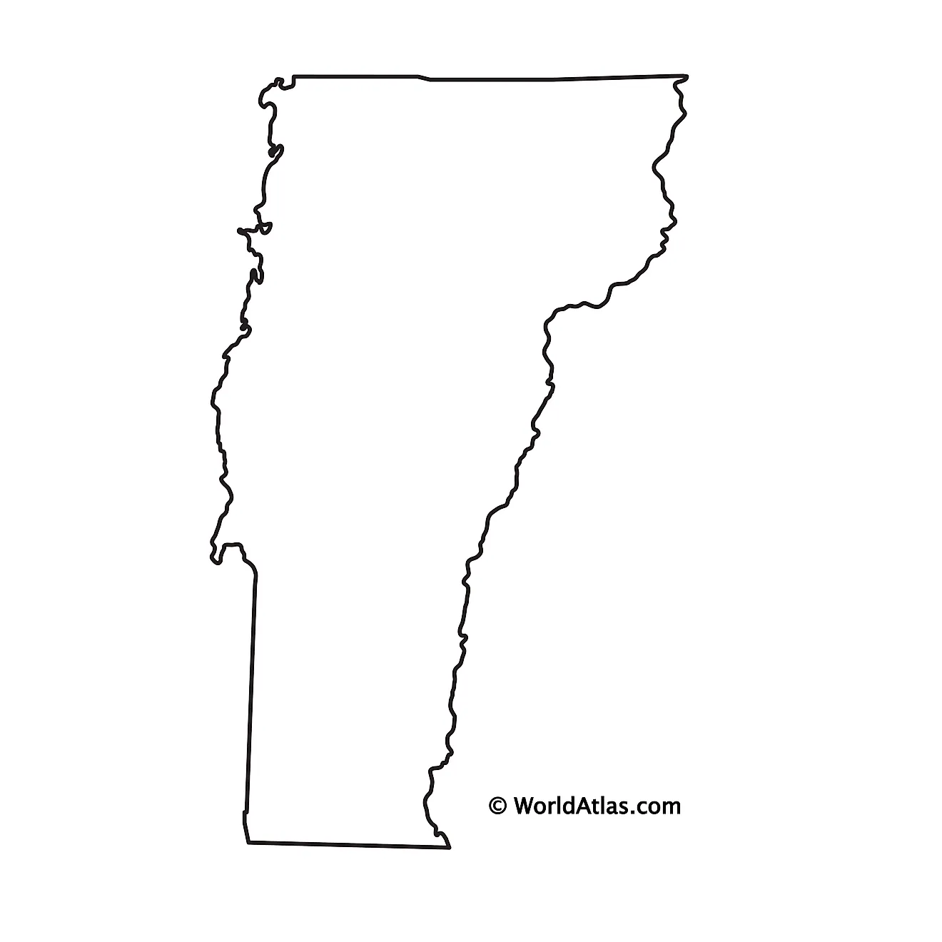
The above blank map represents the State of Vermont, located in the northeastern (New England) region of the United States. The above map can be downloaded, printed and used for geography education purposes like map-pointing and coloring activities.
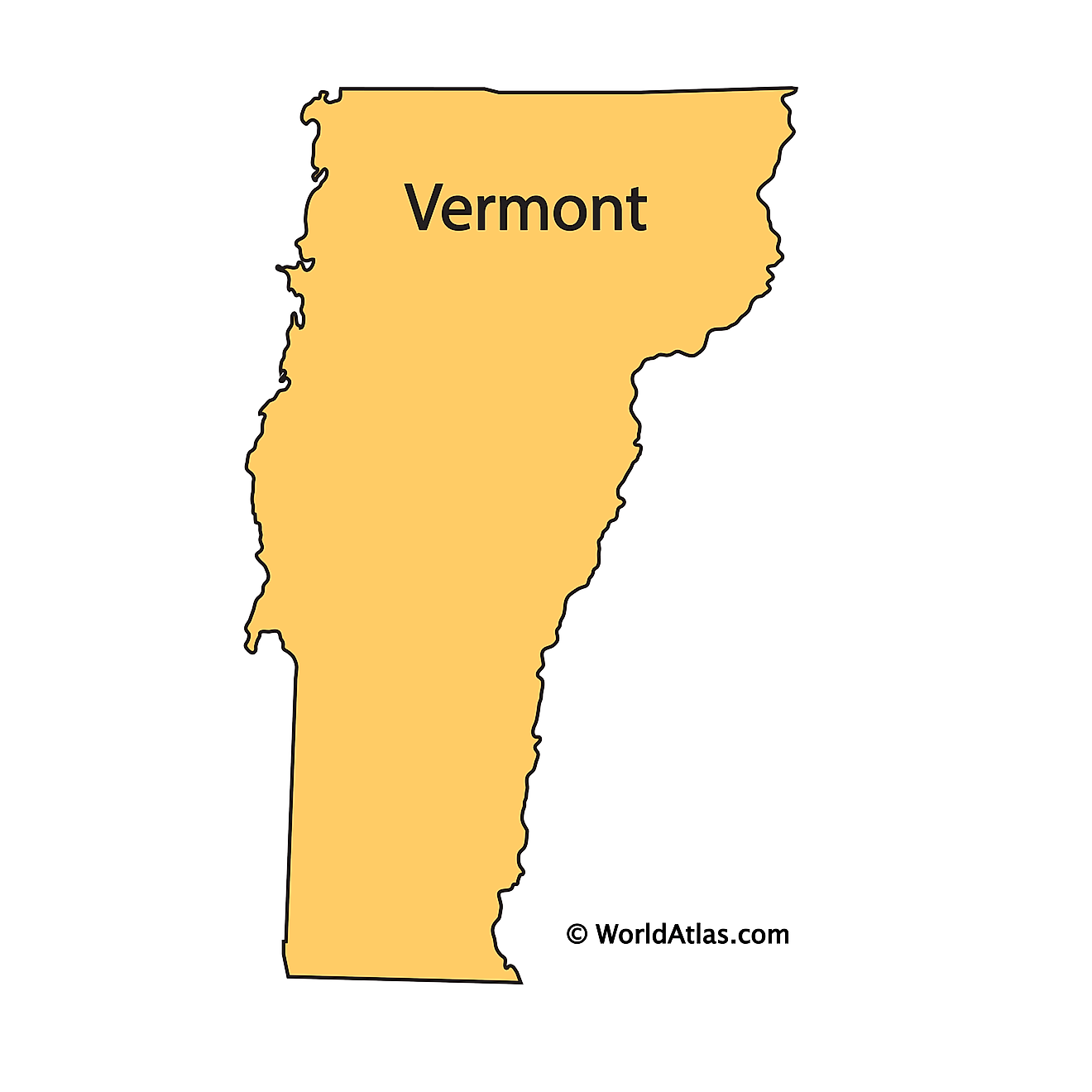
The above outline map represents the State of Vermont, located in the northeastern (New England) region of the United States.
Key Facts
| Legal Name | State of Vermont |
|---|---|
| ISO 3166 Code | US-VT |
| Capital City | Montpelier |
This page was last updated on July 19, 2024

