Maps of New York

New York, nicknamed the Empire State, is located in the northeastern US along the Atlantic. It borders five states: Pennsylvania, New Jersey, Connecticut, Massachusetts, and Vermont. It also borders the Canadian provinces of Quebec and Ontario, which the Saint Lawrence River partly separates. Concerning bodies of water, Lake Ontario and Lake Erie border to the northwest, and the Atlantic Ocean borders to the southeast.
Area
New York State covers a land area of 54,556 mi² (141,299 km²), which makes it the 27th largest state by land size. It is about twice the size of Scotland and half the size of The Philippines. Compared to other US states, it is roughly the same size as Alabama.
Population and Cities
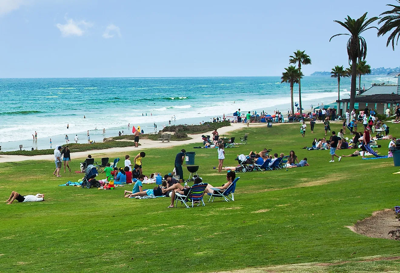
New York State has a population of approximately 19.6 million people, with 8.3 million living directly in New York City. Hempstead Town, Brookhaven, and Islip are also major cities according to population size.
Geographical Regions & Highlights
While New York has many geographic features, these are some of the most prominent in terms of land area and tourism.
Finger Lakes
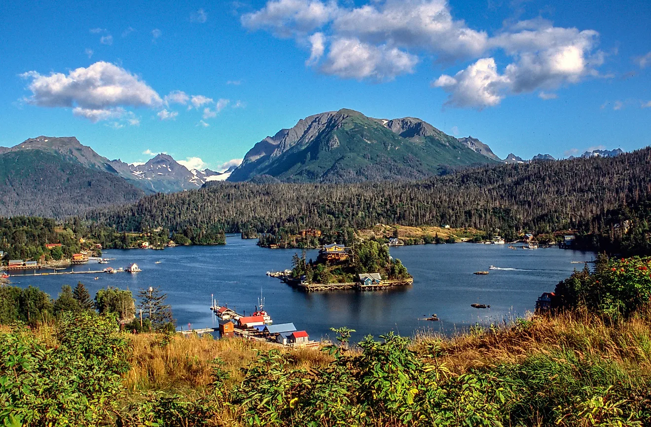
New York is home to the Finger Lakes, a touristic collection of 11 long, narrow lakes that resemble fingers. Seneca Lake is the largest, at approximately 69 mi² (179 km²), followed by Cayuga, which is just slightly smaller.
Adirondack Mountains
The Adirondack Mountains are a group of mountains in Northeast New York, covering approximately 5,000 mi² (13,000 km²) and comprising more than 100 peaks. Mount Marcy is the most prominent, standing at 5,344 feet (1,629 meters), making it the tallest peak in the state. The region also has hundreds of lakes and ponds.
Allegheny Plateau
The Allegheny Plateau, in southern-central New York, is a large, eroded plateau that extends from the Western Appalachian Mountains and transitions into the Catskills in the southeast. Hardwood forests mostly cover the plateau’s area.
Tug Hill
Tug Hill is an upland region in Northern New York, known for its heavy snow in the winter. Although people sometimes refer to it as the Tug Hill Plateau due to its flat top, it is actually a cuesta. The Black River Valley divides it from the Adirondack Mountains.
Erie-Ontario Lowlands
The Erie-Ontario Lowlands are located in western New York, with most of the area now a remnant of a prehistoric lake, Glacial Lake Iroquois. Although this region is referred to as a “lowlands”, the elevation is actually quite variable, with some elevations reaching up to 1,100 feet (335 meters).
Atlantic Coastal Plain
The Atlantic Coastal Plain surrounds Long Island and part of Staten Island. The shores of the islands as well as expansive forests, known as “Pine Barrens” compose the area. A massive moraine makes up a large part of this area, with current-day Long Island sitting on the moraine.
Niagara
The Niagara region is located in the extreme west of New York and consists of lowlands, with Lake Ontario to the north. This region is most well known for Niagara Falls, one of the continent’s largest natural attractions. It borders Lake Erie to the south, Lake Ontario to the north and Canada to the west.
Counties Map

The State of New York is divided into 62 counties. In alphabetical order, these counties are: Albany, Allegany, Bronx, Broome, Cattaraugus, Cayuga, Chautauqua, Chemung, Chenango, Clinton, Columbia, Cortland, Delaware, Dutchess, Erie, Essex, Franklin, Fulton, Genesee, Greene, Hamilton, Herkimer, Jefferson, Kings, Lewis, Livingston, Madison, Monroe, Montgomery, Nassau, New York County, Niagara, Oneida, Onondaga, Ontario, Orange, Orleans, Oswego, Otsego, Putnam, Queens, Rensselaer, Richmond, Rockland, Saint Lawrence, Saratoga, Schenectady, Schoharie, Schuyler, Seneca, Steuben, Suffolk, Sullivan, Tioga, Tompkins, Ulster, Warren, Washington, Wayne, Westchester, Wyoming, Yates.
With an area of 141,300 sq. km, New York is the 27th largest and the 4th most populous state in the USA. Located on the Hudson River, about 230km north of New York City is Albany – the capital city of New York. It serves as the administrative, cultural, industrial, transport, and economic center of the state. Situated on the edges of a natural harbor in the southeastern part of the state, New York City is the largest city in the New York state and the largest and the most populous city in the United States. It serves as a center for media, finance, research, culture, education, politics, sports, and tourism. It also hosts the headquarters of the United Nations and is one of the most populous megacities of the world.
Where is New York?

The State of New York is located in the northeastern United States. New York is bordered by New Jersey, Pennsylvania, and the Delaware River in the south; by the states of Connecticut, Massachusetts, and Vermont in the east; by the Canadian province of Quebec in the north and by Ontario, St. Lawrence River, and Lake Ontario in the northwest. It is bounded by the Atlantic Ocean in the southeast. New York also shares a maritime border with Rhode Island, in the east of Long Island.
Regional Maps: Map of North America
Outline Map of New York

The above blank map represents the State of New York, located in the northeastern United States. The above map can be downloaded, printed and used for geography education purposes like map-pointing and coloring activities.

The above outline map represents the State of New York, located in the northeastern United States. New York has been nicknamed as the "Empire State" and is the only U.S. state that include both parts of the Great Lakes and the Atlantic Ocean, within its borders.
Key Facts
| Legal Name | State of New York |
|---|---|
| ISO 3166 Code | US-NY |
| Capital City | Albany |
| Major Cities |
|
This page was last updated on May 21, 2024