Why Some American Rivers Flow North
North is only "up" on a map. For a river, the important direction is downhill. Gravity pulls water from higher elevation toward lower elevation, so a river will run north, south, east, west, or circle between several of those directions if the land gives it that route. The Nile, for example, crosses northeastern Africa toward the Mediterranean; long stretches of the Rhine run north through western Europe toward the North Sea. Nothing unusual is happening in either case. The land simply falls that way.
The more interesting question is how a northward slope formed in the first place. Across the United States, there is no single answer. Ice sheets flattened some basins and blocked older outlets. Faulting opened long valleys elsewhere. On very low coastal plains, a difference of only a few dozen feet can control hundreds of miles of drainage. Several major American rivers now head north for completely different geological reasons, which makes their shared compass direction much less important than the terrain underneath them.
Red River of the North

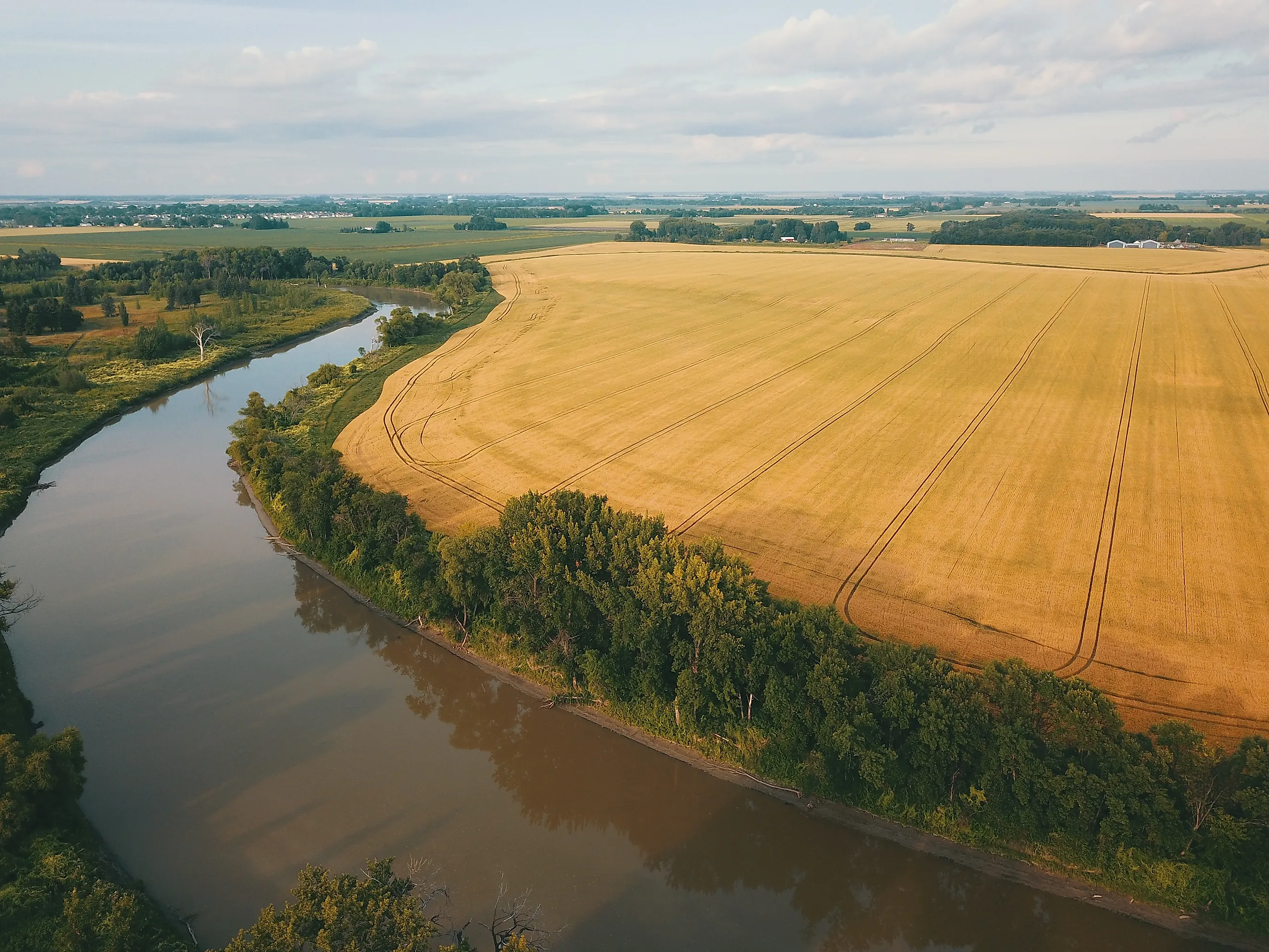
Stand near Wahpeton, North Dakota, and the Red River of the North begins about 943 feet above sea level. Follow it north to Lake Winnipeg and its destination is roughly 714 feet above sea level. The numbers settle the question before the river has gone a mile: Canada is downhill. The route runs across the former floor of glacial Lake Agassiz, an enormous body of meltwater that covered parts of the northern United States and Canada near the end of the last Ice Age. Fine sediment settled across the lake bottom and left an exceptionally flat plain behind.
That flatness becomes especially important in spring. USGS measurements show that some stretches of the Red lose less than half a foot of elevation per mile. Snow often melts earlier in the southern end of the basin while ice remains farther downstream in the colder north. Water moving toward Canada can then encounter frozen channel sections or ice jams. Combined with the shallow slope of the old lakebed, that helps produce the broad floods for which the Red River Valley is well known.
St. Johns River

Florida manages to send a major river north with almost no slope at all. The St. Johns travels roughly 310 miles from marshes in east-central Florida to the Atlantic near Jacksonville, but the St. Johns River Water Management District says the river drops less than 30 feet over that distance. Averaged across its course, the fall is around one inch per mile.
The river occupies a low trough in Florida's Atlantic Coastal Plain. Its headwaters are not a mountain stream but a spread of shallow marshes. Farther north, the channel widens through lakes and broad wetlands because there is so little elevation available to accelerate the water. Coastal development over geological time also helped establish the modern drainage route by limiting more direct flow toward the Atlantic along parts of the peninsula.
The tiny gradient is easy to see in the river's behavior near the coast. Atlantic tides can push water backward through the lower St. Johns, and the water management district says tidal influence can cause reverse flow as far upstream as Lake Monroe during low-flow conditions. That is about 160 river miles from the mouth. The temporary southward current does not change the drainage direction; over time, the river still loses elevation toward Jacksonville and the ocean.
Willamette River

The Willamette River runs through western Oregon with its headwaters to the south and the Columbia River waiting to the north. Its main stem covers roughly 187 miles before reaching the Columbia at Portland. The surrounding geography leaves little mystery about the direction. The Willamette Valley lies between the Coast Range and Cascades, and the valley floor descends toward the Columbia. Ice Age floods later added another layer to that landscape. USGS research shows that repeated Missoula floods swept into the valley near the end of the Pleistocene and deposited huge volumes of sediment across its lowlands. Those floods did not create the river's northward drainage, but they helped shape the broad valley the modern river crosses. Even near Portland, the river does not move north every second of the day. USGS measurements show that tides and backwater from the Columbia can briefly reverse current velocity during low-flow periods. The net movement still carries Willamette water north into the Columbia.
Genesee River

The Genesee begins in the hills of northern Pennsylvania and heads into New York, eventually reaching Lake Ontario at Rochester. The City of Rochester places the river's total length at roughly 160 miles and gives an elevation loss of about 2,250 feet between its source and Lake Ontario. A river dropping more than two thousand feet hardly needs an exception to gravity simply because most of that trip points north.
What gives the Genesee its complicated course is the Ice Age work done on an older valley. USGS studies describe glaciers deepening sections of the preglacial Genesee valley by hundreds of feet, filling other sections with sediment, and temporarily ponding meltwater in glacial lakes. As the ice retreated, drainage shifted through the altered terrain. The modern river cuts through some of those deposits and drops through steep gorges along the way. At Letchworth State Park, the Genesee descends through a gorge with major waterfalls before continuing north. Near Rochester it drops again, including at High Falls, then covers its final miles to Lake Ontario.
Monongahela River

The Monongahela flows out of West Virginia and continues north into Pennsylvania, arriving in Pittsburgh beneath the city's steep river hills. There it meets the Allegheny River and forms the Ohio. The Monongahela's direction becomes much more interesting once the older drainage map is reconstructed. Before the Pleistocene ice sheets repeatedly reached western Pennsylvania, water from this region continued beyond modern Pittsburgh toward a drainage system farther to the northwest.
Advancing ice eventually blocked northern outlets. Water backed up behind those obstructions and formed large lakes, including the body geologists commonly call Lake Monongahela. Sediments from those former lakes are still part of the geological record around the upper Ohio basin.
The blocked water later found lower escape routes across drainage divides. Continued erosion enlarged those outlets and helped establish the westward Ohio River system that exists today. The Monongahela kept approaching Pittsburgh from the south, but water leaving Pittsburgh was redirected into a different continental drainage network. That history explains the sharp directional change on a modern map: the Monongahela comes north into the city, then its water departs toward the southwest as part of the Ohio.
New River

The New River starts in North Carolina's Blue Ridge and works generally north through Virginia before entering West Virginia, where it cuts through the Appalachian Plateau and eventually joins the Gauley River to form the Kanawha. Around New River Gorge, the channel lies about 1,000 feet below parts of the surrounding plateau, with relief reaching roughly 1,500 feet in places. The National Park Service links the drainage to the much older Teays river system, although one popular claim deserves caution. The New is often advertised as one of the oldest rivers on Earth, yet NPS notes that published age estimates range enormously, from around 3 million to 320 million years. There is no reliable basis for giving it a neat worldwide age ranking. Its northward drainage is easier to establish. Water leaving the Blue Ridge follows progressively lower terrain toward West Virginia, then enters the Ohio-Mississippi system through the Kanawha. The gorge records how deeply that drainage has cut into the Appalachian landscape.