The Most Remote Point In American Waters
Tiny American islands scattered across the Pacific generate enormous maritime zones, placing U.S.-administered waters thousands of miles from the mainland. Wake Atoll alone sits more than 2,100 nautical miles west of Honolulu, while Baker Island lies more than 1,800 nautical miles southwest of the Hawaiian capital. Most Americans will go their whole lives never knowing they even exist. These distant islands extend US waters to an even more isolated place: the most remote point in American waters.
What Constitutes American Waters?

Here, "American waters" includes the U.S. territorial sea and Exclusive Economic Zone, or EEZ. The territorial sea extends 12 nautical miles from the baseline, while the EEZ generally reaches as far as 200 nautical miles. The United States has more than 3.4 million square nautical miles of EEZ, larger than the combined land area of all 50 states. The country's most isolated maritime territory is concentrated in the Pacific, where a handful of tiny islands produce some enormous stretches of U.S.-administered ocean.
The Remote Pacific Islands

The Pacific Islands Heritage Marine National Monument contains some of the most isolated places under U.S. jurisdiction. Covering approximately 495,189 square miles, the monument surrounds seven islands, atolls, and reefs scattered across the central Pacific: Baker, Howland, and Jarvis islands; Johnston, Wake, and Palmyra atolls; and Kingman Reef.
Its isolation can be difficult to grasp from a conventional map. Baker Island is about 1,830 nautical miles southwest of Honolulu, while Jarvis Island lies more than 1,300 nautical miles south of the city. Wake Atoll is farther still at more than 2,100 nautical miles west of Honolulu. Baker, Howland, and Jarvis are uninhabited wildlife refuges, and public access is tightly restricted.
The monument was established in January 2009 and greatly expanded in 2014. It was known as the Pacific Remote Islands Marine National Monument until its name changed to the Pacific Islands Heritage Marine National Monument in January 2025. NOAA and the U.S. Fish and Wildlife Service share management responsibilities.
Howland And Baker Islands

Howland and Baker are among the starkest examples of American isolation in the Pacific. Both are low coral islands near the equator with no permanent population. Entry to either refuge requires a special-use permit from the U.S. Fish and Wildlife Service. Howland Island also holds an unusual place in aviation history. Amelia Earhart and navigator Fred Noonan were attempting to reach the island during their 1937 round-the-world flight when they disappeared over the central Pacific. The Earhart Light remains on Howland as a reminder of that failed approach.
The waters surrounding both islands are ecologically important despite the barren appearance of the land. Seabirds nest in large numbers, while coral communities and other marine life occupy the reefs and deeper waters around them. Their extreme isolation has also limited human disturbance.
The Southern Extreme: Rose Atoll

Rose Atoll lies approximately 130 nautical miles east-southeast of Pago Pago in American Samoa. It is the southernmost point of the United States and the easternmost island in the Samoan archipelago. Its surrounding Rose Atoll Marine National Monument covers roughly 13,436 square miles. Rose Atoll should be treated separately from the Pacific Islands Heritage Marine National Monument. President George W. Bush established Rose Atoll Marine National Monument in January 2009, giving the small atoll its own protected designation.
The atoll is famous for reefs tinted by abundant crustose coralline algae. Its relatively undisturbed ecosystem supports sea turtles, giant clams, reef fish, seabirds, and sharks. The marine waters are now also part of the National Marine Sanctuary of American Samoa. The maritime boundary continues well beyond the tiny amount of exposed land, meaning the southernmost extent of U.S. ocean jurisdiction lies farther south than Rose Atoll itself.
The Northern Extreme: Point Barrow

At the opposite end of the country, Point Barrow, or Nuvuk, projects into the Arctic Ocean from Alaska's North Slope. It is the northernmost point of land in the United States and sits near the meeting area of the Chukchi and Beaufort seas. Point Barrow lies several miles northeast of Utqiagvik, the northernmost incorporated community in the United States. Its exposed position has made it valuable for studying Arctic coastal change. Researchers have used the area to measure wave action, erosion, and sediment movement along the rapidly changing coastline.
The landscape is considerably different from the tropical Pacific islands. Sea ice, shifting sand, severe weather, and wildlife make independent travel beyond Utqiagvik difficult. The surrounding Arctic waters remain important for scientific research, subsistence activities, and monitoring changes in the polar environment.
East And West Meet In The Aleutians

The easternmost and westernmost U.S. points by longitude are both in Alaska's Aleutian Islands. This apparent contradiction exists because the island chain crosses the 180th meridian. Amatignak Island sits at roughly 179 degrees west longitude, making it the westernmost U.S. land by longitude. Semisopochnoi Island extends to roughly 179 degrees east, giving Pochnoi Point the corresponding easternmost distinction.
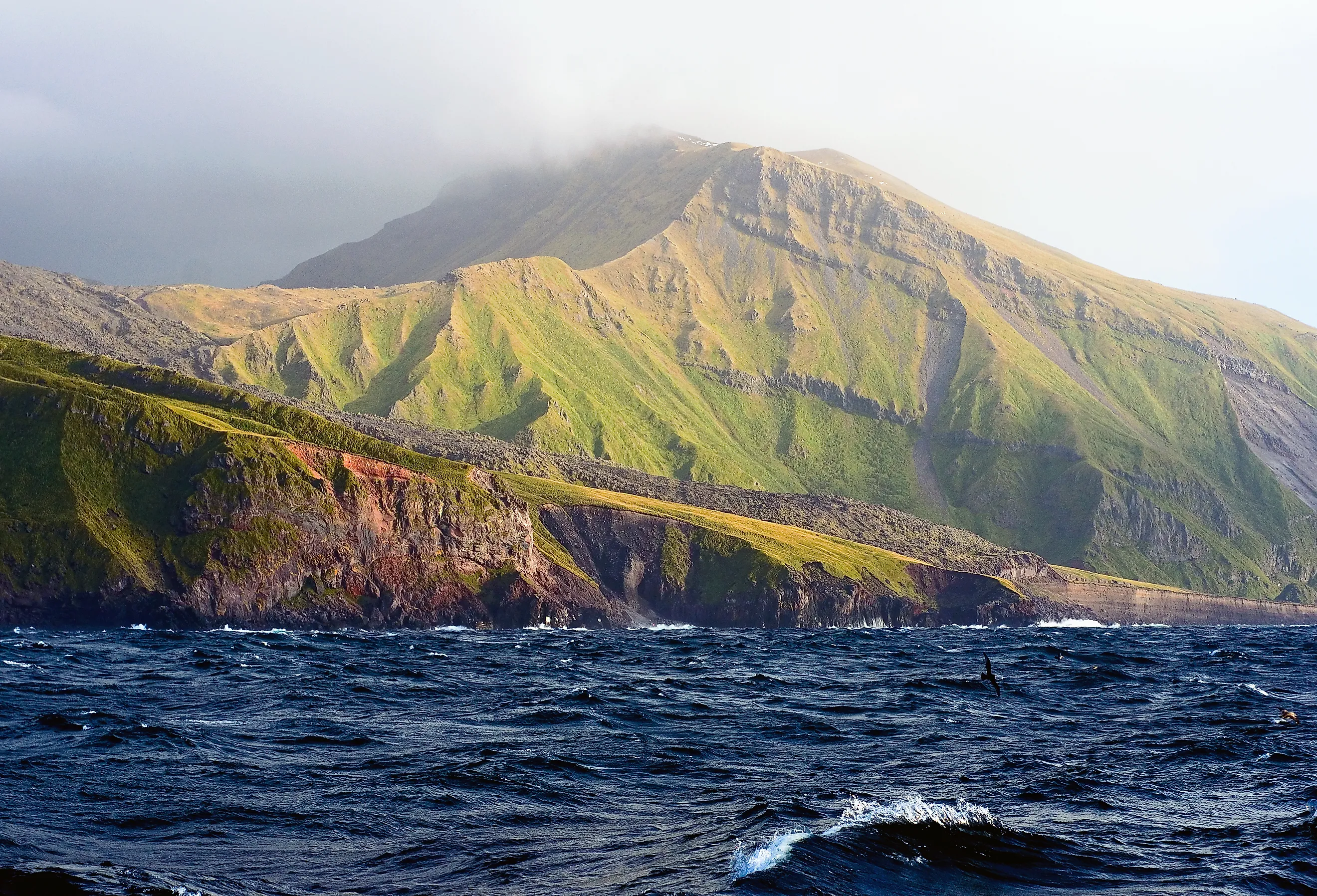
Semisopochnoi is uninhabited and volcanic. It lies about 160 miles west of Adak, the nearest community, and more than 1,100 miles from Anchorage. The island forms part of the Alaska Maritime National Wildlife Refuge, and its volcanic system has remained active in the 21st century. Amatignak is similarly isolated.
How Far American Waters Reach
America's maritime geography is far larger than its familiar land map. The country's EEZ reaches deep into the Arctic, Atlantic, Caribbean, and Pacific, with some of its most isolated sections surrounding islands that few Americans will ever see. A few hundred acres of land can support U.S. maritime jurisdiction across immense stretches of surrounding ocean. Even today, substantial sections of the U.S. seafloor remain unmapped in modern detail, leaving portions of these waters far less understood than the land above sea level.