The River Island Often Called America’s Largest
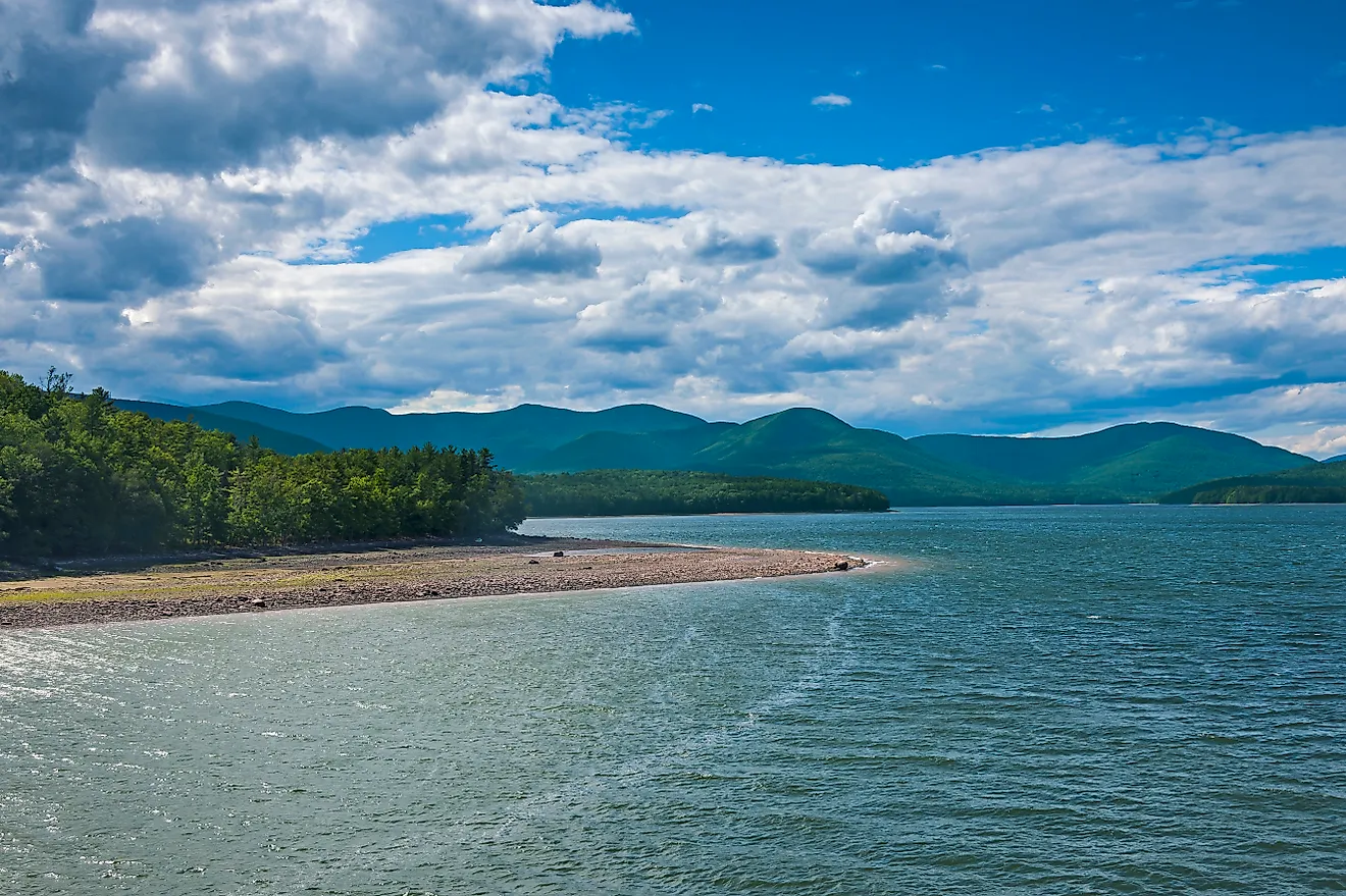
Sauvie Island, where the Willamette River meets the Columbia just outside Portland, Oregon, is the island often called the largest river island in the United States. It covers about 24,000 acres, roughly 1.6 times the land area of Manhattan, and it is the largest island in the Columbia River. A single bridge connects all of it to the mainland.
That bridge carries more than a million visitors a year onto an island where the 2000 census counted 1,078 year-round residents. About half of Sauvie is farmland kept dry behind levees. Most of the rest is a state wildlife area, where a 3,200-acre lake rises and falls with the Columbia's tide. At least two islands farther south could claim more ground, and the water around them behaves very differently.
One Bridge Carries Everyone Across

Every car bound for Sauvie Island leaves U.S. Route 30 and crosses the Multnomah Channel on the Wapato Bridge, also known as the Sauvie Island Bridge. Multnomah County opened the current 1,185-foot span on June 22, 2008, after its main span was floated downriver into place. It replaced the island's first bridge, built in 1950. Before then, the only way on or off was by boat or ferry.
Along the island's side of the channel, Sauvie Island Moorage and Mayfair Moorage hold about 60 floating homes between them, and the island association counts about 445 households in all. By its count, visitors outnumber residents 1,000 to 1.
Levees Hold Back The Columbia

The flood of 1948 broke a levee at Vanport, a city in north Portland, and let the Columbia pour in. Sauvie Island's dikes, newly built at the time, held against the same flood, barely, though roads and pastures on the island's lower end went underwater.
Islanders had started diking in the 1920s against the early-summer freshets that flooded Sauvie every year, and levee building with material dredged from the Columbia began in the late 1930s. Today the system runs about 18 miles and protects 11,200 acres, managed by the Sauvie Island Drainage Improvement Company. Behind it lies most of the island's farmland, including Century Farms held by the same families for at least a hundred years.
October Brings The Island's Heaviest Traffic

The farms on that protected ground draw their biggest crowds in the fall. The Pumpkin Patch, on NW Gillihan Road, adds pumpkin picking to a corn maze that Travel Portland ranks among the largest in the area, and it stays open through the first week of November. On October weekends the traffic gets heavy enough that the island association tells visitors weekdays are the best time to reach a farm stand. Most farm stands and U-pick fields ban dogs under Oregon Department of Agriculture food safety rules.
The picking starts months earlier, with a harvest season that opens in June. About a dozen farms open for U-pick, and Sauvie Island Farms, a third-generation farm, grows peaches and flowers along with its berries.
Cranes And Geese Take The North End

North of the farms, Sturgeon Lake gives winter habitat to about 200,000 geese. The local soil and water conservation district calls the 3,200-acre lake the largest tidally influenced freshwater lake in the United States. A levee built in 1941 restricted the flow into it, and silt built up until most of the lake turned to mud flat on the driest late-summer days. The Dairy Creek channel was reopened to tidal flow in November 2018.
The lake sits inside the Sauvie Island Wildlife Area, which takes up nearly half the island and has recorded at least 275 bird species. Sandhill cranes arrive by the hundreds in September and October, some from as far north as Alaska, and many stay the winter. The Westside, Oak Island, and North units close to visitors from October 1 through April 15, and the Eastside unit stays closed until May 1.
The Road North Ends At A Lighthouse

Reeder Road runs north along the island's Columbia River shore, past beaches where ocean freighters bound to and from Portland pass in the shipping channel. Walton Beach comes first. Collins Beach, farther along, is partly clothing-optional and has been popular for nude use since at least the 1970s, and neither has lifeguards. Parking there, as anywhere in the state wildlife area, takes a $10 daily or $30 annual permit, and on summer weekends and holidays Walton, Collins, and the North Unit beach require a separate beach permit.
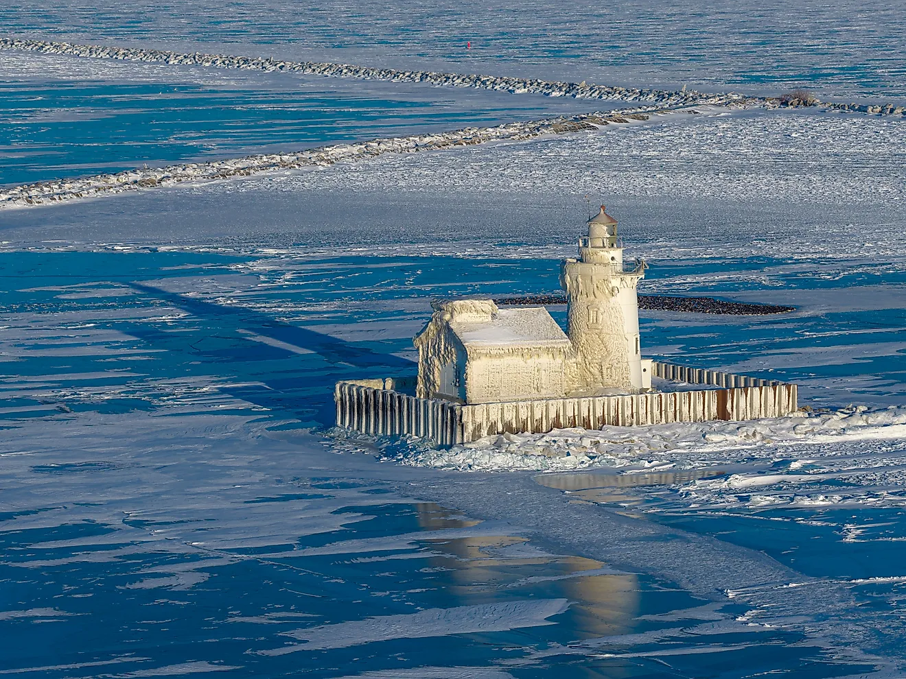
Reeder Road ends near the island's northern tip, and a trail of about three miles continues to Warrior Rock Lighthouse. Its 28-foot concrete tower dates to 1930 and is closed to visitors, though the grounds are open. The light's original fog bell, cast in 1855 and the oldest in the Pacific Northwest, cracked when it fell into the river during its removal after a barge hit the lighthouse in 1969. It now stands outside the Columbia County Historic Courthouse in St. Helens.
Grand Island, New York, Holds Far More People

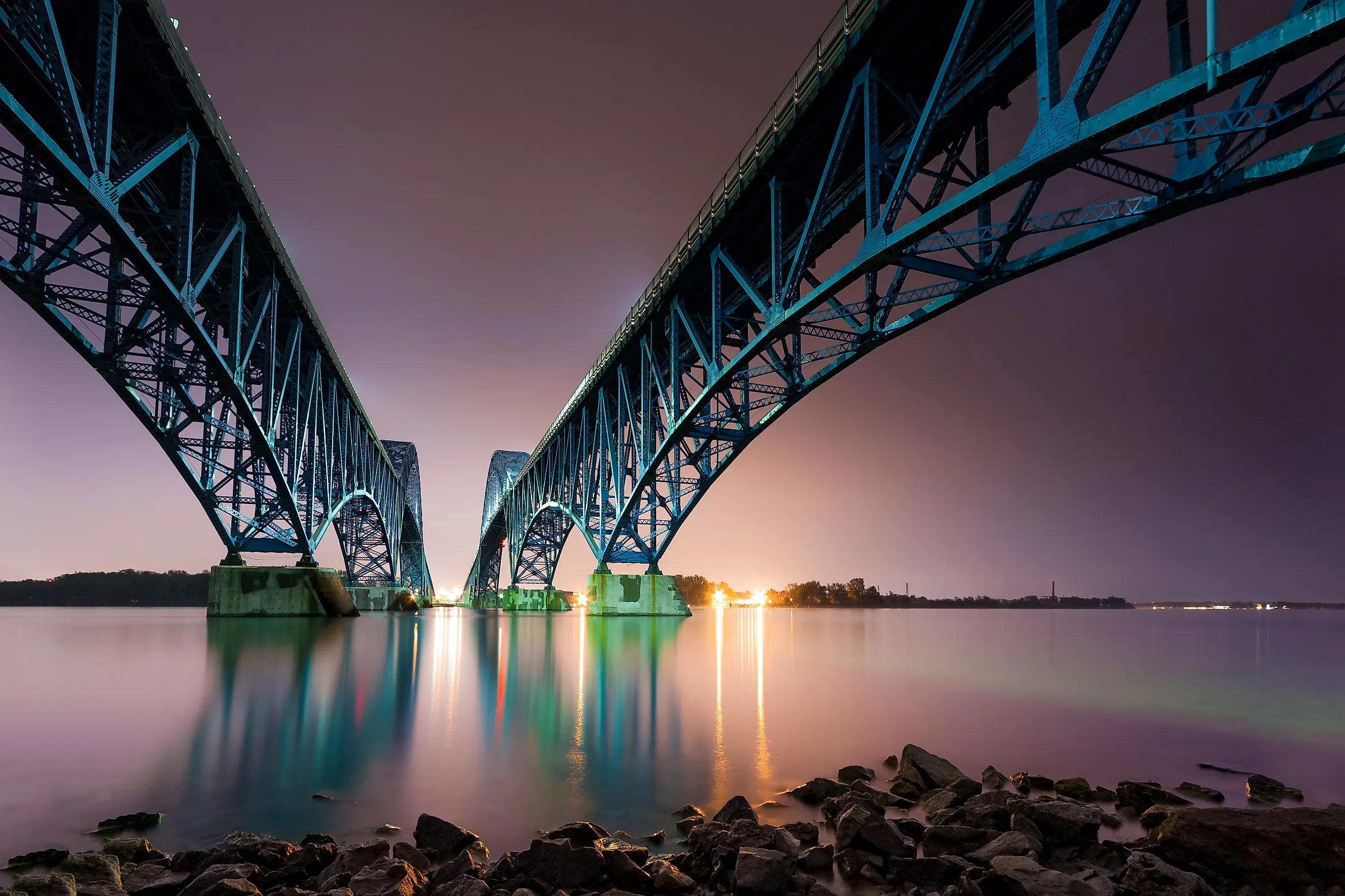
Grand Island, in the Niagara River northwest of Buffalo, has four bridges where Sauvie has one. Two pairs of spans carry Interstate 190 on and off the island, one for each direction at each end, and the northern pair leads to Niagara Falls. The island is the largest in the Niagara River and the third largest in New York State, with 28.3 square miles of land, or about 18,100 acres. It is also a single town of 21,389 people as of the 2020 census, about 20 times the year-round population counted on Sauvie in 2000.
At the north end, Buckhorn Island State Park is set aside mostly as an exhibit of Niagara River wetlands. Beaver Island State Park, at the south end, has a half-mile sandy swimming beach and an 18-hole golf course.
Southern Islands That Could Claim More Ground

The Mississippi River made Davis Island in 1867 by cutting across the neck of Davis Bend, about 20 miles southwest of Vicksburg, Mississippi. The old riverbed behind it survives as lake water. Estimates of the island's size run from about 30,000 to 45,000 acres, and its area rises and falls with the river. Access is by private ferry, boat, or a grass airstrip, and private hunting clubs hold most of the land, where fields that once grew cotton are now mostly planted with deer fodder. No levee surrounds it. In the 1983 flood, water covered all but 2 percent of the island.
California's Delta has larger tracts as well. Roberts Island, near Stockton, is surrounded almost entirely by water, and its farmland is split among three reclamation districts that together cover more than 30,000 acres. A state highway and a BNSF rail line cross it. Like the Delta's other islands, Roberts sits inside levees, and many Delta levees protect land below sea level. When a levee failed on the Delta's Jones Tracts in 2004, about 19 square miles of farmland went underwater.
Next to the world's largest river islands, Sauvie is small. Bananal Island in Brazil, between two forks of the Araguaia River, is close to 200 times its size. Majuli, in India's Brahmaputra River, has lost ground to erosion for more than two centuries, shrinking from about 500 square miles in the 1790s to roughly 340 square miles.
Sauvie holds the river off one half of the island and lets it back into the other. On the north end, the tide has run back into Sturgeon Lake since 2018, and the trails close each October as the cranes arrive. To the south, levees ring the farmland, and the fields behind them have to be drained. Four pumps in the island's pump house can move 125,000 gallons of water a minute off them. The pump station dates to 1941.