Glama River
Also known as the Glomma, the Glama River is Norway’s largest river in both length and volume. The massive river covers a distance of nearly 400 miles spanning the majority of Norway’s southern area. Throughout this length, the Glama River is essential for many industries in Norway, ranging from manufacturing to processing plants. Parallelly, the river is vital for maintaining Norway’s rich forests and provides a source of raw material and nourishment to most of the country. Thus, the Glama River is one of the most important in Norway and has many unique features that set it apart from the rest.
Source Of The Glama River

The Glama River originates near the Aursunden Lake in eastern Norway. This lake has an area of 18 sq. miles (46 sq. km.) and is often touted as being the primary source of the Glama River. However, the river’s actual headwaters are located near the lake within Glommadal Valley. Here, multiple smaller lakes and streams, such as Mustjønna, combine to form larger rivers with a significant flow of water. Following this, the multiple streams drain into Aursunden which then creates the Glama River. The river exits Aursunden Lake from the west towards the city of Glåmos, after which it begins moving southward.
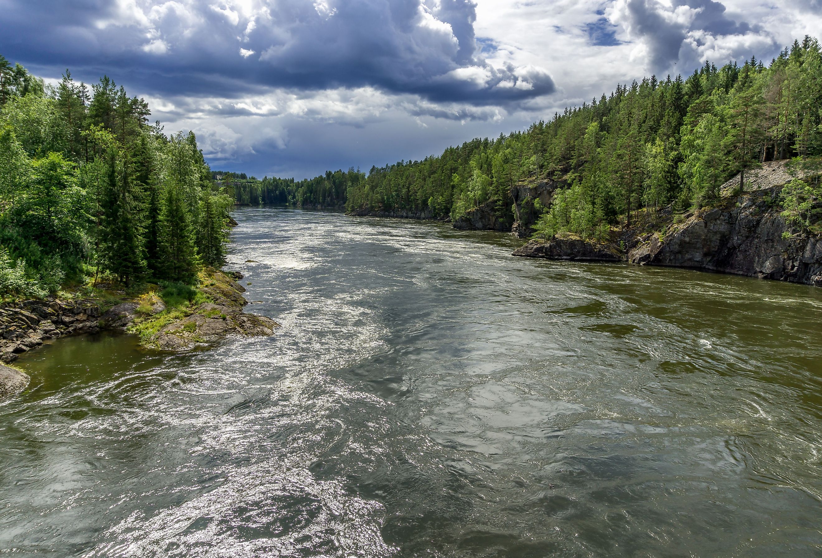
Course and Basin Of The Glama River

After beginning its journey from the western end of Aursunden Lake, the Glomma River moves westward until the village of Glåmos. From here, the river abruptly turns south and continues southwest crossing many communities such as Os, Tolga, and Telneset along its route. After covering a distance of approximately 50 miles, the Glama is met with the Folla River at Alvdal village. After this, the river begins moving in the southeast with a meandering course that is adjacent to many small villages and communities in Norway. This path continues until the Kongsvinger when the final stretch of the Glomma begins in an east-southward direction. Here, it is met with many major tributaries such as the Vorma River which is responsible for a large portion of the Glama River’s flow. Finally, after covering a total distance of 386 miles (621 km.) through most of eastern Norway, the Glomma reaches its mouth at the city of Fredrikstad. The water then flows out into Skagerrak and subsequently into the North Sea.
Being Norway’s largest river, the Glama also has a large basin size and impact on nearby areas. To this end, the river’s basin size is a whopping 16,000 sq. miles (42,000 sq. km.) which is more than 10% of Norway’s total area. Similarly, thanks to the confluence of many large tributaries, the Glama River also has a prominent discharge (rate of water flow) which is a maximum of 170,000 cu. feet/s (4,700 cu. m/s). Some of the major tributaries of the Glama River are: Atna River, Rena River and the Vorma River
Climate Of The Glama River

As the river covers a longitudinal length of approximately 300 miles, (480 km) the climate conditions change noticeably throughout. For the most exact figures, the mouth of the river at Fredrikstad is an ideal location for climate calculation. The Glama River lies within a (Cfb) Temperate oceanic climate zone according to the Koppen Climate Classification. This climate zone indicates mild temperatures throughout the year with above-average amounts of precipitation. Thus, the Glama River’s mouth at Fredrikstad has a 3.3-month-long summer season that lasts from May to September. During this time, temperature averages range from highs of 69 °F (21 °C) to lows of 48 °F (9 °C). Winters are slightly longer, spanning 4 months from November to March during which time the median temperatures stay within 25 °F (-4 °C) and 33 °F (0 °C). In terms of precipitation, the Glama River sees approximately 34.5 inches (876 mm) of rainfall per year. This is mostly seen in October, which is the wettest month, with nearly 11 rainy days! Along with this, as temperatures fall below 32 °F (0 °C) during winter, the area sees approximately 20 inches of snow each year.
Marine Life In The Glama River

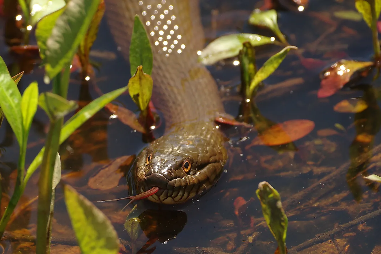
Due to the constant climate and large size, the Glama River is an ideal habitat for many marine animals. That being said, the majority of fish live south of Rena, as these areas are deeper and have a calmer flow of water. To this end, trout, pike, grayling, and mountain whitefish are prominent throughout the Glama. These species are also some of the most popular for fishing in Norway! Apart from this, species such as perch and gwyniad can also be found in some nearby lakes and streams of the Glama River.
Economic Importance of the Glama River

Spanning throughout a large portion of Norway, the Glama River holds significant economic value. To this end, many industries within the manufacturing and processing sectors are located along the river’s mouth. Major sawmills and paper mills use the river as a source of logs and other raw materials. Apart from this, the river is also an important source of energy for many parts of eastern Norway. This is thanks to the development of multiple hydroelectric plants which utilizes the Glama River’s strong flow to produce large amounts of energy,
Conclusion
Ranging from its natural significance to its value for the local fish industry, the Glama is a beautiful river in Norway. It has a massive length and provides an immense benefit to thousands of people living in the region. Moreover, the river runs through many major cities and forests, providing a sense of scenic beauty to many parts of eastern Norway. Thus, the Glama River truly is a magnificent body of water.