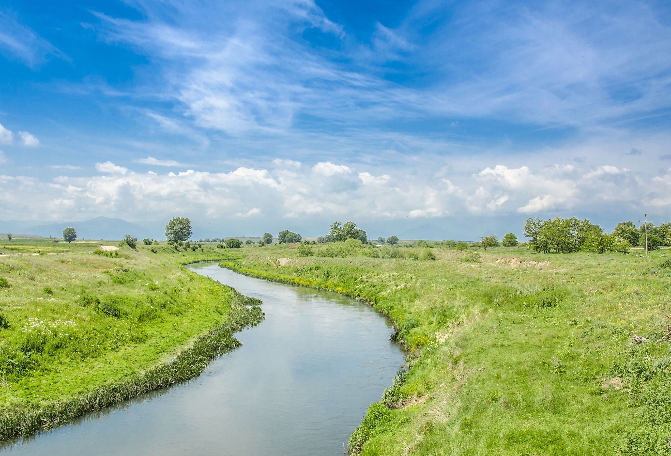
Crna River
Located in the Balkans, the Crna River runs near the mountains of North Macedonia. The river is the longest river in North Macedonia and runs through Demir Hisar. At one point, the Crna had a bend nearly 180 degrees east of Bitola. This served as a historically significant site during World War I. Other well known sites of the Crna River include the Skochivir Gorge. The Crna River carved out the iconic Skochivir Gorge–a popular tourist destination for photos.
Geography

The Crna River is in North Macedonia, in the Balkans and runs south and west. It is the right tributary, or stream, of the Vardar river–the longest river in North Macedonia. The length of the river is 207 kilometers, making it the largest right tributary of Vardar. The river has an average elevation of 131 meters.
On one end, the river emerges from a spring called the Black Hole at an altitude of 760 meters near the village Zheleznec. The Crna then flows through Demir Hisar, a town in North Macedonia, to Pelagonija and the village Skochivir, where it reaches the Skochivir Gorge. Before the river exits the gorge, there is a dam where the Crna River flows into Tikvesh lake. The Crna river is a fast mountain river . Water from the mountains in the western part of Northern Macedonia feeds the river.
The Battle of Crna Bend

An important geographical feature of the Crna River is the bend nearly 180 degrees east of Bitola, a city in the southwestern part of Northern Macedonia. At the bend, two important battles took place during the first World War. The Battle of Crna Bend (1916) and the Battle of Crna Bend (1917). The Battle of Crna Bend (1916) was between the Bulgarians and Entente armies. The battle lasted two months and ended after weeks of fighting, with severe casualties on both sides. The Bulgarians eventually retreated from Bitola, on November 19th.
The Black River

The Crna River translates to the Black River in Macedonian. This is a translation of its name from ancient times, Erigon. This is a Thracian name, also meaning black. Thracian is an extinct language from ancient times. The name Erigon also brought about many legends related to the Crna River. One story depicts a fight between two dragons. According to the legend, during the fight, the dragons broke apart from the land somewhere in the Mariovo on the mountains. In this exact path, the Crna river began to flow. The legend describes the turbulent geological period and refers to a creation of the deep river basin of the Crna River. It also speaks to the formation of the Skochivir Gorge.
Skochivir Gorge of Crna River

The Skochivir Gorge divides Mariovo into two. As the Crna River flows through Mariovo, it creates the Skochivir Gorge. The largest part of the gorge at 59.5 kilometers, is in Mariovo.The Skochivir Gorge is the longest gorge in Macedonia and is around 80 km in length.The gorge is a popular tourist destination because of the beautiful landscape. There are many trails and scenic spots where people can get a good view of the Skochivir Gorge.