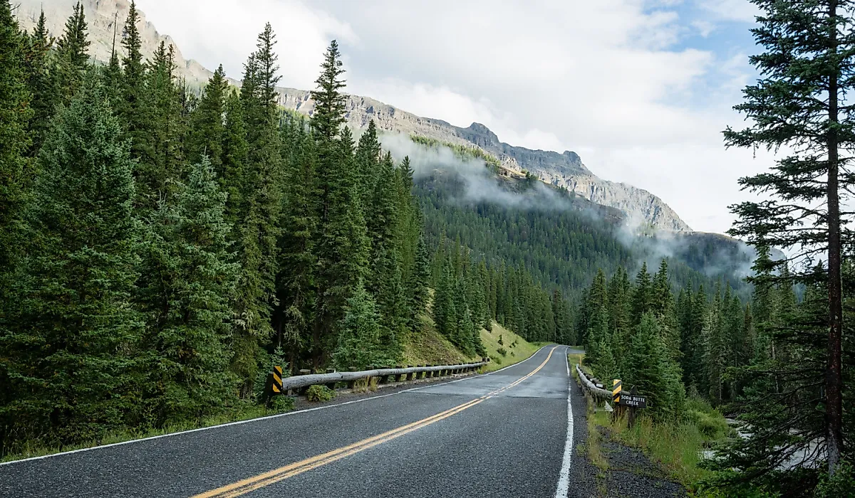
This Montana Scenic Byway Is The Road Trip Of A Lifetime
Montana's only All-American Road climbs the Beartooth Range on its way to Yellowstone National Park, and an approach along the 68-mile Beartooth Highway is guaranteed to make the highlight reel. The drive starts at Red Lodge in the foothills along Broadway Avenue. Twenty-one miles on, the Rock Creek Vista Point overlook opens onto Rock Creek Canyon at 9,190 feet, and the switchbacks keep climbing to Beartooth Pass at 10,947 feet. Below the summit, alpine tundra gives way to forest, glacial lakes, and snowmelt waterfalls within a few steps of the pavement in the northern Rockies. Nine stops along the route explain why the byway itself is as good a reason to make the trip as its Yellowstone destination.
Know Before You Go

The Beartooth Highway begins and ends in Montana, carving through northern Wyoming for part of the drive. The full 68-mile route takes two to three hours, or longer with stops at the pullouts and parks along the way. No fee is charged for the road itself, so fuel is the main expense. Optional costs, such as campsites and park admission, are worth planning for.
The Beartooth Highway typically opens around Memorial Day weekend and closes in mid-October. Outside those months, heavy snowfall keeps the road shut. Summer has the lowest likelihood of seasonal restrictions, making it an ideal time to drive the Beartooth Highway. However, unpredictable weather can lead to closures at any time, especially at higher elevations. Road trippers should check for closures in advance using the Montana Department of Transportation's MDT 511 Traveler Information Map.
Top Stops Along The Byway
Red Lodge (Montana)

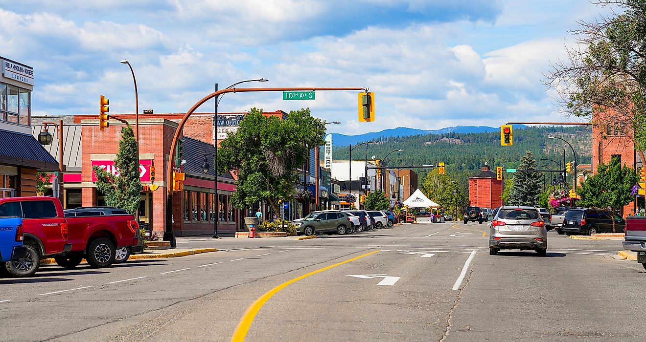
Many road trippers like to start this drive in Red Lodge, Montana. The Carbon County town sits in the foothills of the Beartooth Mountains, hinting at the beauty to come. Before hitting the road, Broadway Avenue offers plenty of places to fuel up and shop for road trip essentials. The 19th-century main street is lined with boutiques and cafes worth a stop before the climb begins.
Beartooth Books sells a range of reads for road trip passengers. Right next door, Coffee Factory Roasters sells caffeine to help keep drivers perky. Broadway also has a selection of outdoor outfitters, including the Sylvan Peak Mountain Shop and Grizzly Peak Outdoors. Both specialize in adventure supplies such as trail maps and outdoor apparel, allowing shoppers to stock up on last-minute gear.
Greenough Lake (Montana)

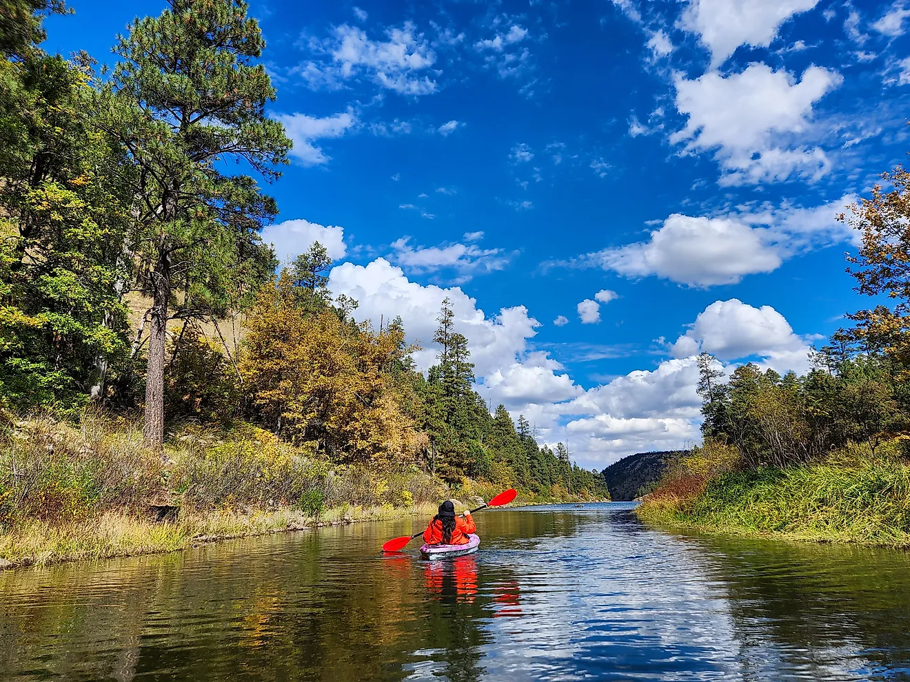
Twelve miles south of Red Lodge, Greenough Lake is a quiet introduction to the mountains. Sitting near 7,200 feet in the Custer Gallatin National Forest, the lake is surrounded by aspens and pine-covered hills. The Greenough Lake Campground is a short walk away, though day use is also allowed. Some road trippers stop for a few hours to kayak or canoe. Others come to picnic or hike along the water's edge.
The 2.3-mile Parkside National Recreation Trail explores more of the area, meandering through meadows and pine groves in Rock Creek Canyon on its way south to the M-K Campground. The Greenough Lake trailhead sits at one end of it, and the whole route gains only about 200 feet. The campground's full-service season generally opens in late May and closes in early September, weather permitting. Single campsites cost $20 per night as of 2026, and each has a campfire ring and picnic table.
Rock Creek Vista Point Rest Area (Montana)

The Rock Creek Vista is the first major pullout on the Beartooth Highway, about 21 miles up from Red Lodge. The rest area sits at 9,190 feet above sea level and has parking and restrooms. From the lot, a short paved trail leads to the main viewing platform, where sightseers look down on the Rock Creek Valley and Canyon. The deep glacial canyon carves through the Custer Gallatin National Forest toward the Hellroaring Plateau. Interpretive panels along the trail cover the area's natural history, and the paved surface makes the overlook one of the few wheelchair-accessible stops on the byway.
Beartooth Pass Overlook (Wyoming)

Crossing into Wyoming, Beartooth Pass is the highest point of the byway. Also known as the West Summit Overlook, this 10,947-foot road summit takes in distant peaks and alpine valleys in every direction. Weather allowing, road trippers can walk out onto the alpine tundra around the overlook. The elevation brings strong winds, cold temperatures, and snow even in July. Sudden summer snowstorms can close this stretch with little warning.
Top of The World Store (Wyoming)

Mountain conditions mellow out at the Top of the World Store, which sits 9,400 feet up. The log cabin general store was built near Beartooth Lake in the 1930s, before the highway existed, and moved to its current spot along the road in 1964. With nothing around for miles, it has become the byway's default supply stop, selling gas, snacks, Wyoming fishing licenses, and souvenirs. Back outside, the mileage signs out front and the peaks behind them often lead to a longer break than most drivers plan on.
Beartooth Lake (Wyoming)

Two miles on, Beartooth Lake sits right beside the highway in the Shoshone National Forest. Beartooth Butte towers over the western edge of the 110-acre lake, and evergreen groves cover the rest of the shore. As at Greenough Lake, a campground sits nearby, and day use is also allowed. Single campsites cost $25 per night as of 2026, and the season usually opens in late June and closes by mid-September.
Wyoming Game and Fish stocks the lake with thousands of rainbow and cutthroat trout every year, and at 85 feet deep, it holds lake trout as well. A boat ramp serves the shore, though paddlers outnumber motorboats most days. Walkers have options too. An easy trail leaves the lake's outlet and follows Beartooth Creek down to Beartooth Falls, a 100-foot drop that sees a fraction of the traffic the pullouts get.
Crazy Creek Cascade (Wyoming)

The Crazy Creek Cascade marks the end of the byway's run through Wyoming. Flowing through the Shoshone National Forest, the falls are unusually shaped. Instead of spilling in a single vertical plunge, the water accelerates down a 450-foot ramp of bedrock at a pitch of only 25 to 30 degrees, dropping roughly 110 feet in total. Snowmelt swells the creek in early summer, when the slide is at its loudest. The falls are accessible via a 1.7-mile out-and-back hike from near the Crazy Creek Campground.
Cooke City (Montana)

Back in Montana, Cooke City is the final stop before Yellowstone. The Beartooth Highway forms its Main Street, bordered by gas stations, restaurants, and a general store. Cooke City Coffee handles the morning end of things, while the Beartooth Cafe covers lunch and dinner with comfort food and a deck that faces the surrounding mountains. For a longer layover, the Miners Saloon serves burgers and pizza into the evening. A few doors down, the Cooke City Store carries souvenirs alongside water, trail snacks, and fishing gear.
Yellowstone National Park (Montana)

The final stop of the Beartooth Highway is Yellowstone's Northeast Entrance. Of the park's five entrances, this one draws the fewest visitors, a function of how far it sits from everything else. Its standout feature is the Lamar Valley, which some call the Serengeti of North America for its wildlife. Driving through grasslands framed by the Absaroka Mountains, parkgoers will often see large herds of wild bison. Other valley pullouts turn up wolves, bears, and elk.
Montana's Highest Stretch Of Pavement
Montana's Beartooth Highway carries its road-trip reputation across the Beartooth Plateau and is worth every mile. The Top of the World Store still sells gas and fishing licenses at 9,400 feet, the only supply counter for dozens of miles in either direction. Beartooth Lake spreads out beneath Beartooth Butte with a boat ramp and a campground on its shore, and Crazy Creek slides 110 feet down bare rock a short walk off the road. Cooke City then offers a last meal and a full tank before the Northeast Entrance. Yellowstone closes the route, a fitting end to a bucket-list drive.

_(52925398667).jpg)