11 Most Scenic Drives in The United States
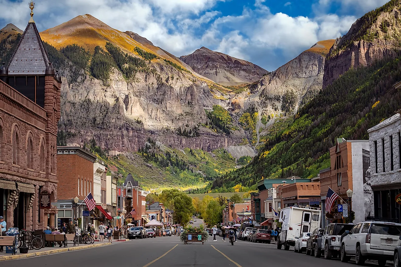
The Million Dollar Highway climbs over Red Mountain Pass on US 550, its outer lane dropping straight to the gorge with no guardrail for long stretches. That is one way to see the country from a car. The eleven stunning drives here run through desert, alpine switchbacks, and Lake Superior shoreline. Each one earns its place in a different way, but they share a premise: the view worth the trip is the one through the windshield.
Blue Ridge Parkway, Virginia and North Carolina

The Blue Ridge Parkway winds along the Roanoke Region, connecting Virginia to North Carolina. With long views across the Blue Ridge Mountains, this drive has plenty of lookouts to stop at, as well as over 369 miles of hiking trails, including access to sections of the Appalachian Trail.
Find the start of the Blue Ridge Parkway near Waynesboro, Virginia, at Rockfish Gap. Follow the road south toward Bedford, where you can stop near the Peaks of Otter and walk the Sharp Top Trail. Continue along the Parkway to The Great Valley Overlook to see the broad stretch of greenery between the Blue Ridge and Allegheny Mountains. Farther south, the drive reaches the Roanoke Region, where the Roanoke Valley Overlook looks down across the largest community along the Parkway. Continue toward Cahas Mountain Overlook, then stop at Devil's Backbone Overlook for views of the mountains and forested ridges. Pine Spur Overlook follows soon after, offering another wide view across the Blackwater Valley. The road then continues toward Smart View Recreation Area, where you can see Trail Cabin and enjoy the nearby overlook. Farther south, stop at Rakes Mill Pond before continuing deeper along the Blue Ridge Parkway, which ends in Cherokee, North Carolina.
Skyline Drive, Virginia

To see more of Virginia's natural beauty, you can take the Skyline Drive. A 105-mile trek through Shenandoah National Park, this drive will take you along the Blue Ridge Mountains, where you can see them up close and personal. It takes three hours to drive the entire length of the park, with the Skyline Drive being the only public road to take you through the National Park. There are four possible entry points to Shenandoah Park, with closures occurring during severe weather events. The park has an alert system to keep you up to date on potential road closures.
Starting near Waynesboro, enter Skyline Drive at Rockfish Gap and follow the road north through Shenandoah National Park. You can stop and admire the view from Sawmill Ridge Overlook before continuing toward the Loft Mountain area. As the drive continues north, stop at The Oaks Overlook for an up-close look at the mountains and surrounding forest, then pass the Lewis Mountain area. Farther north, you can stop at Little Devils Stairs Overlook to enjoy views from the northern section of the park. The drive continues toward Shenandoah Valley Overlook near Front Royal, where you can see the northern end of the park and nearby valley scenery.
Going-To-The-Sun Road, Montana

Going-to-the-Sun Road is a scenic 50-mile drive through Glacier National Park in Montana, connecting the West Glacier/Lake McDonald area with St. Mary. Parts of the road are closed seasonally, and the full route usually does not open until late June at the earliest; alpine sections typically close around the third Monday in October, though weather can change access earlier. The road has size restrictions for vehicles, so do your research before hitting the road.
Starting at the West Glacier Railroad Depot, follow Going-to-the-Sun Road along Lake McDonald, with views of McDonald Falls accessible from the road. Drive through Avalanche Creek, where you can stop and hike the Trail of the Cedars Nature Trail before heading back on the road. Continue toward Logan Pass Visitor Center, where you can find access to more trails and alpine views. After crossing Logan Pass, stop at Jackson Glacier Overlook for views of Jackson Glacier and the surrounding peaks. Follow the road along Saint Mary Lake until you reach your stopping point at Saint Mary Visitor Center.
Beartooth Highway, Montana and Wyoming

Continuing the road trip through Montana, the Beartooth Highway is a 68-mile byway connecting Montana and Wyoming. As part of Yellowstone Country, the highway provides access to Yellowstone National Park's Northeast Entrance. With views of the staggering Beartooth Mountains, there is plenty to see on the ride.
Starting in Red Lodge, drive south into the Custer Gallatin National Forest before crossing into the Shoshone National Forest in Wyoming. Continue toward Beartooth Pass, with sightseeing opportunities at West Summit Overlook and the high alpine pullouts near the pass. Heading farther along the highway, you will drive by Island Lake and Beartooth Lake before the road returns to Montana near Cooke City and re-enters the Custer Gallatin National Forest.
Chief Joseph Scenic Byway, Wyoming

Traveling further into Wyoming, the Chief Joseph Scenic Byway is a 47-mile mountain drive. This drive links the Cody area to the Beartooth Highway and Yellowstone National Park's Northeast Entrance. The route crosses Shoshone National Forest through the Absaroka Mountains before reaching the open land of Clark's Fork Valley, with views toward the North Absaroka Wilderness, the Beartooth Mountains, and the Clarks Fork of the Yellowstone River along the way. The best time to enjoy this drive is in summer and autumn, when the scenery is awash with color.
Starting north of Cody at the junction with U.S. 120, follow Chief Joseph Highway northwest through Shoshone National Forest. As the road climbs through the Absaroka Mountains, you can take in views toward the North Absaroka Wilderness and the Beartooth Mountains, with broad panoramas opening around Dead Indian Hill and Sunlight Basin. Continue toward the Clarks Fork Valley before joining the Beartooth Highway, where the route continues toward Yellowstone National Park's Northeast Entrance.
North Shore Scenic Drive, Minnesota

Featured as an "All-American Road", the North Shore Scenic Drive takes you on a journey through Minnesota woodlands, along the shore of Lake Superior, all the way to the US-Canada border. With numerous stops along the lake to take in the sights and tourist destinations, this drive has plenty to do for every type of adventurer.
Starting at the Lake Superior Maritime Visitor Center in Duluth, follow the route toward Brighton Beach to enjoy some time by the water. Continuing northeast, you can experience a one-mile scenic drive along Lake Superior called Stoney Point Scenic Drive, a dirt road just off Highway 61. Further up the shore, enjoy views of Two Harbors Lighthouse, the oldest operating lighthouse in Minnesota. Enjoy a walk along the waterfront at Agate Bay, where you can find trails and paved walkways leading to Burlington Bay.
Continuing on your drive, you can stop at Gooseberry Falls State Park to enjoy views of the waterfalls and hiking trails. The state park is especially beautiful in the autumn when the leaves change color. Continuing toward Iona's Beach Scientific and Natural Area, you can spend some time at the "Pink Beach," where the nearby cliffs have shed pink rhyolite shards covering the area in pink rocks. Farther northeast, enjoy views of more waterfalls around Beaver Bay before continuing to Palisade Head, a lakeside cliff that is a popular overlook for travelers. The drive continues with views of the lake, trees, and rocky expanses until you reach Cascade River State Park, where you can stop and enjoy the views from the footbridge that spans across the park's cascades. The road continues until you reach Grand Portage State Park, a few short miles away from the US-Canada border.
Park Loop Road, Maine

Park Loop Road is a 27-mile scenic drive taking you through Acadia National Park in Maine. The drive skirts through the eastern side of Mount Desert Island, connecting Acadia's lakes, mountains, and shoreline. This short drive is rife with local wildlife sightings, especially around dusk and dawn, so be mindful while you're driving through.
Starting at Hulls Cove Visitor Center, follow Park Loop Road toward Bar Harbor and the eastern side of Mount Desert Island. Traveling along the road, you can stop near the Precipice Trailhead before continuing toward the Beehive Trailhead and Sand Beach. Spend some time by the water at Sand Beach before following the coastal section of the loop toward Otter Point. From there, the road continues inland toward Jordan Pond, with nearby stops at the Bubbles and Bubble Rock. Before looping back toward Hulls Cove, you can also take the Cadillac Summit Road spur to enjoy views from Cadillac Mountain.
Million Dollar Highway, Colorado

A 25-mile stretch of US Route 550, the Million Dollar Highway, is a scenic yet treacherous road in Colorado. Running through towering peaks, deep gorges, and alpine meadows, this scenic drive is popular among adventure seekers. Narrow lanes and hairpin turns, combined with cliffs, make this highway one of the most dangerous in America.
Starting in Ouray, follow US 550 south over Red Mountain Pass to Silverton. If continuing on the broader San Juan Skyway loop, the route continues south toward Durango, then west toward Mancos and Dolores, north through Rico and Telluride, and back east through Ridgway before returning to Ouray.
Scenic Byway 12, Utah

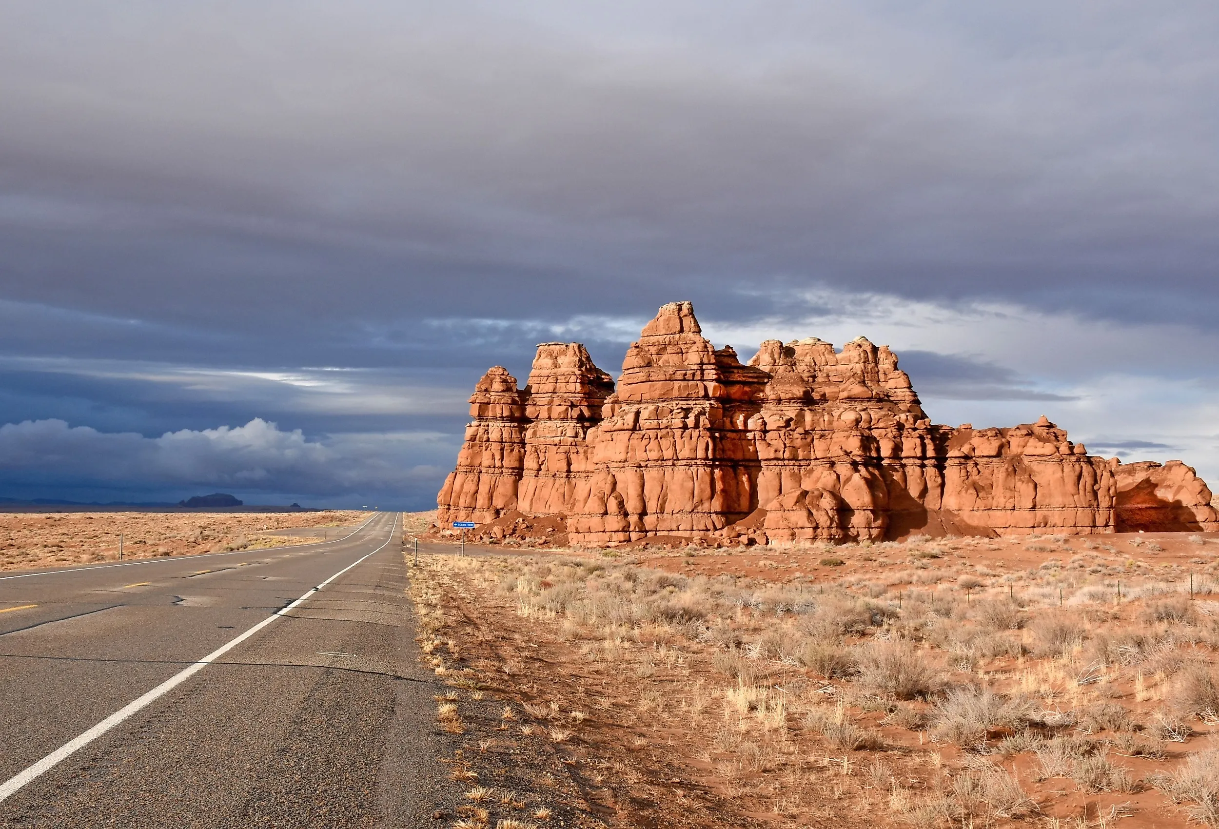
Scenic Byway 12, also called "A Journey Through Time," is a 123-mile All-American Road across southern Utah, linking Bryce Canyon and Capitol Reef country. The road climbs from roughly 4,000 feet at the Escalante River to about 9,000 feet under the rim of Boulder Mountain, passing through red rock canyons, slickrock desert, and aspen forest in a single run. One stretch, the Hogback between Escalante and Boulder, follows a narrow ridge with steep drop-offs on both sides and no guardrail, so take that section slowly.
Starting south of Panguitch at the junction with US 89, follow SR 12 east through the red rock arches of Red Canyon in Dixie National Forest. Continue past the turnoff to Bryce Canyon National Park and through the small towns of Tropic, Cannonville, and Henrieville. As the road crosses Grand Staircase-Escalante National Monument, you can stop near Calf Creek to reach Lower Calf Creek Falls, then continue over the Escalante River and along the Hogback toward Boulder. North of Boulder, the byway climbs Boulder Mountain, where overlooks open toward the Henry Mountains and Capitol Reef, before the road drops to its end at Torrey.
Red Rock Scenic Byway, Arizona

Cutting through Arizona's Red Rock Country, the Red Rock Scenic Byway is a top destination on the All-American Road road trip bucket list. The red rock formations and mountain bluffs are a sight to behold, especially in the light at the peak of sunset, when the cliff sides glow red.
Starting at the Interstate 17 Junction, take the Red Rock Scenic Byway toward Sedona. As the scenery shifts into Red Rock Country, continue toward the Village of Oak Creek and the Bell Rock area, where you can stop at Bell Rock Vista and enjoy nearby trails around Bell Rock and Courthouse Butte. Farther north, follow SR 179 toward Sedona for views of Cathedral Rock and the surrounding red rock formations. Once you reach the northern end of SR 179 near Sedona, you can make a separate side trip to Red Rock State Park on Red Rock Loop Road.
Hana Highway, Hawaii

A popular tourist attraction for vacationers in Hawaii, the Hana Highway winds through rainforests, waterfalls, pools, and seascapes, taking you through Kahului, connecting to the remote town of Hana. The highway is composed of narrow one-lane roads, with hairpin turns, crossing over 50 bridges, and can take between two and four hours to safely navigate. There are tour buses available to take you through the highway, with stops at the most popular destinations, so you have the option to enjoy all of the sights without the stress of navigating the treacherous roads.
Starting at Kahului Airport, take the Hana Highway toward Kuʻau and continue past Ho'okipa Beach Park, where you can enjoy ocean views and surfing. Drive past Twin Falls near mile marker 2, stop separately at the Garden of Eden Arboretum and Botanical Garden near mile marker 10.5, then continue toward Kaumahina State Wayside Park for coastal views. Farther along the road, you can enjoy views of Upper Waikani Falls before continuing toward Makapipi Falls. After that, continue toward Waiʻānapanapa State Park, where you can walk the Coastal Trail before reaching the town of Hana.
Driving in America
These drives will take you across state lines, all the way up to the Canadian border, and even through a tropical, yet difficult to navigate paradise as you enjoy some of the best views the American roads have to offer. With so many different landscapes, monuments, and views to enjoy, there is something here for everyone.