This Arizona Scenic Byway Is The Road Trip Of A Lifetime
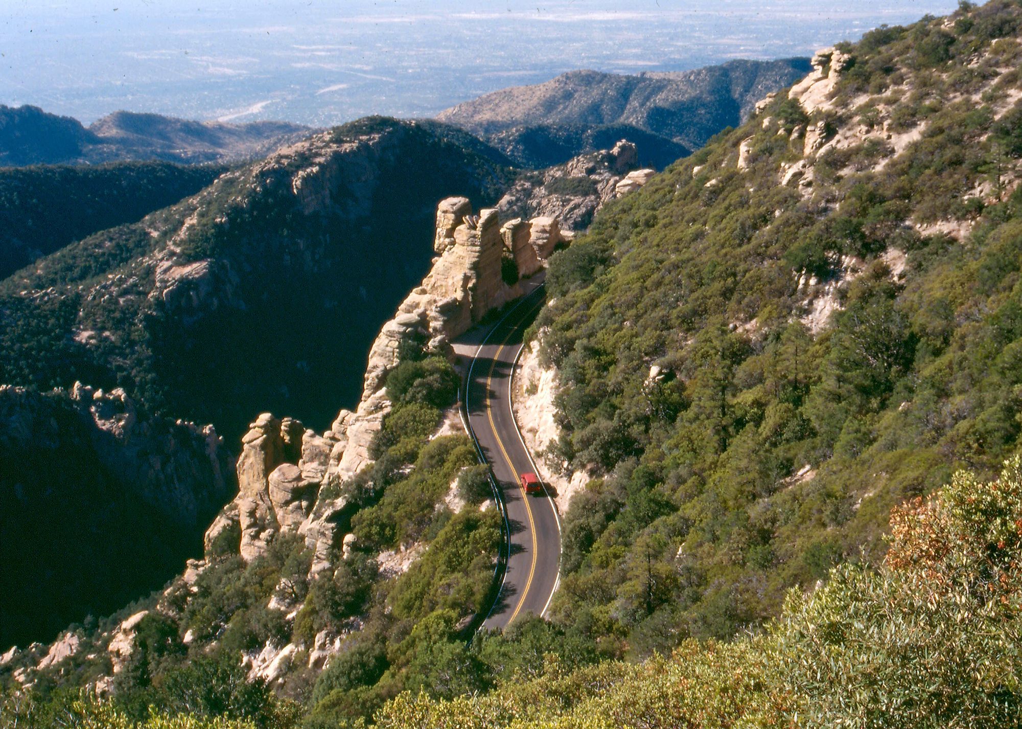
In the space of a single morning on the Sky Island Scenic Byway, a driver can leave the saguaros baking on the desert floor and stand among ponderosa pines with snow still lingering in the shade. The road climbs roughly 27 miles and gains more than 6,000 feet, a vertical rise that biologists like to compare with the ecological span of a drive across the entire continent. It carries several names along the way, including the Catalina Highway and its official designation, the General Hitchcock Highway. Because the climate at the top can run 20 to 30 degrees cooler than the base, a trip that starts in Arizona desert heat can end in a cool coniferous forest by afternoon. Two unhurried days give a traveler time to hike, camp, fish, and watch the stars come out over the Santa Catalina Mountains.
Day 1: Babad Do'ag to Rose Canyon

The lower miles run through classic Sonoran Desert, where saguaro cacti stand thick along the shoulder of East Catalina Highway before it becomes the Mount Lemmon Highway. The first stop worth making is the Babad Do'ag Vista, near milepost two. In the Tohono O'odham language, "babad do'ag" means "frog mountain," the tribe's traditional name for the whole Catalina range. A steep trail climbs from near the overlook up into the Pusch Ridge Wilderness for anyone wanting to stretch their legs before the real elevation begins. A few miles on, Molino Canyon Vista overlooks a drainage that stays dry most of the year, though a recent rain can leave a thin stream running over the rock. A short walk from the pullout gives a closer look at the canyon.
Higher up, the road passes Thimble Peak Vista and the Seven Cataracts Vista Point, which looks out on a run of seven small waterfalls that drop through the craggy ground between Bear Canyon and Willow Canyon. Trails here reward the effort, though the steeper pitches ask for reasonably sure footing, and rangers advise staying on the marked paths. The highway then bends sharply past Windy Point Vista, an escarpment more than 6,400 feet up with eroded rock formations and a long view over the Tucson basin, and continues by Geology Point to Rose Canyon Lake. Rose Canyon Campground sits at about 7,000 feet among Gambel oak and ponderosa pine, a good place to spend the night under skies dark enough for real stargazing. Anglers can try the lake for stocked trout before turning in.
Day 2: Rose Canyon to Mount Lemmon

Morning at this altitude arrives crisp, a reminder of how far the road has already climbed. A five to 10 minute drive from Rose Canyon Campground reaches San Pedro Vista and Sycamore Canyon Vista, where the San Pedro River Valley opens up to the northeast, its distant brown peaks stippled with green. Further along the Mount Lemmon Highway, the University of Arizona's Mount Lemmon SkyCenter sits near the summit as the public outreach site of the university's Steward Observatory, offering daytime tours and evening stargazing through some of the largest public telescopes in the Southwest, all by advance reservation. Near milepost 20 is the Palisades Visitor Center, where staff answer questions about the Santa Catalina Mountains and a bookstore sells maps, though travelers should note it has no restrooms or drinking water on site. The road then curves past Bear Wallow and climbs toward Aspen Vista and the Butterfly Peak Natural Area, with Summerhaven only a few minutes ahead.

Mount Lemmon rises above 9,100 feet at its summit, the high point of the Santa Catalina Mountains and part of the Coronado National Forest. Summerhaven, the small resort village just below it, makes a natural place to stop for a meal. Sawmill Run Restaurant plates familiar American fare like burgers and sandwiches, while the Mt. Lemmon Cookie Cabin trades in cookies and pizza, and the Mt. Lemmon General Store & Gift Shop sells homemade fudge along with snacks and souvenirs. Hikers who press on can walk among aspen and conifer at the top of the mountain. The Mount Lemmon Recreation Site near the summit charges an $8 day-use fee per vehicle. The mountain itself carries the name of Sara Plummer Lemmon, a botanist who reached the summit in 1881 with her husband, botanist John Gill Lemmon, guided by rancher Emerson Stratton. Stratton, impressed by her, christened the peak in her honor, making it one of the few American mountains named for a woman. Skiers know the summit as home to the southernmost ski destination in the continental United States.
Leaving the Sky Island
Descending back into the desert closes one of the more dramatic short drives in the Southwest, but Arizona keeps a long list of designated scenic byways for anyone who wants another. A stretch of Historic Route 66 still crosses the northern part of the state, and the short Red Rock Scenic Byway near Sedona threads through some of Arizona's most striking sandstone formations. What sets the Sky Island apart is the compression: a climate range that would take a thousand miles of latitude to cross elsewhere, folded into a single afternoon's drive up one mountain.